This is my entry for the BeautifulSunday challenge, initiated by @ace108:
Climbing the Mount Ramelau, East Timor.
Subida ao Monte Ramelau, Timor-Leste.
(ENG)
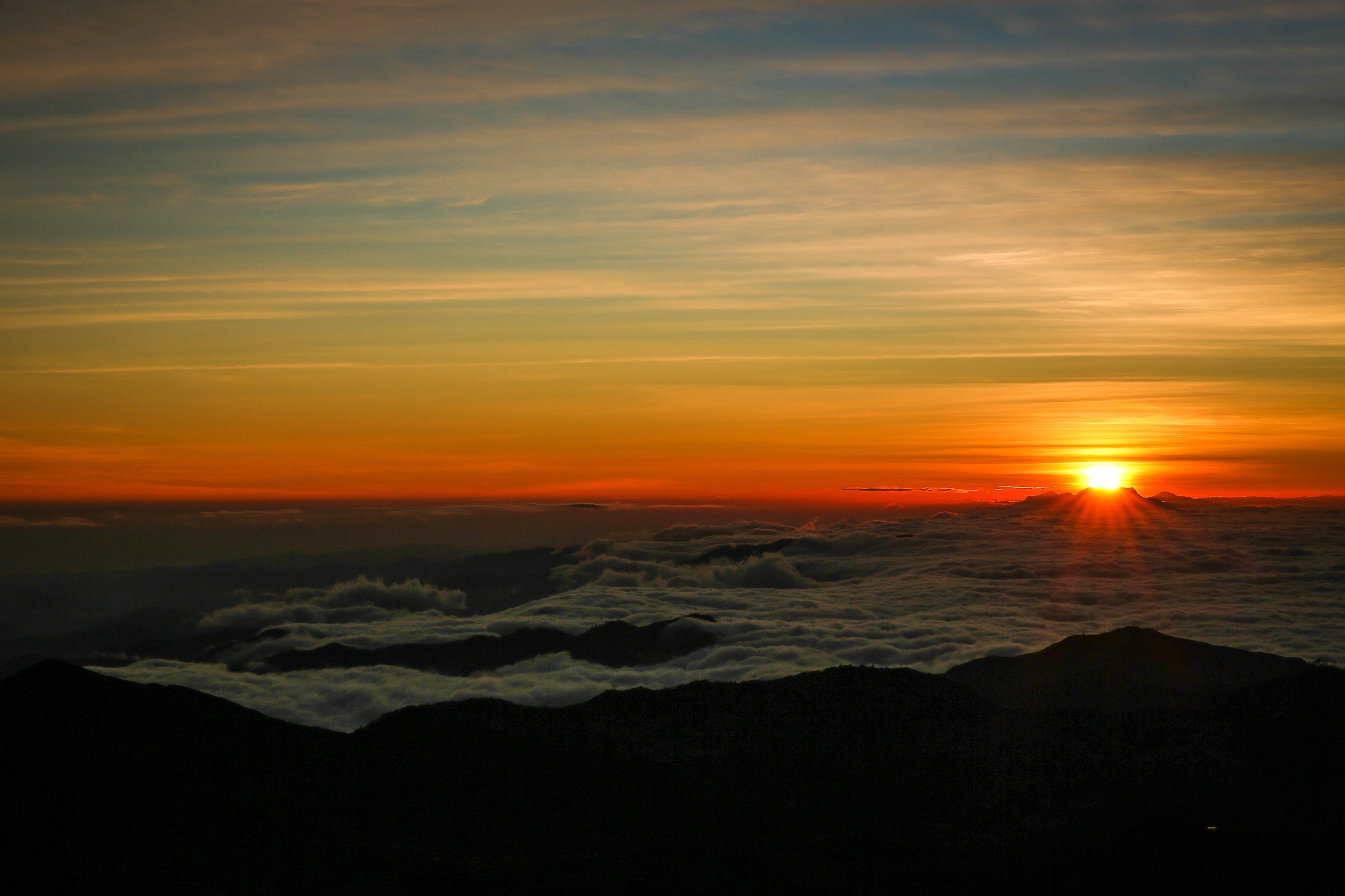
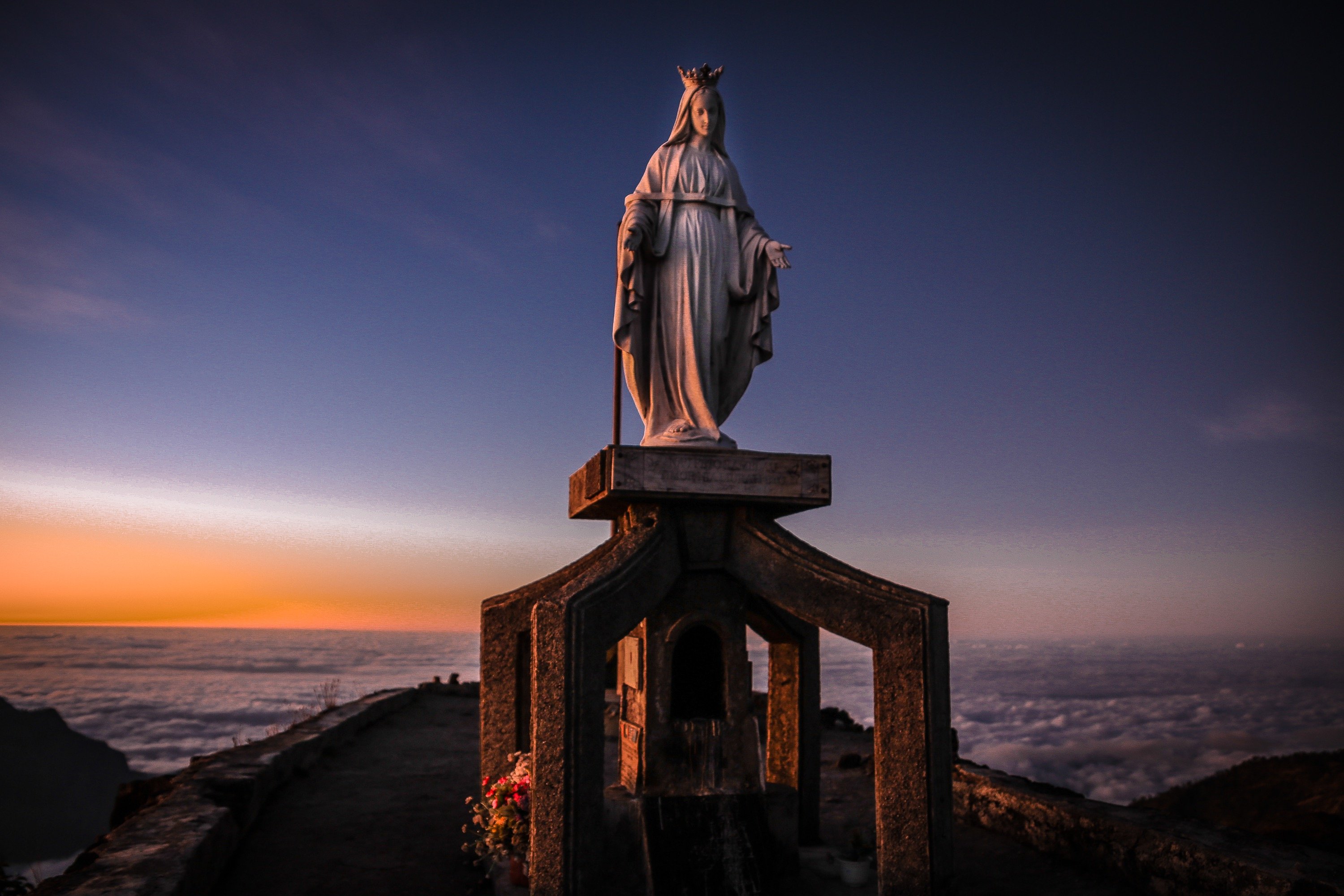
Tatamailau , sometimes referred as Mount Ramelau, is the highest mountain in Timor-Leste and also of Timor island at 2,986 m. The mountain is located approximately 70 km (43 mi) south of the capital Díli in the district of Ainaro. While East Timor was a Portuguese colony it was called the highest mountain of Portugal. There is a three metre high statue of the Virgin Mary on the peak, which came from Italy and was erected during Indonesian occupation in 1997.
(https://en.wikipedia.org/wiki/Tatamailau)
(PT)
O monte Ramelau ou Foho Ramelau, em tétum, é a mais alta montanha da ilha de Timor e o ponto mais alto de Timor-Leste, com 2.963 m de altitude. A montanha localiza-se aproximadamente 120 km a sul da capital, Díli, no subdistrito de Hatu Builico, distrito de Ainaro, e é relativamente fácil escalá-la em três ou quatro horas a partir da localidade de Hatu Builico. O pico Tatamailau é o ponto mais alto da montanha. Durante o período colonial esta era a mais alta montanha de Portugal, e hoje o Ramelau é o segundo ponto mais alto de todas as ex-colónias portuguesas, após o pico da Neblina, no Brasil, que atinge 2.993 m.
(https://pt.wikipedia.org/wiki/Monte_Ramelau)
Taken with my Canon EOS 5D MkIII and my and Sigma 24-70mm f/2.8 IF EX DG HSM lens. Edited with Lightroom.
(Shutter speed 1/400 sec. at f/13, focal length 70mm, ISO 200)
To know more about this challenge check out this link: @ace108/2sihzf-beautifulsunday-powered-up-winners-for-the-week-with-help-of-steemsql-or-steemsql-by-ace108
Photos: Mount Ramelau, East Timor.
Latitude/longitude: 08°57′48″S 125°27′21″E
I hope you enjoyed it!
Thanks @ace108 :)
Have a great Sunday!
Isabel
www.isabelnolasco.com