I just realised I haven't written a post about hiking in England for a long time, and just so happen this weekend Facebook reminded me of a walk I did 5 years ago.
發覺很久已沒寫過有關英國遠足的文章,而這個週末臉書剛提醒我五年前我去的一個遠足。


The walk was at Devil's Punch Bowl at Surrey, South England, and has two very interesting features. First is its name. During my walk, there was a sign explaining how it got its name.
遠足地點是英國南部Surrey 縣的 Devil's Punch Bowl。這個地點有兩個獨特之處,第一個是它名字的來源。話說以前這裡的雷神跟魔鬼合不來,魔鬼經常讓雷神生氣,於是雷神在地上挖泥巴扔向魔鬼,久而久之地上被雷神挖出了一個大碗盤因而得名。

You can't see the actual bowl here very well, but it is in the centre of the photo, surrounded by Gibbet Hill which is the second highest hill in Surrey.
大碗盤就在這照片中間,但不是很明顯因為它被 Surrey 第二高山坡 Gibbet Hill包圍(其實所為第二高也只是海拔 272米而已),我站的位置不夠高,所以拍得不太清楚。
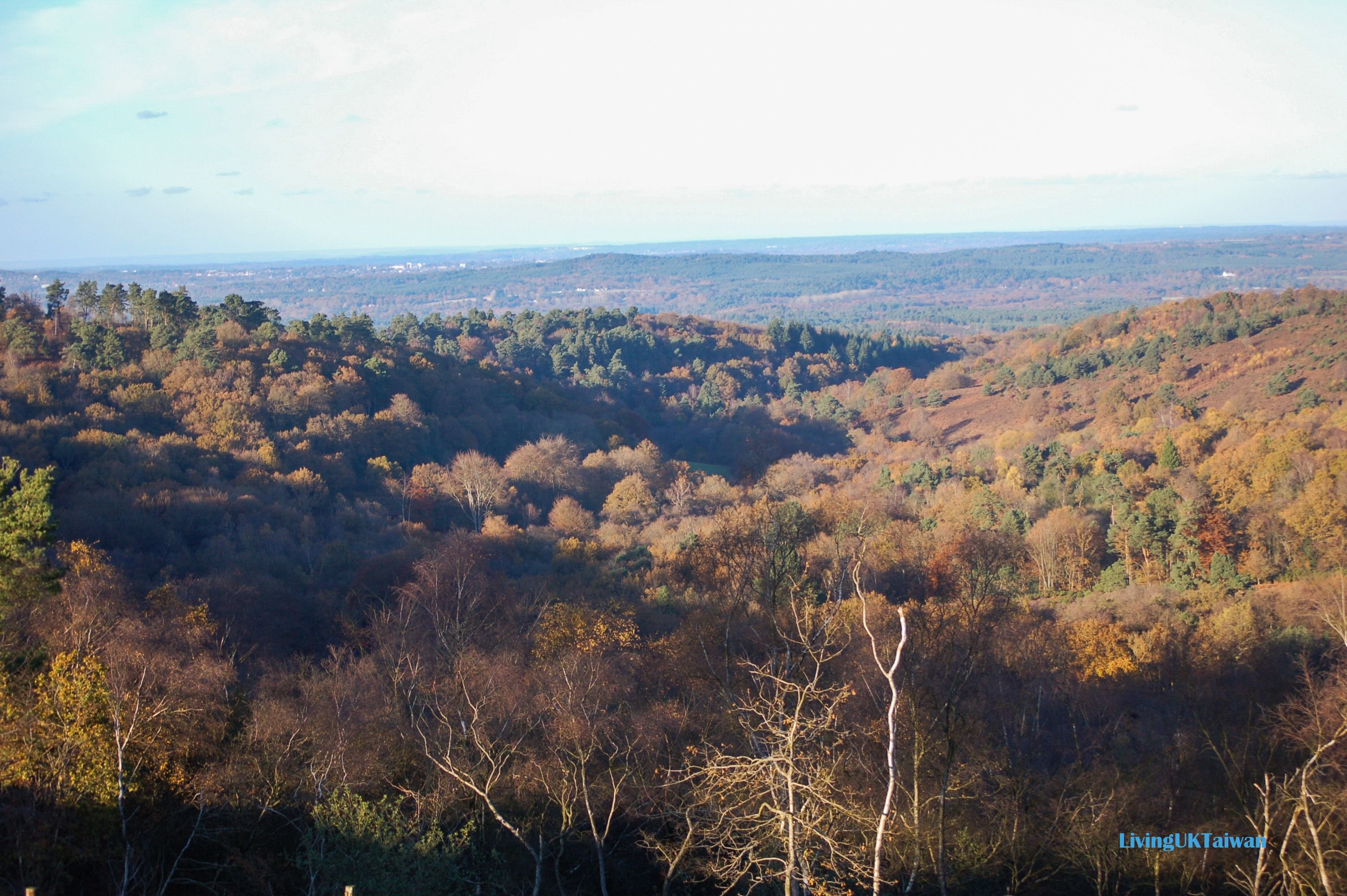

This area has a long history, so I'm not surprised there are these sort of legends associated with it. In reality, the Bowl is formed due to the geological landscape. The upper layer consists of sandstone and the bottom layer is clay. Over the years, the spring water beneath the sandstone has caused the upper layer to collapse, forming a massive bowl filled with natural heathlands, streams and woodland.
這一帶地區有深厚的歷史,所以有這些傳說也不出奇。 其實大碗盤的形成是跟地質有關。這裡地質的表面是一層砂岩,下面是黏土。多年來溪水在表層下經過,慢慢侵蝕砂岩層令它下塌形成一個很大的碗盤。結果大碗盤裏面生滿了石楠,有小溪流和密集的林地,形成了很獨特的地勢。

The walk starts besides a stretch of the old A3 road which is the second interesting feature of this walk. The A3 is the main road from London to Portsmouth, a port city 110km away from London. Around 30,000 vehicles a day use this route. Commuters driving down this section of road previously would drive through Devil's Punch Bowl (the bend in the photo below) and then through the small picturesque Hindhead Village which was a major bottleneck for traffic flow. This was a nightmare for both drivers and villagers particularly during rush hours.
遠足起點在一段舊的A3公路旁邊, 是這個步道的第2個特點。 A3是從倫敦往樸次茅斯的主要公路,全程110公里,每天有大概3萬兩車駛經。 以往車輛會繞經Devil's Punch Bowl,就是在下面照片見到那個大彎,然後穿入一個很美麗的小村莊 Hindhead Village。小村莊自然成了瓶頸,造成大塞車,駕駛者及村民都覺得非常煩厭。
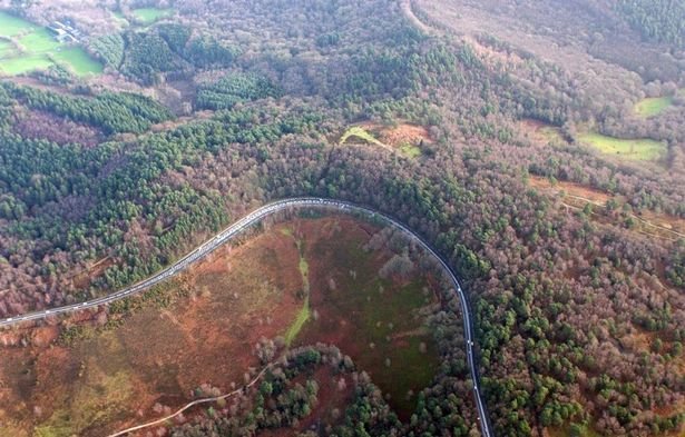
Credit : http://www.bbc.com/news/uk-england-surrey-14651185
In 2011 the new Hindhead Tunnel opened, diverting traffic away from the village and into a 1.9km long tunnel under Devil's Punch Bowl. This is the yellow thick line in the map below, and the tunnel is in grey. The red line is the old route. The U-shape on the right is the bend in the above photo, then it routes into Hindhead village and out to the A3 again. The new tunnel and bypassing the village reduced driving time by up to 20 minutes during rush hour and gave Hindhead Village residents their village back.
在2011年政府在 Devil's Punch Bowl開拓一條隧道, 交通不需用再繞入小村莊。以下地圖黃色粗線條就是這條新道路,灰色部份是隧道 。紅色線條是以前舊的道路,右邊的大彎就是上面照片的同一段彎路。 開拓新道路及隧道後,車子再不用繞入小村莊,在繁忙時候省了大概20分鐘的時間。最重要是村民以後不用再受車輛騷擾。
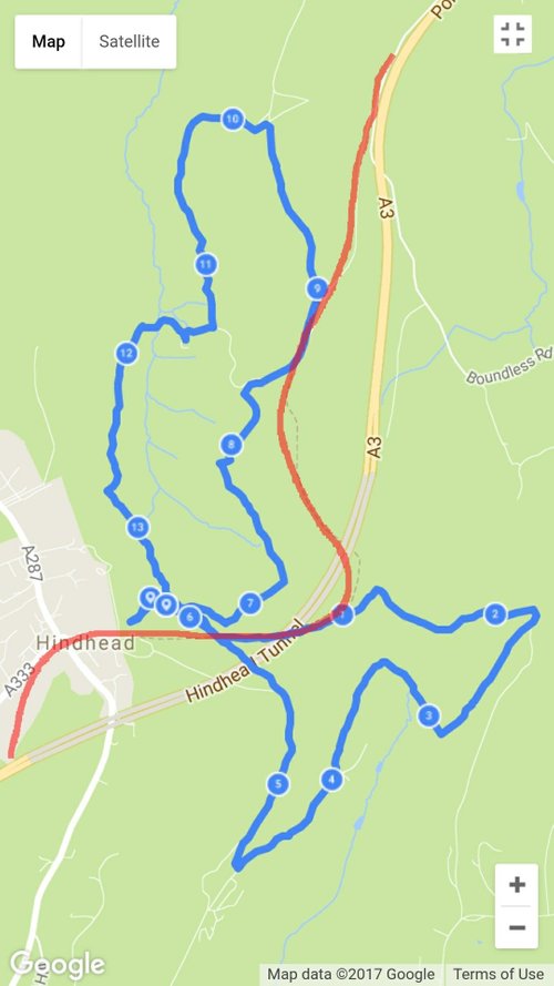
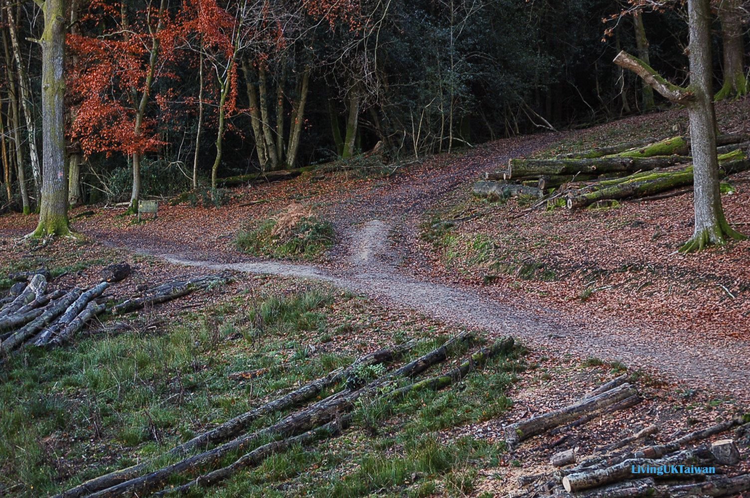
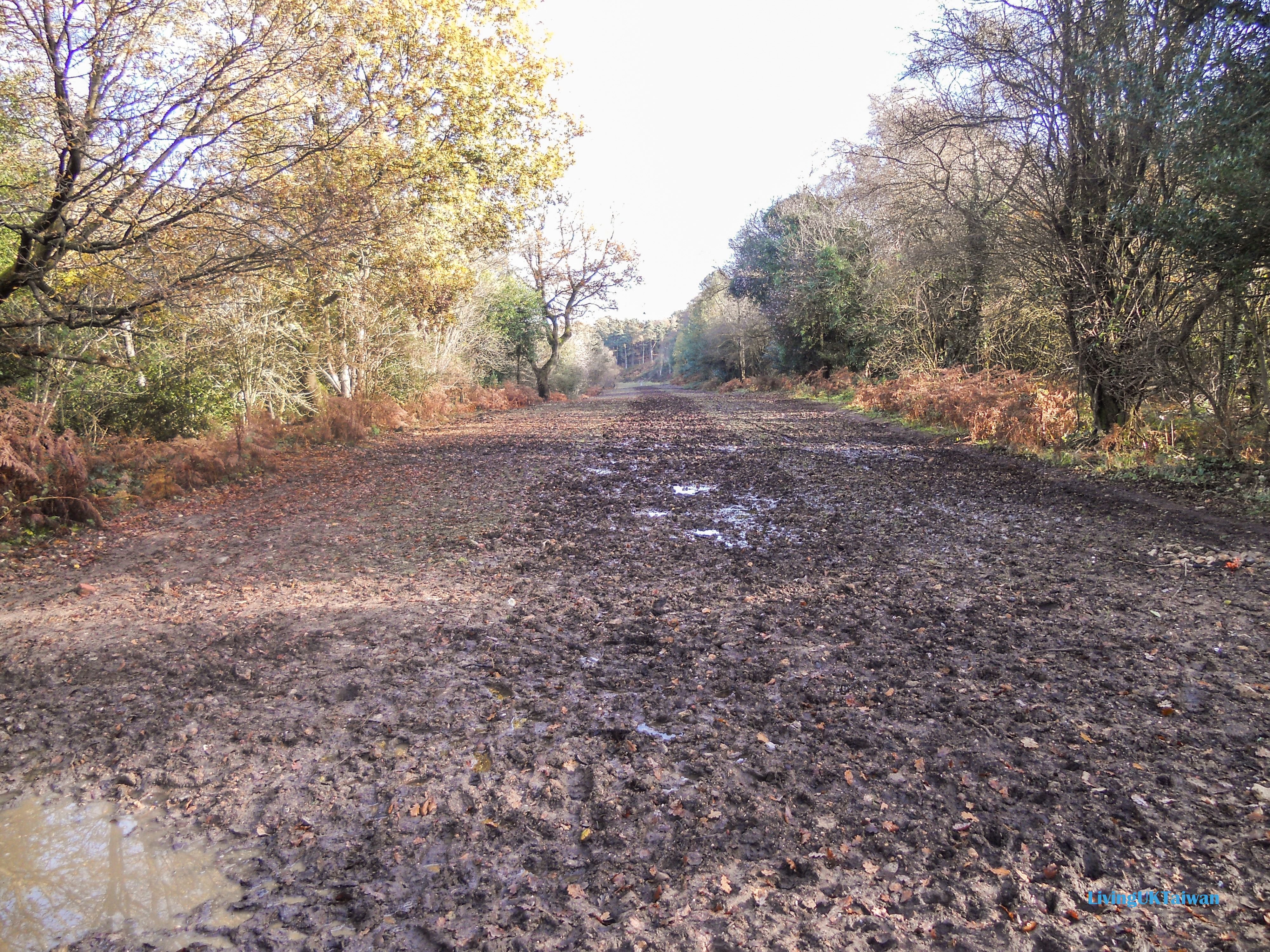
The blue figure 8 is my walking route and you can see it overlaps with part of the old A3 red route. In the photo below is the section of the old A3 and it's difficult to imagine 30,000 cars used to zoom down here at 80kph every day. Since then, the old section of the A3 is slowly being restored to blend in with its natural habitat, and is a paradise for walkers. Opening the new Hindhead Tunnel was definitely a win win win for everyone.
地圖上藍色的8字型就是我遠足的步道。它有一部分是在舊的紅色公路上走。 以下照片中看到的就是以前A3公路舊段, 真的很難想像以往每天有3萬兩車輛,以時速80公里在這裏駛過。 現在這一段道路已回歸大自然,讓居民和行山人士享用。 這條新隧道帶來了三贏結局。

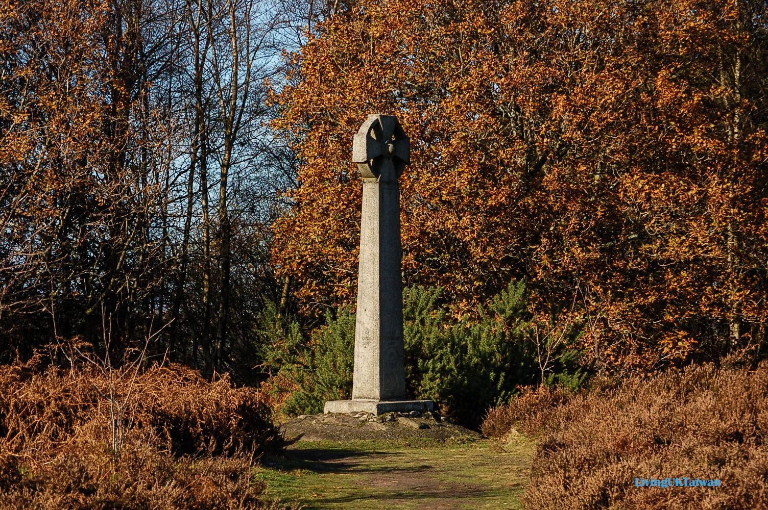
Near the start of my walk is the Celtic Cross. In 1786 a seafarer was walking from London to Portsmouth to join his ship. Yes, that's the whole 110km! To give you an idea, it took me about 3.5 hours to walk 14km during this walk, so imagine how long it would have taken him to get to work. Anyway, on the way, he befriended three men in a pub near here, and even treated them to drinks and dinner. Unfortunately, these men then brutally murdered him, stripped him naked, threw his body down the hills and even tried to sell his clothes. Later on, the men were caught and hanged near where they murdered the seafarer. After the murder and hanging, the locals became very afraid of this area, so in 1851 the Celtic Cross was erected to banish these fears.
遠足起點附近還有一個石做的十字架。在1786年時有一位航海員要從倫敦步行到樸茨茅夫上船工作。對呀! 就是要走110公里。問 110公里要走多久? 我這天的遠足有14公里走了3個半小時。可想而知當年航海員上班是需要多大的毅力。言歸正傳, 這名航海員走到 Devil's Punch Bowl 附近,結識另外三名航海員,更在一家中途酒吧招待他們喝酒及晚餐。 可惜這他遇人不淑,被三個航海員謀財害命。他們把他殺掉後,屍體被推落山下,還脫掉他的衣服準備賣掉賺錢。三個殺人犯很快被抓到,最後他們在謀殺航海員附近的地點被問吊。 因為這件事件,之後多年來村民都對這地方都感到很害怕。於是在1851年有人在這裏建造這個石做的十字架,以慰藉村民和保平安。

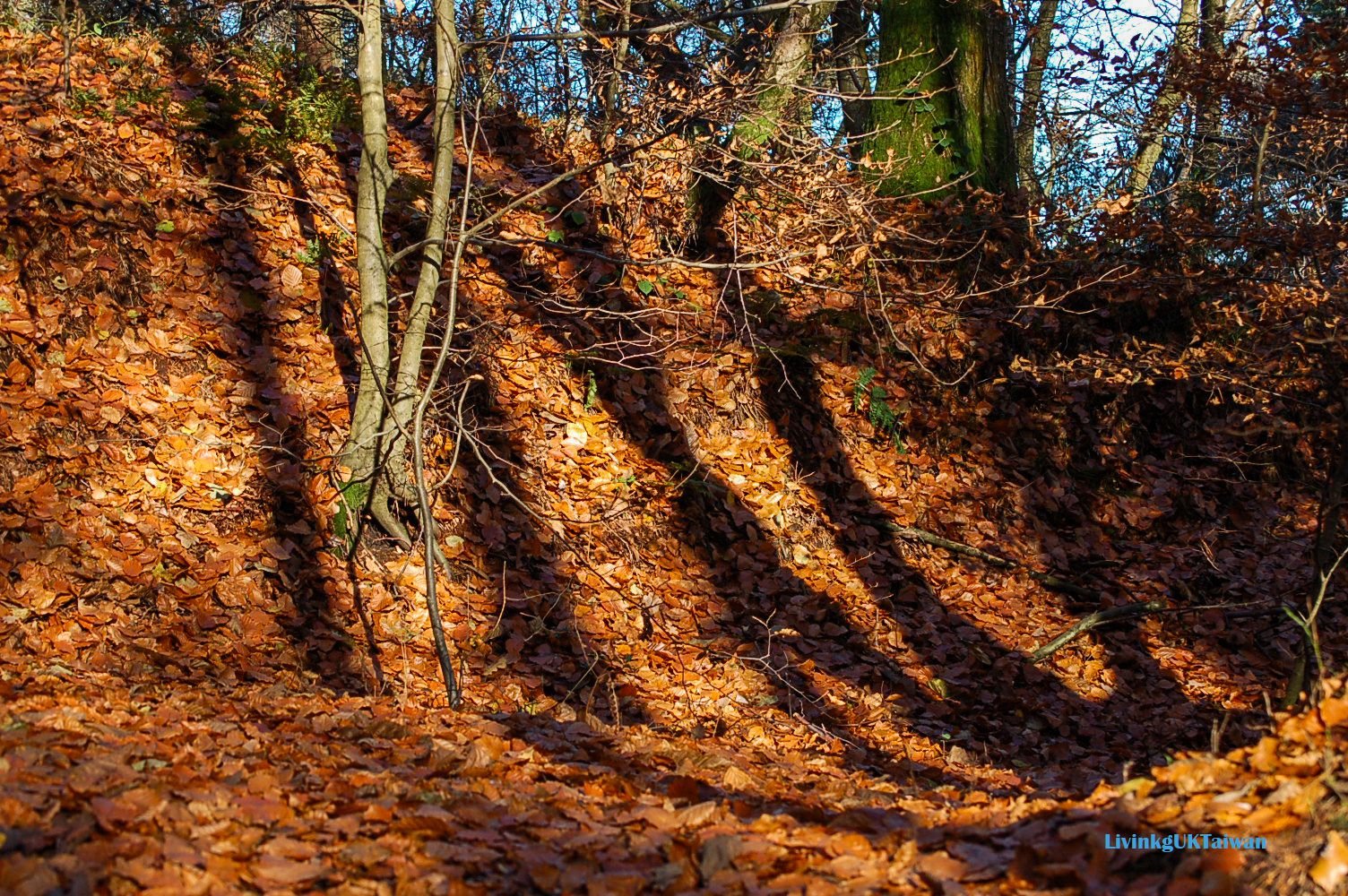
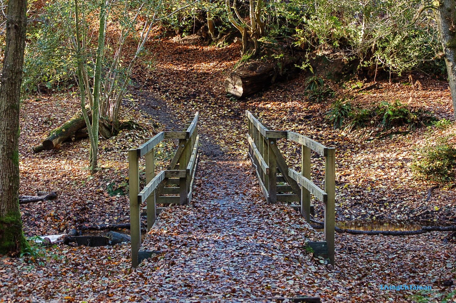
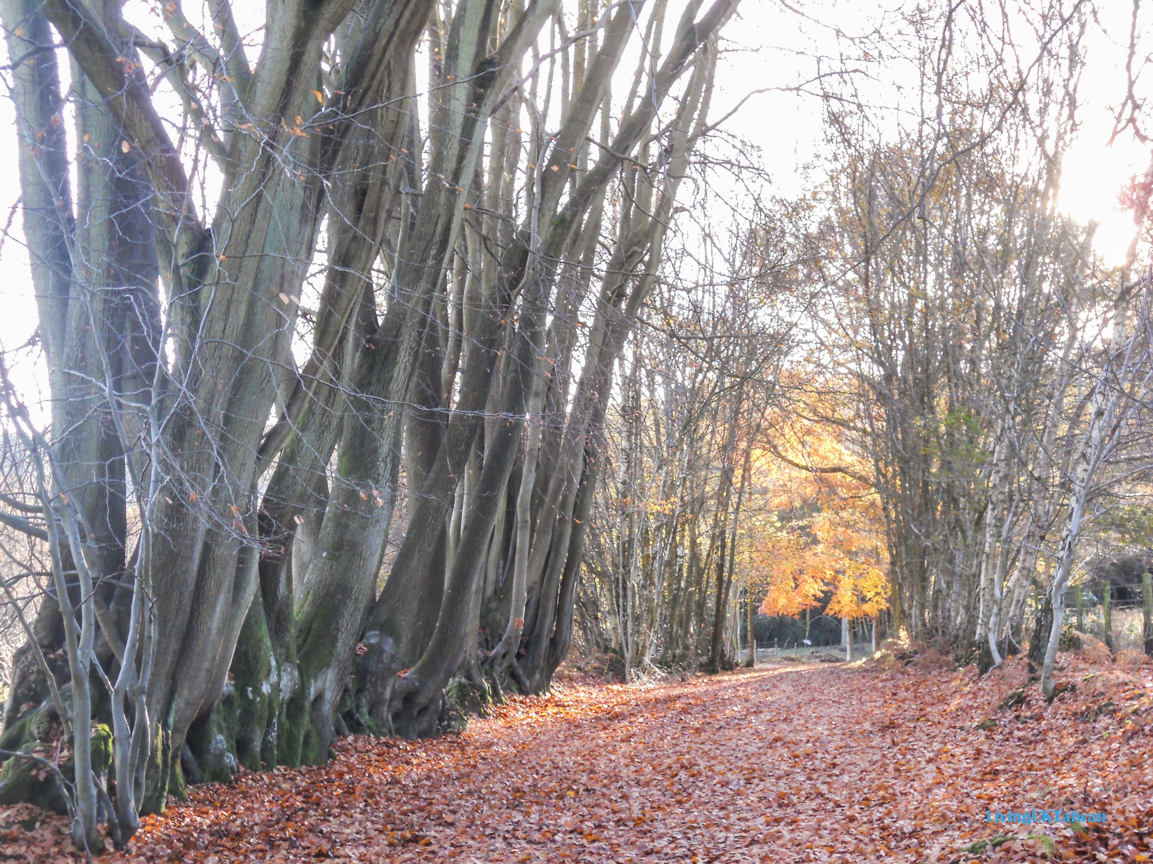
History and legends aside, this walk is very popular as it has an abundance of natural beauty especially in autumn. When I went, the ground was already covered in a carpet of golden leaves.
歷史歸歷史,其實在這個步道十分漂亮。尤其我去的時候正是秋天時份,漫山黃葉,像是一片金黃色的地毯。

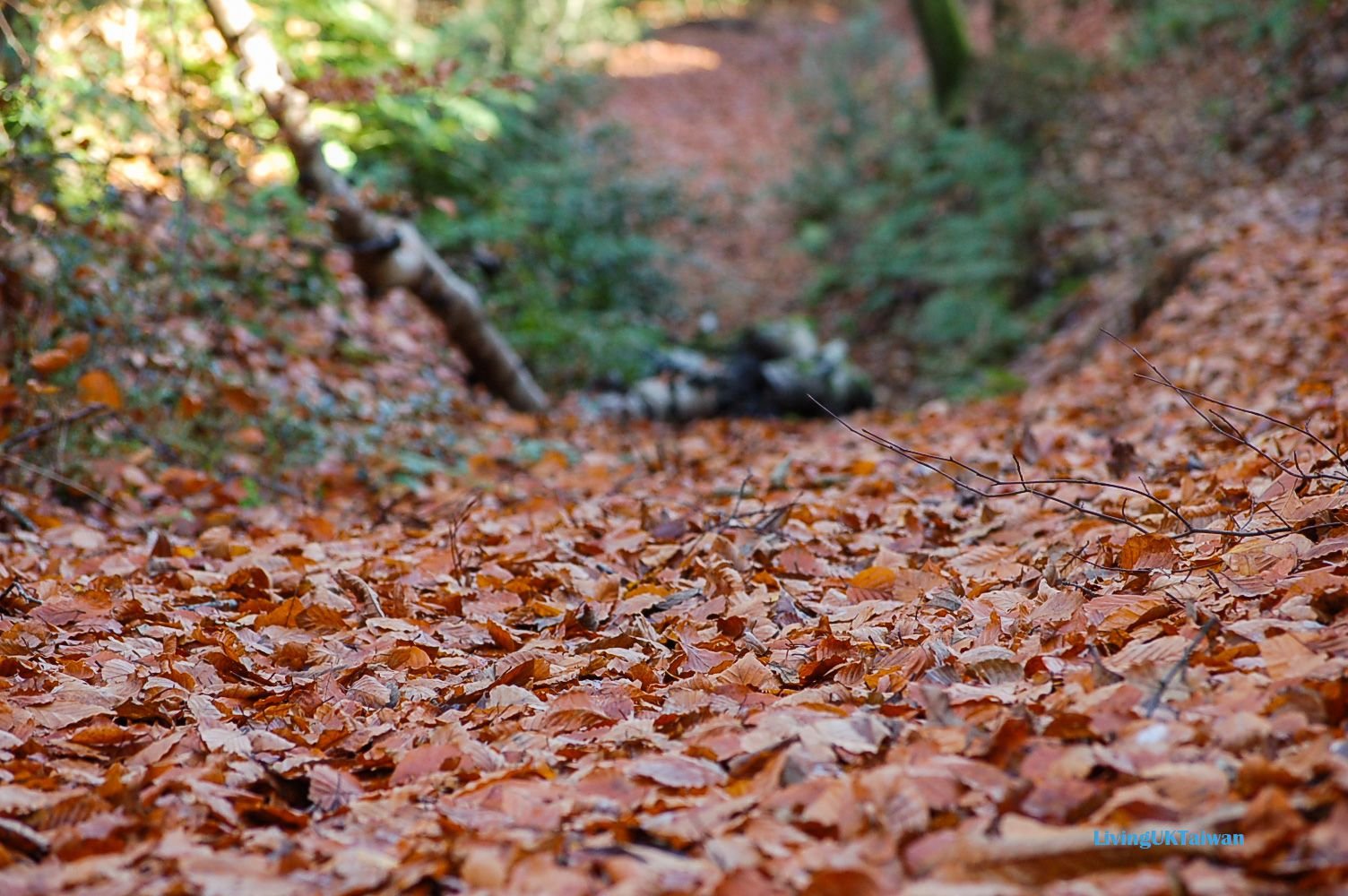
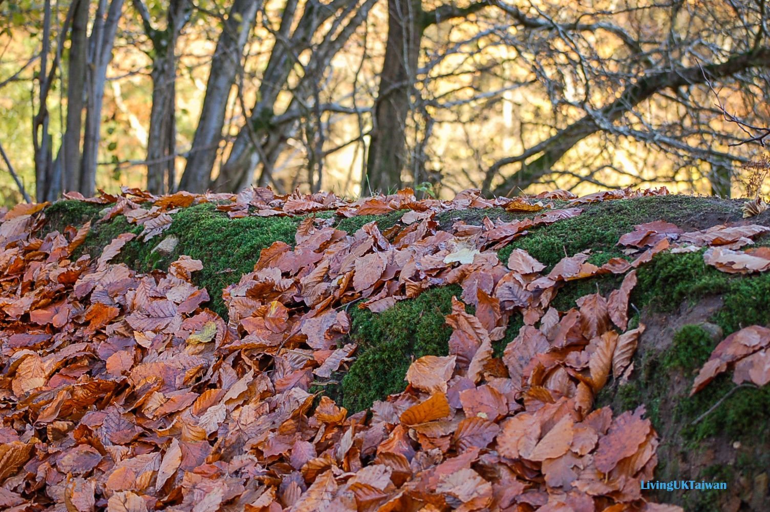
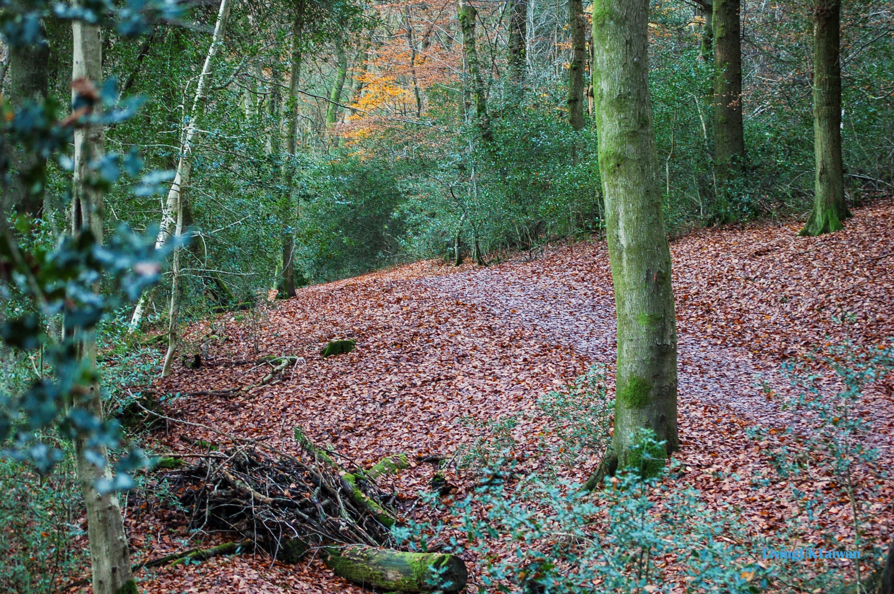
And there were also signs of early winter frost.
我甚至看到有初冬的雪霜落在樹葉上哩。

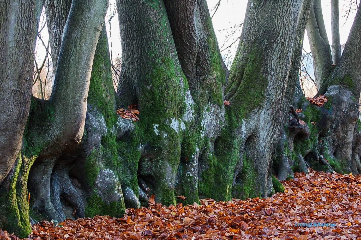
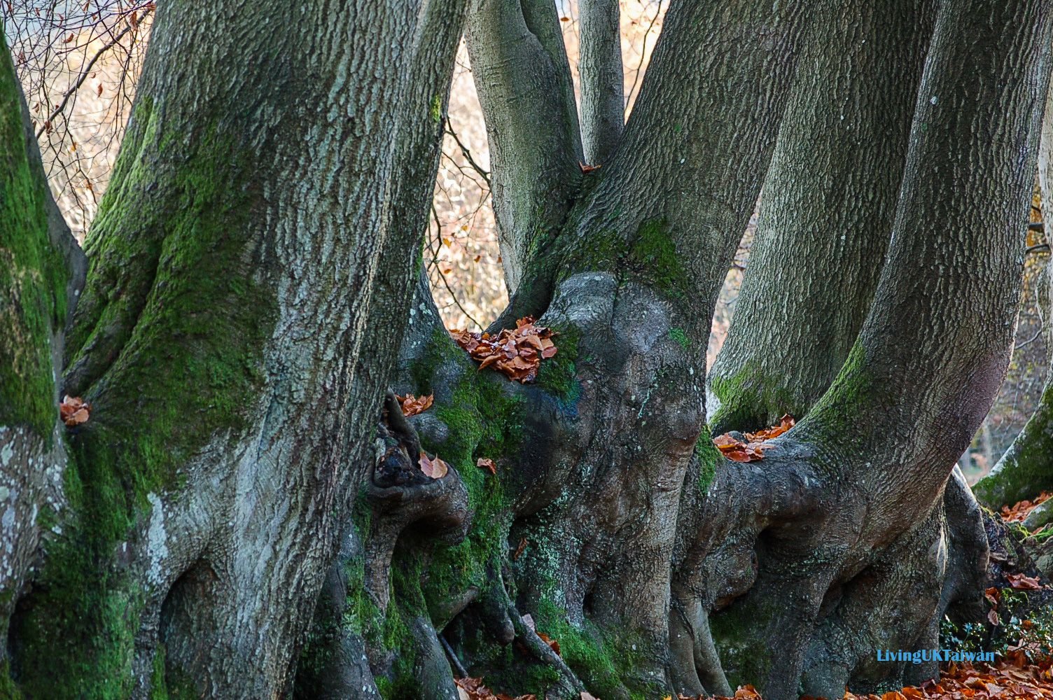
My favourite part of the walk were these trees which I think looks a bit like dinosaurs.
整段步道我最喜歡就是這些老樹。我覺得牠們長長的樹幹,有點像恐龍的頸部伸展出來。
oh! How I miss England and the cold autumn walks!
唉!很懷念在英國秋天去遠足噢。

Check out all my travel posts here or visit Steemit Worldmap

!steemitworldmap 51.114300 lat -0.727973 long d3scr
