Out of all my travels around the world, there are three places that have definitely left a mark on me, Peru is one of them.
我到過世界多個地方旅遊,有三個國家令我留下最深刻印象。兩年前我去的秘魯是其中之一。
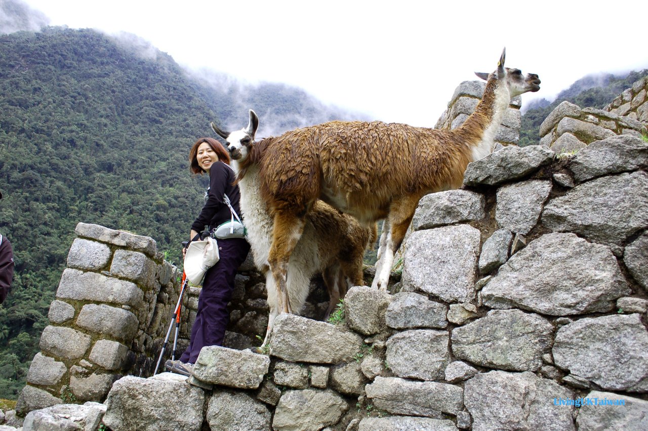
I went two years ago, and if you go to Peru, of course you have to go to see the Machu Picchu. It doesn't matter if you do it the difficult way and hike and camp for four days, or the easy way by train and bus, you have to go! I opted for the middle option, a 2 day 1 night hike for 15 km as I wanted to challenge myself a little and make it more memorable.
如果去秘魯,馬丘比丘當然是必去喔。無論是走艱苦的4天3夜遠足露營,還是較輕鬆的坐火車及公車,我都覺得一定要去。我選擇了中級難度的行程, 2日1夜遠足15公里。我自知體力有限應該沒可能應付4天遠足,但又不想行程太過輕鬆。要挑戰自己才會更珍惜,令旅程更難忘,所以選這個行程最適合不過。
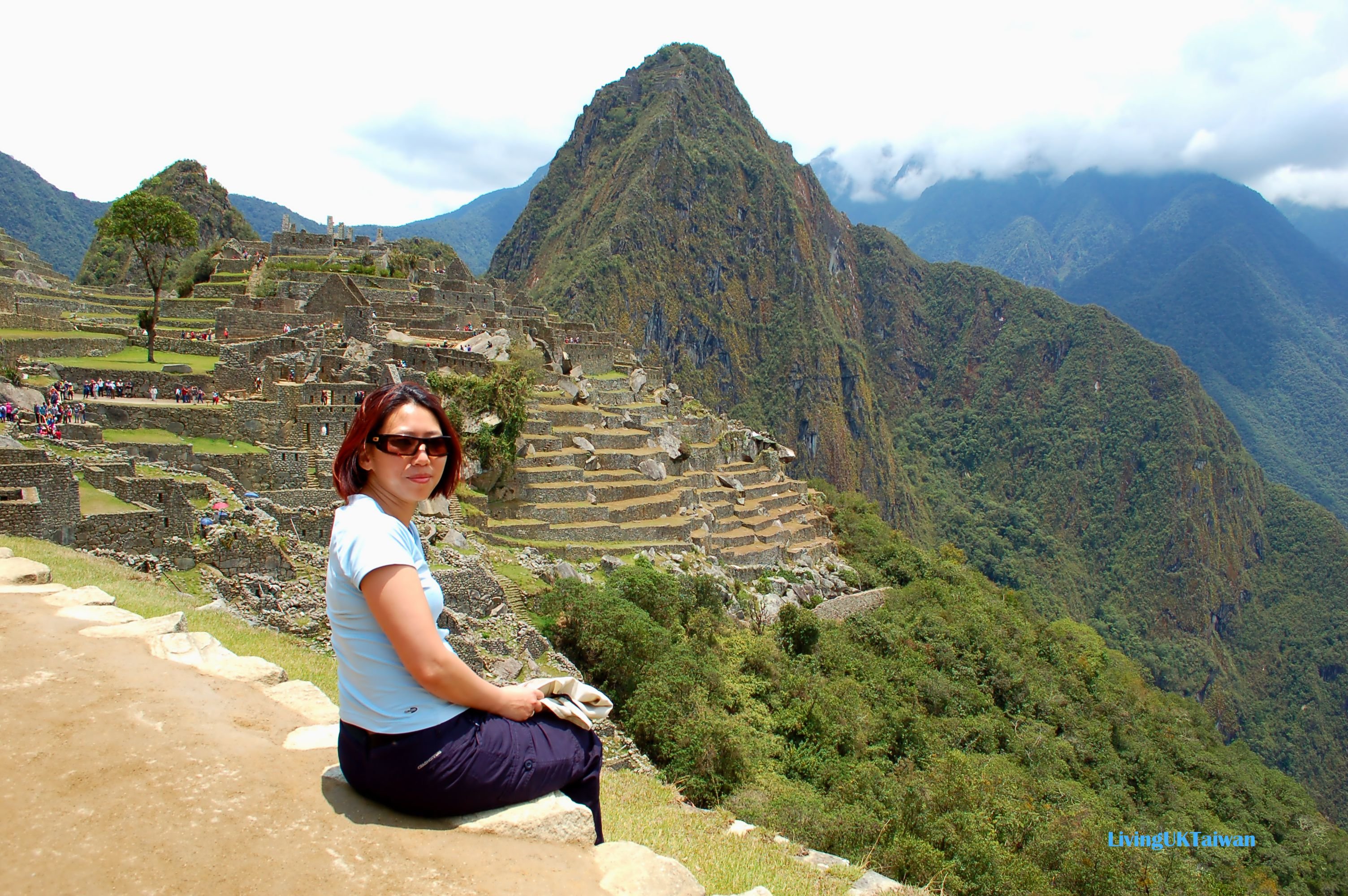
My hike started from Ollaytaytambo where we had been staying for a few days since we arrived at Peru. I figured it was better that way so I could get used to the altitude first. Our guide picked us up at around 6am in the morning to the station for a short train ride to the starting point of our hike.
我抵達秘魯後,先在Ollaytaytambo待了幾天適應較高的海拔,所以馬丘比丘行程在這裡開始。出發那天,導遊一早6點多到旅館接我們去到火車站。
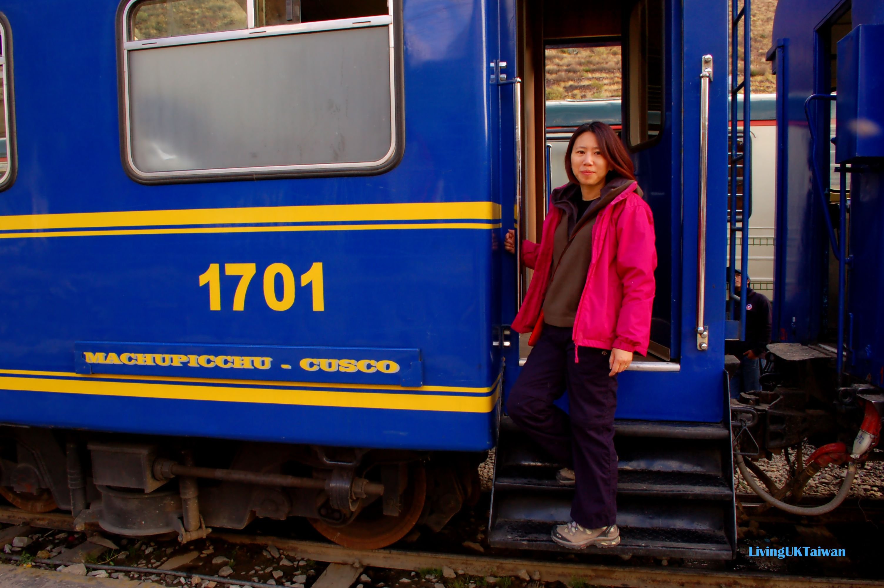
There are separate train carriages for tourists and the locals like our guide and porters, so our guide told us to look out for a sign that says KM 104 by the side of the track and get off when the train stops. Here is the 'station', and the beginning of our trek to Macchu Picchu. The time is 7.30 in the morning.
火車分遊客及本地人車廂,所以我們要跟導遊分開坐。他吩咐我們要留意火車停在一個KM 104的大標誌前就要下車,因為這裏沒有正式的火車站。這裡就是我們下車的地點,挑戰馬丘比丘從這裡開始。當時是早上7點30分。
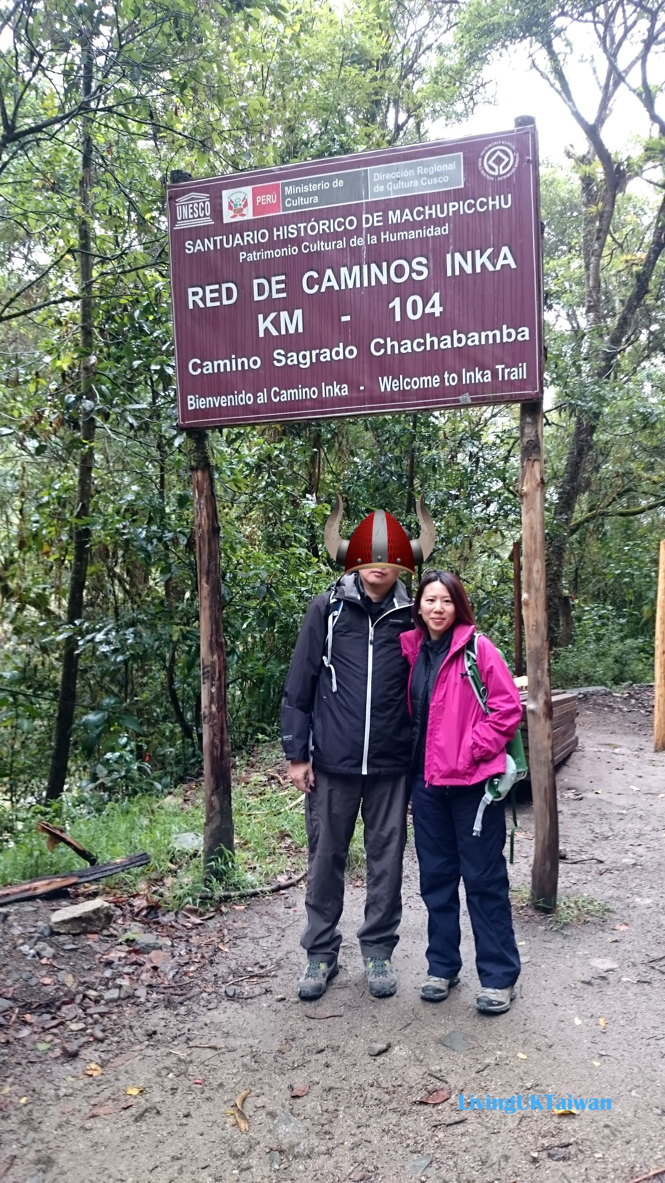
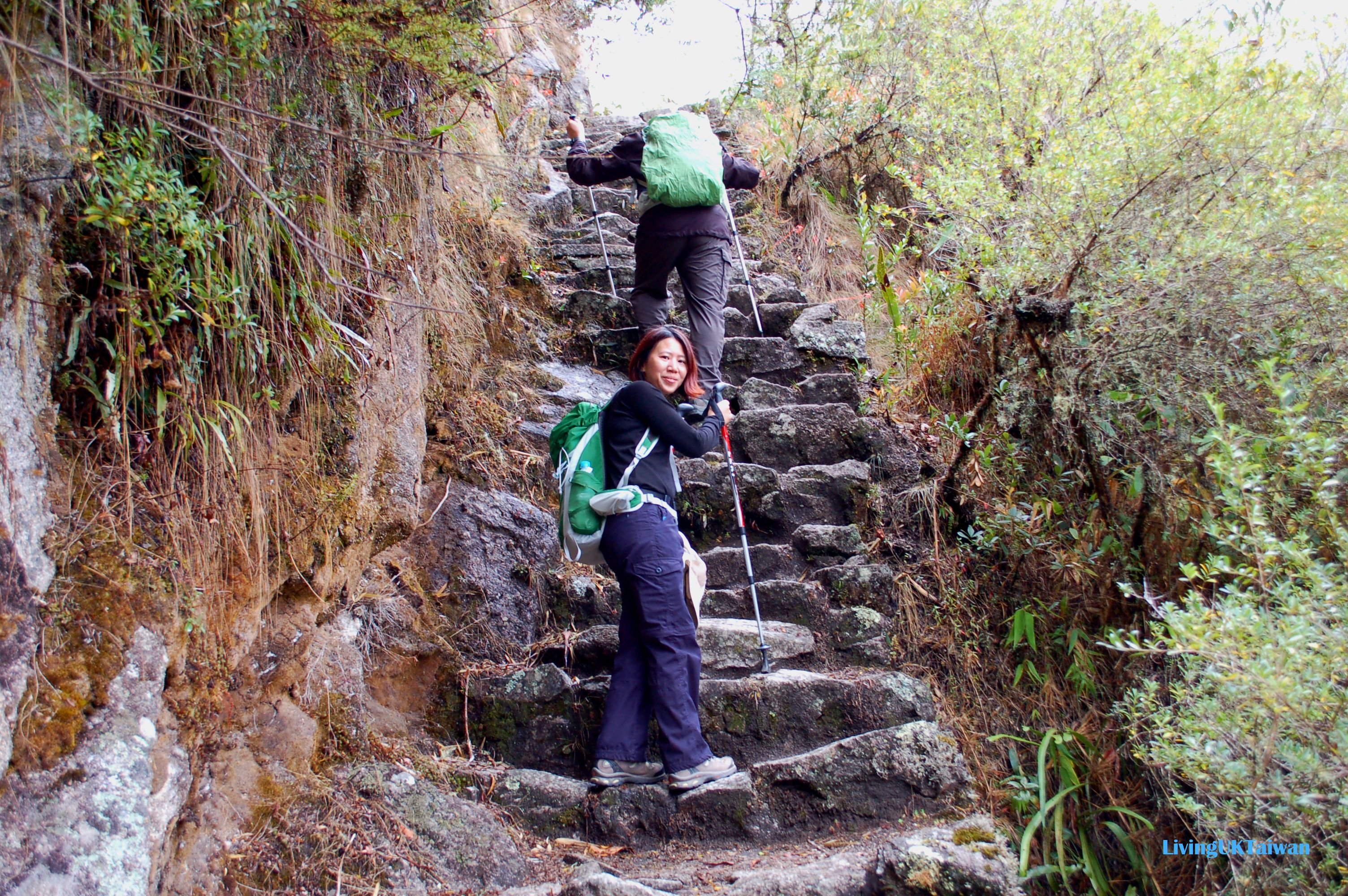
By now our guide and us had been trekking for an hour. Our starting point was down by the river behind the mountain on the left. Although it was October it was still quite cool, and by the time we've ascended up here we were so hot that we'd removed all our outer gear.
這個時候導遊和我們已經走了一個多小時。 而我們的起點是在照片中左邊那座山背後的河邊。 當時是10月底,還有點涼意,但我們走到這一個高度時已覺得很熱,需要把外衣脫下。
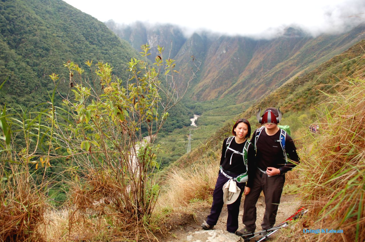
It's actually quite high up here, I guess around 2500m ASL and you can get an idea of how high we are from the clouds and the pylon on the right further down. The path that we're walking along doesn't look too bad and is quite wide, but if you look down it can be quite scary!
這裡大概是海拔2500米高,從雲層中及河畔的電纜塔可以大概看到我們的位置有多高。這段路的步道也蠻寬闊很好走,只要不往下看就可以。如果不小心滾下去,我相信 …
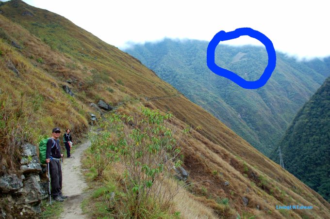
Our destination for lunch is a bit further on at Winay Wayna. This is the grey blob of concrete you see in the blue circle in the photo above. Winya Wayna means 'forever young' in Quechua, the indigenous language spoken by the people living in the Andes.
午餐地點是對面山 Winay Wayna附近,就是上面相片中藍色圈圈內灰色的地方。 Winya Wayna 在安第斯土語是'永遠青春'的意思。
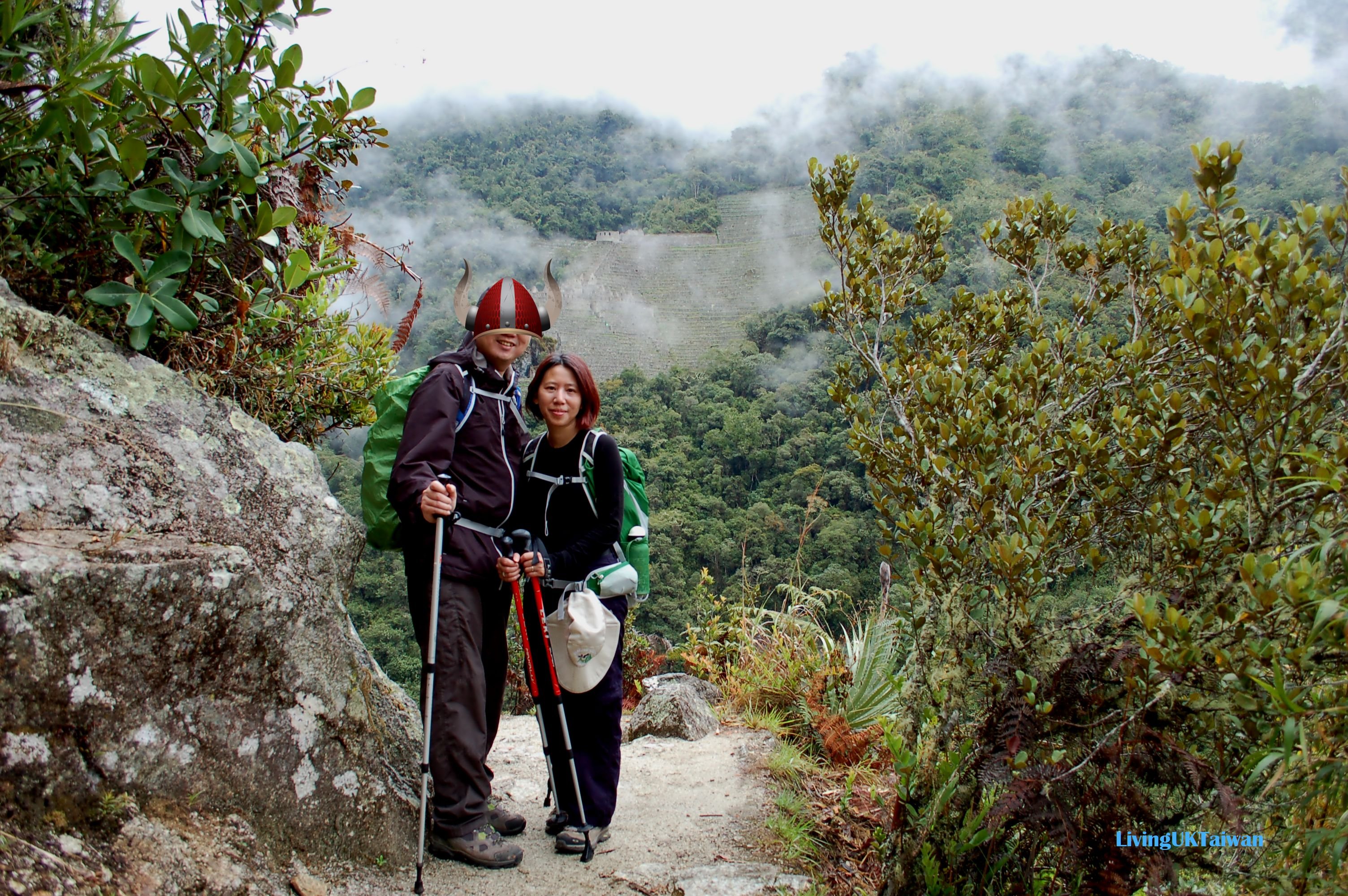
Here is a full view of Winya Wayna. You can't really seen how impressive it is from this photo as its difficult to put it into perspective with anything, but one thing for sure its high up in the mountains amongst the clouds. The other thing is, the fact its built in the middle of nowhere and how they built it on such a steep slope is in itself a massive achievement and mystery.
從這照片可以看到整個 Winya Wayna,但因為沒有對比較難看到它是如何真正的宏觀。唯一可以肯定是它位置很高,幾百年前如何在荒山野嶺建一座如此壯觀的社區,真是令人摸不著頭腦。
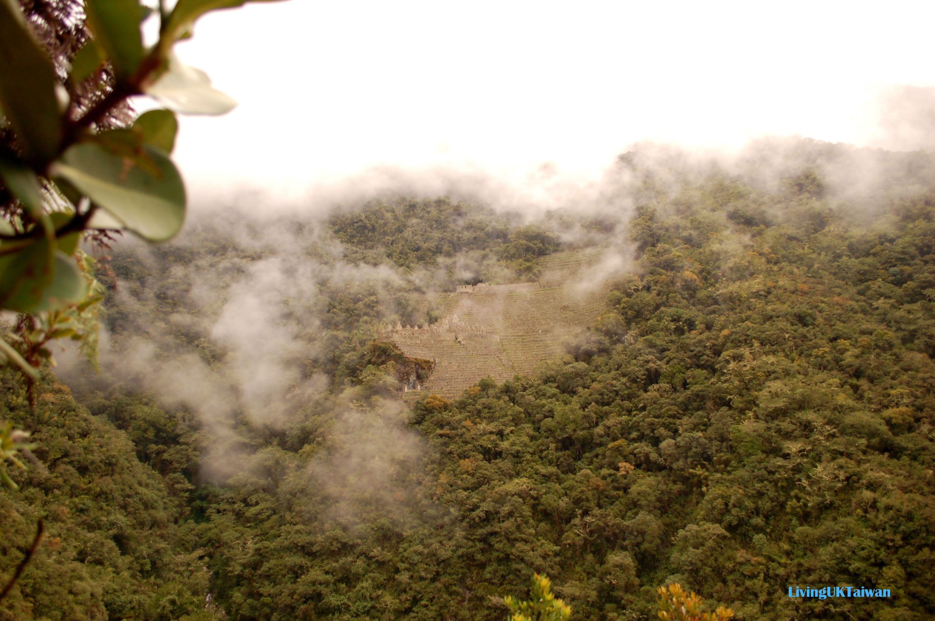
After a bit more climbing, we finally arrive at Winya Wayna forty minutes later.
我們繼續攀爬,40分鐘後終於到達Winya Wayna.
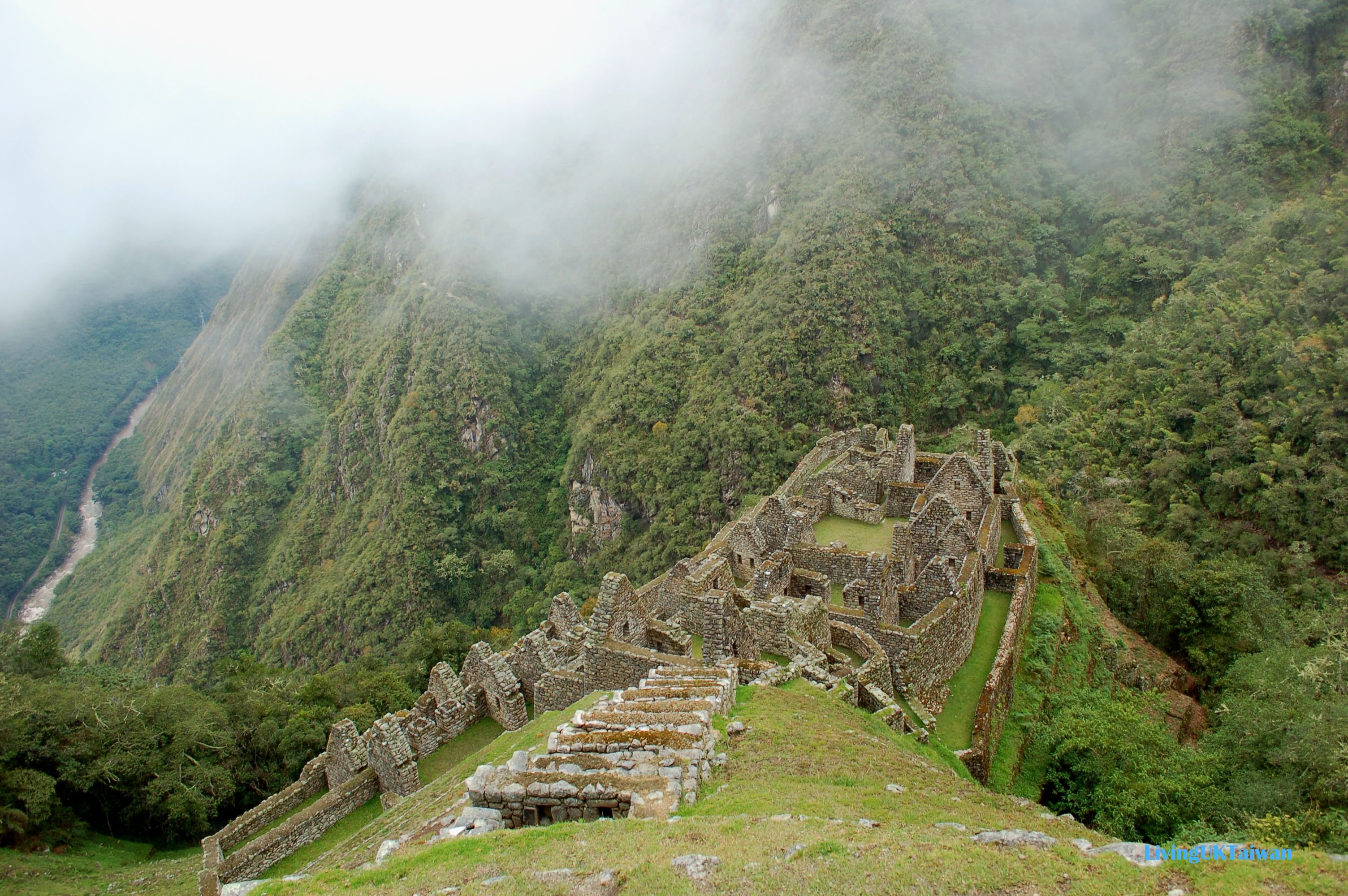
Next time I'm going to continue my Machu Picchu trek and take you through Winya Wayna. In the meanwhile, here's a teaser of the site!
下一次我將會繼續我馬丘比丘之旅和帶大家到15世紀已建成的Winya Wayna。今天先分享一張照!
Check out all my travel posts here or visit Steemit Worldmap

