I wouldn't have believed it was possible if I hadn't just done it, but using a basic app called Maps Made Easy and a DJI drone I was able to create a 3D map of a relatively large land mass following a road up the side of a hill in Sulawesi, Indonesia.
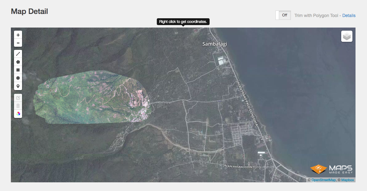
You can see above the highlighted area I covered with my drone. After flying up and down in lines, taking hundreds of photos.
This gives the developers much better resolution than Google Earth and also gives them a very accurate picture of the land they intend to build upon.
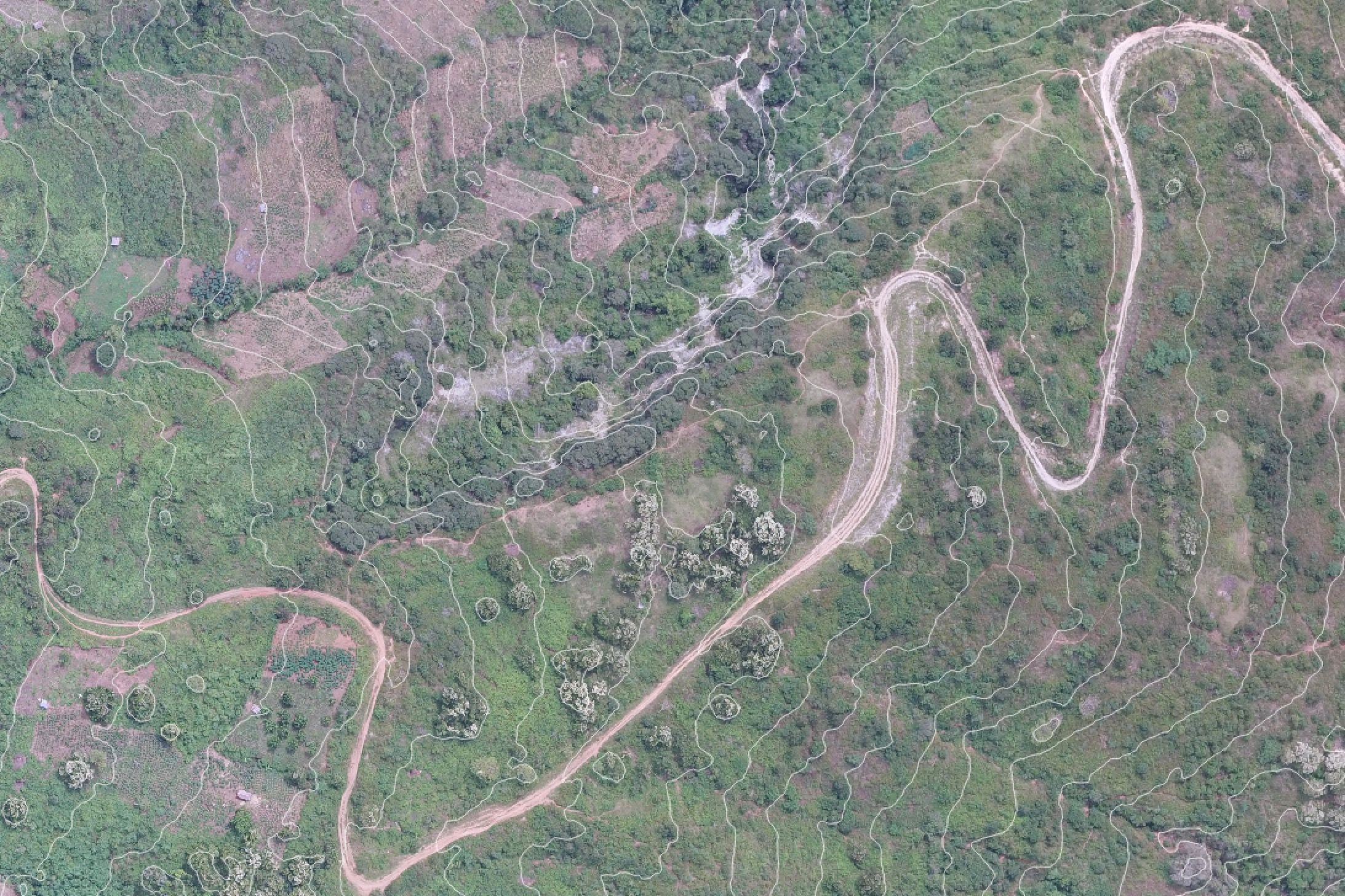
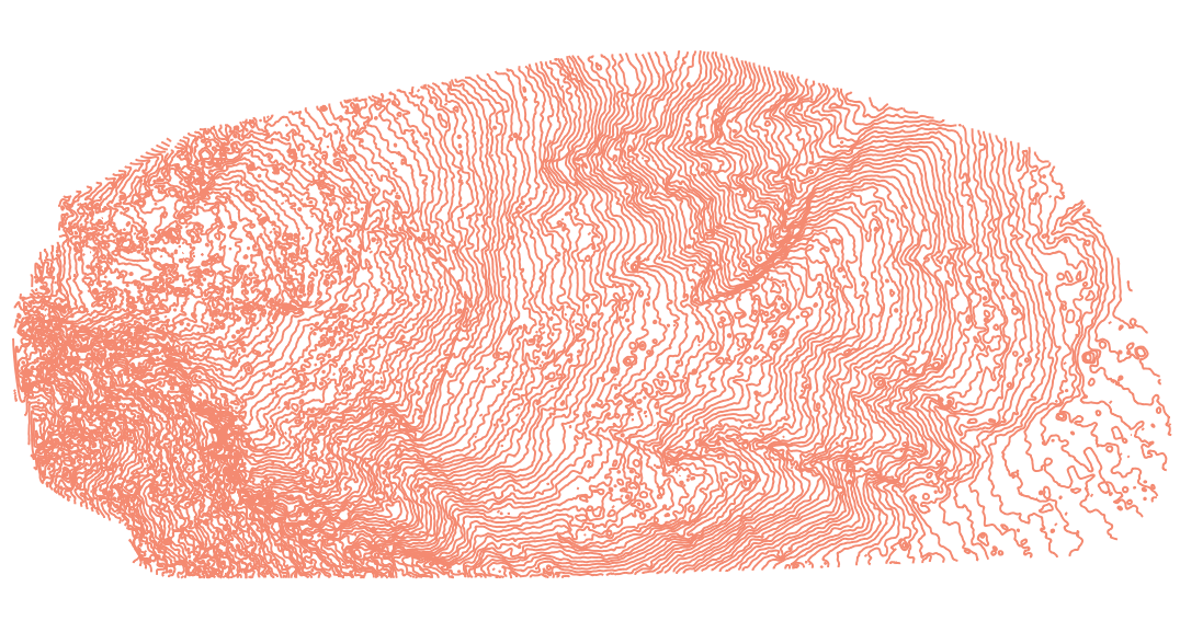
Here are two close up shots showing the contour lines I was able to create today (on my latest new software) at 10 Meter intervals. I can choose any number of meters between intervals.
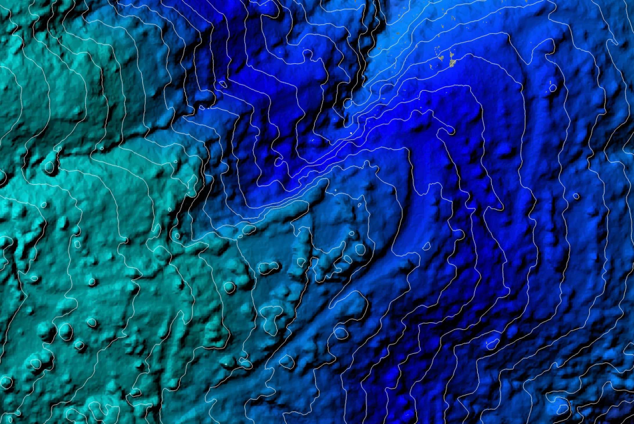
The colour gradient contour map (which is the same area as the image above) helps us see clearly the steep drop off to the side of the road. Unlike the photo contour map.
Here you can see the full mapped area with 5 meter contour lines and no background. There are loads of options to play with in this program.
I was also able to create a 3D map which opens in Photoshop. I can rotate and zoom in & out of this map retaining a high resolution.

So...today I delivered the full 3D map with all its contour line options to the client and he was very happy indeed. Which is great!
And now I have another skill.
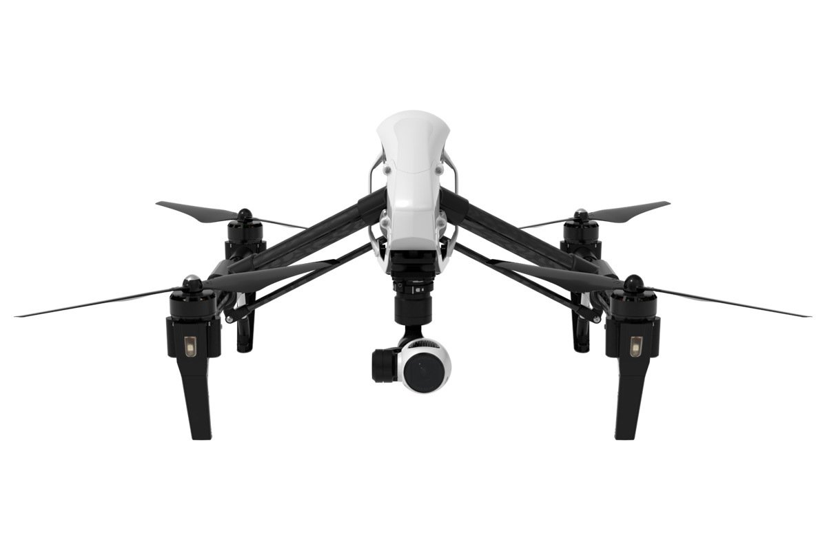
This my friends is the beautiful DJI Inspire 1 drone which help me achieve my latest goal. A wonderful piece of equipment. I won't be crashing it again!
So.... Happy days!
And by the way, I learned how to do all of this by watching a bunch of YouTube tutorials the night before the shoot :)