Hello Steemians!
This is my hiking trip to Gradiska tura in the beautiful Vipava Valley
GPS coordinates: 45.832297, 13.970975
Country: Slovenia
Difficulty: Very hard (via ferrata)
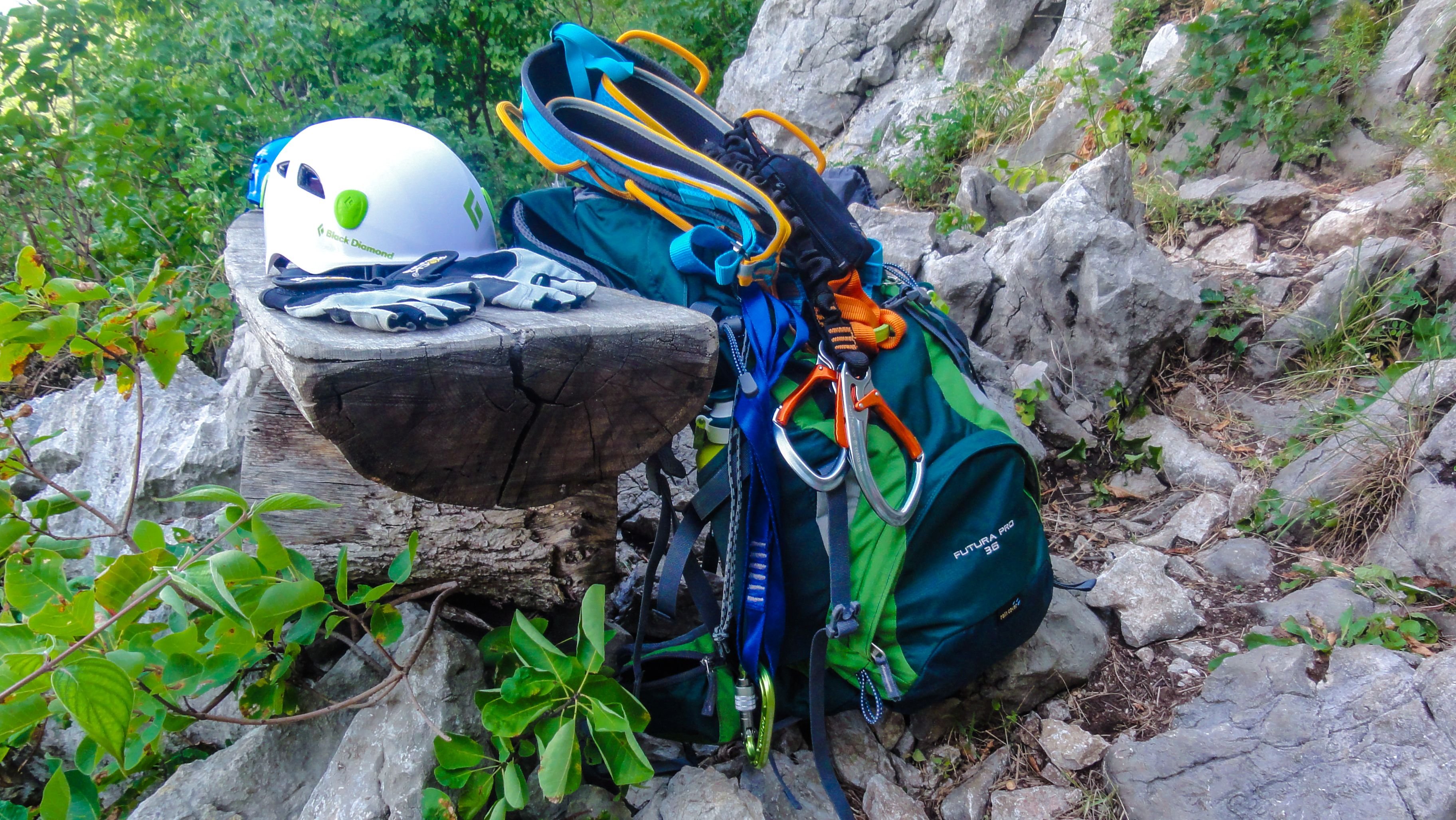
Equipment: Hiking/mountaineering boots, climbing helmet, climbing harness, via ferrata set, climbing gloves
Gradiska tura (793m) is one of the peaks of the plateau called Nanos. It is located in the south western part of Slovenia.
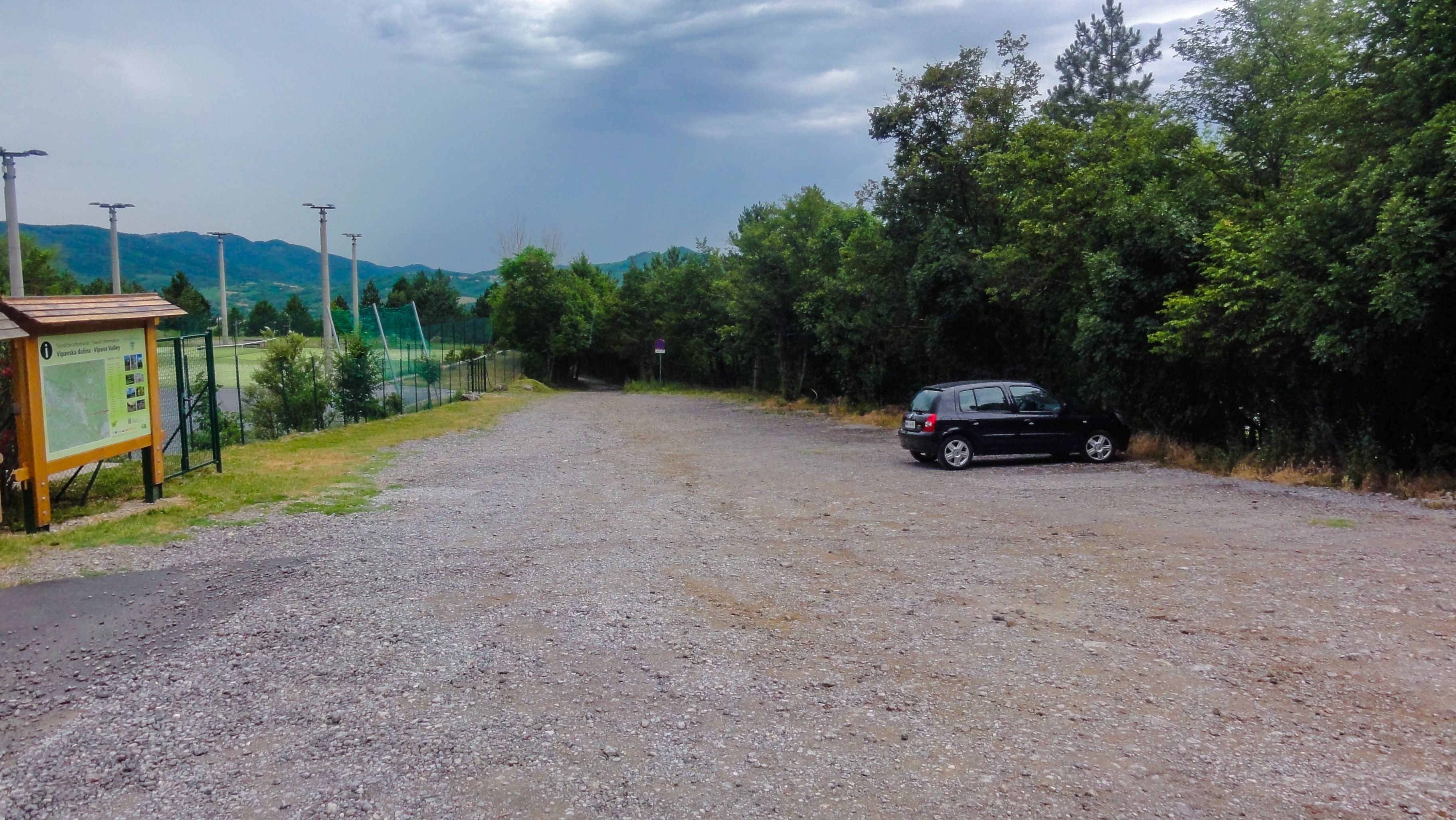
The starting point for this trip is on a parking place near a small climbing campsite Kamp Tura.
Close to the parking place you will see a sign with all the routes in the area. A lot of them (green color) are pure climbing.
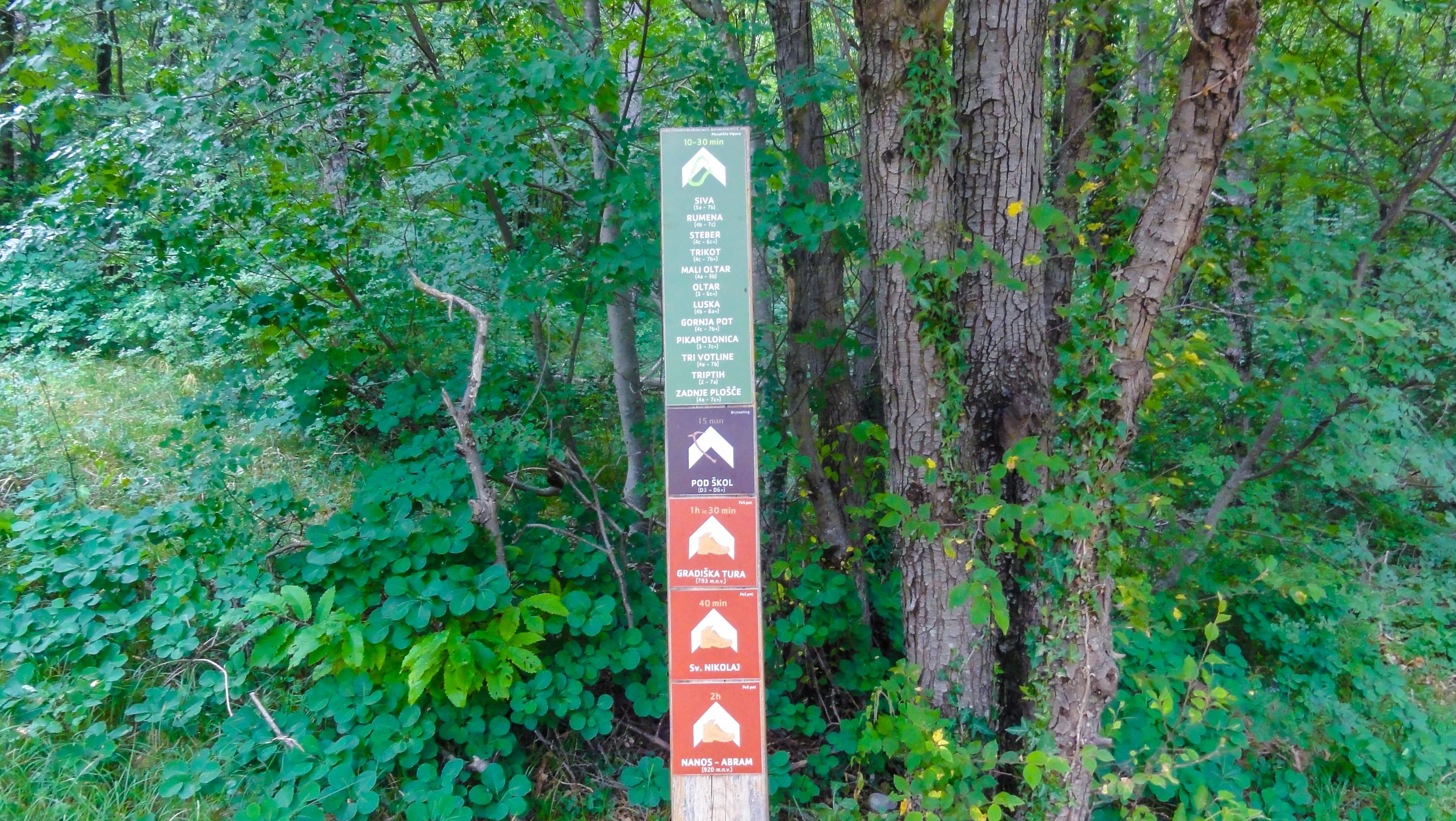
Remember to always follow this path
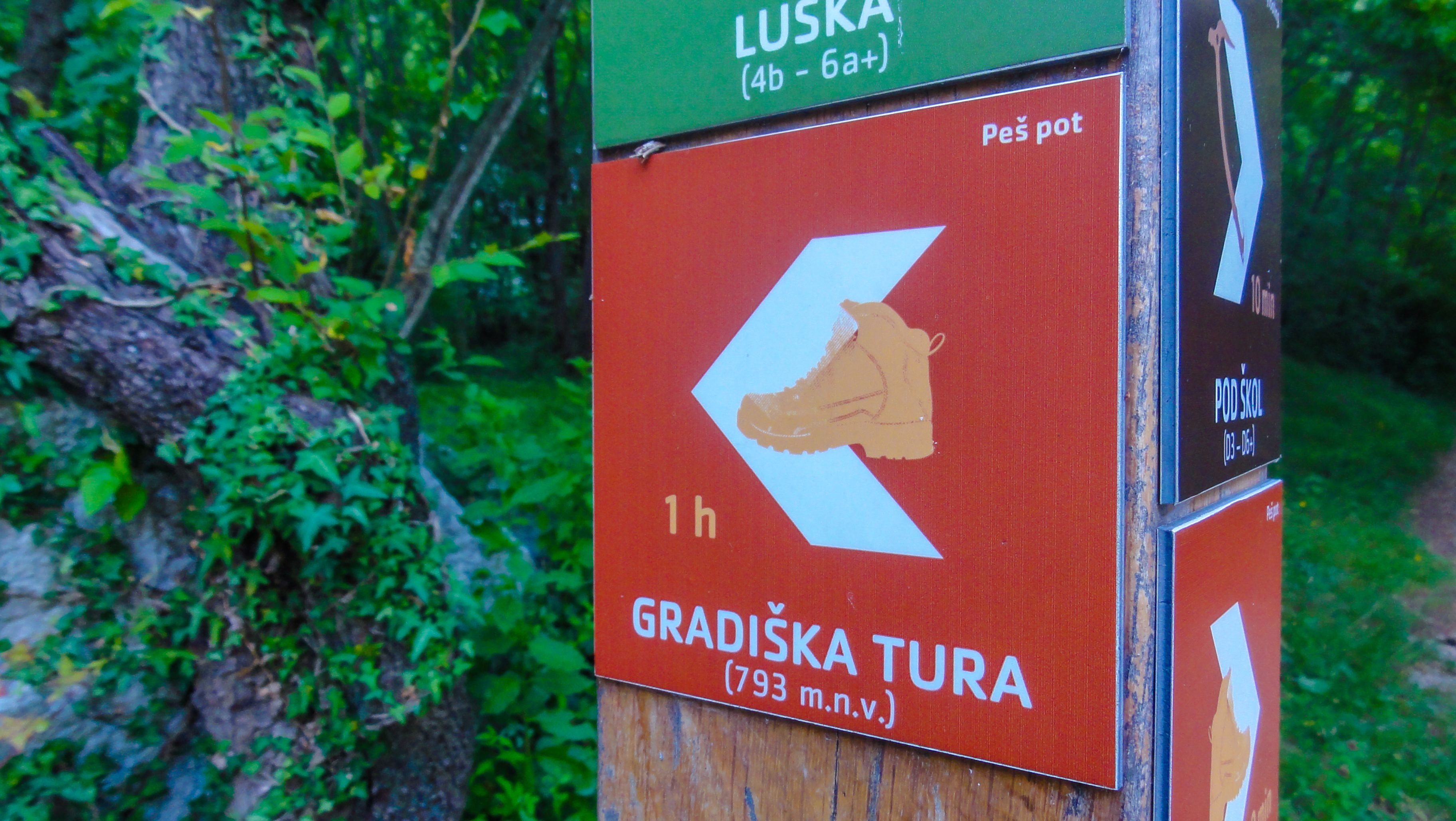
Until you get to the sign that splits to left and right. There you have to turn left to take the climbing route or continue right if you would like to take the normal route. 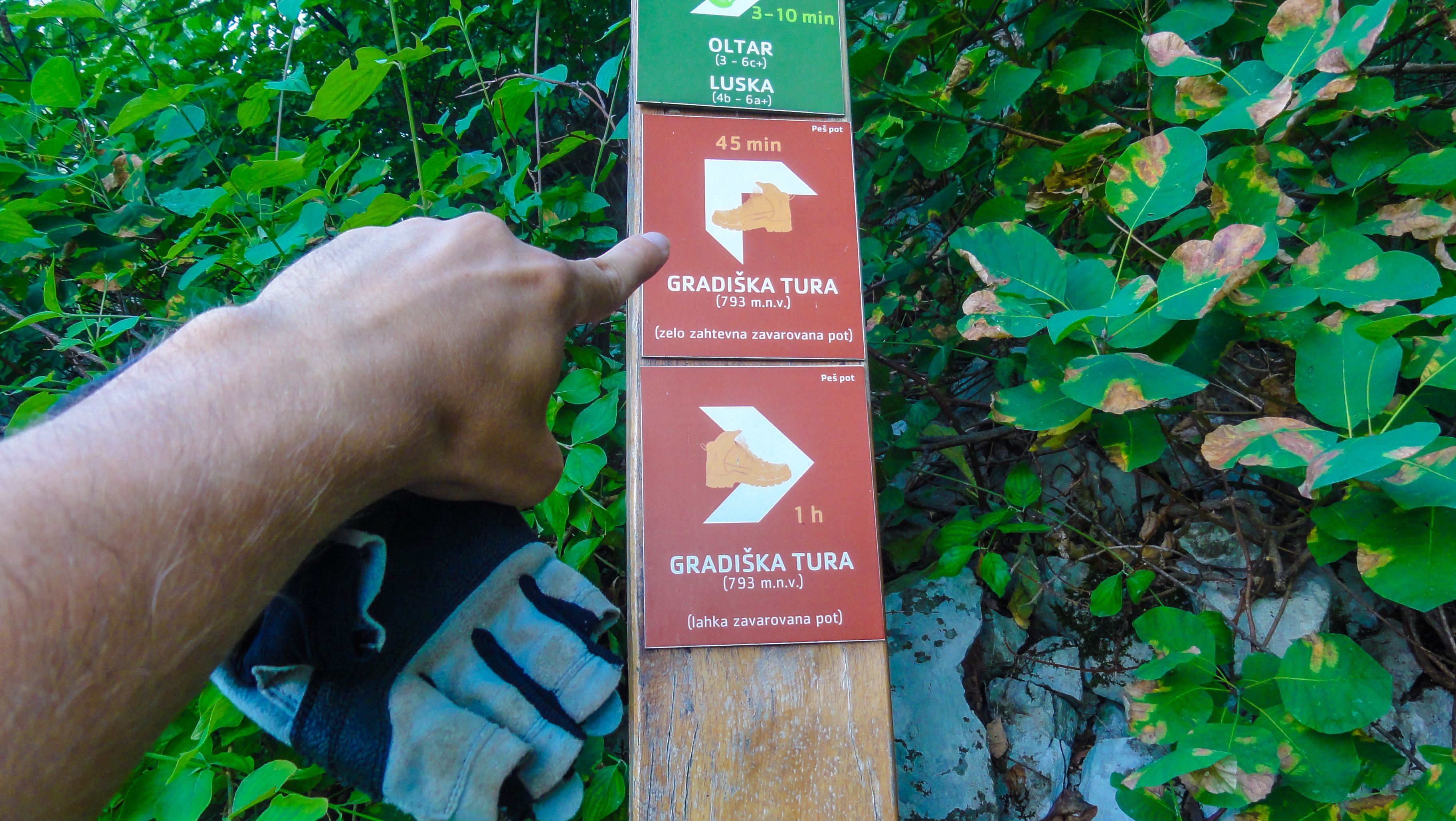
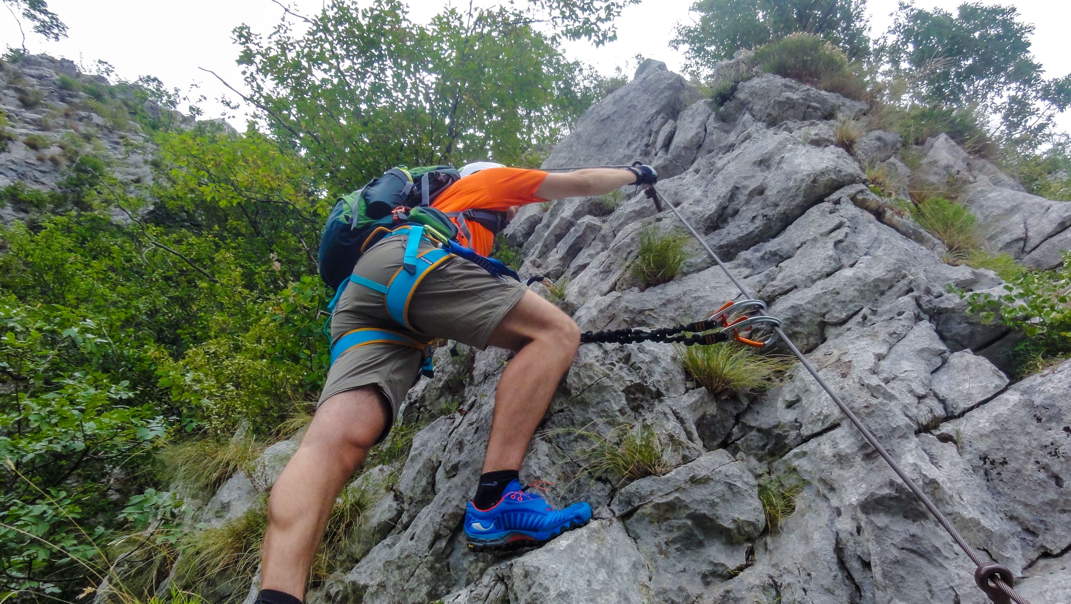
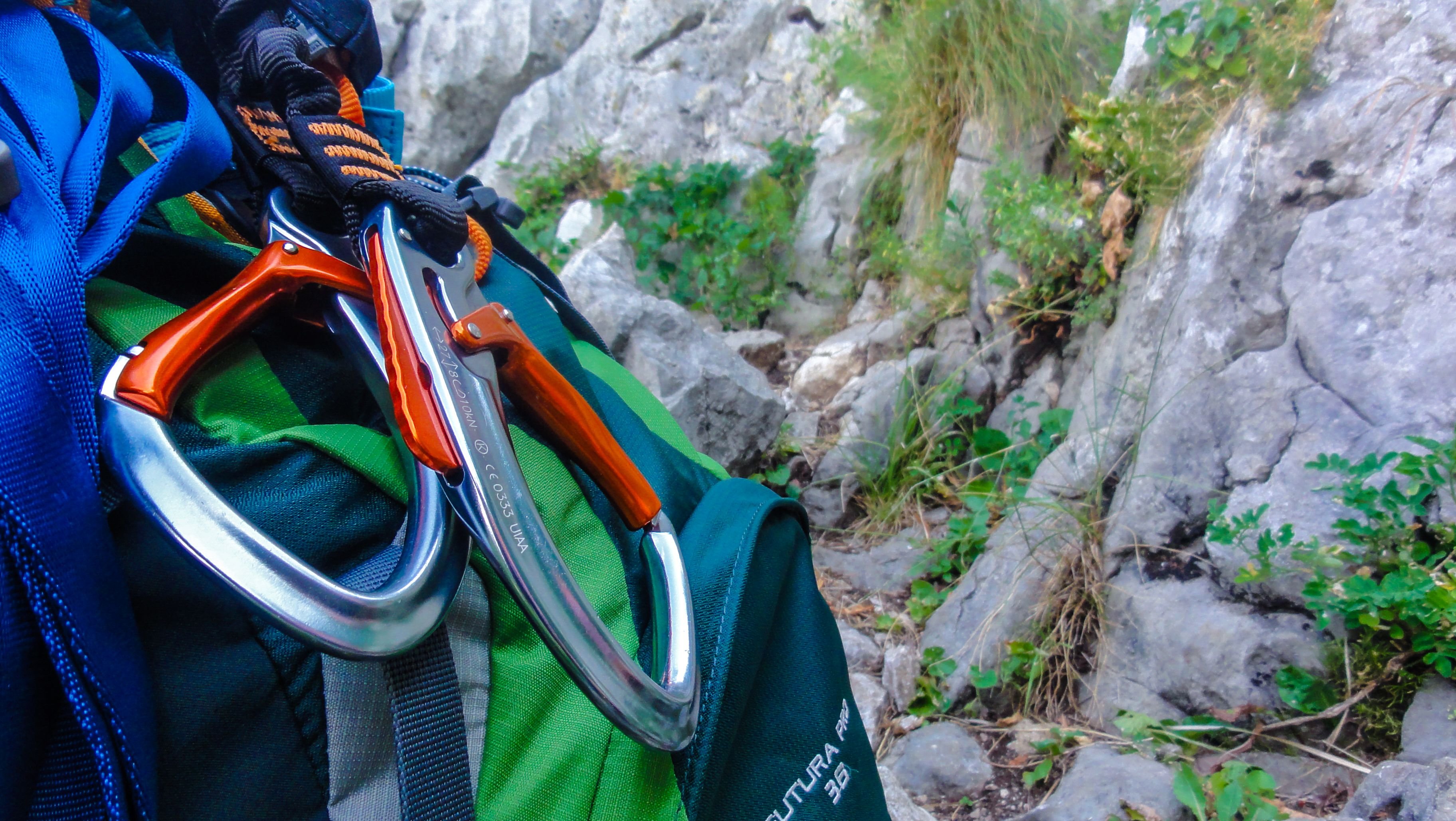
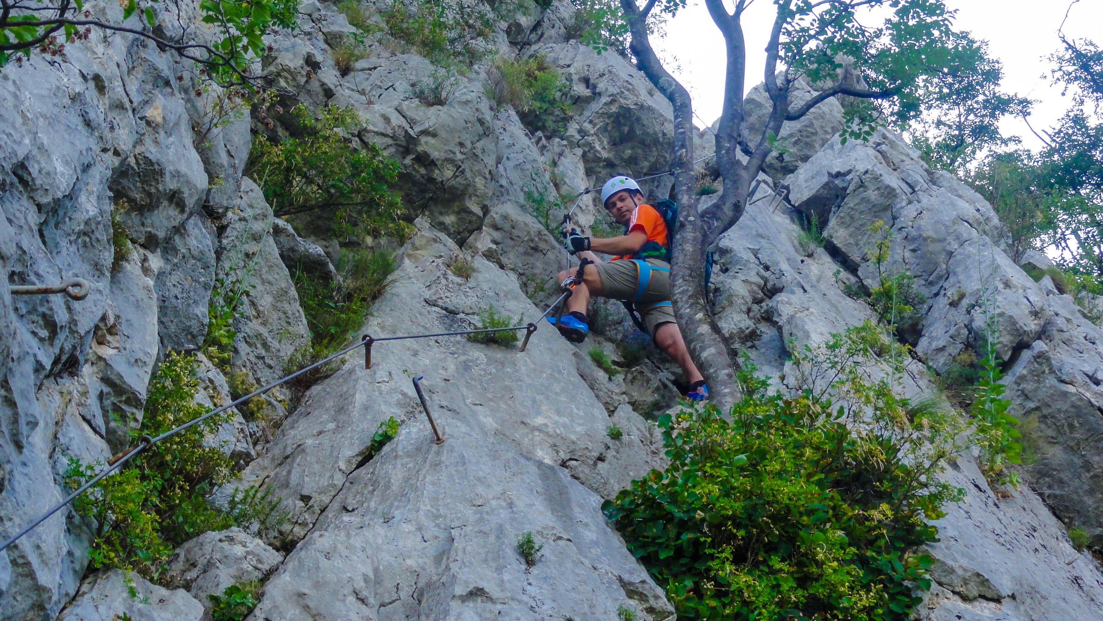
Soon the terrain becomes more difficult and the climbing part begins so we put on our climbing gear
And start climbing :)
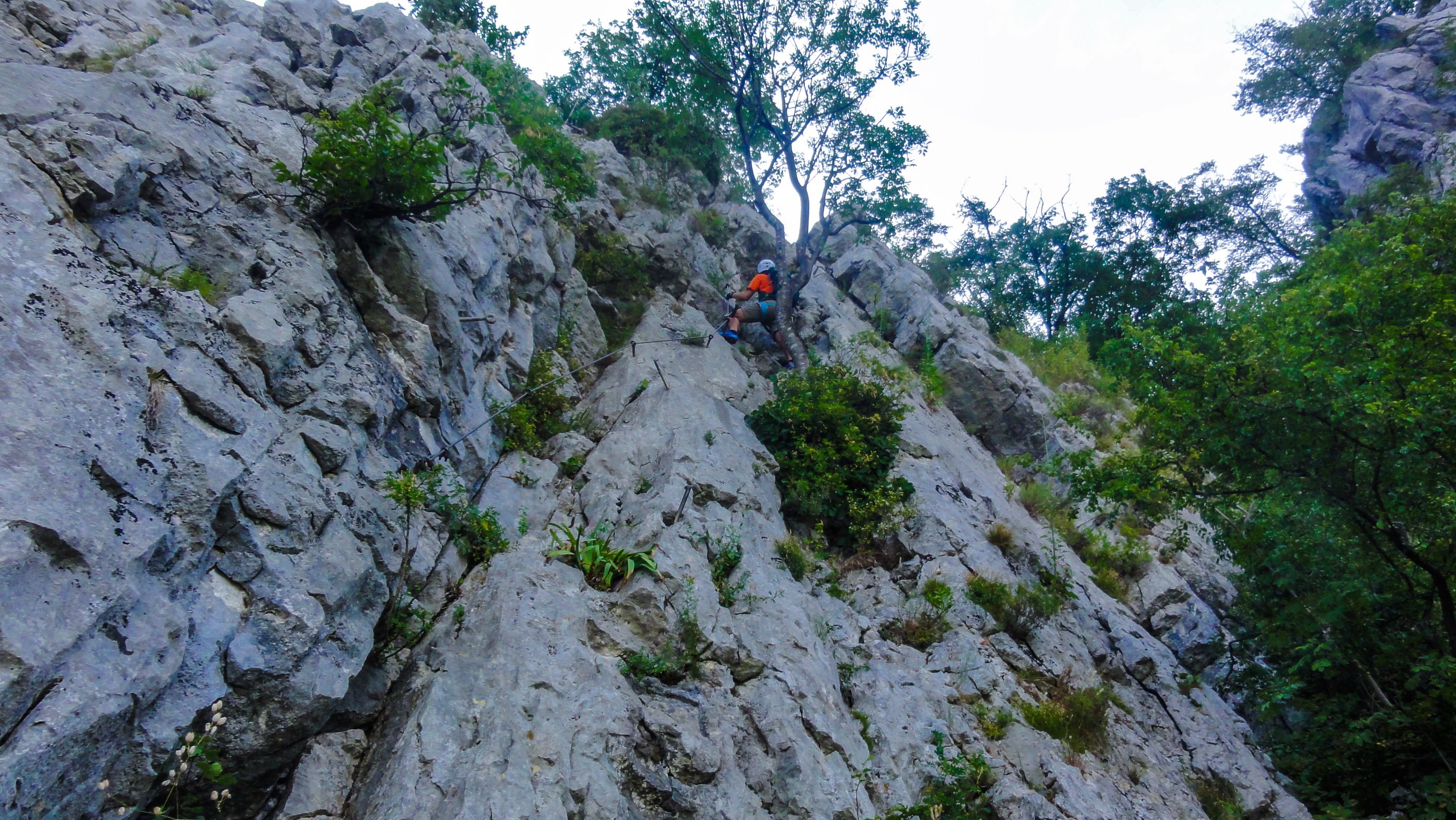
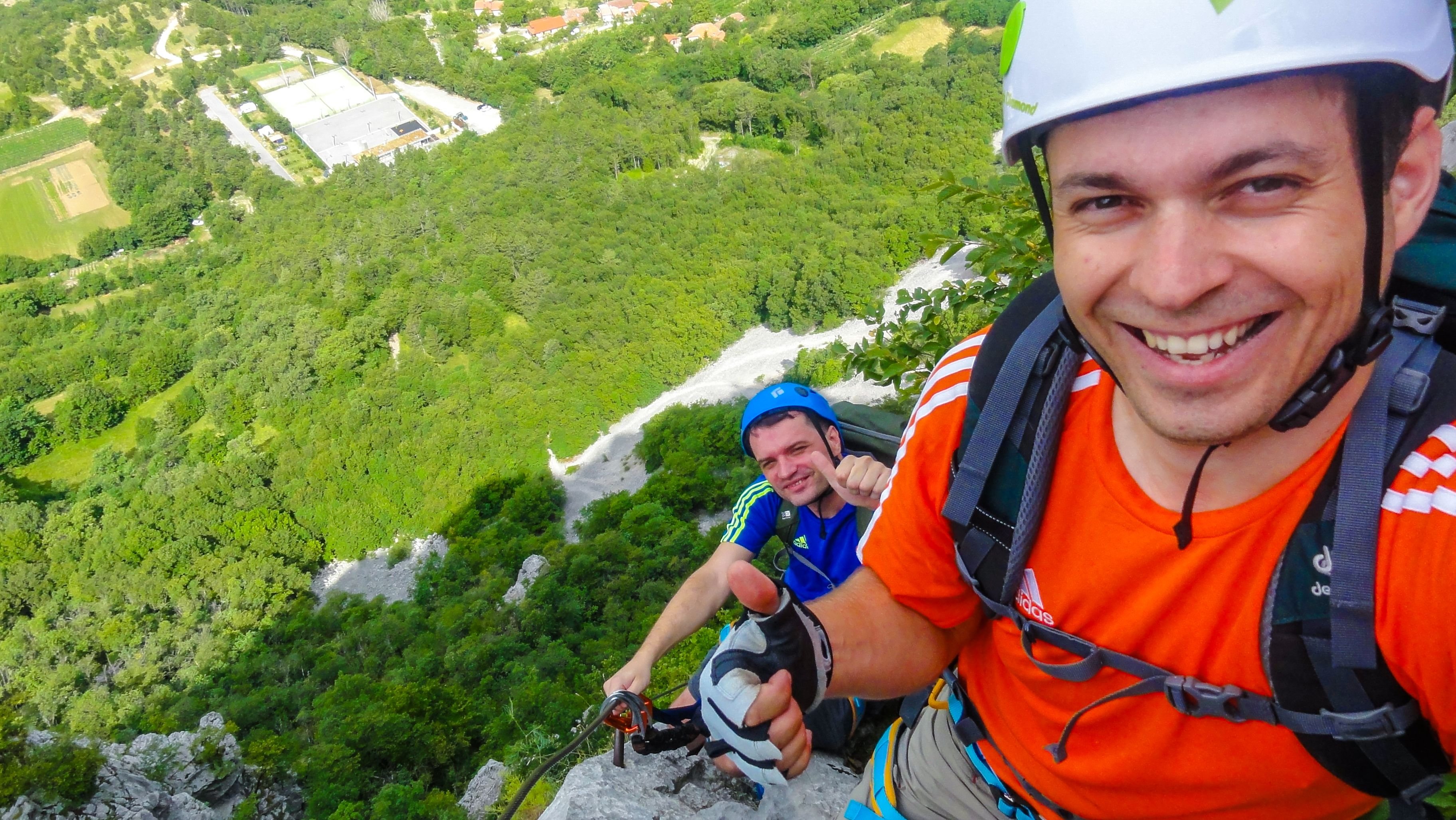
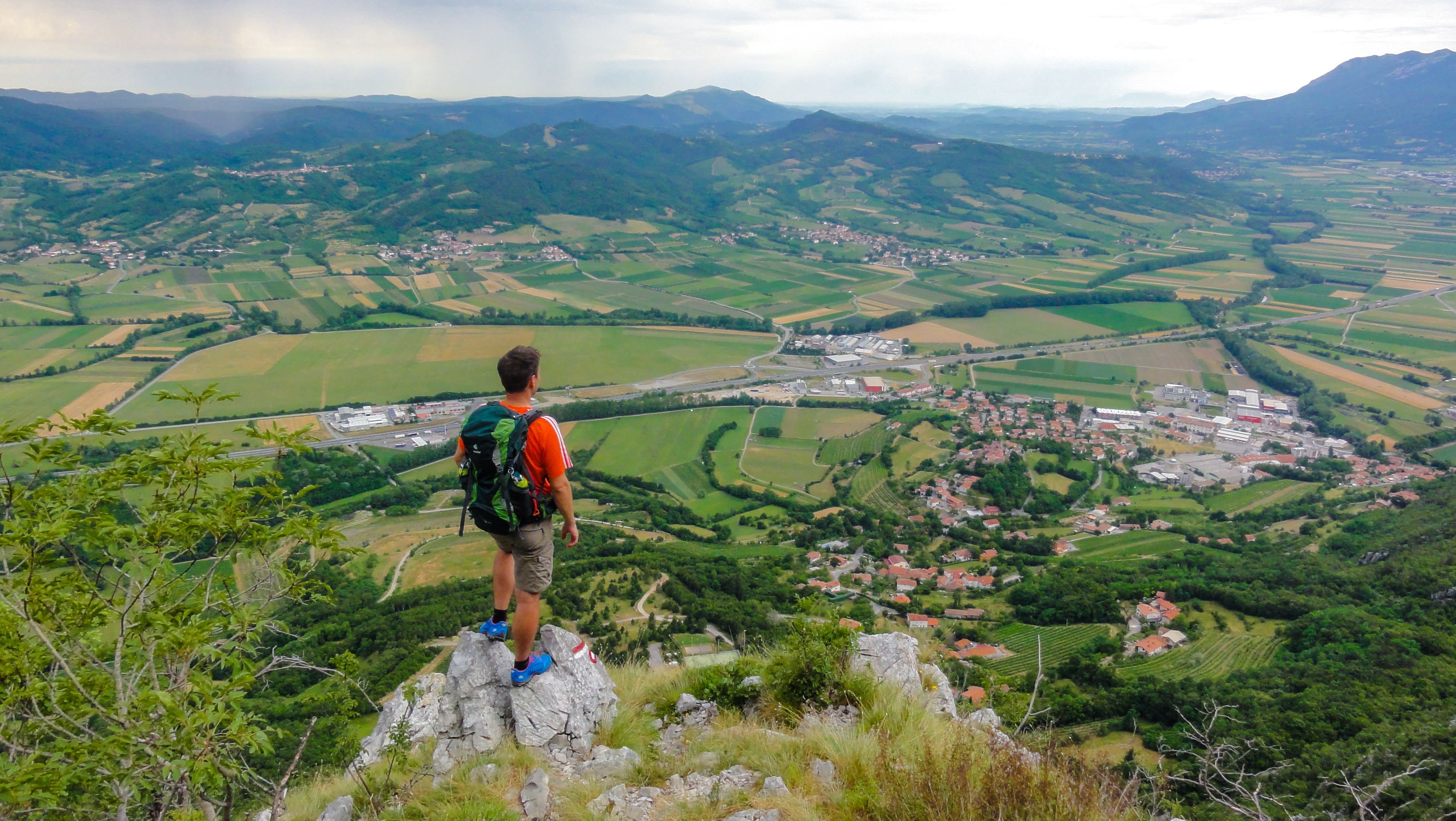
View on the path that we've just climbed
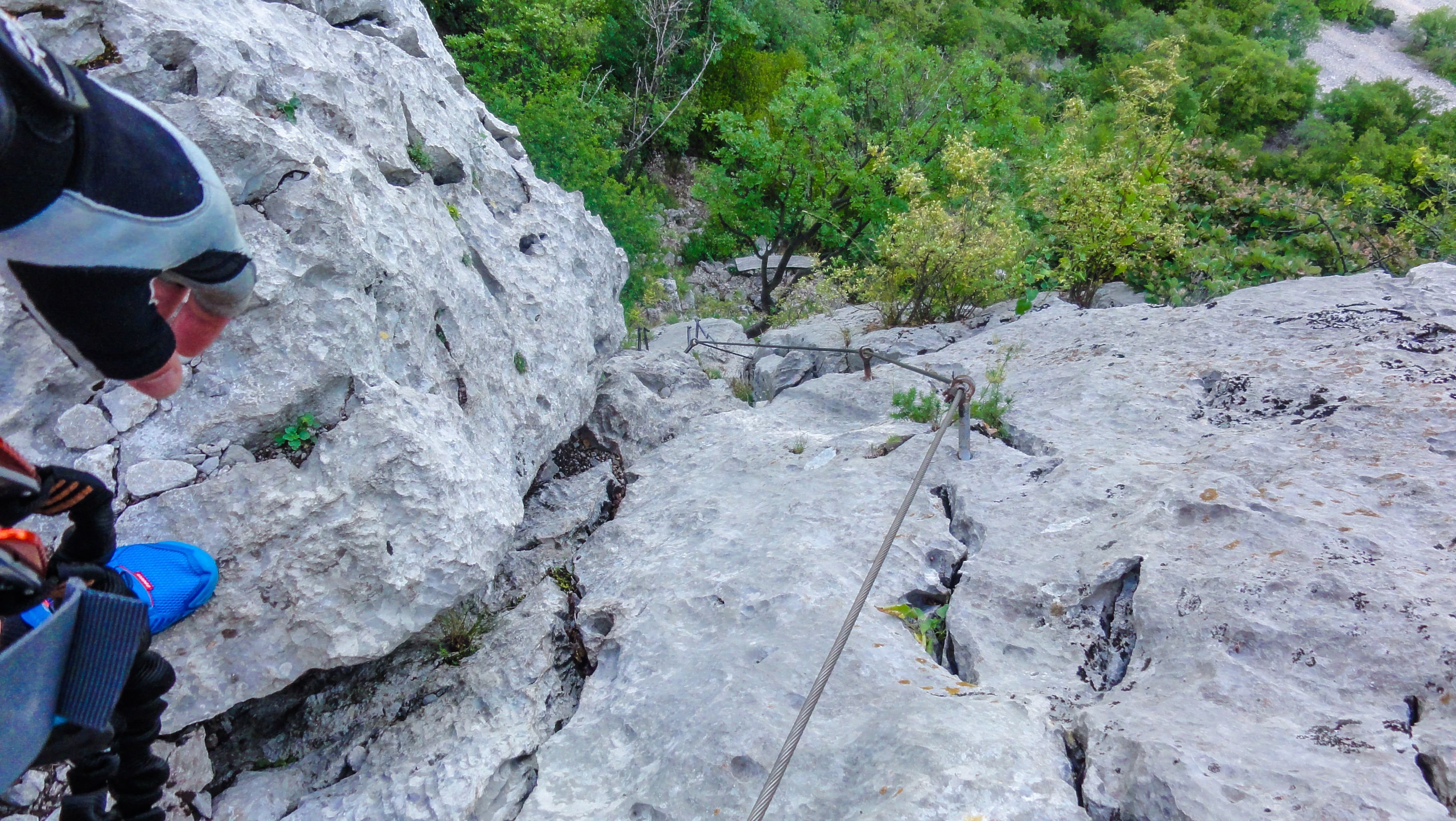
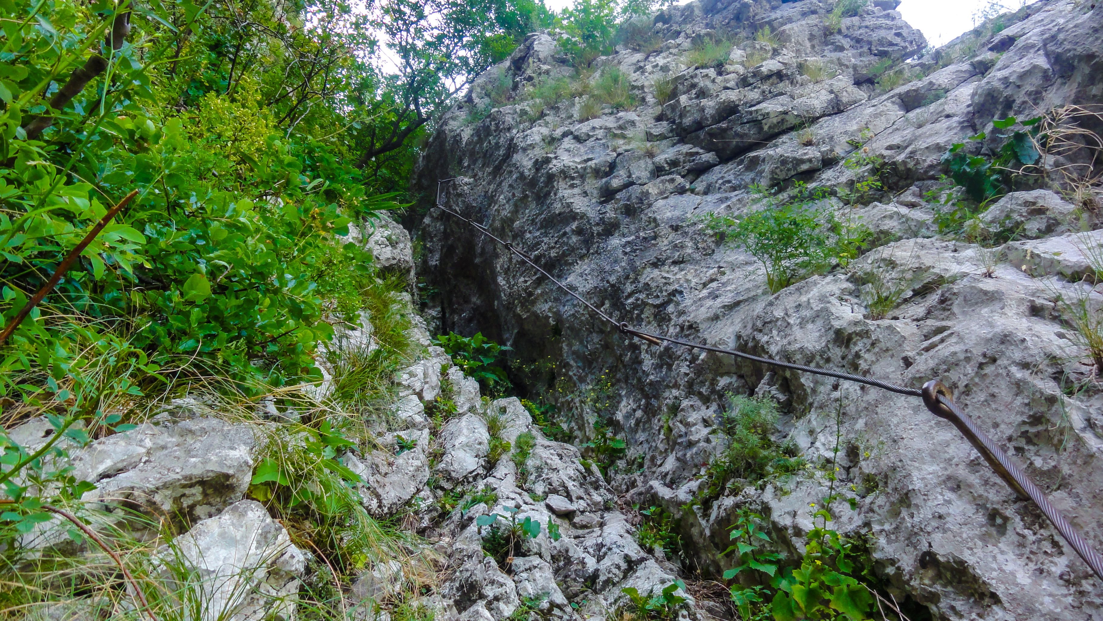
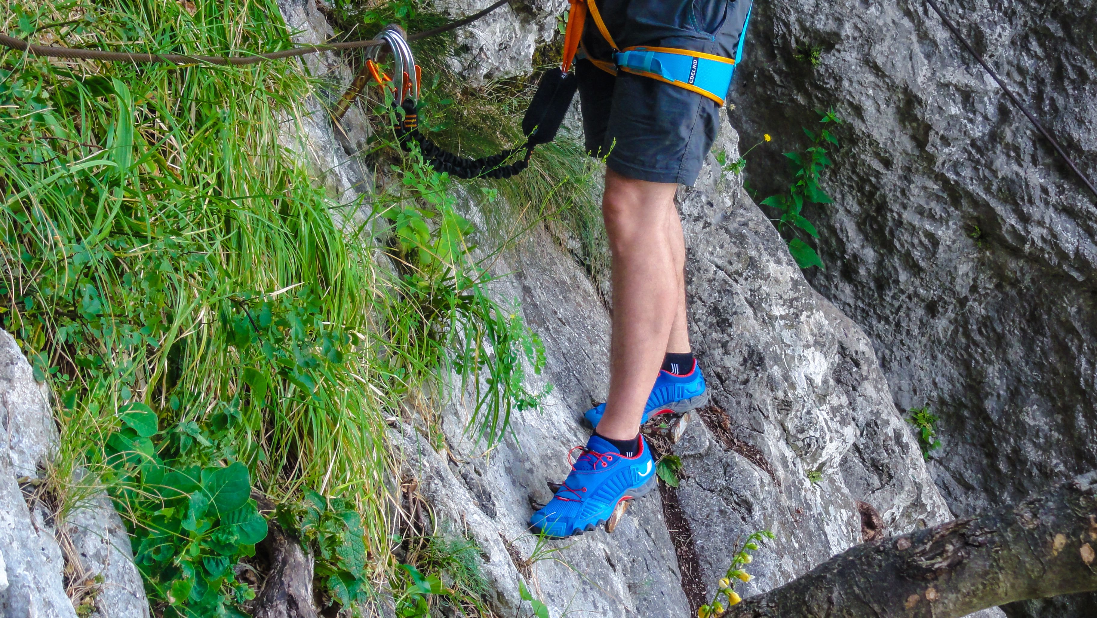
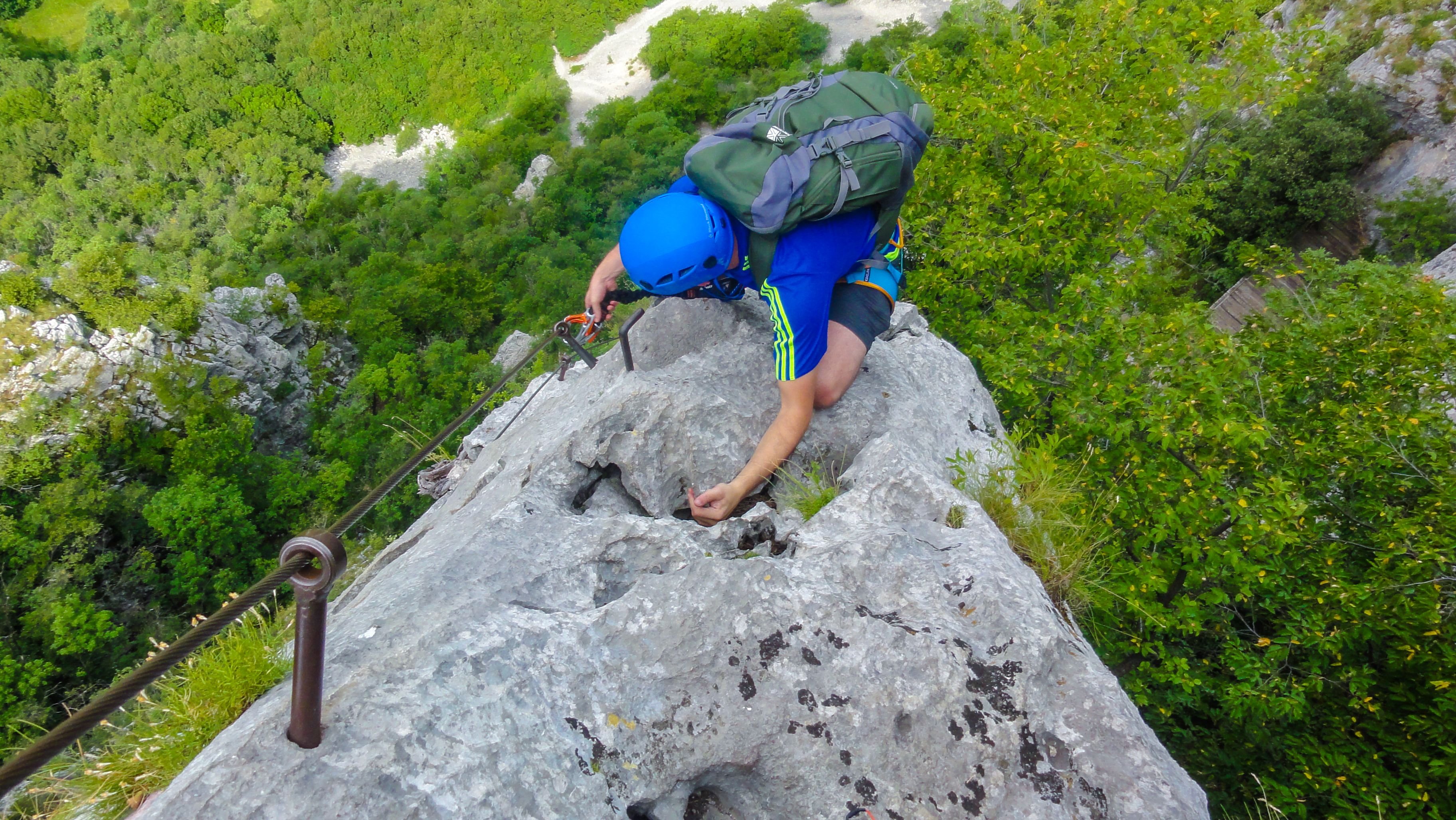
Just follow the steel cables
Soon you get to the most exposed part of the route, and if you are afraid of heights like i am it can be quite scary!

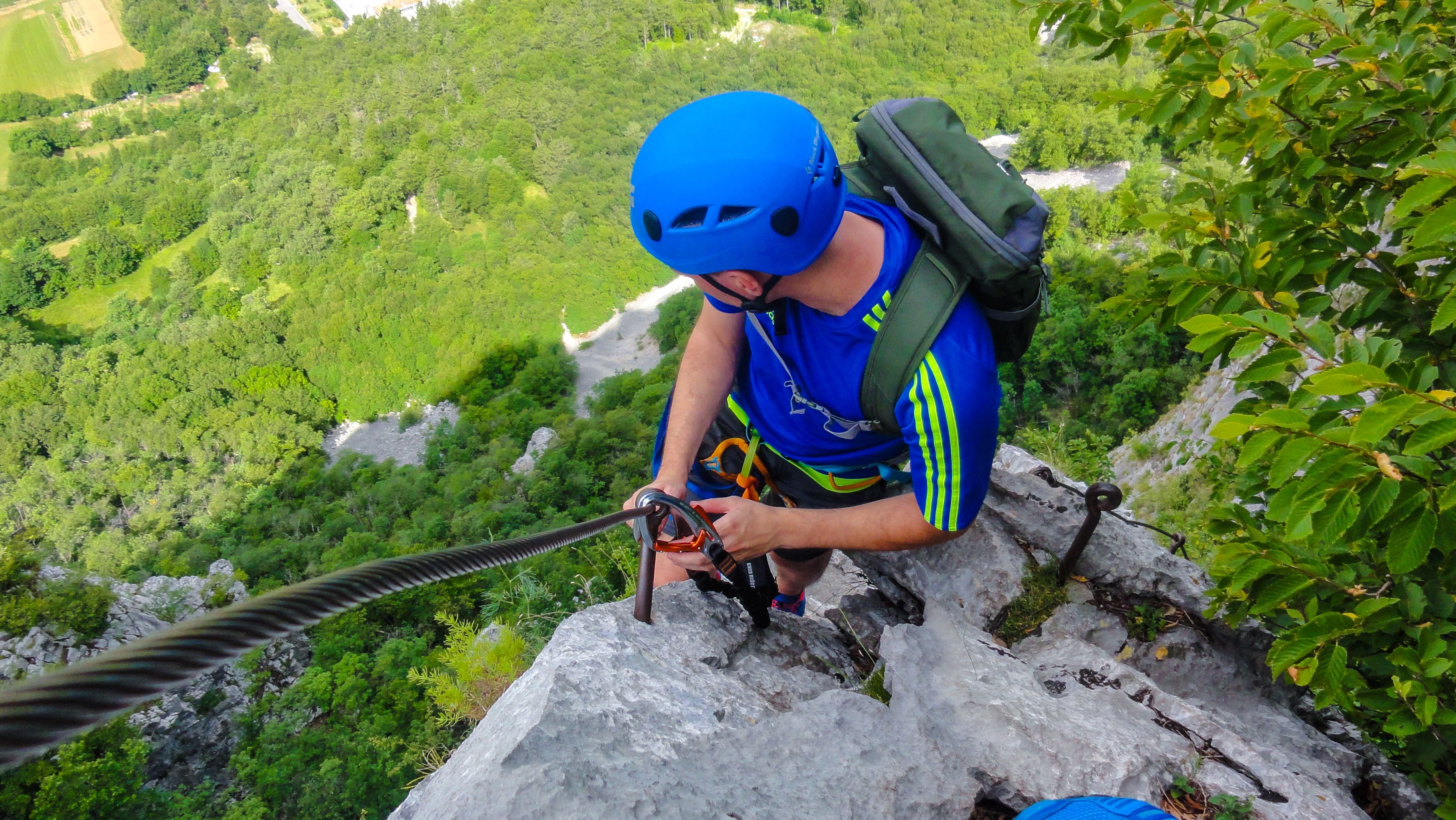
Just remember ... what ever you do ... do not look down!! :)

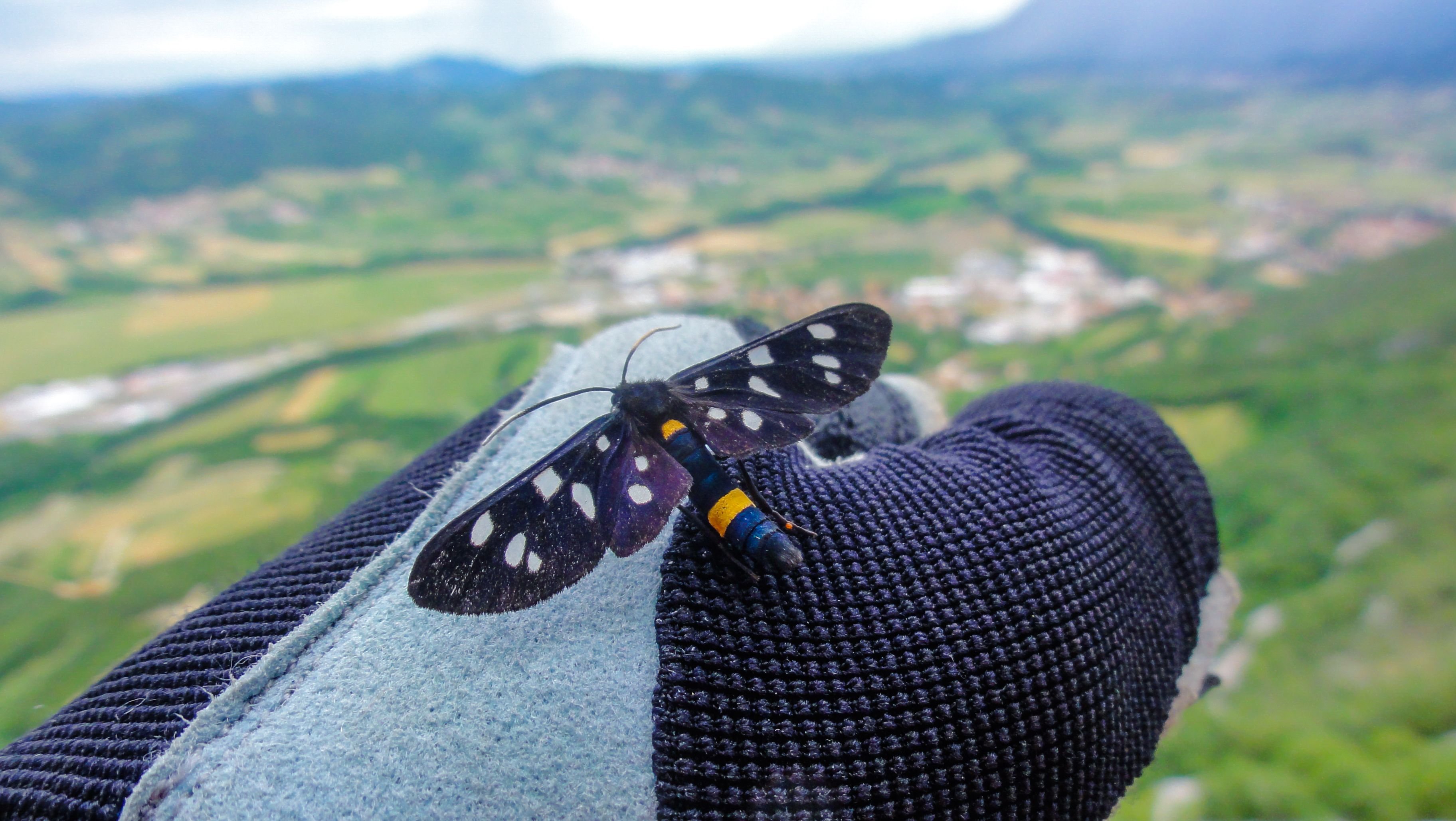
This wild little fella landed on my glove and stayed there for quite some time. He didn't mind i was moving my hand while climbing. He probably felt like he is on a rodeo ride :D
After the iron road as Italians call via ferrata routes ends, the route merges with the ordinary route and there is a good 30 minutes left of hiking to reach the peak. You will know that you are there when you see this giant cross
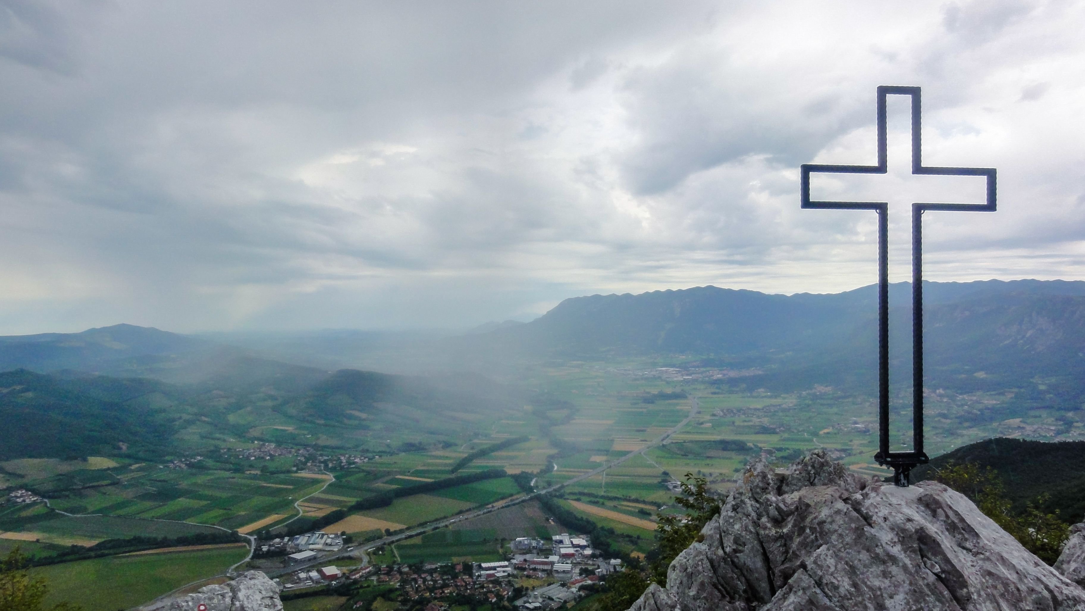
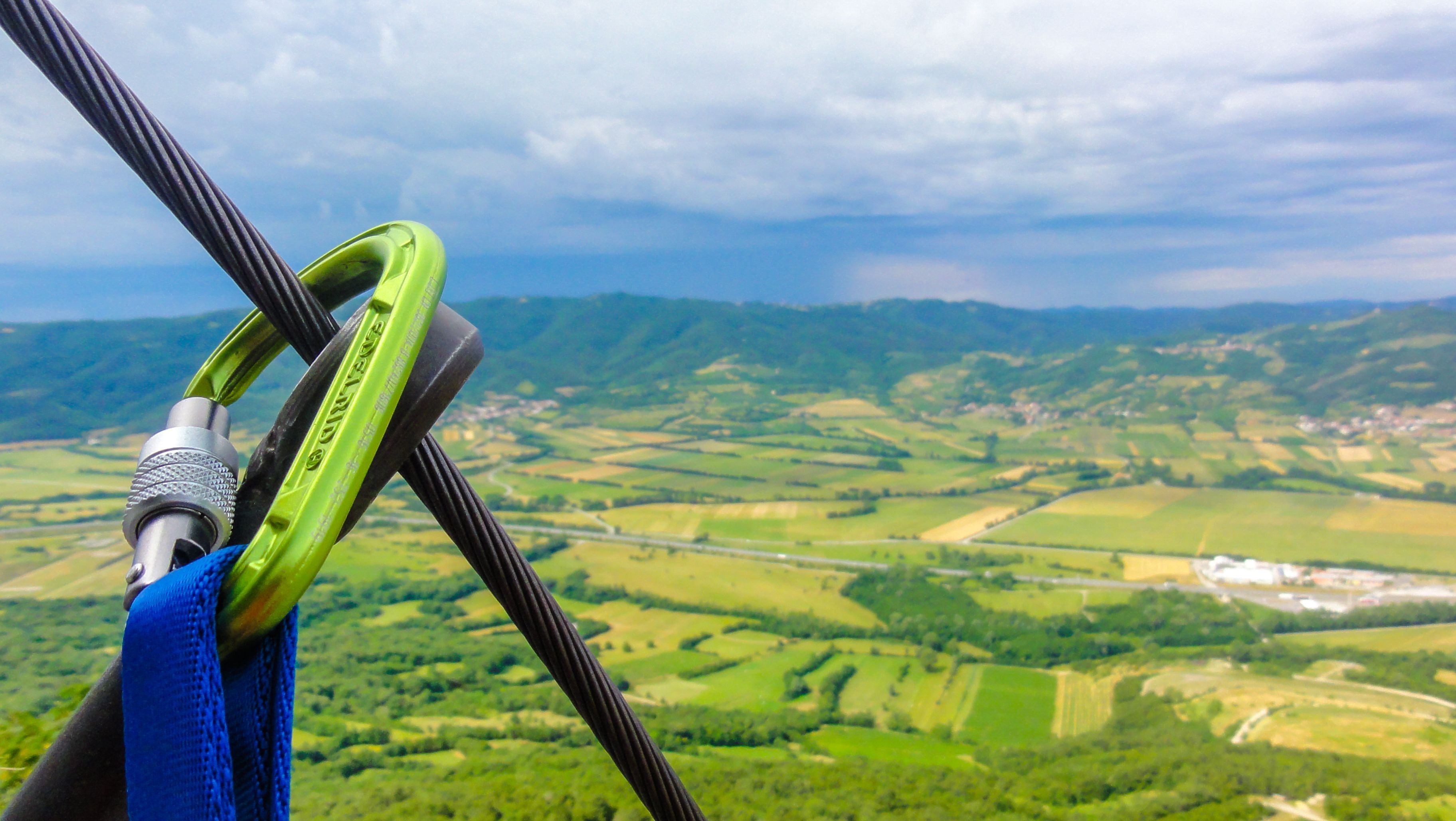
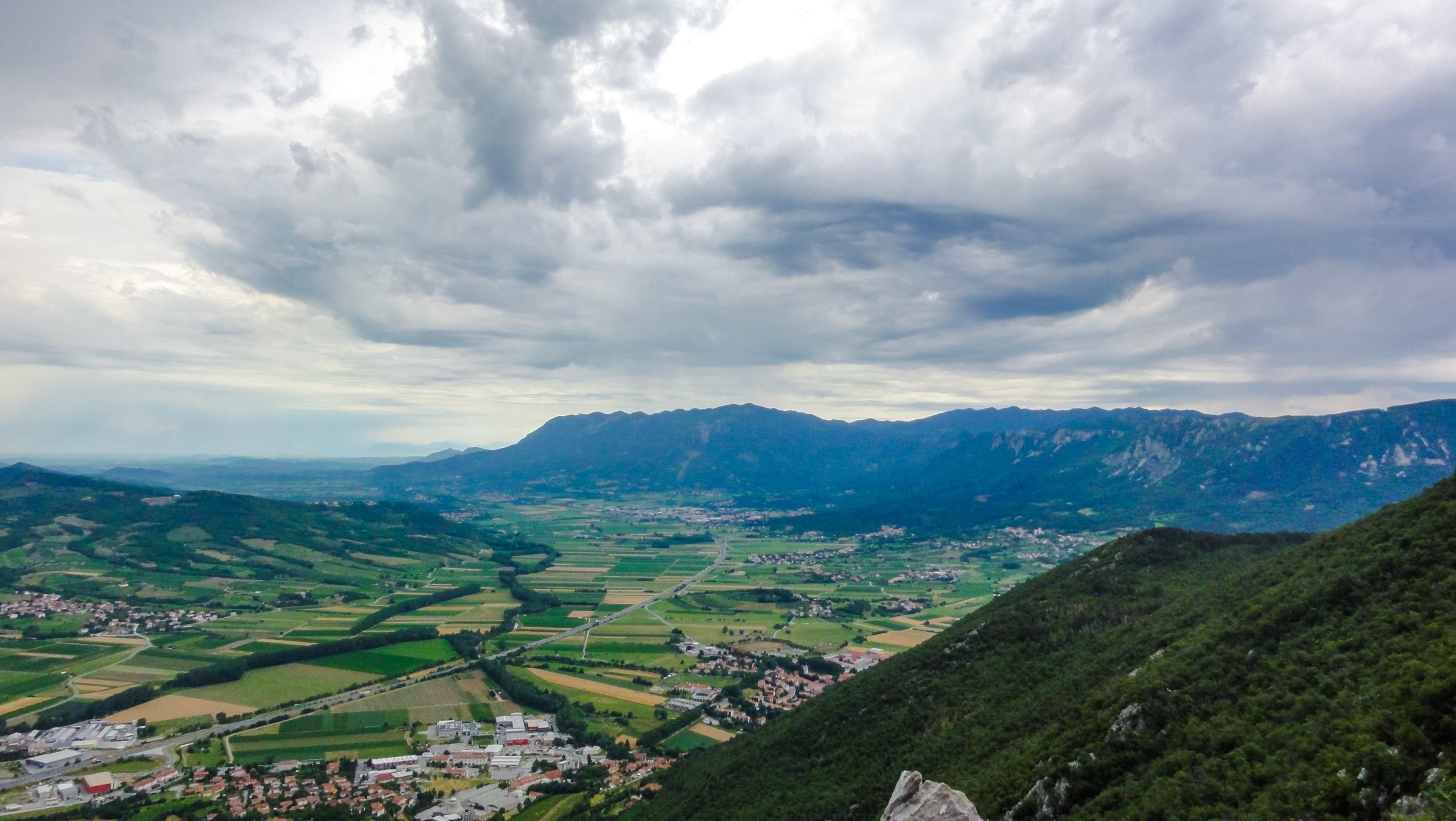
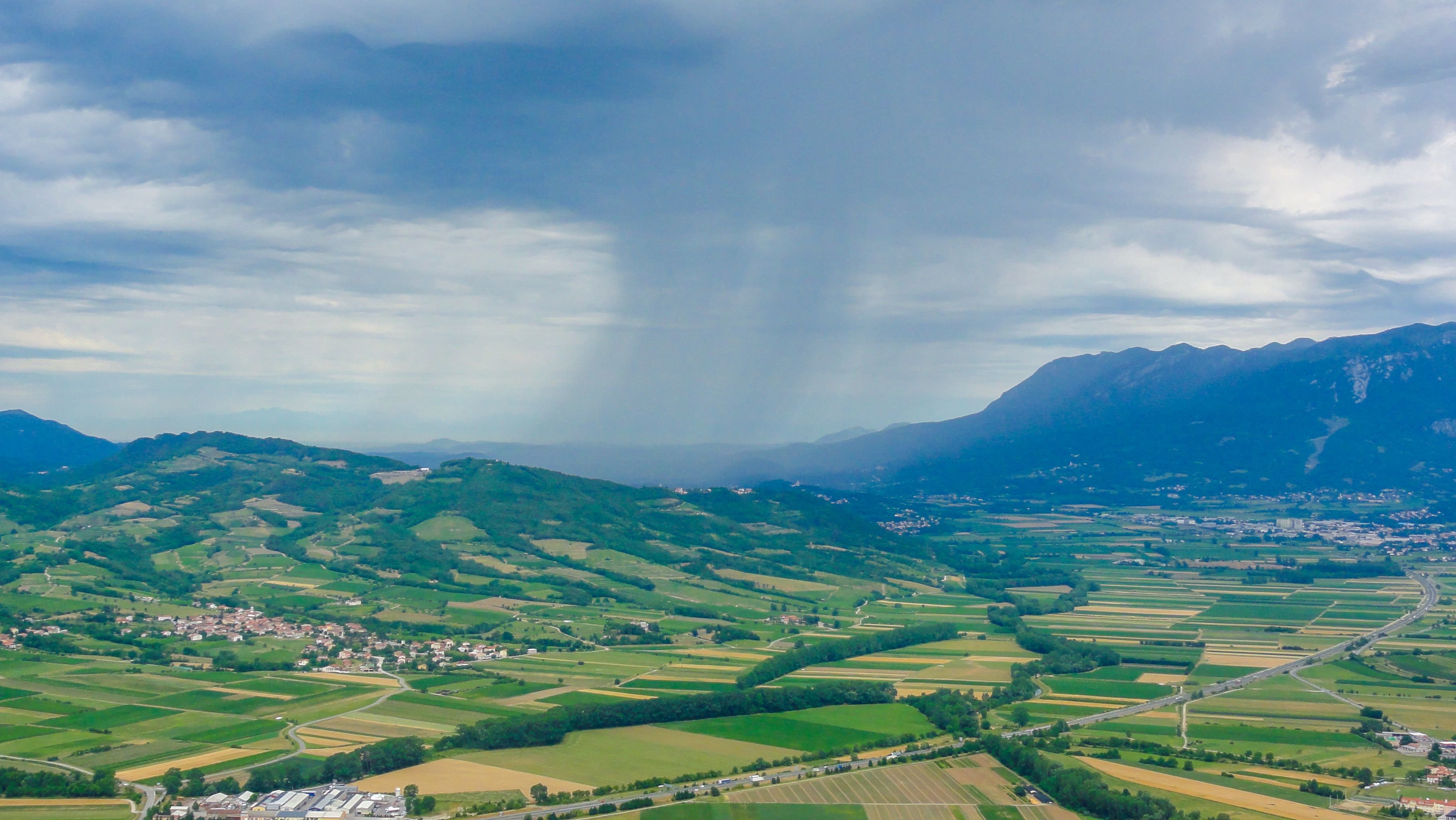
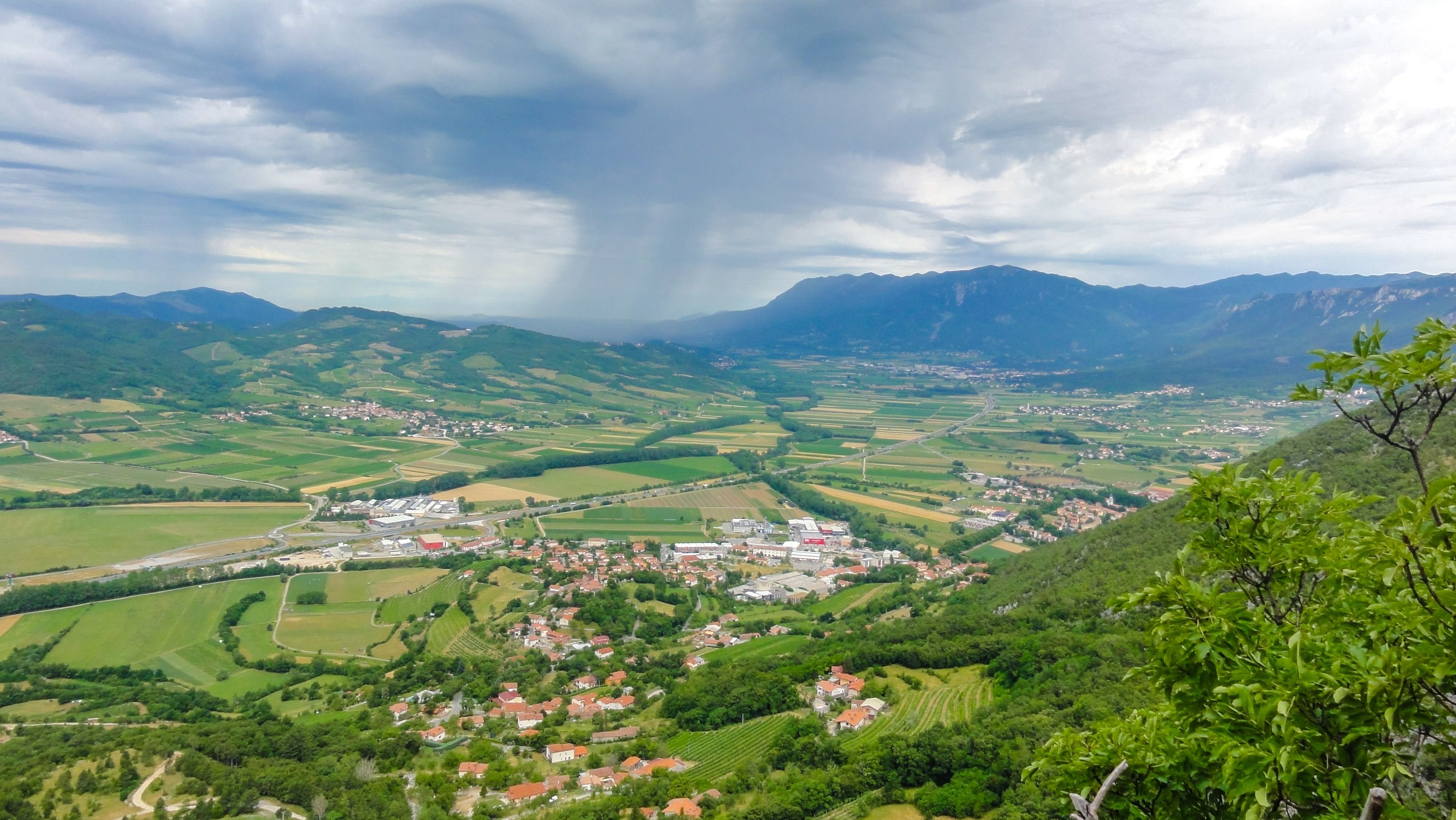
All the effort on the top is paid off by the spectacular view over the valley. As you can see on some pictures bellow, the storm was closing in so we had to hurry to get back down safely

To descend i would recommend either the ordinary route or follow the path by the cross for 5-10 meters and turn right on a small path.Descending can be a bit slippery and will take you around 20 minutes to reach this path
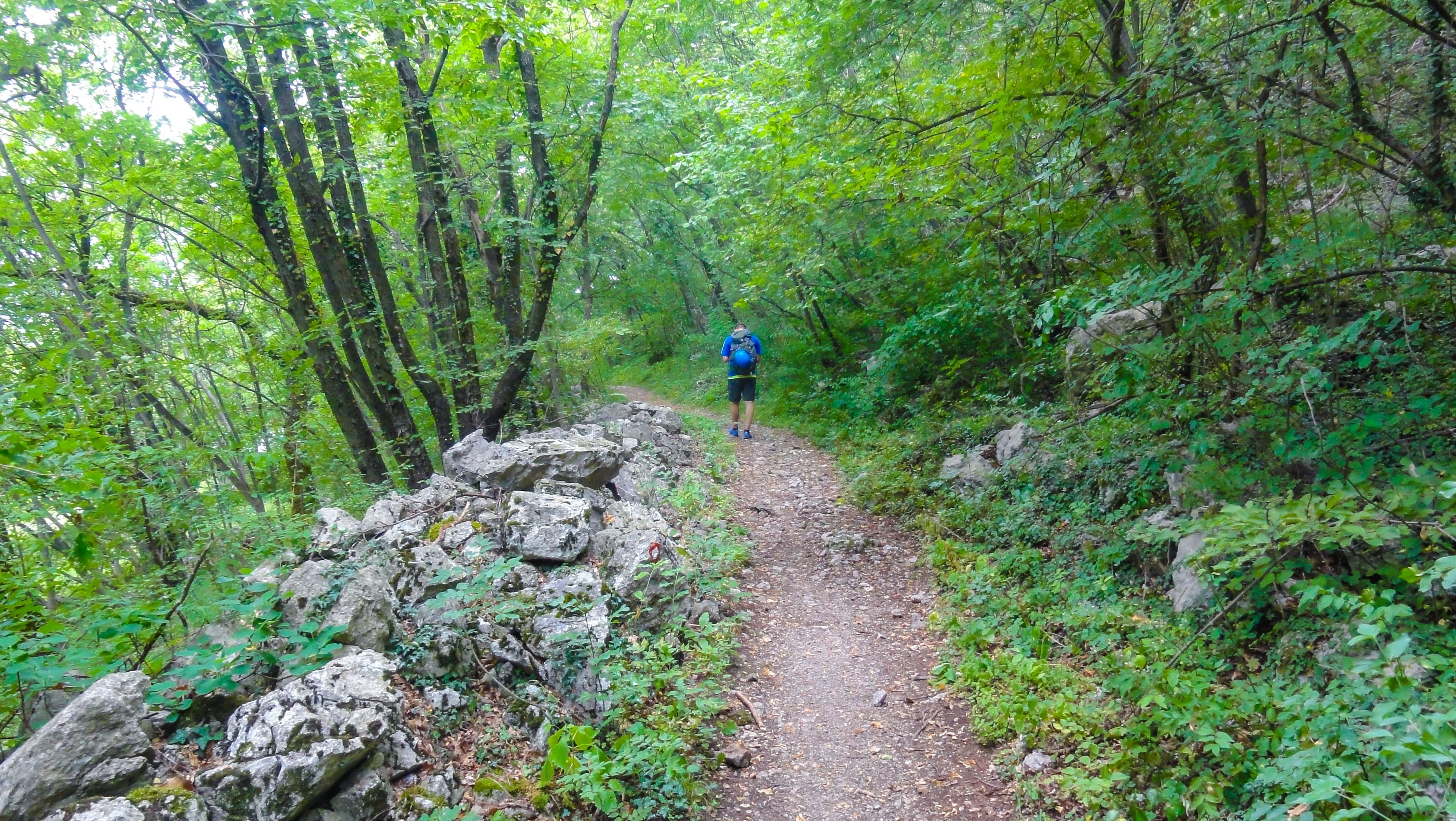
it will lead you back to the parking place in few minutes.
I must say it's a really nice practice route. It was my second time being here and i am using this route to overcome my fear of heights. It's getting better and better but remember not to push it too far! It's better to give up on a route if you decide it's too hard for you, than to push it over the limits and get injured.