Hello Steemians!😎
What's up? I hope you all stay healthy. As a result, I'm pleased to announce that I won last week's contest.
I would like to share one of my old travel experiences with you this week. That is Horton Plains tour. So let's
move to the story,

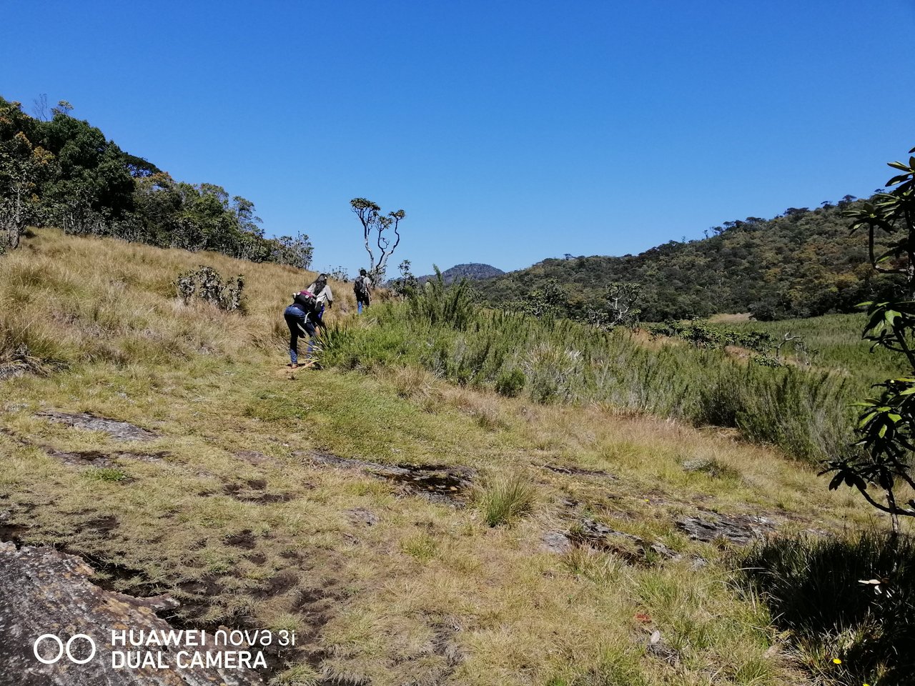
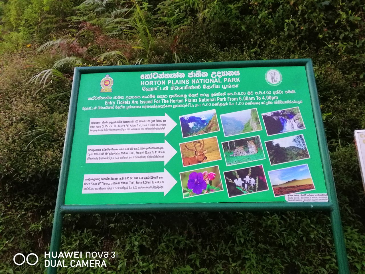
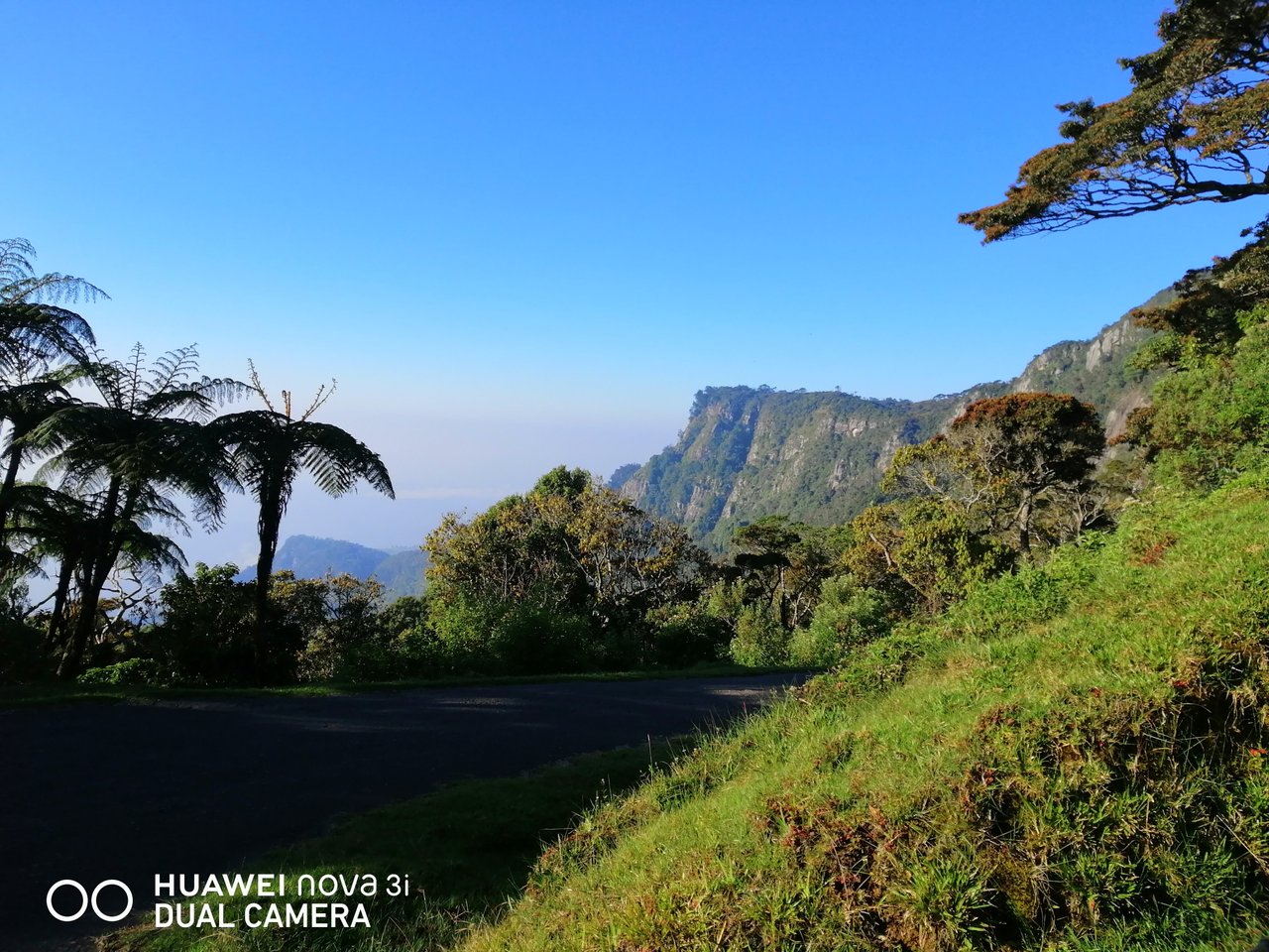
Horton Plains National Park is a national park located in the highlands of Sri Lanka. Known as "Maha Eliya"
in ancient times, it is located 20 km south of Nuwara Eliya and 20 km west of Haputale, between the second
and third highest mountains of Sri Lanka, Kirigalpotta and Thotapola, 2100 meters above seat level. It can
also be called one of the most beautiful World Heritage Sites in the world. The average temperature in this
area is around 16 degrees Celsius. Windy weather can be quite chilly in the evening. The park is spread
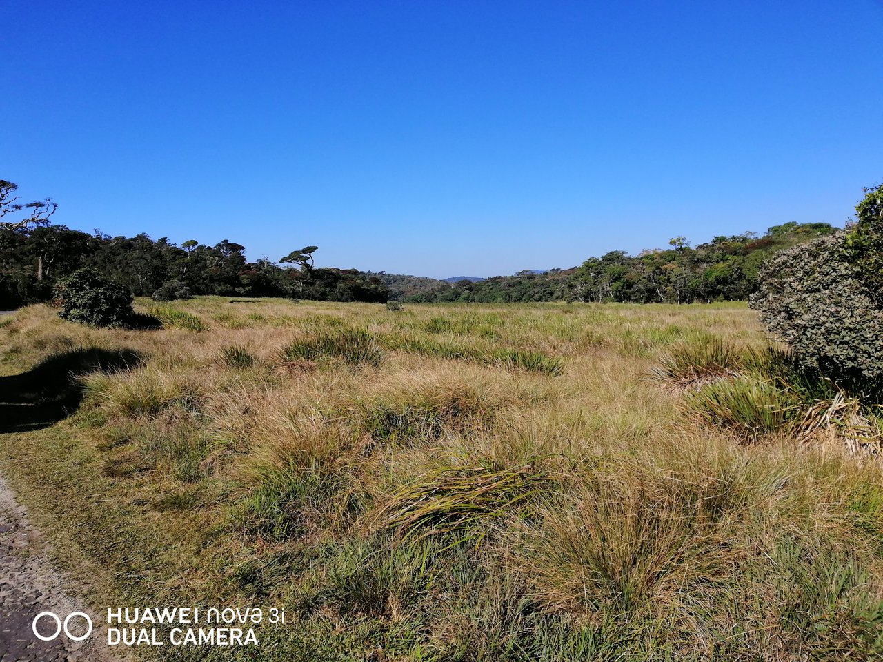
over 3,169 hectares and is a mixture of upland forests and wet grasslands. The Horton Plain was declared
a UNESCO World Heritage Site due to its large number of endemic flora and fauna. This is the only national
park in Sri Lanka where visitors are allowed to trek alone on designated tracks.

Horton Plain In terms of ecological importance, the Horton Plain, its surroundings, forests and adjacent
mountain peaks are the most important catchment area for almost all major rivers in Sri Lanka. The island
is also of outstanding scenic beauty and conservation importance, with many habitats representing the humid
and mountainous regions and the plains containing endemic flora and fauna. The western slopes support the
most extensive area of montane cloud forest remaining on the island. Horton Plains is not just a destination
for nature travelers. Because the rich biodiversity of the Horton Plain is still least explored, it offers
invaluable opportunities for those engaged in educational and research activities.
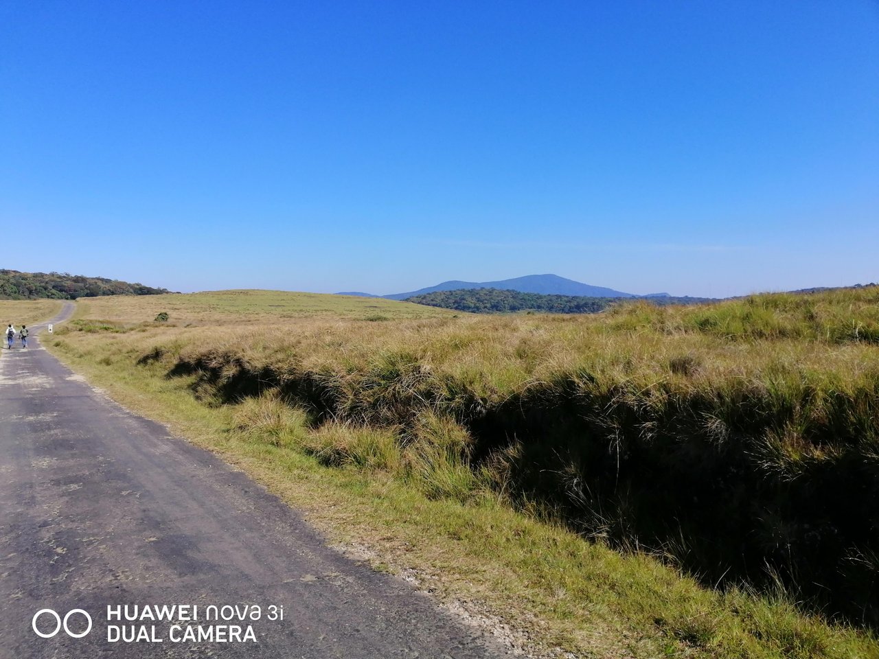
Horton's climate is a humid montane forest. Average annual temperature is 14-16⁰ centigrade and humidity is
relatively low at 65%. Although the highlands receive about 2540 mm of annual rainfall, the Horton Plains
receive over 5000 mm of annual rainfall.
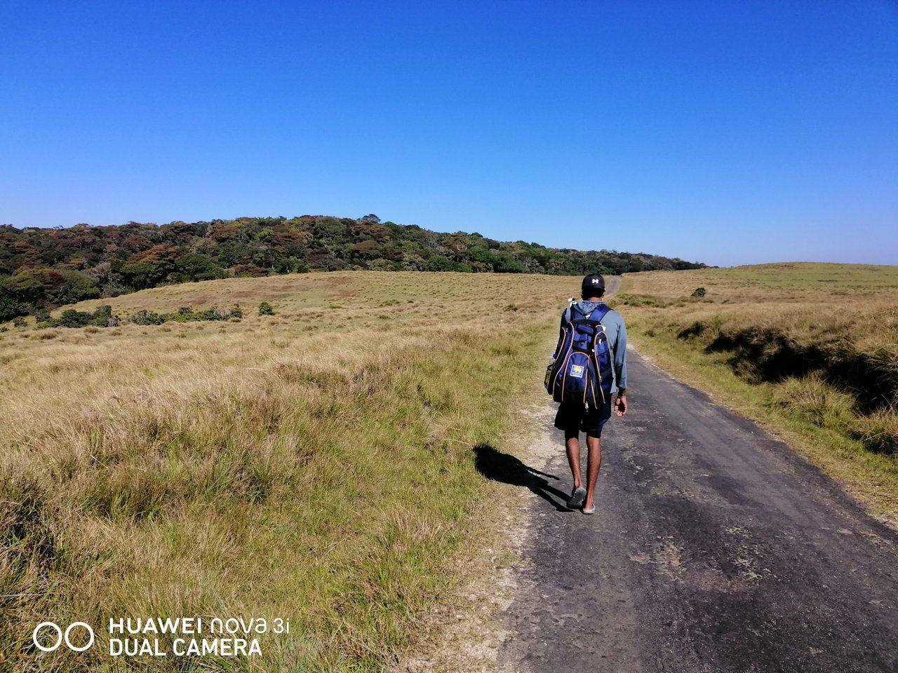
The Horton Plain Plateau at the southern end of Sri Lanka's Central Highlands consists of a network of
streams and channels. The montane forest is also the source of three major rivers in Sri Lanka: the
Mahaweli River - Sri Lanka's longest river, the Walaway River and the Kelani River. Further, the
Horton Plain is bounded by Sri Lanka's second and third highest peaks: Mount Kirigalpotta (2389m)
and Mount Parryola (2357m).
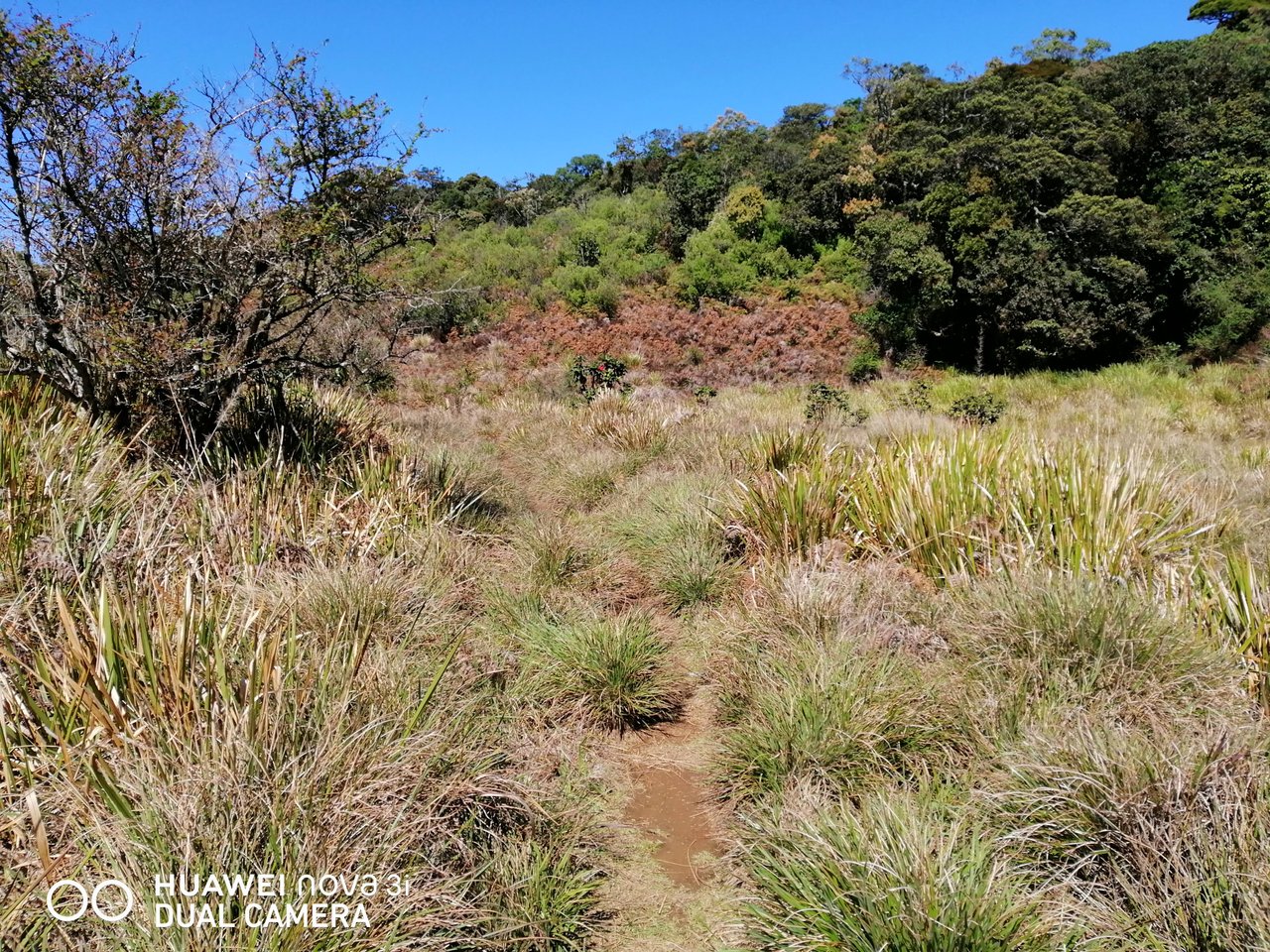
The Great Plains of Sri Lanka's Central Highlands were discovered in the early 19th century by a planter
named Thomas Farr. In 1834 it was named Horton's Plain in honor of the then Governor of Ceylon (1831-1837)
Sir Robert Wilmot Horton. Horton Plains was declared a nature reserve in 1969. In 1988, the reserve was
elevated to the status of a National Park. The Horton Plain was declared a UNESCO World Heritage Site on
30 July 2010 due to its large number of endemic flora and fauna.
This is my old trip and I will bring details about the waterfalls in Horton and the 2nd and 3rd mountain climbing
in Sri Lanka in the future.
Gallery Time

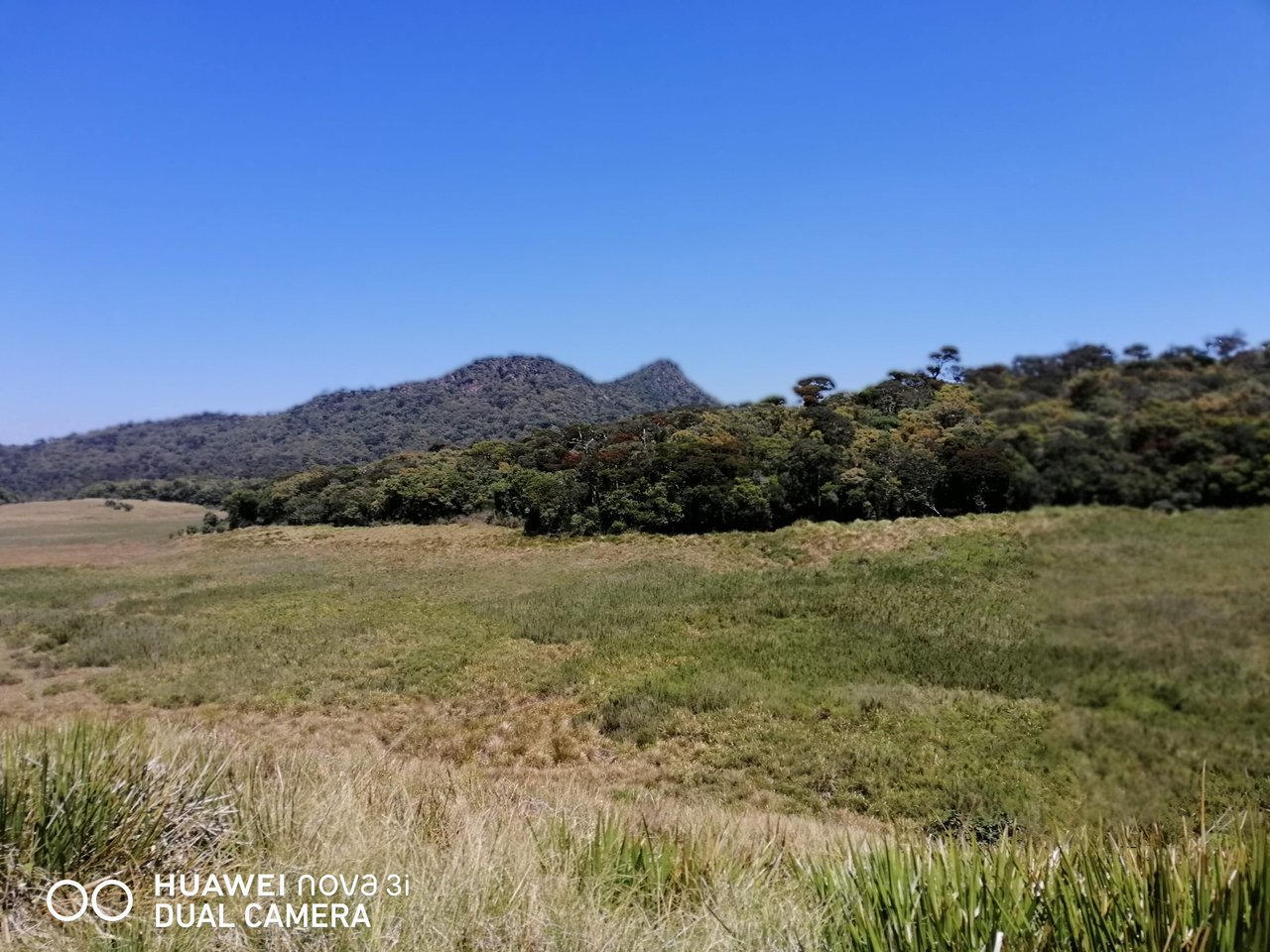


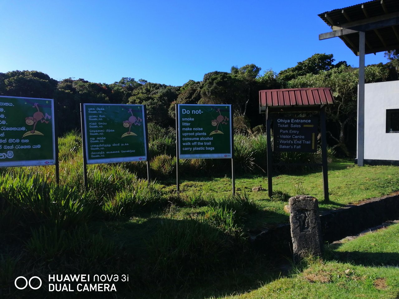

| Photo Topic | Horton Plains | Beautiful Sri Lanka |
|---|---|
| Devices | Huawei Nova 3i |
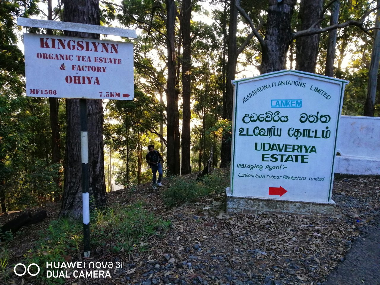
| Location | Ohiya, Sri Lanka |
| Date | 19/02/2019 |
| what3words Link | https://w3w.co/drench.plight.photographic |
I implore everyone who reads my articles to make a trip to the tiny island of Sri Lanka. So, this concludes my brief tale.
Please remember to vote the article up. I look forward to seeing you again with another travel tale. Until that Bella Ciao!!!
