This project started a few years ago and will continue a few more.
After moving into a home with access to view the Gateway Arch from across the Missouri Bottoms floodplain of the Mississippi River, I became interested in finding locations to photograph the monument during the sunset with a relatively close size relationship. I used the Wolfram-Alpha website to calculate the apparent angular diameter of the sun during sunset. Then using CAD to calculate the apparent angular distance across the Gateway arch to get an idea of the camera distance. I also use Google Earth to a set date and time with the sun location turned on to help scout locations throughout the year as the sun changes position each day because of the Earth tilt.
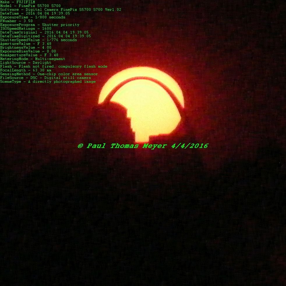
My first location attempt was a success! I only used the eyepiece of my digital camera to point and shoot so that I would not damage my vision. The resulting photo below was the only one out of about 80 photos I took that was spot on!
I have made several more attempts and found success using the above methods. Each day I must set up in a different location, and weather permitting, I will get to take many photos.
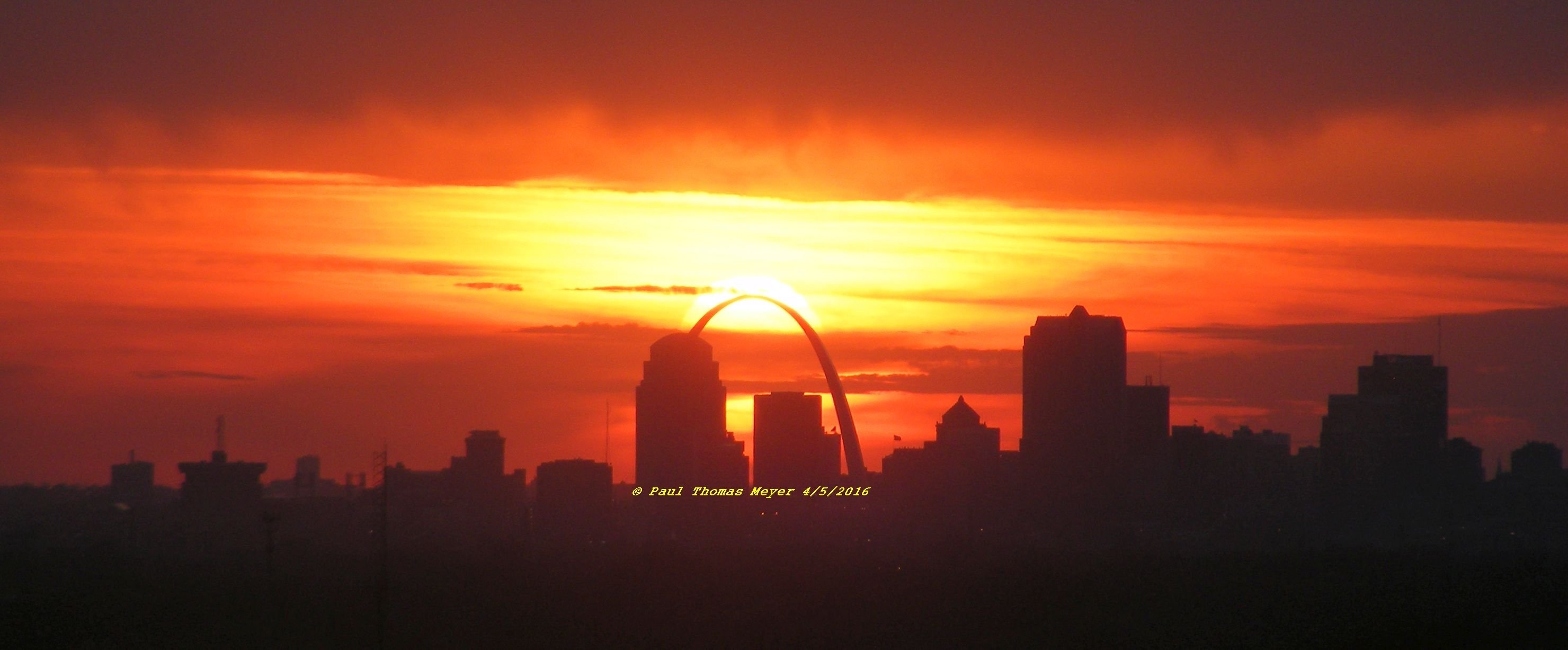
Each year I can return to these locations and hope for good weather and get excellent results. Like this one.
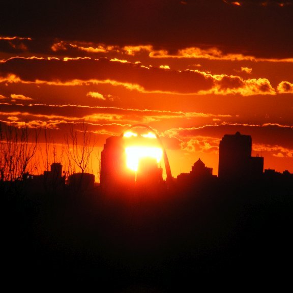
Sometimes I miss calculate or miss a day and try to get a different result, like this one, which I captured over 500 still images to create a timelapse. The video is now on DTube 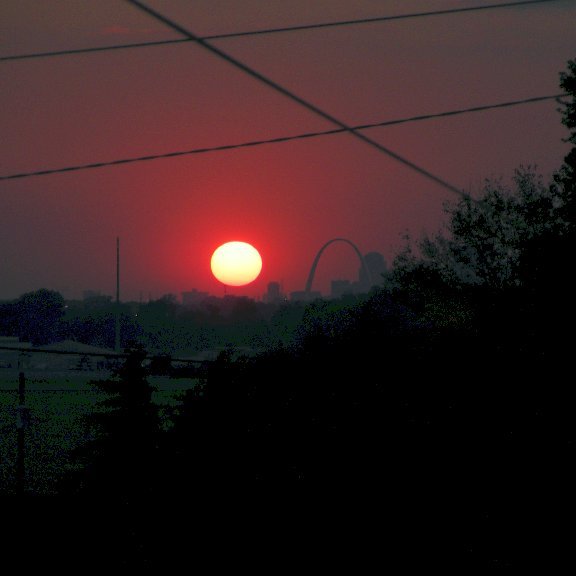
I will continue this project and plan to get better photography equipment & filters to be able to publish professionally.
Thanks for reading and I look forward to your comments or critique.
Paul Meyer (bcuda69)