With my Munro tally up to 78 after the previous day's hillwalk, I was scheduled to climb a big beast of a mountain called Bidean nam Bian in Glencoe.
To recap, I'm on a mission to climb all of Scotland's "Munros", or hills with an altitude of at least 3,000 feet (914.4m) or more. There are 282 of them.
For now, my goal is to reach 100 Munros, and I'd like my 100th Munro to be Ben Nevis.
Ulog #8: Serious Bagging, my mountain mission!
Ulog 9: Serious Bagging, Day One – Creag Meagaidh in threatening weather
A dangerous mountain
Bidean nam Bian is a difficult and potentially dangerous climb. Sadly, there have been many fatalities on this mountain, which has many steep, rocky cliffs. These can be treacherous in poor visibility. This wasn't a mountain that I wanted to tackle solo, so when a Meetup group that I'm a member of scheduled a walk to Bidean, I quickly added my name to the list.
Unfortunately the weather forecast for that day looked atrocious, with rain and strong winds!

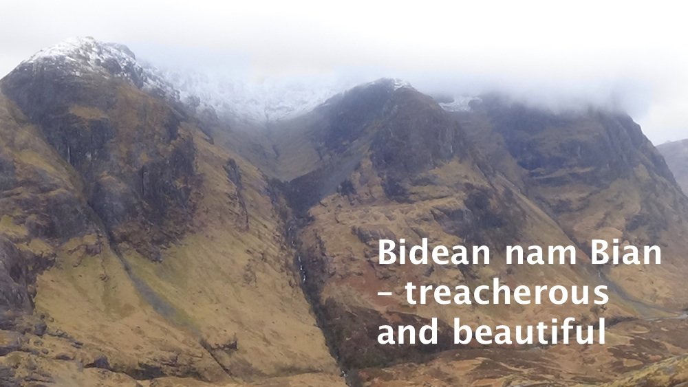
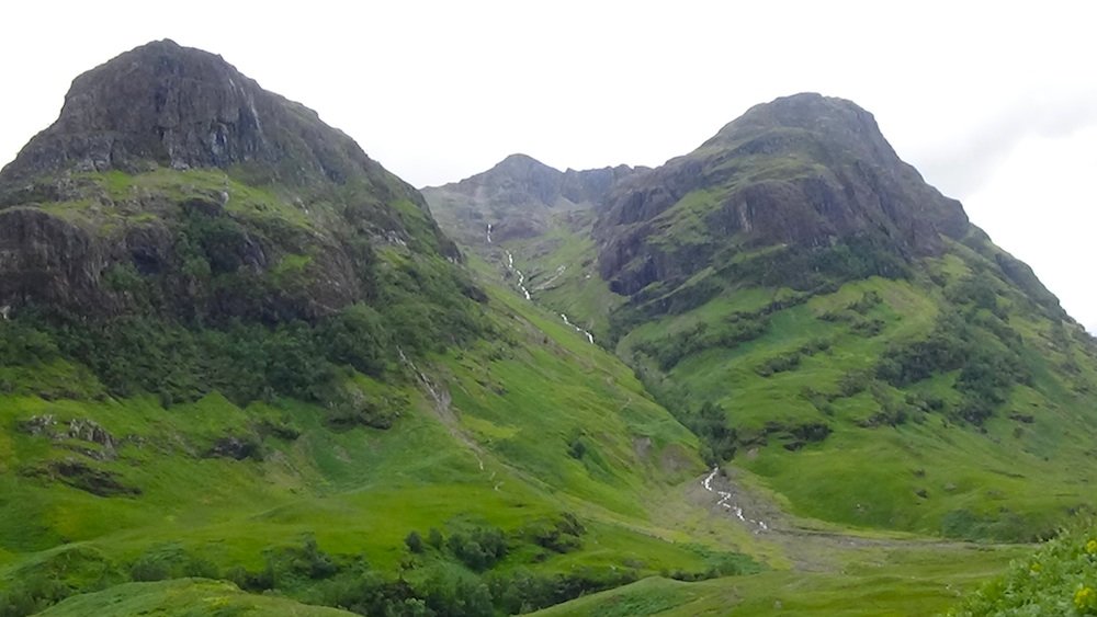
Bidean nam Bian is distinguished by three protruding ridges known as The Three Sisters, that loom imperiously over the A82 road. I've often driven past them and wondered what it would be like up there.
The mountain is so big that it's difficult to get all the "Sisters" in one photo frame from ground level. The photo below was taken from a hill called A'Chailleach (pronounced "ah-kelly-ach") directly across the road from Bidean, in April 2017.
The climb would take in two Munros (mountains over 3,000 feet): Stob Coire Sgreamhach ("The Peak of the Horrible Corrie"), at 1072m (3517 feet), and Bidean nam Bian itself, at 1150m (3,772 feet).
Bidean nam Bian means "The Peak of the Animal Pelts". Maybe it got its name because of the glen that lies between the two easternmost "Sisters", Coire Gabhail, which means "Glen of Capture", but which is more commonly known as the Lost or Hidden Valley. This glen is where the Clan Macdonald used to hide stolen cattle. It's a distinctive flat plain at an elevation of about 360m.
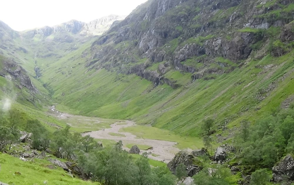
Even at this altitude there have been fatal falls into the gorge, thankfully rare given the numbers of people who visit this area. But great care is required when scrambling up the rocky path to this valley, especially in wet or icy, sloppy conditions.
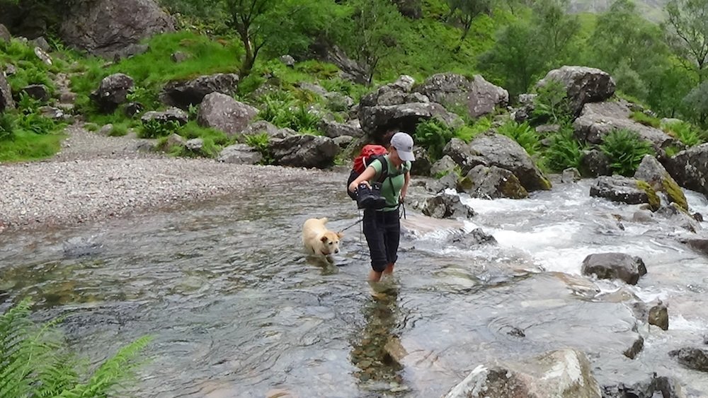
For experienced hillwalkers and people used to walking on rough terrain, the walk presents few problems, although there was a tricky river crossing. There had been a lot of rainfall the night before our walk, and the rivers were in spate.
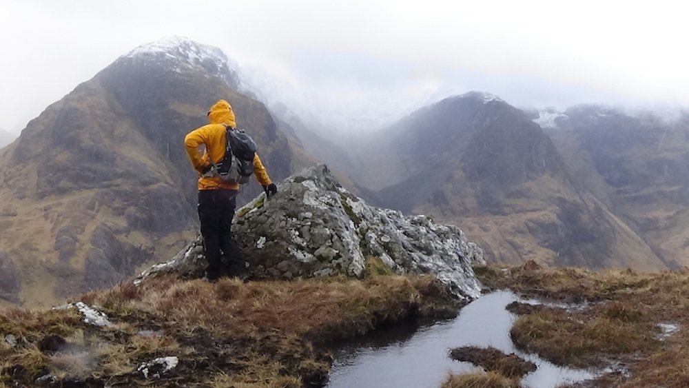
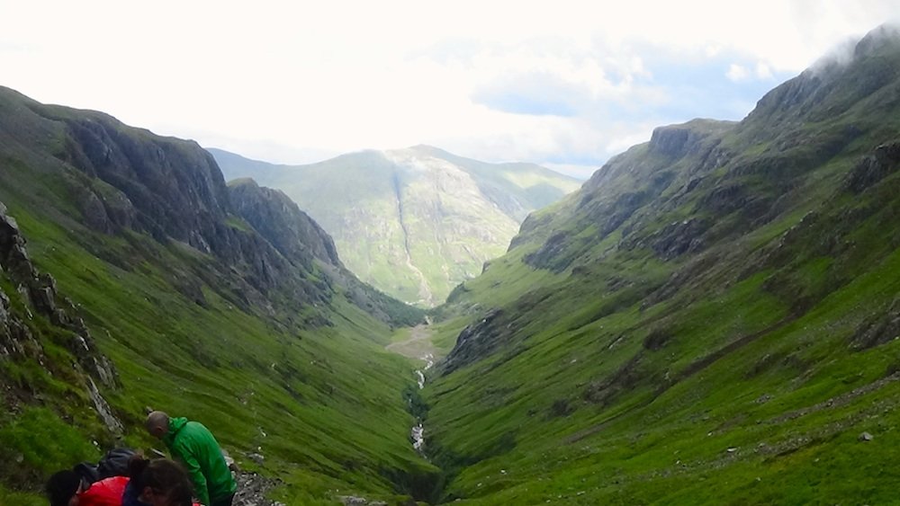
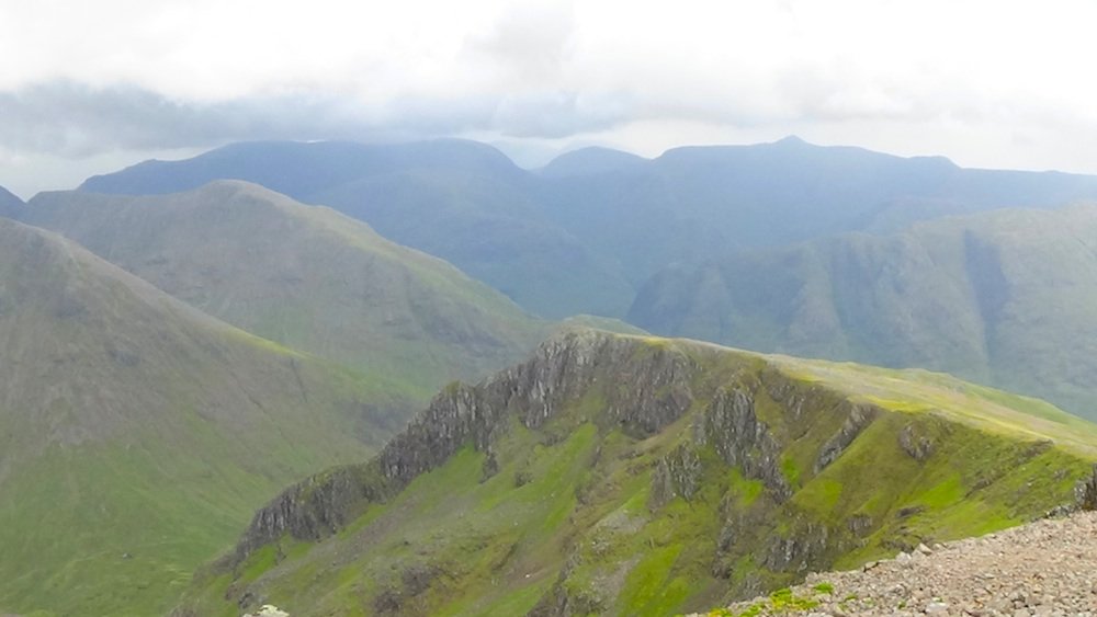
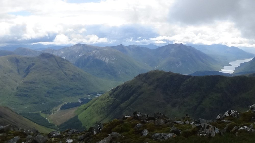
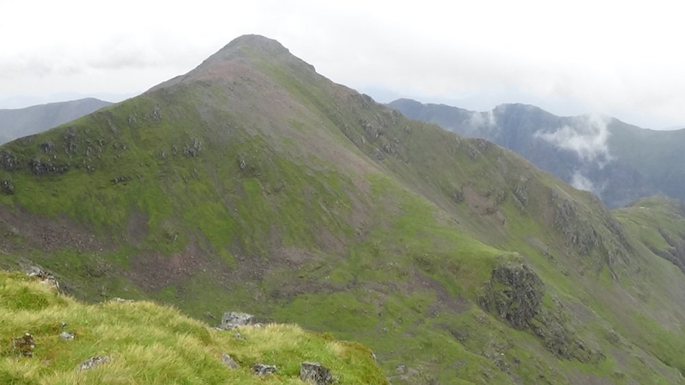
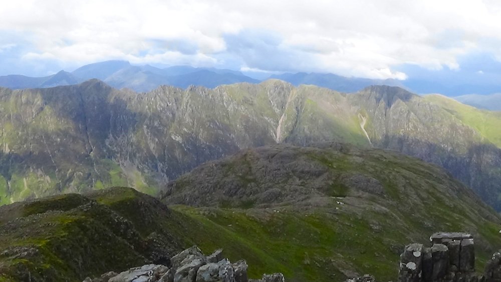
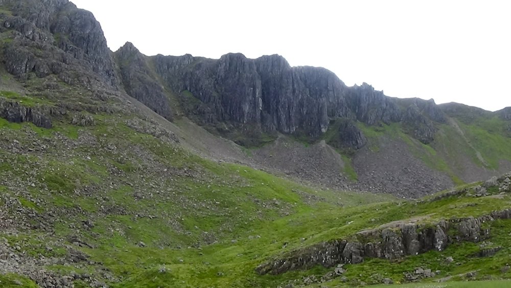
As we climbed higher, the views looking back over the Lost Valley to A'Chailleach were dramatic, with the steep sides of the ridges sheltering the valley from the sunlight.
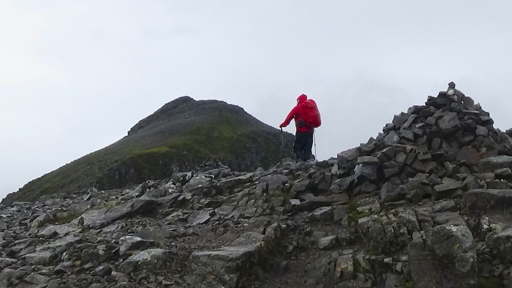
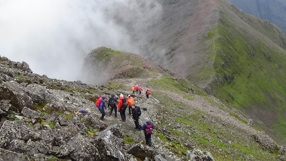
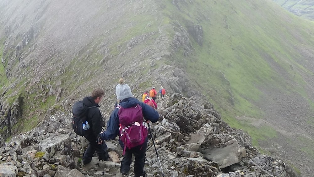
As we approached the lowest part of the ridge, the terrain got very steep and rocky! Some people in our group found it hard going.
When we reached the ridge, the first summit, Stob Coire Sgreamhach, seemed to be within easy reach. We were already at 944m. We dropped our backpacks and scrambled up the rocks to the top.
The weather was dreich (mist and light rain) and it felt a bit chilly without the protection of our backpacks!
The views looked spectacular, but they didn't make great photos, due to the grey claggy skies.
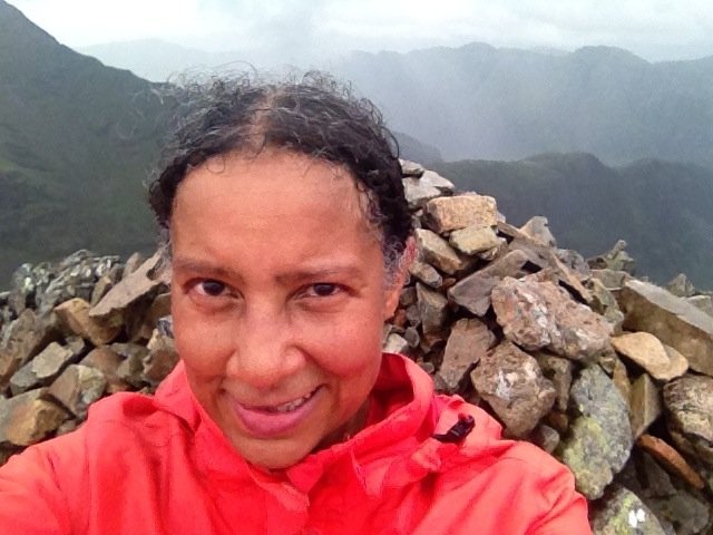
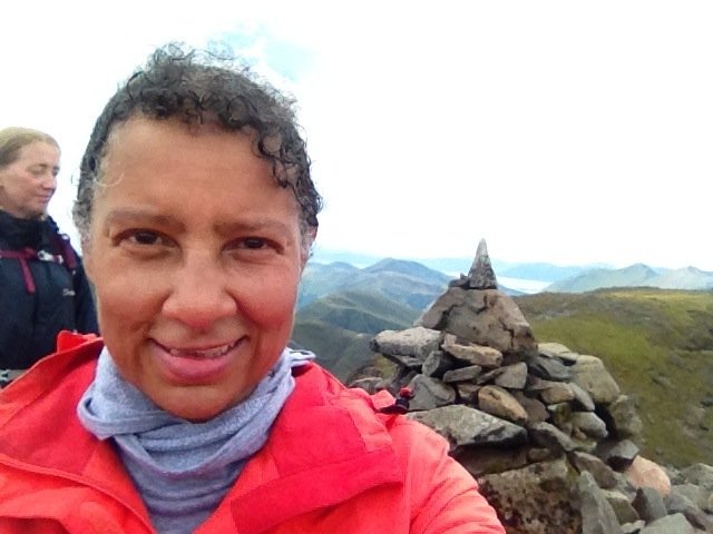
I took a summit selfie and then got down as quickly as I could, as it was windy up there!
After returning to the bealach, it was time to tackle the big beast: the summit of Bidean nam Bian. We were all soaked to the skin by now, but the atmosphere on that mountain was so thrilling that we were full of excitement and raring to go!
Up to this point the rain had been light but persistent. As we headed up the steep incline, the wind rose and a downpour started. We put our heads down and just kept putting one foot in front of the other.
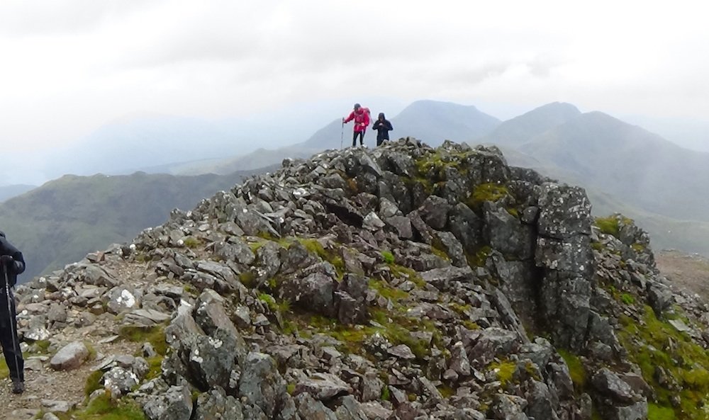
Halfway between the bealach and the summit, at an altitude of 1040m, the weather relented at last and we were able to pause briefly and look around.
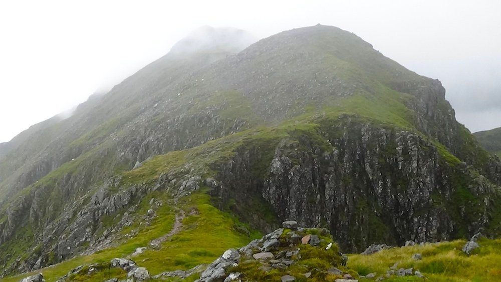
The summit mound looked quite dramatic: a grassy surface with a sheer rocky face.
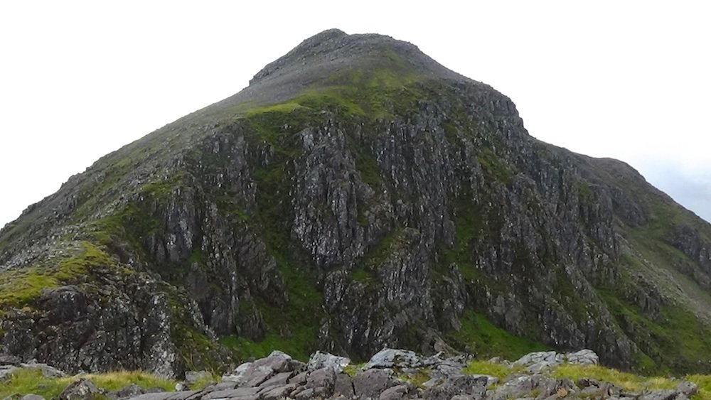
It was just a short pull to the summit – and as we arrived, the clouds started to lift.
The skies were still quite dramatic, with electric blue clouds.
I was able to bag Munro no. 80!
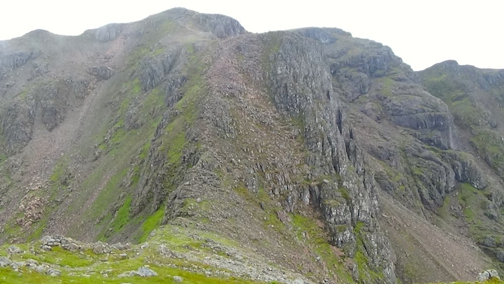
We enjoyed lunch in the calmer weather at the summit, and then started to head back down the rocky path in a circuit. Our descent route took us down to the valley between the two westernmost ridges, or "Sisters".
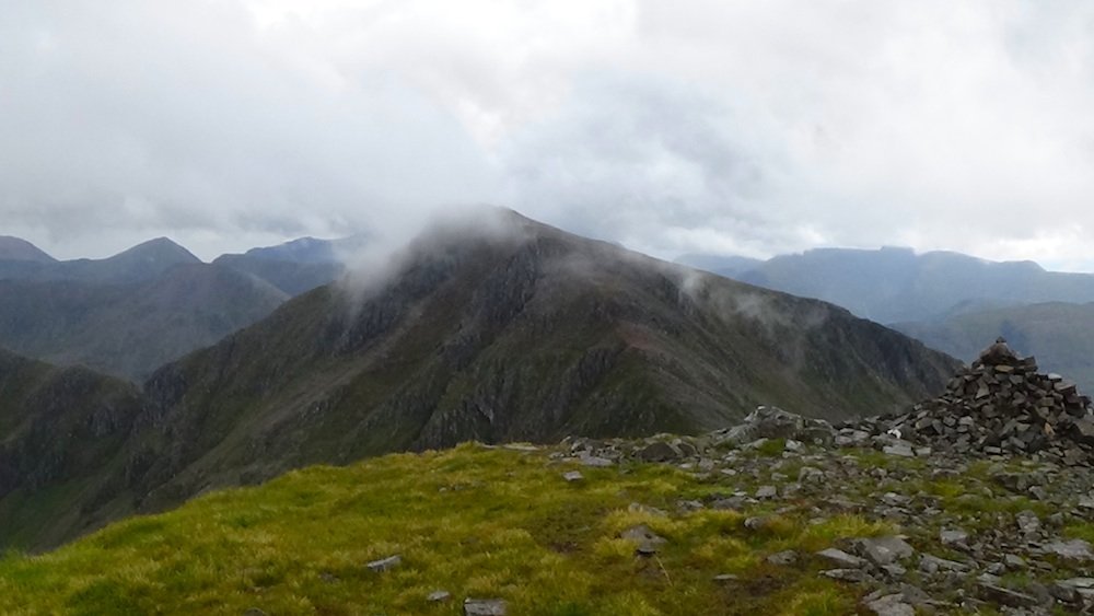
But first we had to climb up this!
The route was very bouldery, which made walking difficult. However the main challenge was finding the correct route down, especially when thick cloud descended once again. This is where many walkers have come to grief. If you take the wrong route down, you can find yourself at the top of a cliff or buttress, or even worse, hurtling down it.
There were a couple of very fast walkers in our group, and they did initially head down the wrong route from the summit of Stob Coire nan Lochan. With mist all around, we couldn't see where we were headed. The group organiser initially called them back up; then there were some discussions, and we were all advised to head down that way again.
Luckily we hadn't got very far when we were told to head back up again. I'm not sure what went wrong, but my guess is that a GPS was being used, and GPSs don't always perform very well in low cloud. The walk organiser is very experienced and responsible, but the people who rushed on ahead should maybe have been taking more care.
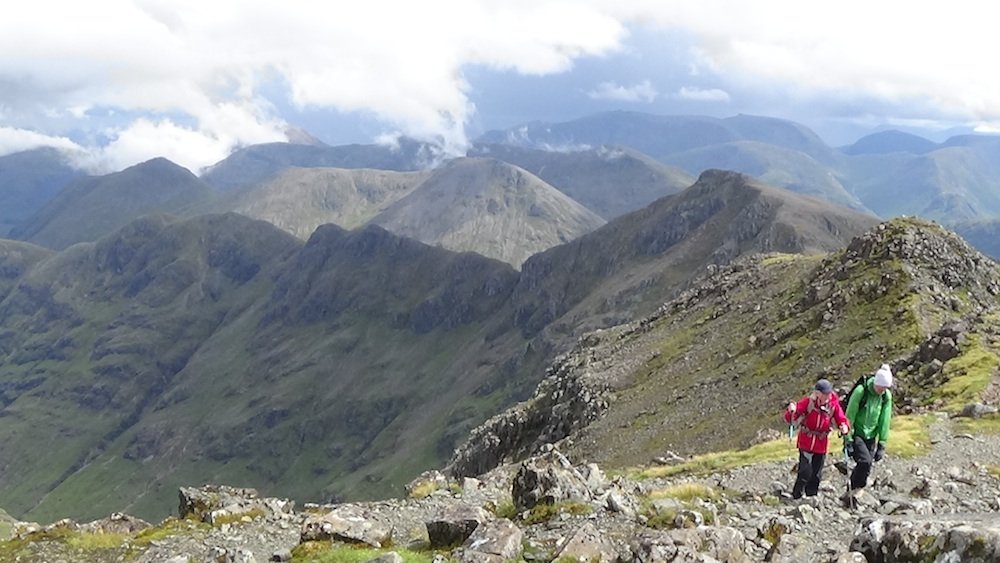
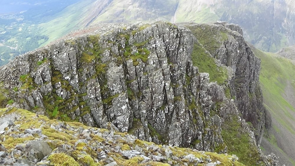
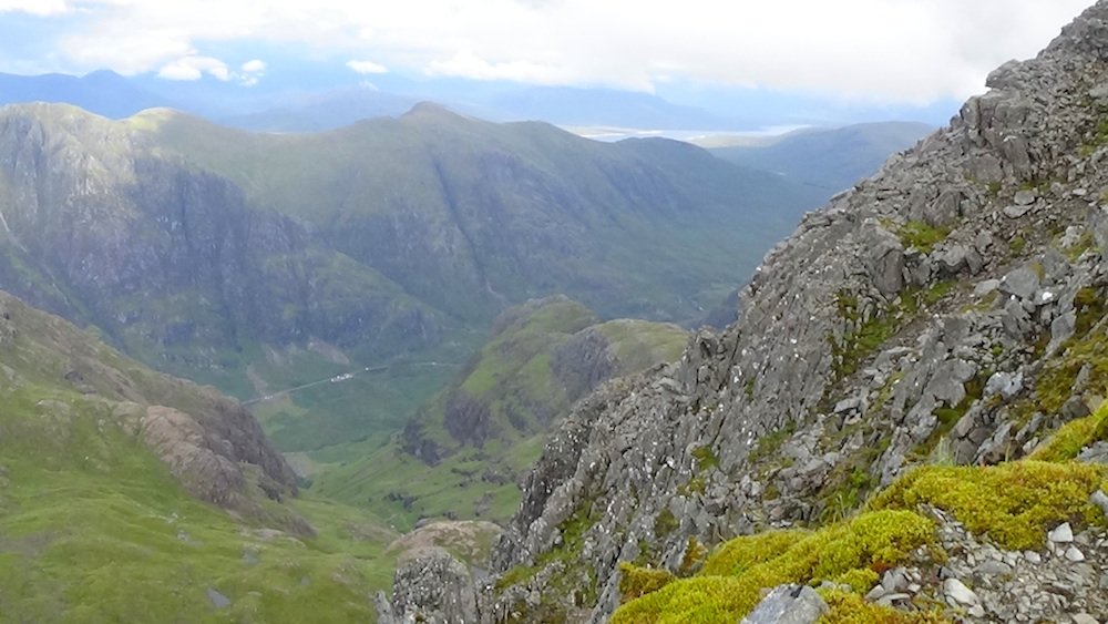
We soon found the correct path that leads round the tops of the cliffs and down the shoulder of Aonach Dubh, the westernmost ridge, or "Sister", before heading south west into the corrie. It took us over some dramatic rocky cliffs.
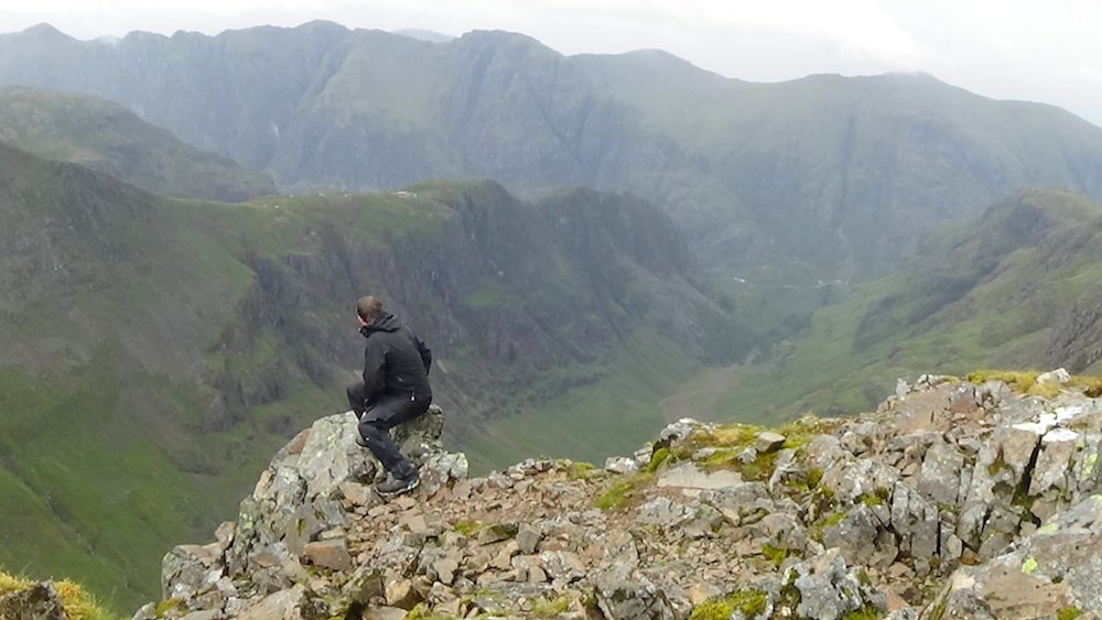
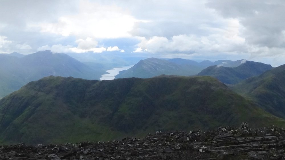
On the other side there were lovely views down to Loch Leven and Glencoe village.
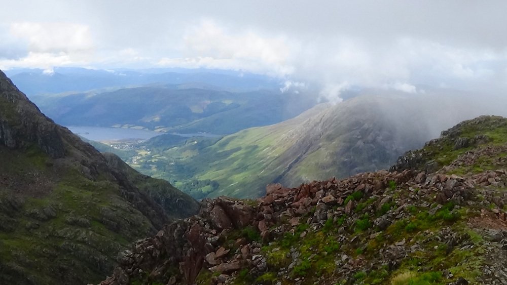
To the north we could see the Aonach Eagach ridge with Ben Nevis behind it.
To the north east we could see A'Chailleach with the A82 and our car park way below.
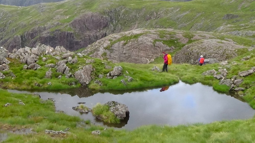
As the route headed down into the valley of Coire nan Lochan, the terrain became much grassier, more gentle and a bit boggy. We passed some beautiful pools. If it had been warmer I might have wanted to go in for a swim to cool off!
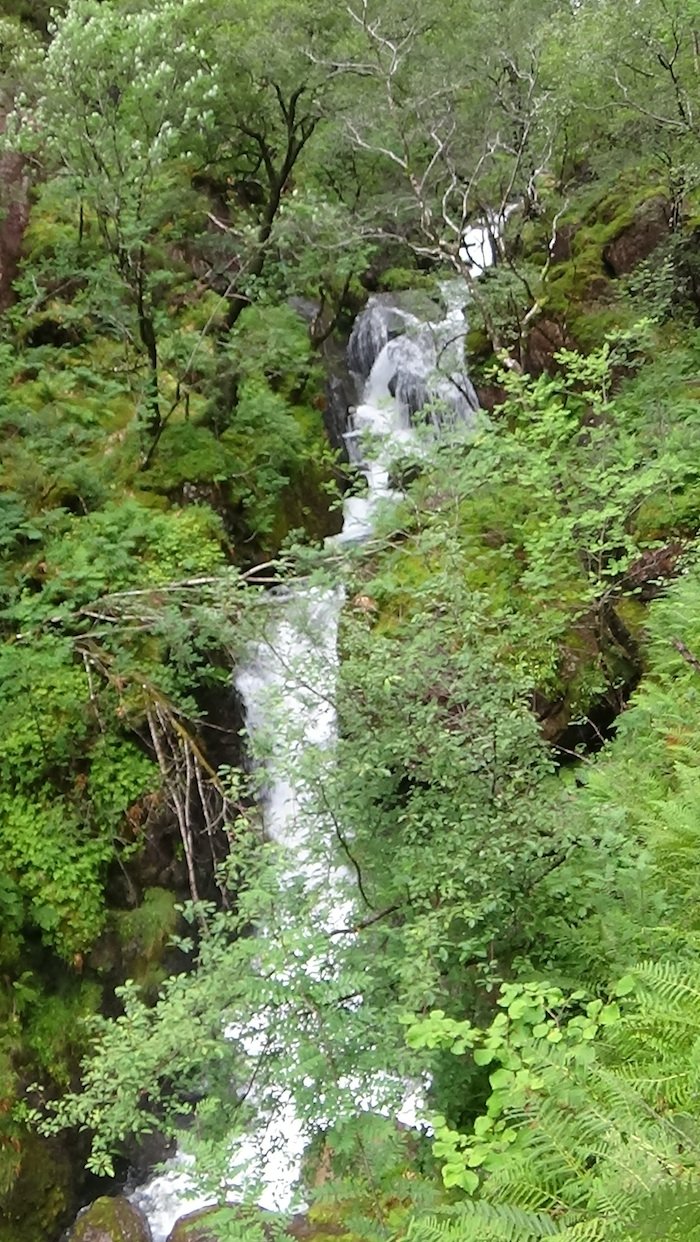
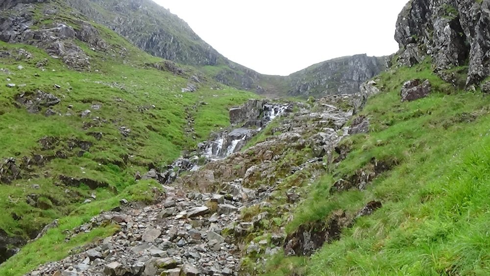
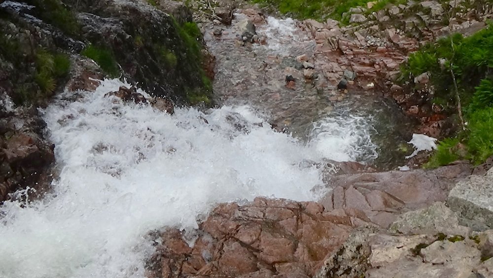
Verdant waterfalls started to appear.
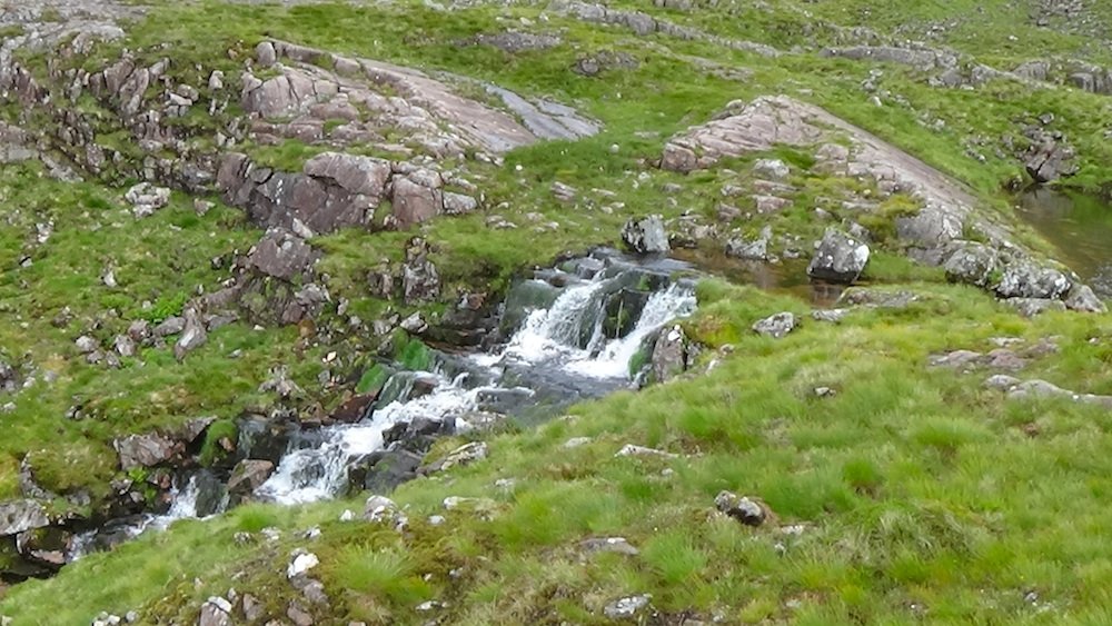
Our route was overlooked by rocky buttresses.
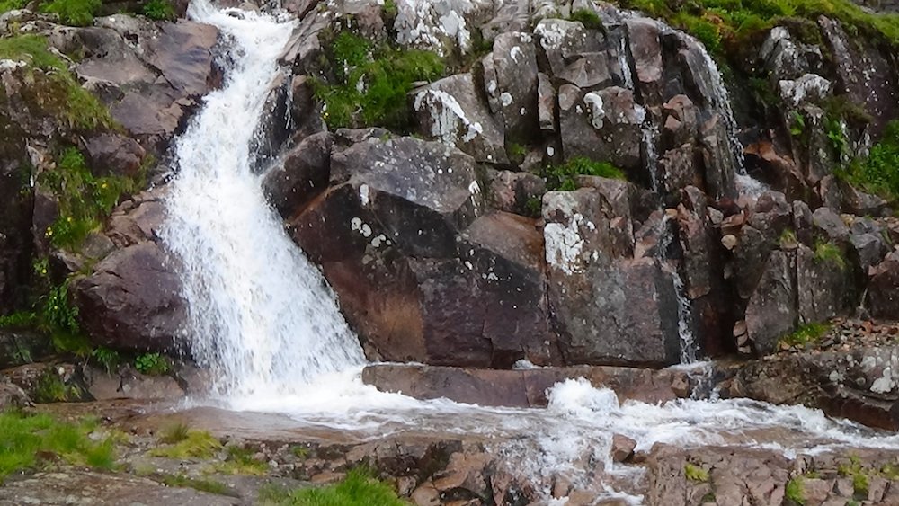
After a while, the path started to head down quite steeply. We were walking alongside a cascading waterfall.
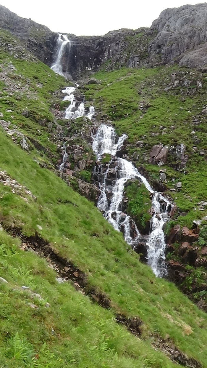
In some ways I thought this was the most beautiful part of the walk.
I had often looked at this view and wondered what it would be like to go up there.
Now I knew! It's lush and verdant in the high valleys where the waterfalls tumble, with treacherous but dramatic high cliffs and spectacular views at the top. Bidean nam Bian is one mountain I will definitely be climbing again!

That night I felt as if I'd conquered a beast, and I knew I'd earned a rest day. But first I had to face a night in the campsite without the company and reassuring presence of my friend in the next tent. We'd pitched our tents in a peaceful field where there were no other tents. Another couple had pitched their tent in the same field, but they had moved into the main camping area the following day, leaving my little tent all on its own in the big field!
I decided not to move it, as it was late when I got back to the campsite and cooked my evening meal. I just hoped that there wouldn't be another thunderstorm that night. I needed some sleep, and a rest day before I was ready to take on the next bagging challenge!
.gif)