I had heard about this legend of a hidden fortress in the 'Wonderland of Rocks' in Joshua Tree national park. Needless to say I was really intrigued and immediately started researching about it. It was called Oh-bay-yo-yo, and was built into a large overhanging boulder. It was rumored to have been built by teenagers from Twentynine Palms back in the 1930’s. They would store supplies in it for their regular hikes up to the Barker Dam to go swimming. So I got all the info and planned out a 3 day backpacking loop. I got all my gear together and headed out to the desert!
The start of the trail
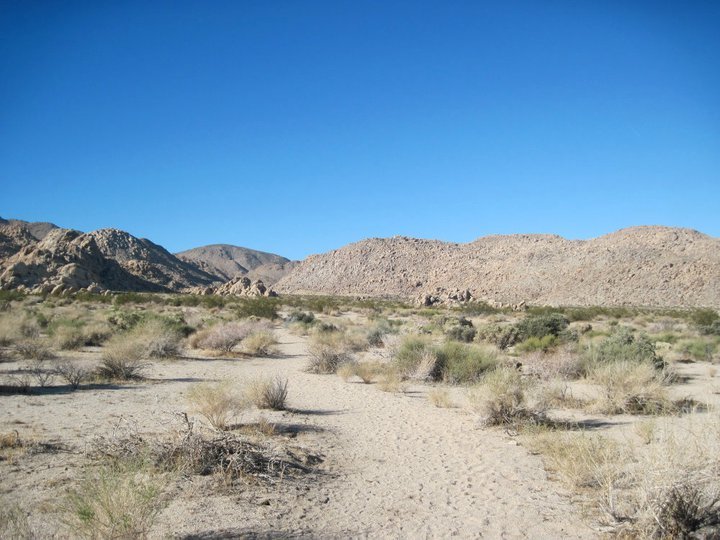
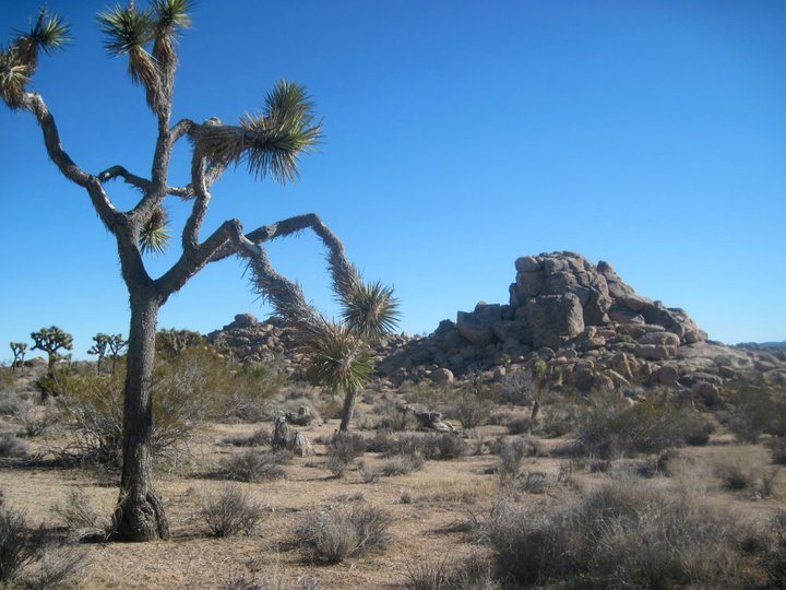
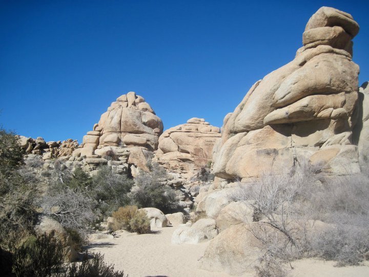
I started (and ended) this hike at the Indian Cove campground. I filled out my permit and headed out the "Boyscout trail". The trail headed across the desert through the yucca and creosote bushes towards the western edge of the Wonderland of rocks. I stopped to climb a few cool rock formations on the way and then headed up a big wash up into the mountains.
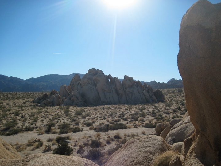
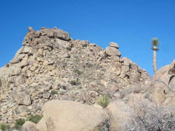
Rock formations
Getting on top of one of the rock formations
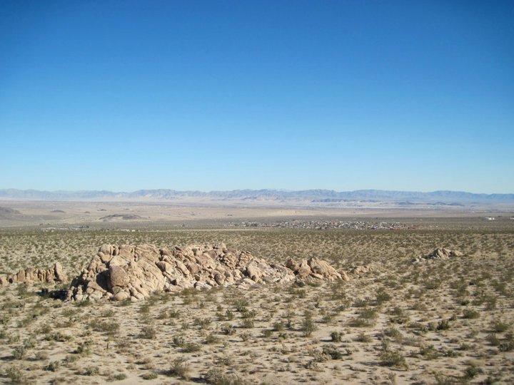
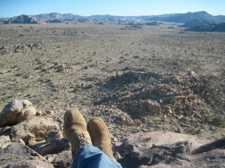
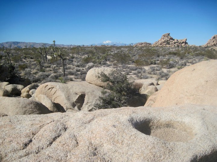
Views across the desert
Following the wash up into the mountains
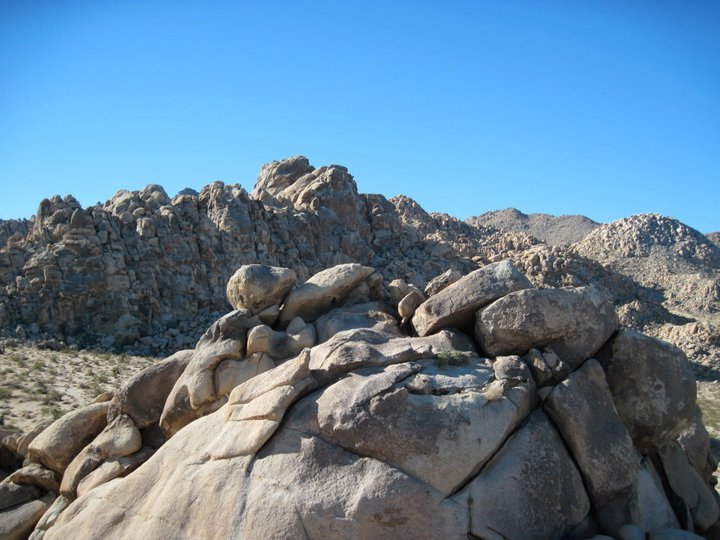
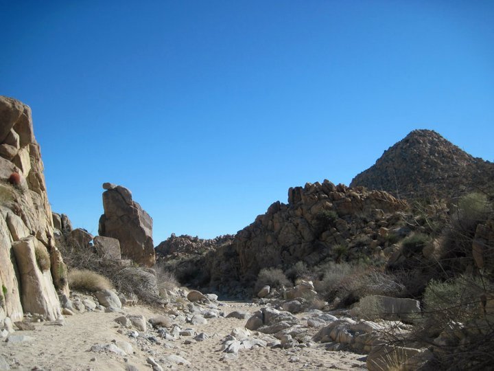
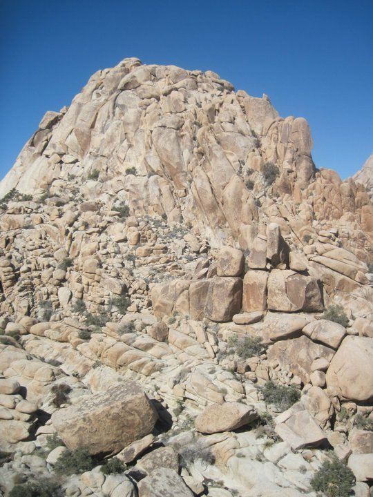
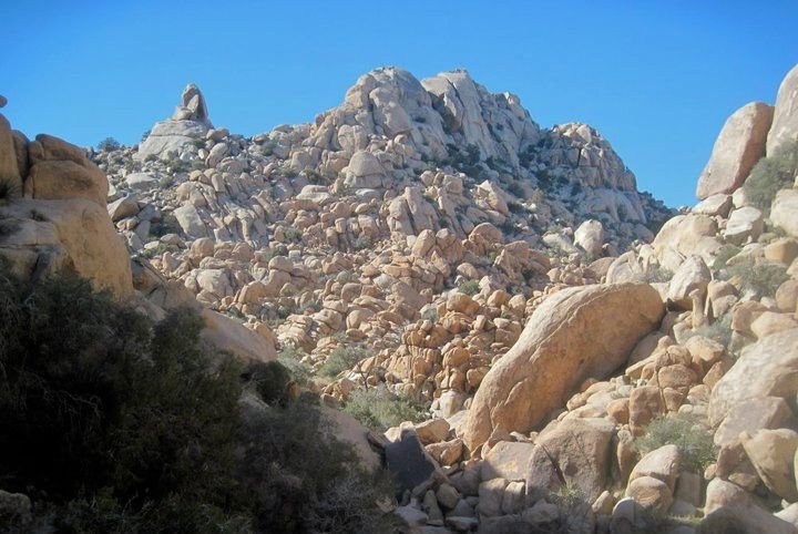
I continued up the wash a ways and eventually found the cairn marking the spot where I start to climb up through the mountains. As I got up into the mountains the rock formations got bigger and bigger. And there were also lots of really cool cacti including some huge 'red barrel' cacti. I took my time getting through this section. Stopping often to climb a boulder or check out the interesting desert flora. Eventually I made my way up through the mountains and into the main part of the park. Here the rock covered mountains gave way to a huge, flat, open valley full of Joshua trees. I continued another mile or so on the trail and then left the trail and headed west to find a spot to setup camp. It didn't take me long. I found a great spot, got the tent setup, and still had plenty of time in the day to explore the area. Checking out all the Joshua trees and climbing on the rock formations. It was a great spot to spend my first evening.
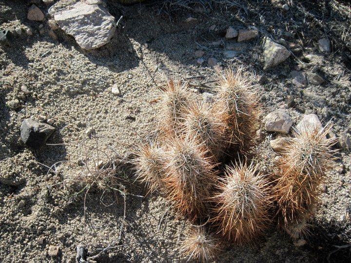
Cacti

Climbing up through the western edge of the Wonderland of Rocks
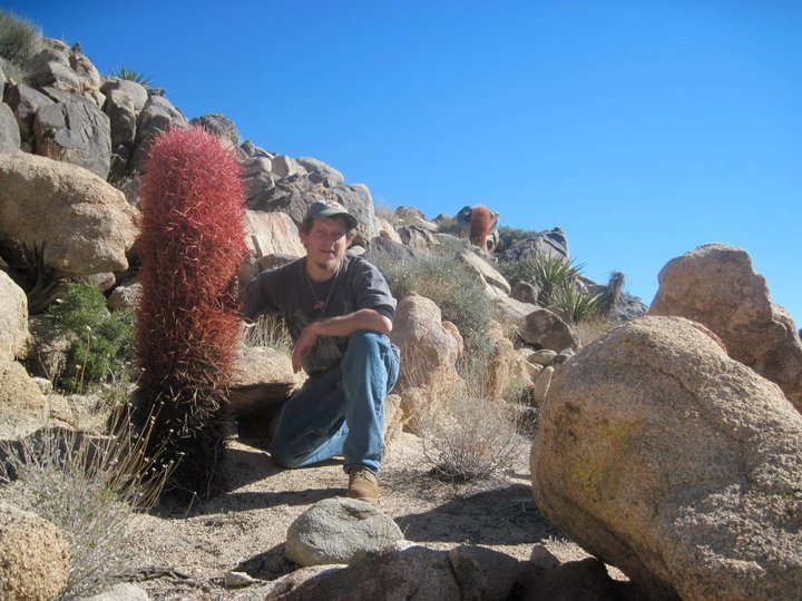
Huge Red Barrel cactus
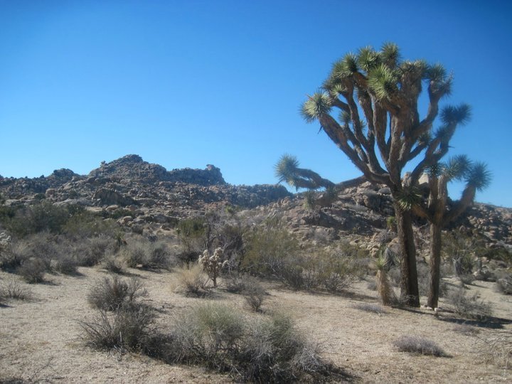
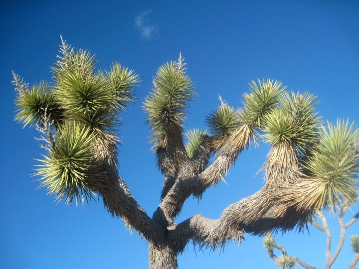
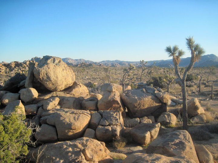
Some of the first Joshua trees of the trip
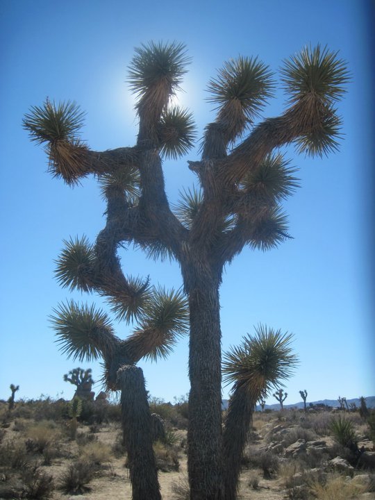
Joshua tree
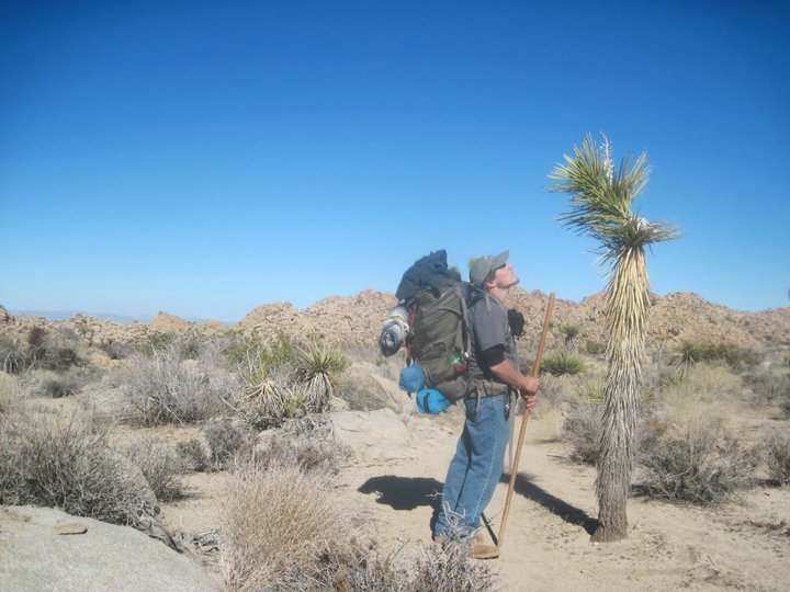
"Hey there Mr. J-tree know any good spots to camp around here?"
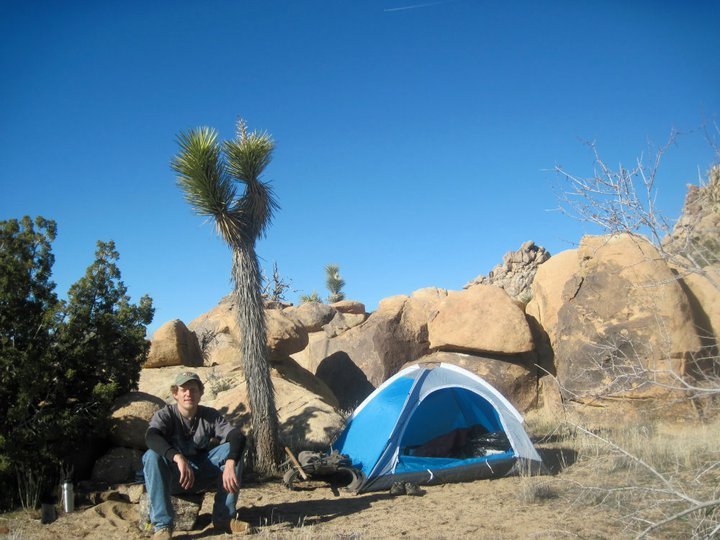
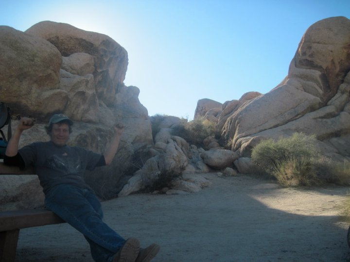
Camp
Time to climb some rocks!
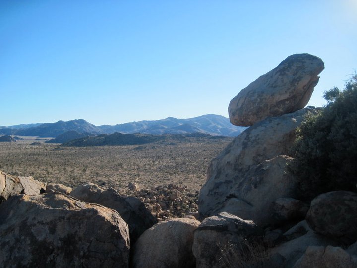
Enjoying the view from the rocks
 Climbing on the rock formations
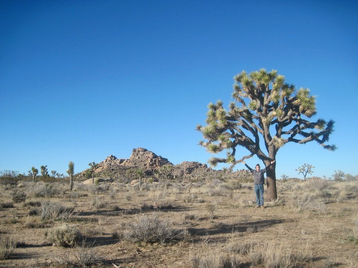
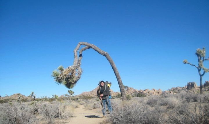
Checking out the Joshua trees
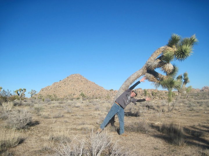
Playing with the J-trees
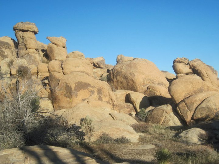
Rock formations
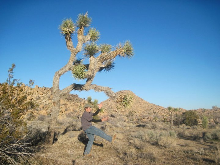
Playing with the J-trees
Views from camp
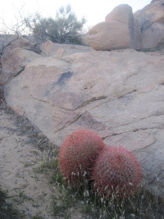
Two Red Barrel cacti by the camp
The next morning it was really cold, but I got up and got everything packed up. Today was the day I was going to try and penetrate into the heart of the Wonderland of Rocks and find the legendary Oh-bay-yo-yo! So I got back onto the Boyscout trail and followed it SSE across the valley passing all kinds of cool Joshua trees and rock formations finally reaching the trail junction where I turned NE onto the Willow hole trail.
Crossing the valley on the Boyscout trail
A Joshua tree hanging over the Boyscout trail
Looking back across the valley from the Willow hole trail junction
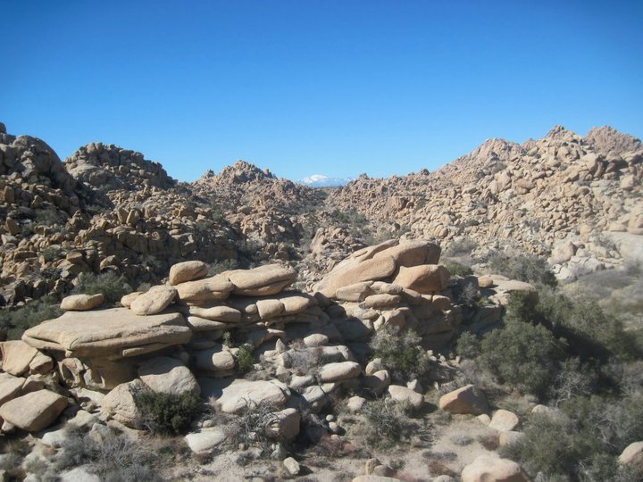
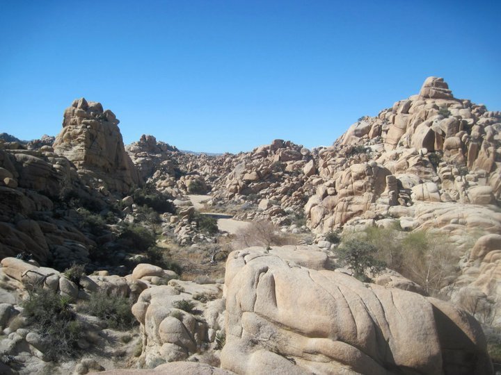
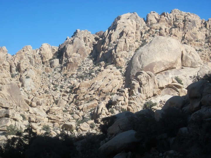
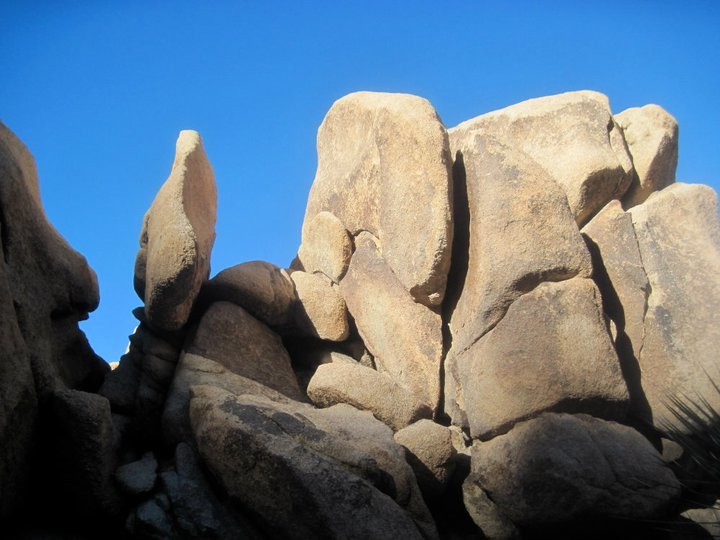
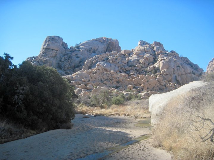
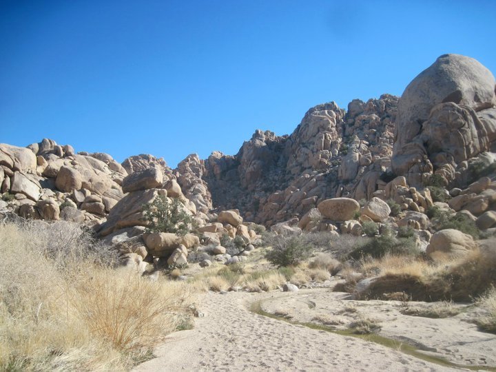
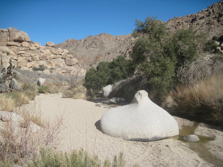
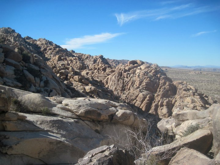
The Willow hole trail took me deep into the Wonderland of Rocks following a sandy wash through the maze of gigantic monzogranite rock formations. It got more and more impressive as I went. The sandy wash ended at a couple of tiny ponds surrounded by Willow trees... the "Willow Hole". I filtered some water from the pond and climbed up onto some of the rocks to get a good view and have a lunch break. This area of the Wonderland of Rocks is incredible! The Willow hole is surrounded by huge rock formations including the Mega Dome which towers over it all... all I can say is wow, this is a truly special place.
Entering the Wonderland of Rocks on the Willow Hole trail
The Wonderland of Rocks
The Wonderland of Rocks
Getting close to the Willow hole
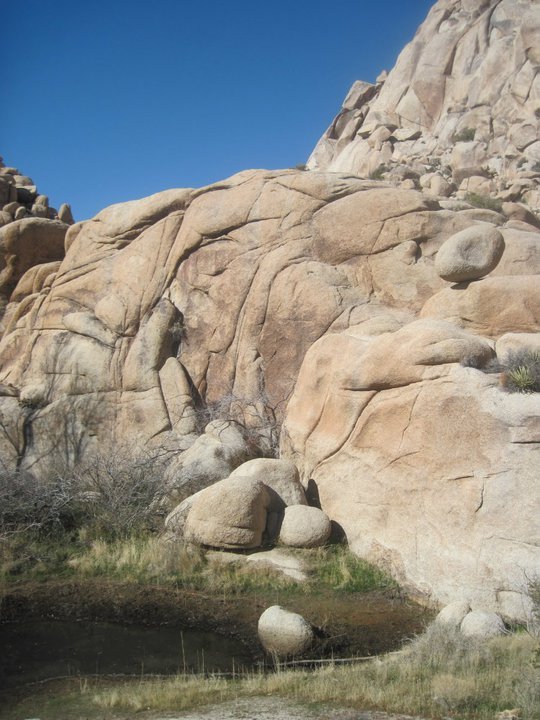
The Willow hole
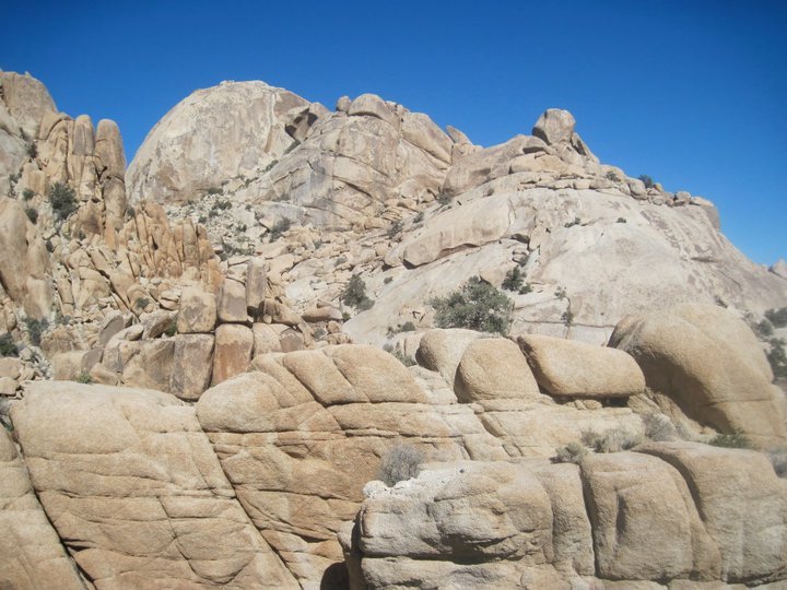
Views of Mega Dome from my lunch rocks
Lunchtime views
Lunchtime views
Overlooking the Willow Hole
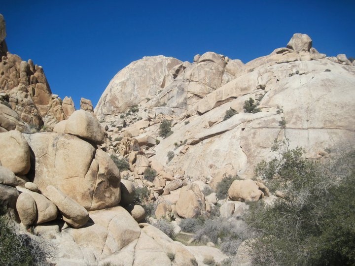
Mega Dome from the Willow Hole
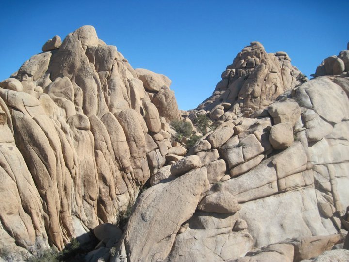
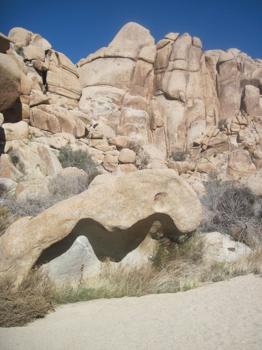
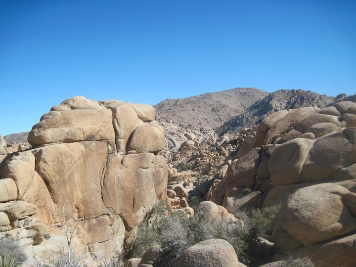
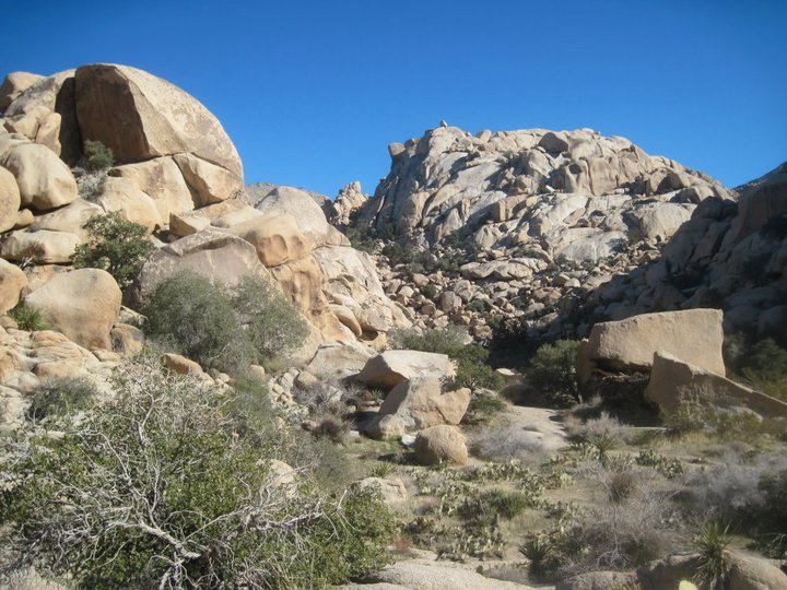
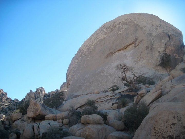
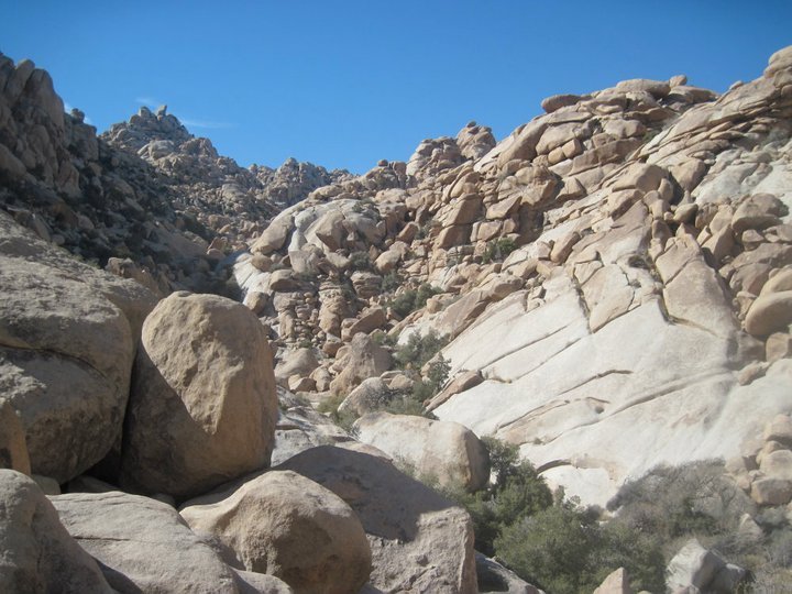
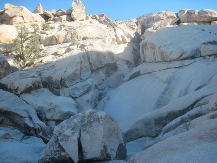
From the Willow Hole I continued beyond the trail, farther into the Wonderland of Rocks in search of Oh-bay-yo-yo. I climbed up over a rise, through a clearing, and dropped into a wash between the large boulder piles. From there the boulders just got larger and finding my way through them was getting quite difficult requiring lots of route finding and several technical down climbs. Huge boulders from the size of cars to the size of multiple story buildings! It truly is a Wonderland of Rocks. After painstakingly making my way through the boulders I arrived at a small open valley where multiple drainages merge. This was supposed to be the valley of Oh-Bay-Yo-Yo! I headed across the valley in search of the legendary fortress... and before long I had found it!! The rumors were true!! Oh-bay-yo-yo is real, and I found it!!!! After the difficult journey there I decided to take a little rest, and then I headed out to explore around the area a bit before settling into my boulder home for the night.
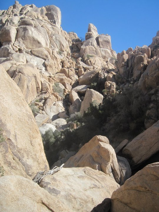
Working my way through the Wonderland of Rocks
The Wonderland of Rocks
Dropping into Oh-bay-yo-yo valley
Rocks... rocks everywhere!
Oh-bay-yo-yo valley
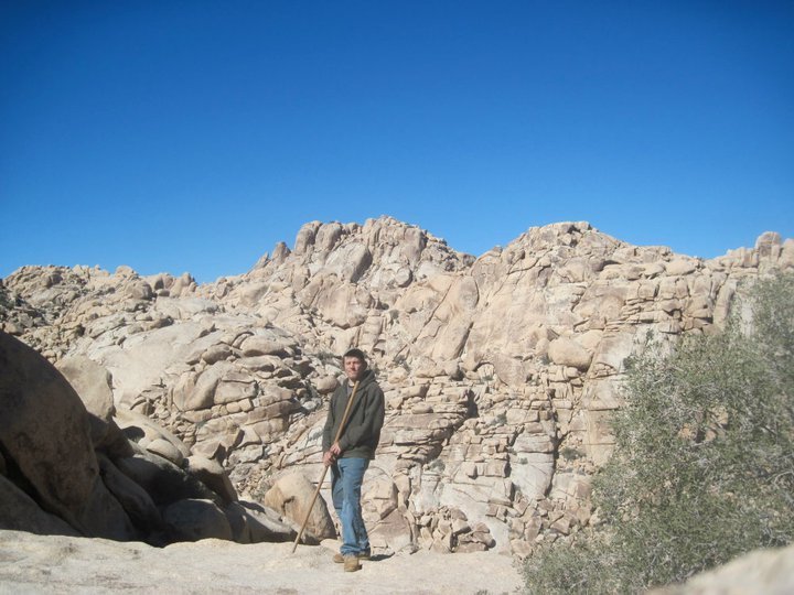
Oh-bay-yo-yo
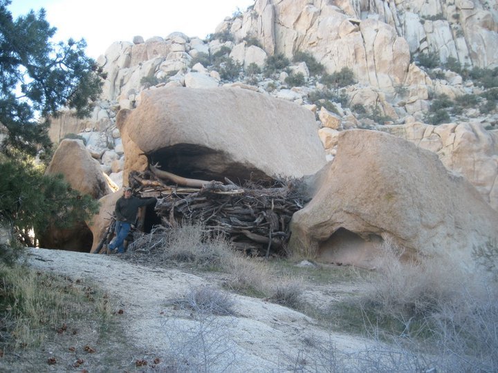
I found it!
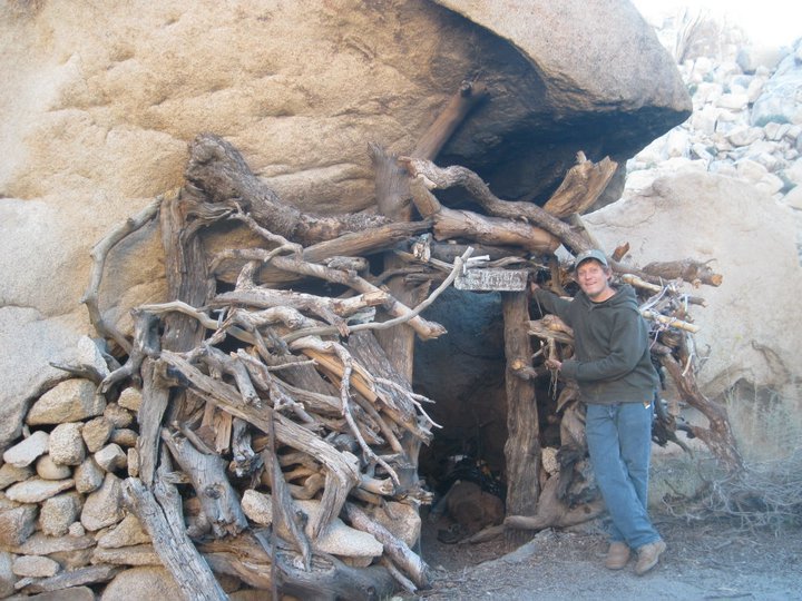
Welcome to my home for the night!
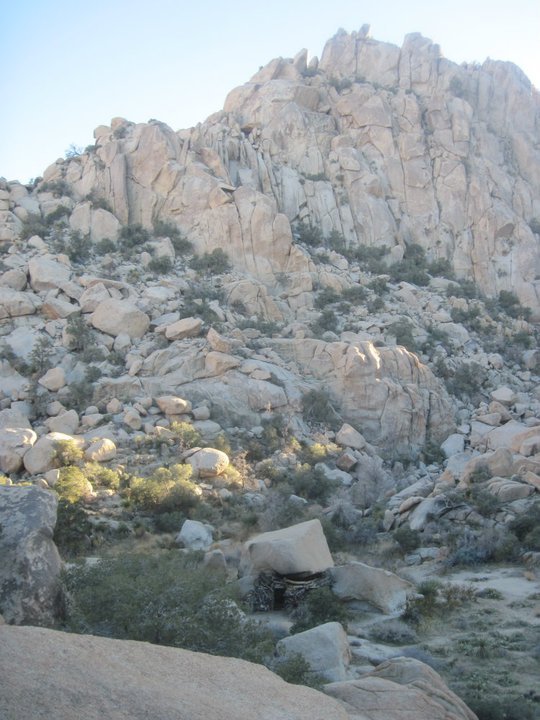
Overlooking Oh-bay-yo-yo
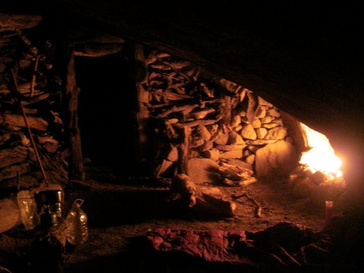
Night time inside Oh-bay-yo-yo
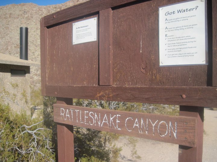
The next morning I woke up early and went outside because I had to pee and I was startled by a noise. I look up to see a heard of twenty or so bighorn sheep not very far away! But they had already noticed me and got startled and ran off up into the boulders before I could get any photos. It was incredible to see how easily they traverse such rugged terrain. I headed back to the fort and made some breakfast and had a leisurely morning before packing up and starting my journey out of the Wonderland of Rocks. I hiked across Oh-Bay-yo-yo valley and dropped down a rocky gulch full of huge boulders, caves, and dry waterfalls. This section was really tough and required a lot of route finding and patience and included several technical down climbs. But I got through it fine and reached Rattlesnake canyon.
Morning in Oh-bay-yo-yo valley
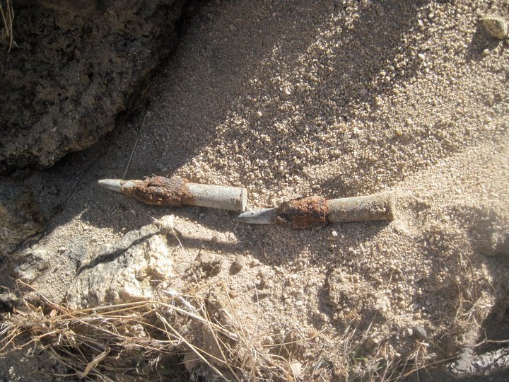
I found some old bullets in the middle of nowhere
Wonderland of Rocks
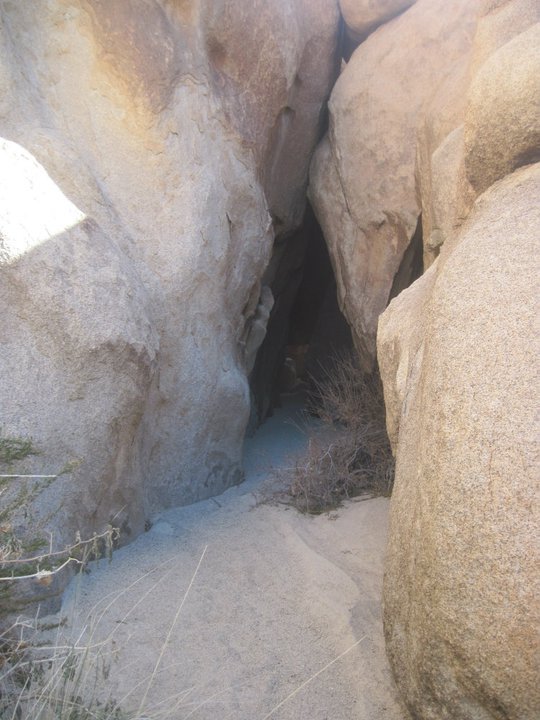
One of many caves in the boulders
Making my way down into Rattlesnake canyon
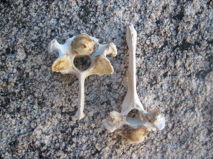
Some bones
Rattlesnake canyon
The sandy wash in the bottom of Rattlesnake canyon was much easier to follow. The canyon was actually very nice and even had a little water flowing in it. Getting near to the end of the canyon the water dropped into a narrow slot canyon filled with little potholes and waterfalls. Going down through this section requires several rappels so I opted for the high trail up and around the slot canyon, which provided some nice views. Not far beyond the slot canyon I reached the Rattlesnake canyon trailhead and my final destination at the Indian Cove campground where I had started this journey 2 day earlier. Success!!
Rattlesnake Canyon
Views from the high route around the slot canyon
Looking back up at the slot canyon
Rattlesnake canyon trailhead
Back at the Indian Cove campground after a successful adventure


 Map - !steemitworldmap 34.081686 lat -116.148916 long 'Oh-bay-yo-yo' D3SCR
http://www.steemitworldmap.com
https://www.facebook.com/CAmountainadventures
https://discord.gg/g22zkFD