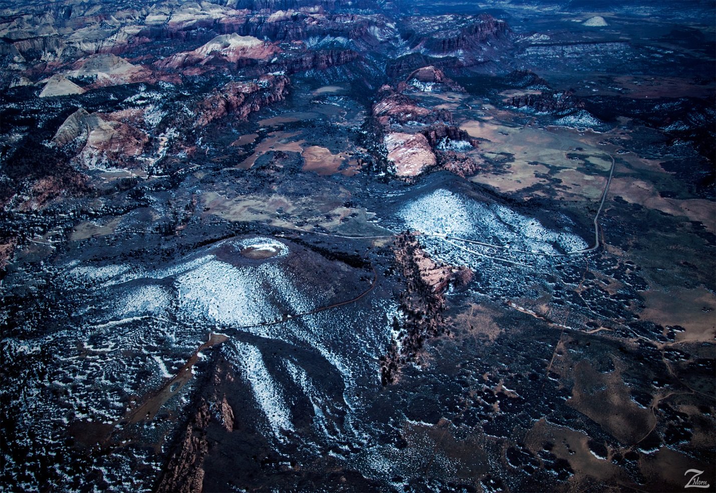
Firepit and Spendlove Knolls are located high on the Kolob Terrace. Zion's proximity to the Basin and Range Province caused relatively recent volcanism which rings the plateau. This volcanism takes the form of cinder cone volcanoes and basalt flows found throughout the Zion region with the last activity estimated to have occurred possibly only 1,000 years ago, a short time in geologic happenings!
This is calculated by the artifacts found embedded in lava around the park. The Firepit Knoll on the lower left and the Spendlove Knolls slightly above to the right are two nearly perfectly conical cinder cones located near the Kolob Road in the west- central part of the park.
These mark two of the volcanic vents associated with the Grapevine Wash basalt flows. Volcanic vents form with a weakening of the Earth’s crust during uplift events, allowing lava flows and cinder cones to form. Cinder is usually piled several hundred feet high in classic cone shapes and lava flowed outward and down into the valleys.
On the Kolob Terrace in the park you can see both Cinder cones and black basalt flows are visible just west of Rockville. Though this image is not super clear due to the necessity of cranking up the ISO due to low light, you can still clearly see the defined volcanic vent at the top of the Firepit Knoll.
This image was lensed late in the afternoon after the first small dusting of snow and while the snow has already begun to evaporate around the volcanoes it is still present on the north side of each due to the sun being so low in the winter sky. In the distance on the top right side of this image you can see the snow covered Tabernacle Dome.
From "Where Eagles Fly - The American Wilderness Expedition" my personal project of exploration in the North American Wilderness.
I'm on a mission to raise awareness of our Iconic Natural Heritage Treasures of North America.
Please re-steemit if you like what you see and want to help spread the word!
Yehaw!

