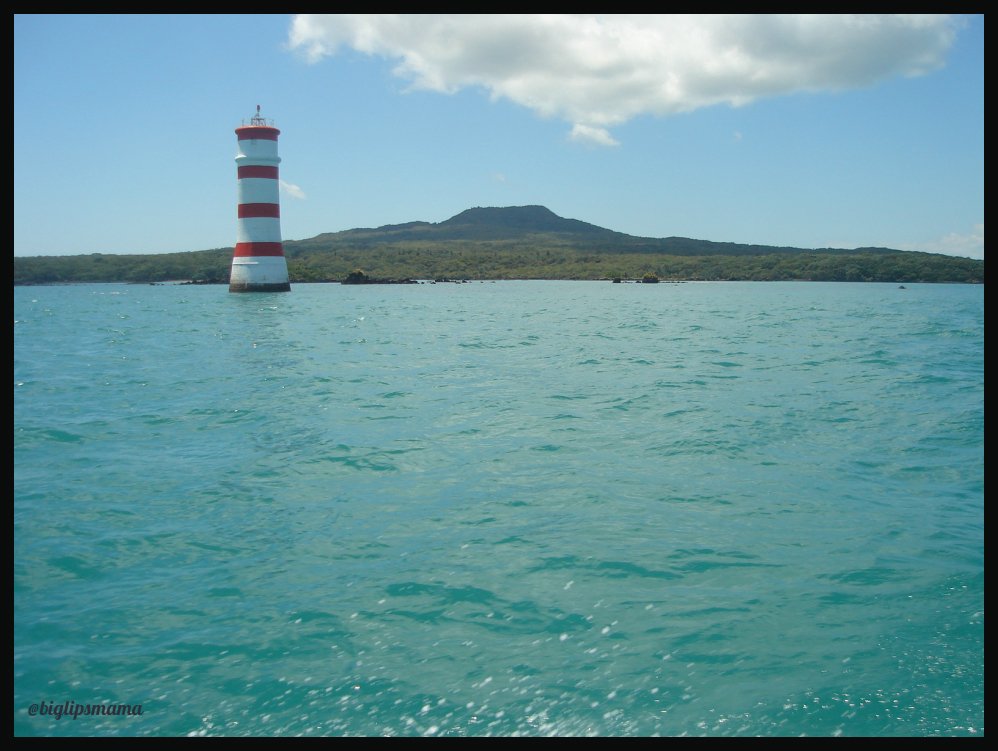
Front View Of Rangitoto Island From Facing Mission Bay Way
Rangitoto is a Volcanic Island sitting in the Hauraki Gulf which sometimes get classed as being apart of Auckland or near Auckland so you can pick either and you wont be wrong.
You can see Rangitoto from parts of Auckland also, but today's post we are getting up close and personal with the front and left side of Rangitoto, (the other side from where the ferries land on.)
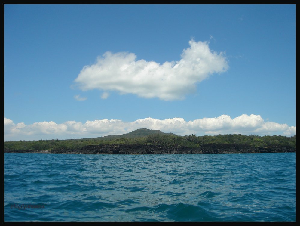
In the picture above you can't really see the rock formations, they look like lumps of rocks in this picture, but they are like natural pieces of art work up close.
Up Close, I think this was the left side of the island, not the front.
Rangitoto was formed by a series of eruptions commencing at least 6000 years ago.[7] The most recent eruptions occurred between 550 and 600 years ago in two episodes, 10 to 50 years apart, and are thought to have lasted for several years during the later shield-forming episode. The first recent episode erupted most of the volcanic ash that mantles neighbouring Motutapu Island, and produced the lower, northern scoria cone. The second episode built most of Rangitoto, erupting all the lava flows and main scoria cone at the apex.[8] The 2.3 cubic kilometres of material that erupted from the volcano was about equal to the combined mass produced by all the previous eruptions in the Auckland volcanic field, which were spread over more than 250,000 years.[6][9]
In 2013, scientists said new studies showed Rangitoto had been much more active in the past than previously thought, suggesting it had been active on and off for around 1000 years before the final eruptions around 550 years ago.[10] In February 2014 a 150m deep hole was drilled through the western flank of Rangitoto. This revealed a history of activity going back at least 6000 years, with the bulk of activity post-dating 3800 years. Contine To Source for more Information, History including Māori History of Rangitoto Island
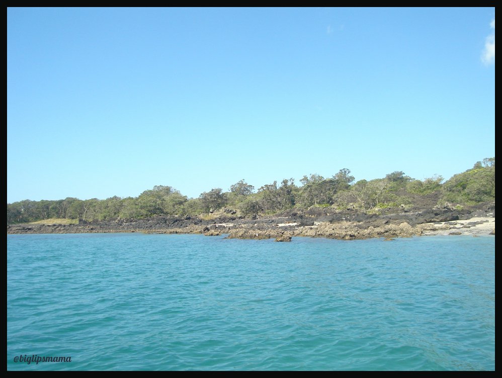
Left Side of Rangitoto, one of the in-coves
With Rangitoto Island being a scenic reserve, the council does allow day trippers to visit the Island, there is limited number of little huts for hire for over night.
I remember long ago as a kid climbing the summit it felt like it was so far away, very tiring walking up it.
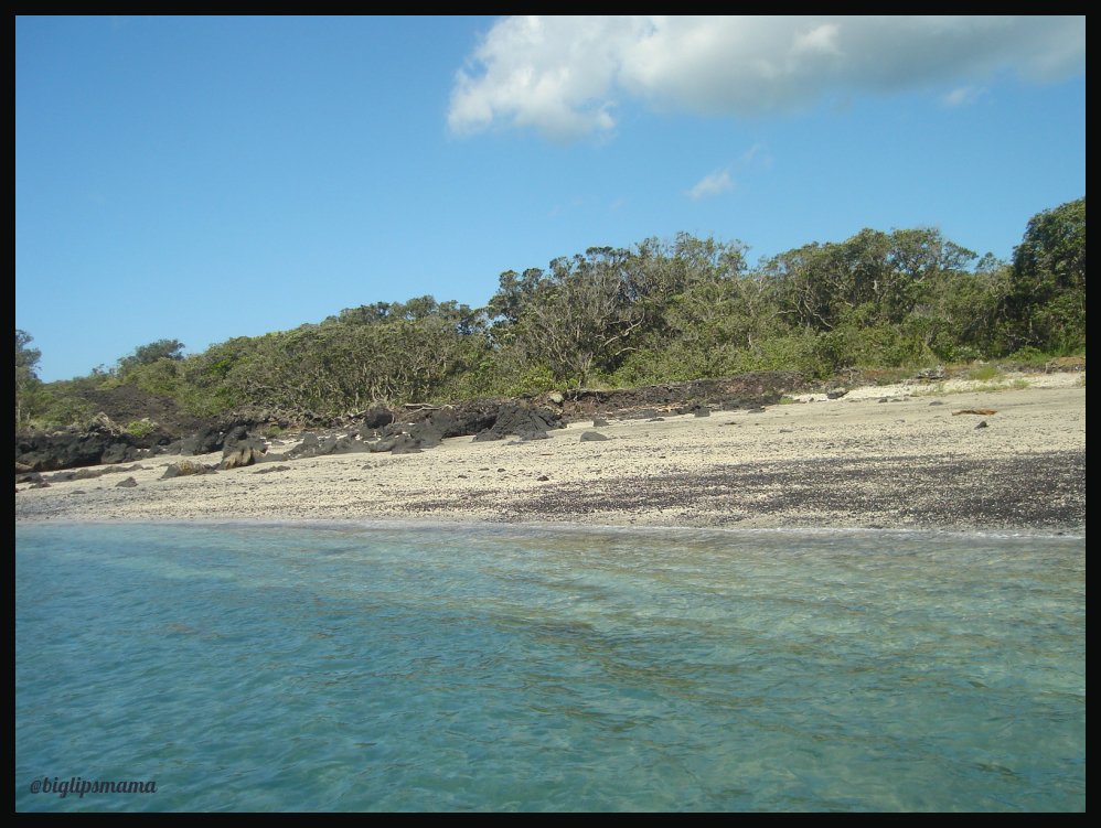
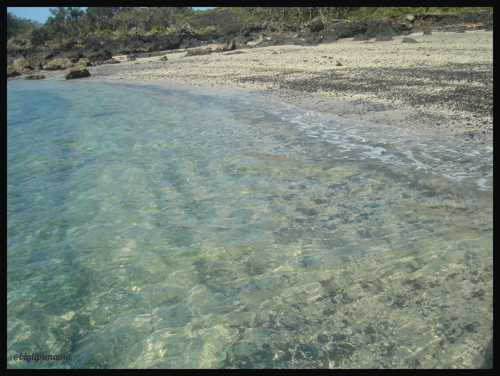
Getting Closer Into The In-Cove
The black little specs that are on the beach are little lava rocks.
Closer On In We Go
There wasn't much rubbish that had washed on up to the in-cove that we found, lots of glass that had been in the sea for some time that had been shaped and smoothed by it. We found a few heart shaped pieces of glass.
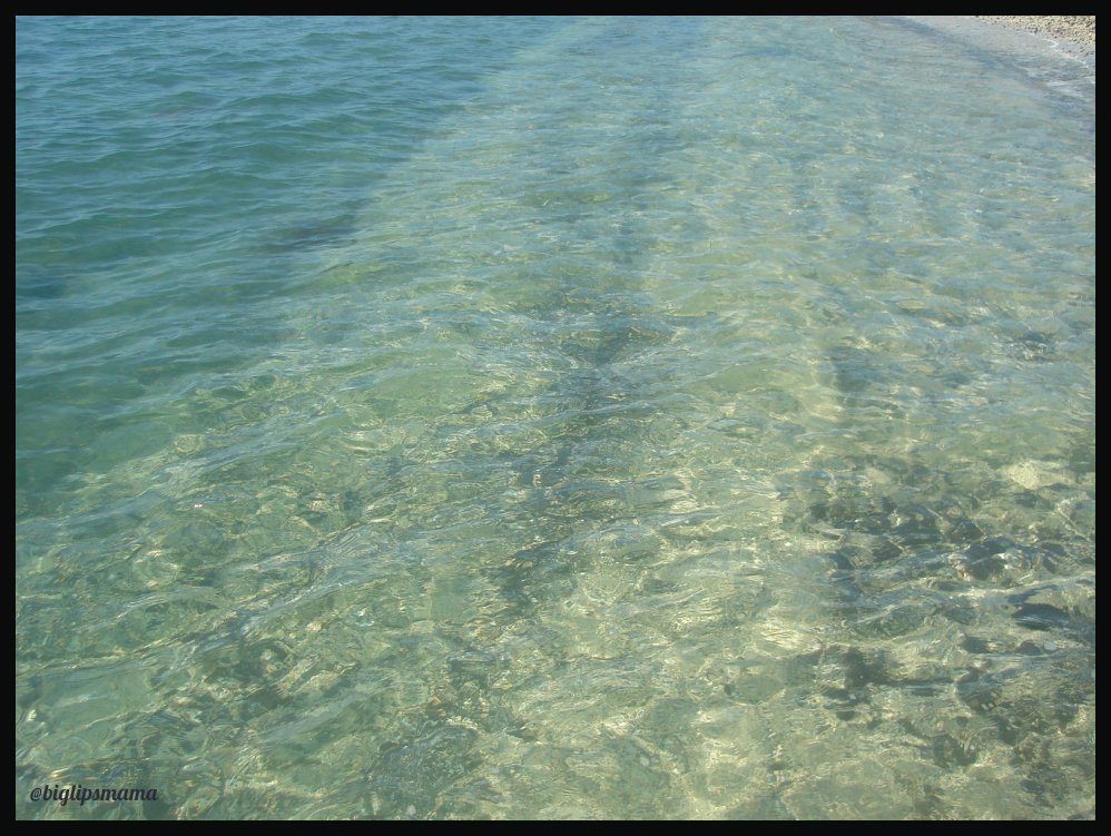
Tide Going Out
Hope you enjoyed our quick little tour of Rangitoto from the sea, this is a new series for us, we will do quick tours, and posts with loads of information on different sightseeing's, so stay tuned for the next sightseeing.
If you missed the first one Auckland From The Sea you can see it Here
Thank you for stopping by really appreciate it, have a fabulous Day/Evening!