My friend and I went out for a hike in the mountains surrounding Palm Desert, California this morning and decided to try the Bump and Grind Trail. The trail offers great views at the top and some interesting plant life along the way.
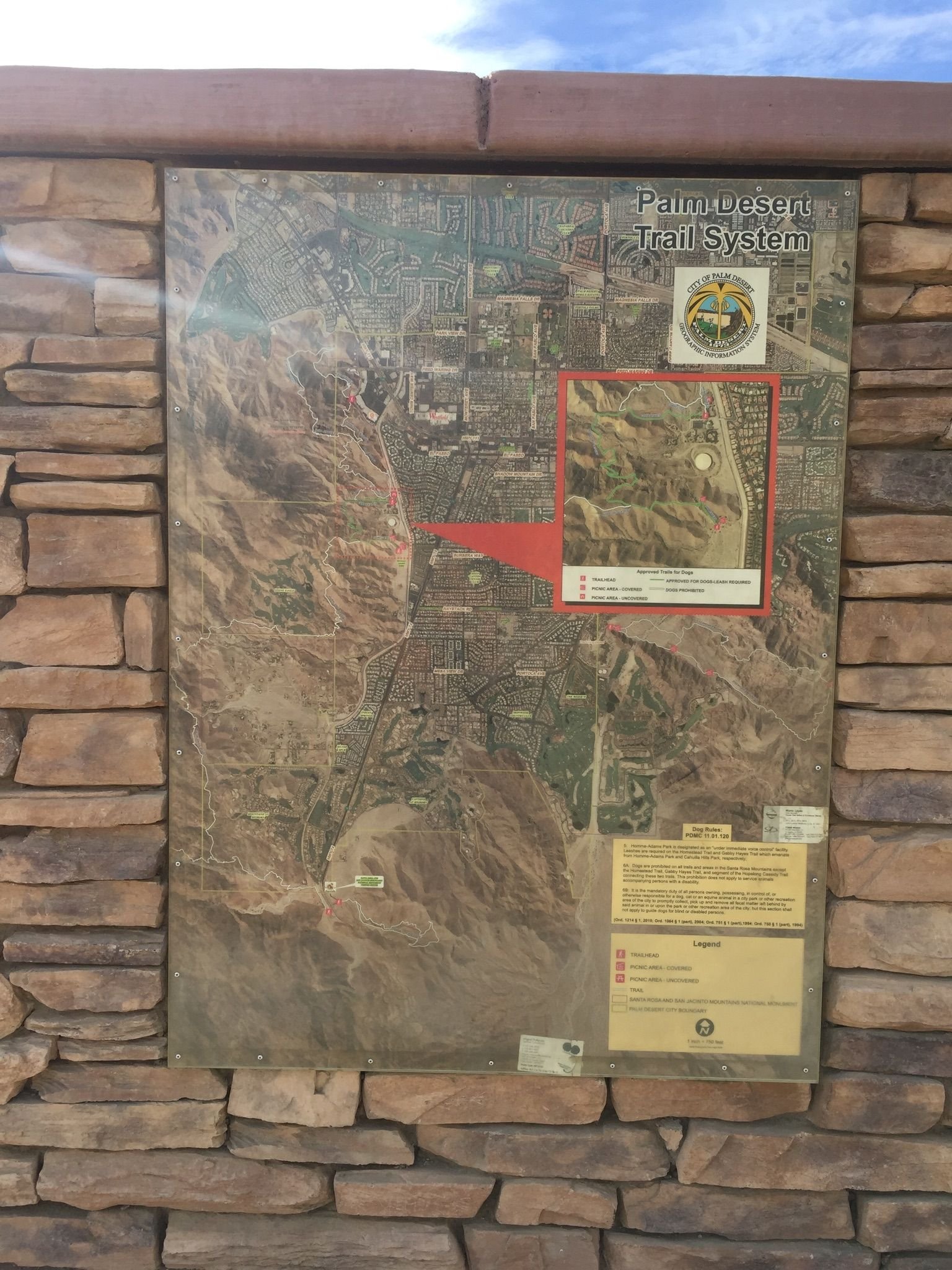
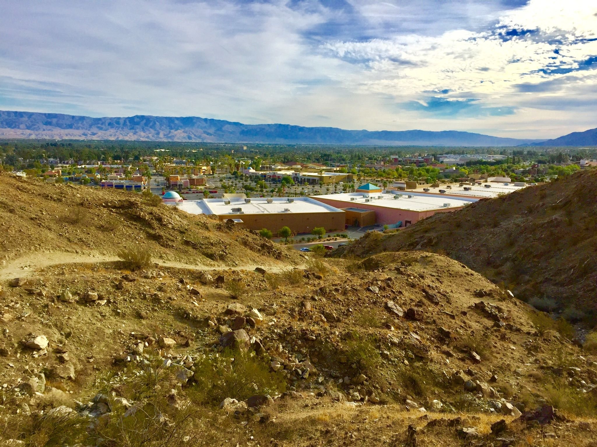
The trailhead is behind the Target along Route 111 near Fred Waring Drive. It is a very heavily traveled trail, so you won’t be alone on the trail. Everyone was very friendly and I got the feeling that this was the morning workout routine for many on the trail.
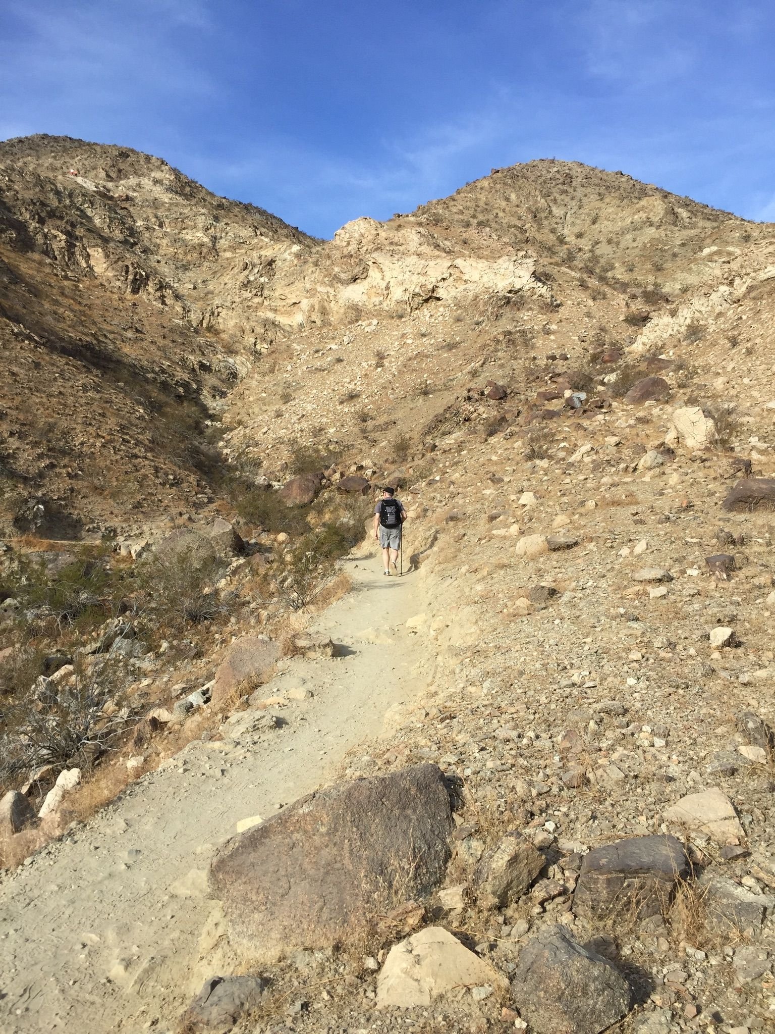
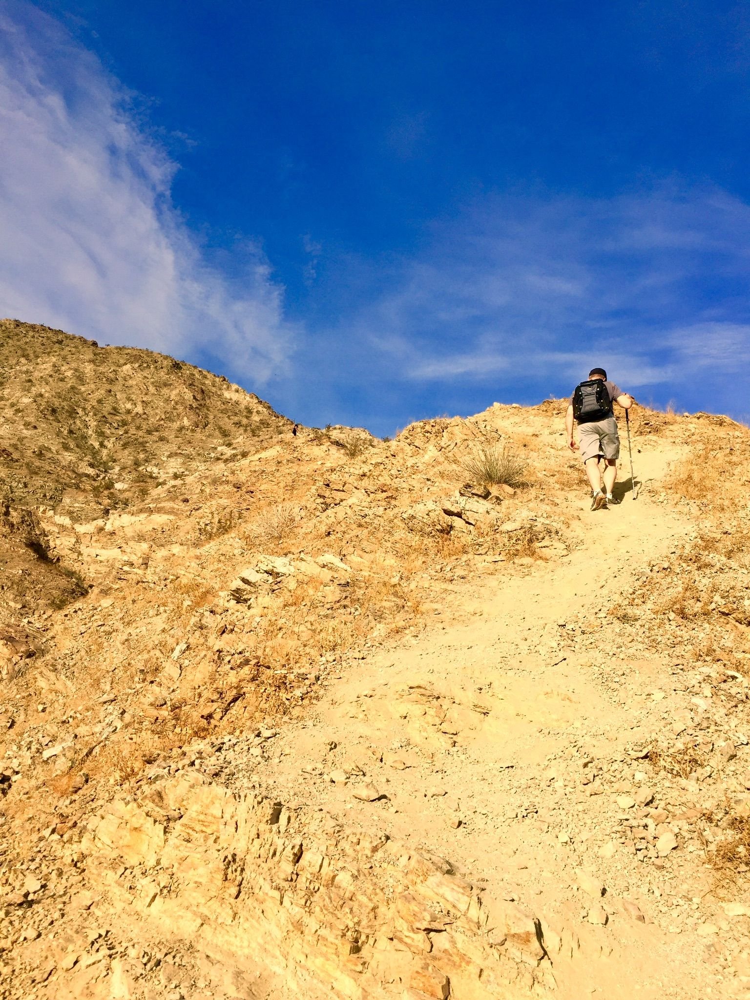
It’s a very exposed trail, so bring a big hat, plenty of water, and some sunscreen. It’s about two miles up to the peak and you climb over a thousand feet of elevation on the way up, so it was a great morning workout.
If you are going to do the full loop, going left at the trailhead will take you up the steep section first, and then you’ll have a longer winding decline coming back down the other side.
We decided to do the steep part on the way up, since my friend had running shoes that would have been very slippery coming down the steep sandy slopes.
This is looking back at where we parked the car behind the Target as we headed up the trail.
We followed a woman who looked like she knew what she was doing, but unfortunately she took an unmarked trail that went pretty much straight up the mountain.
We didn’t realize this until about halfway up when the barely visible trail became even less visible. We saw that someone had painted a message on one of the boulders that said...
Follow the white rabbit.
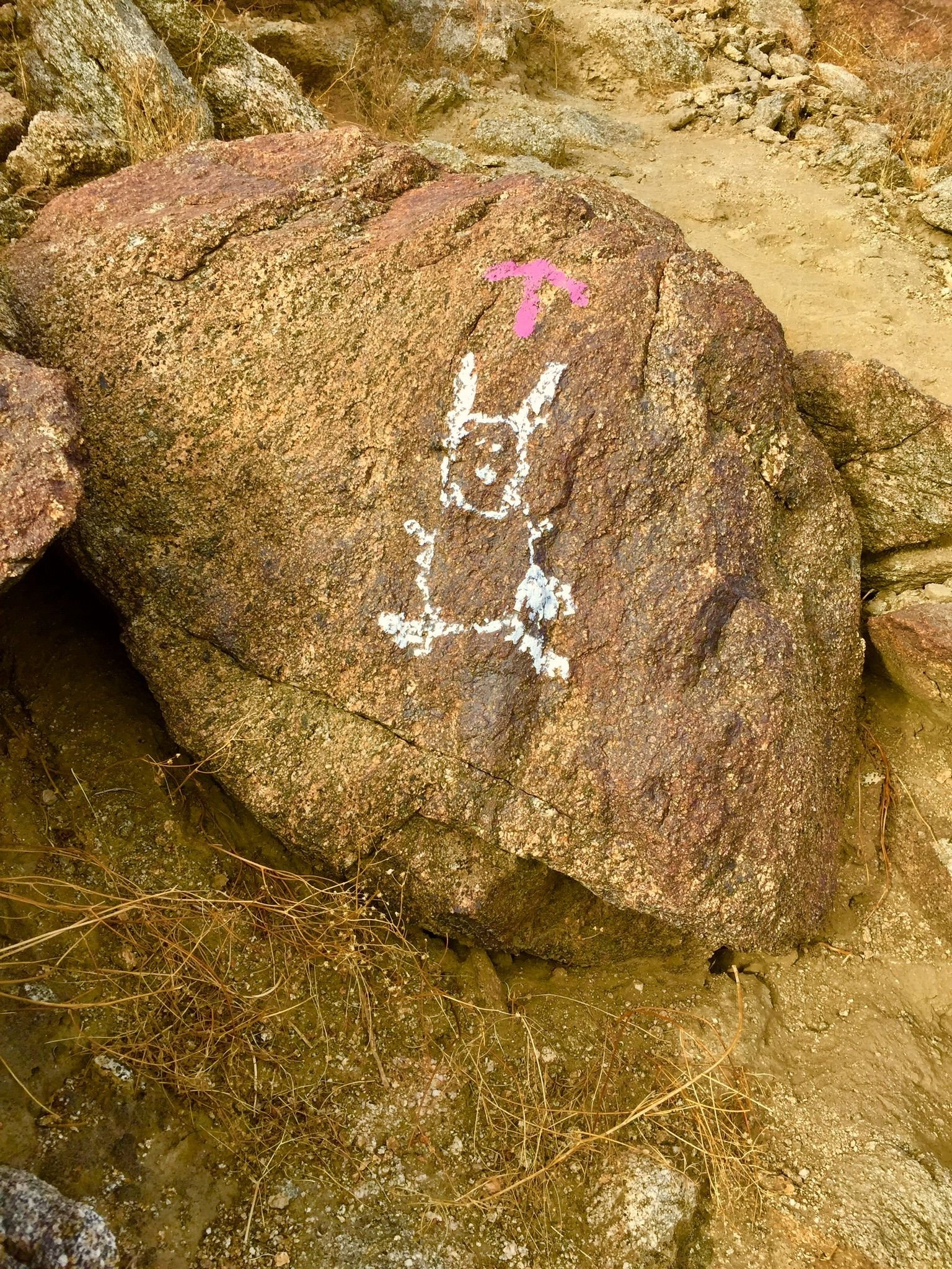
From that point, we were left to look for the “white rabbits” marking the direction up the steep rocky slope. It made our hike an interesting puzzle as we tried to look for the next white rabbit and the best route to get to it.
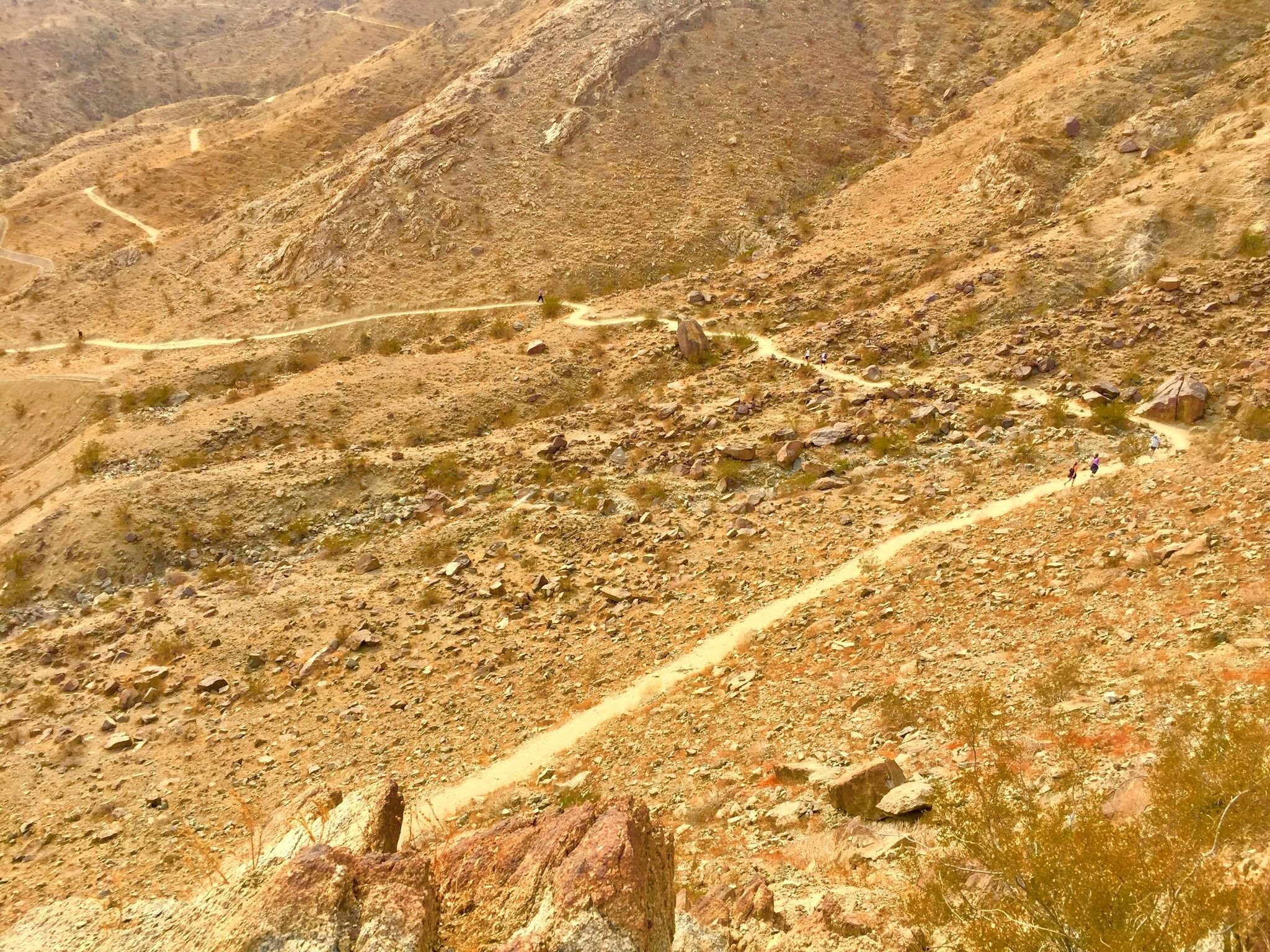
We picked up elevation very quickly and could see some of the other trails along the mountain.
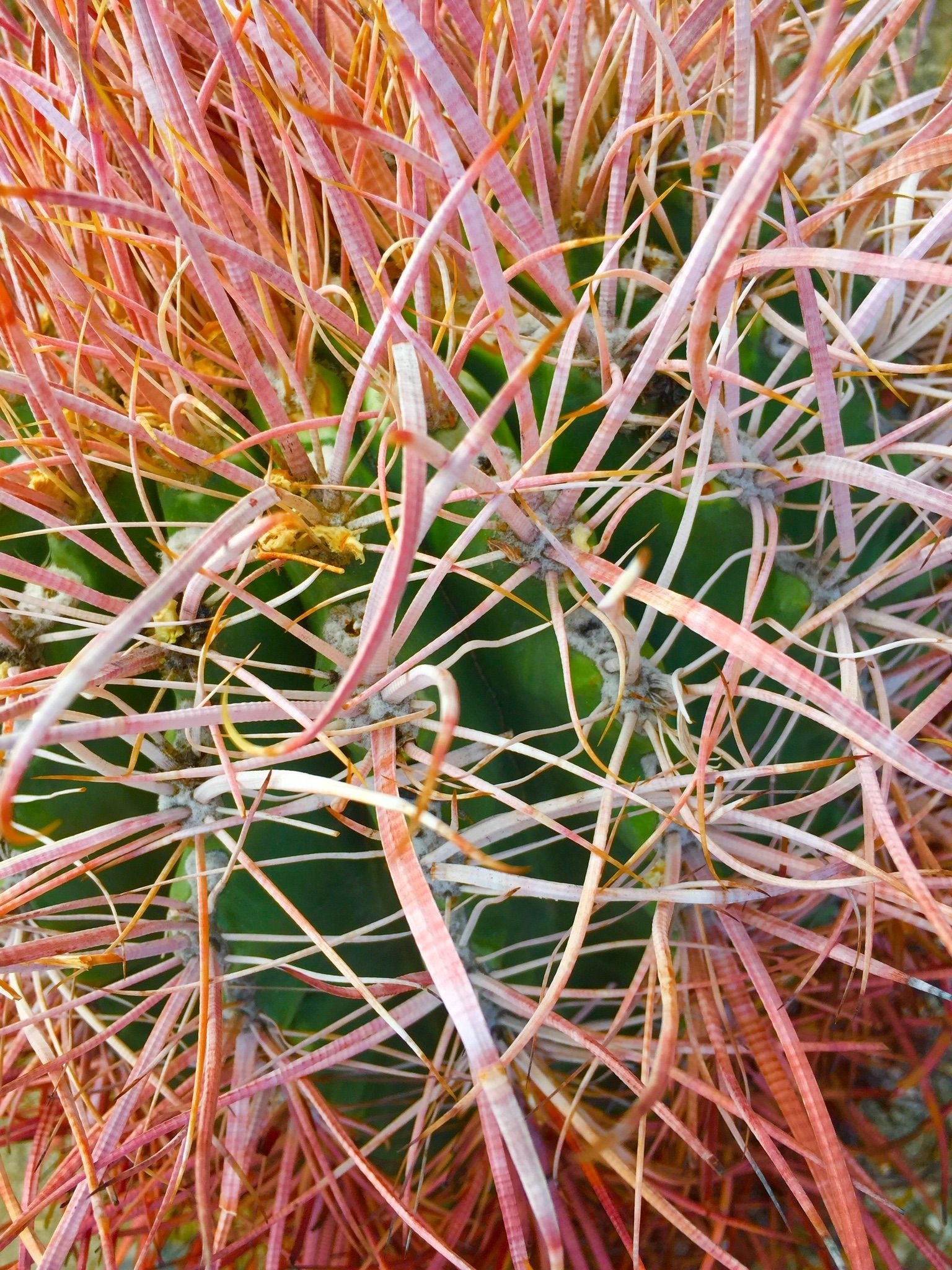
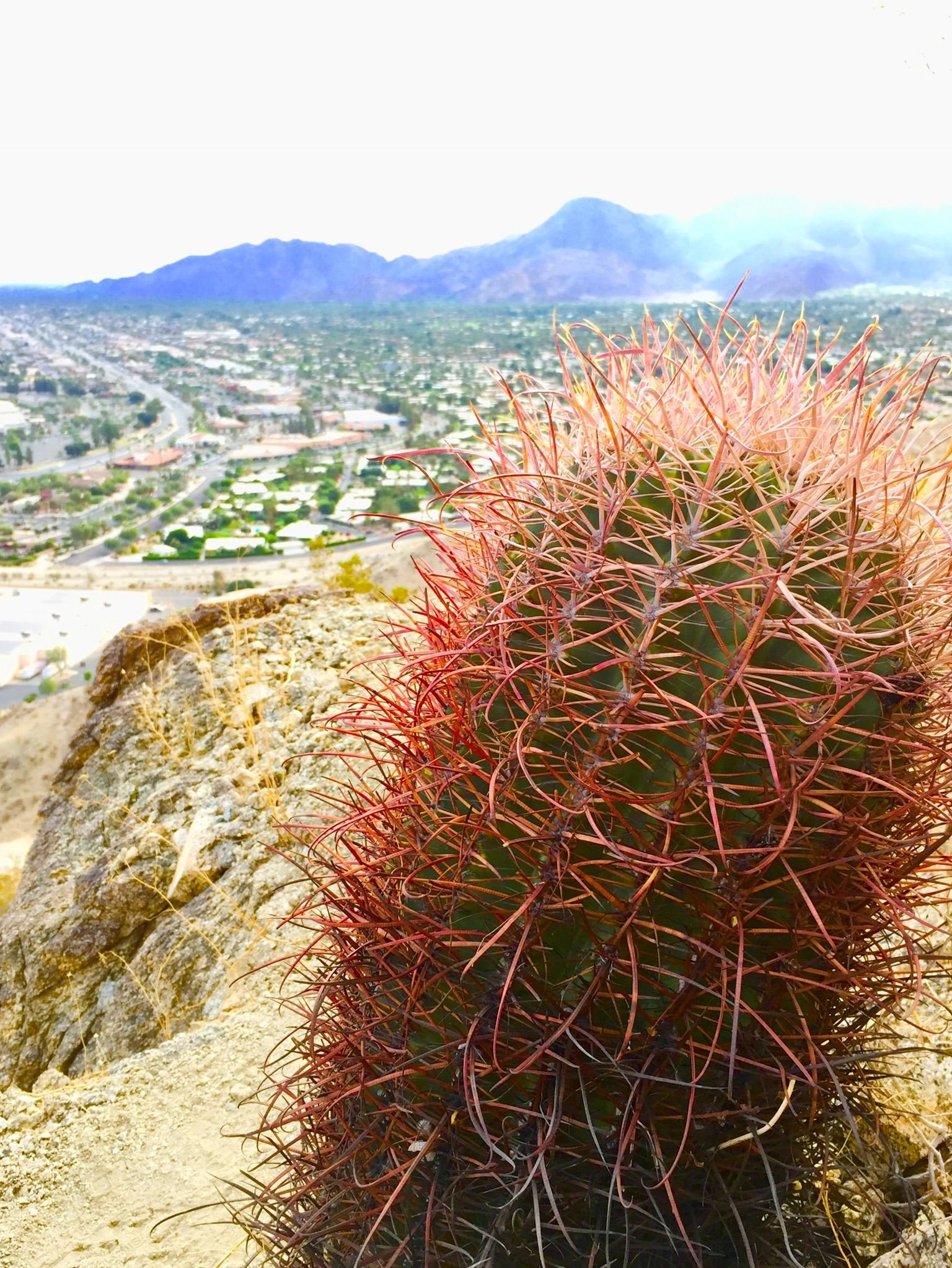
We saw some interesting reddish pink barrel Cacti along the side of our route.
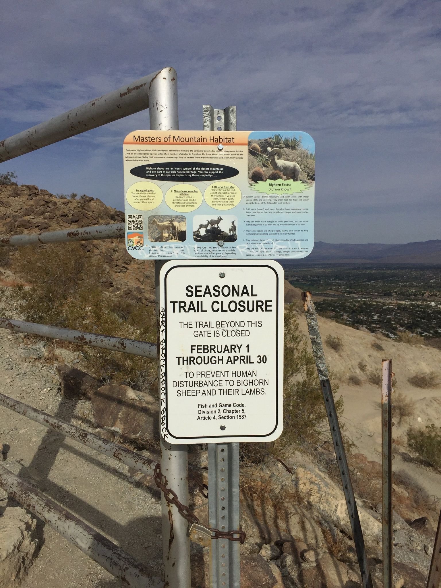
After the “rock climbing” part of our hike, we emerged onto the main trail and continued up to the peak. We went past the gate that closes off the trail during certain times of the year when the bighorn sheep need their privacy.
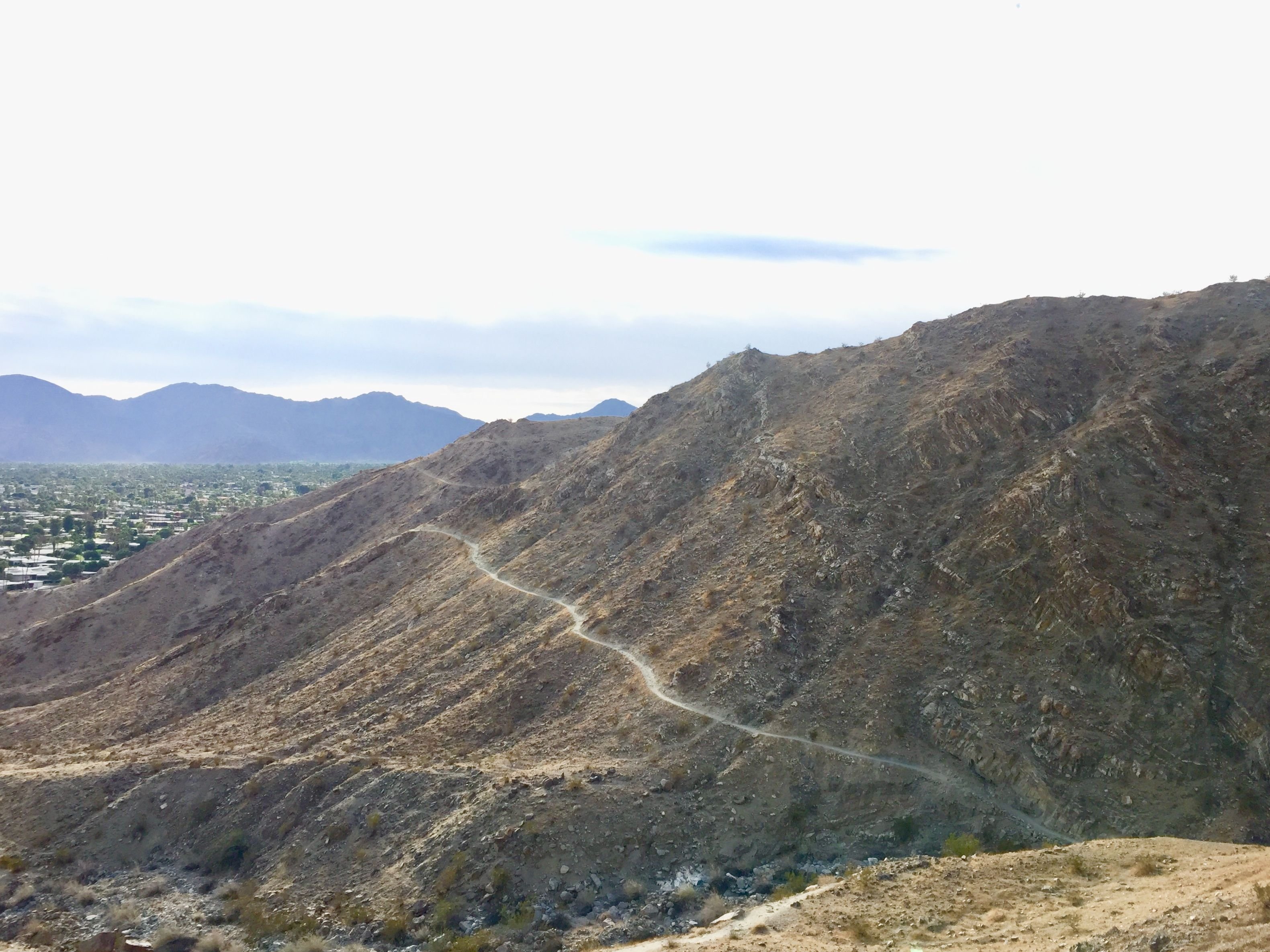
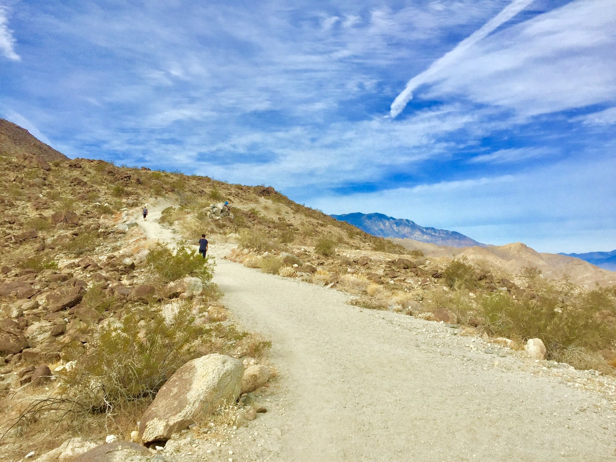
The trail from here on up to the top is wide enough for a vehicle to use and was a welcome change from our previous rock scramble.
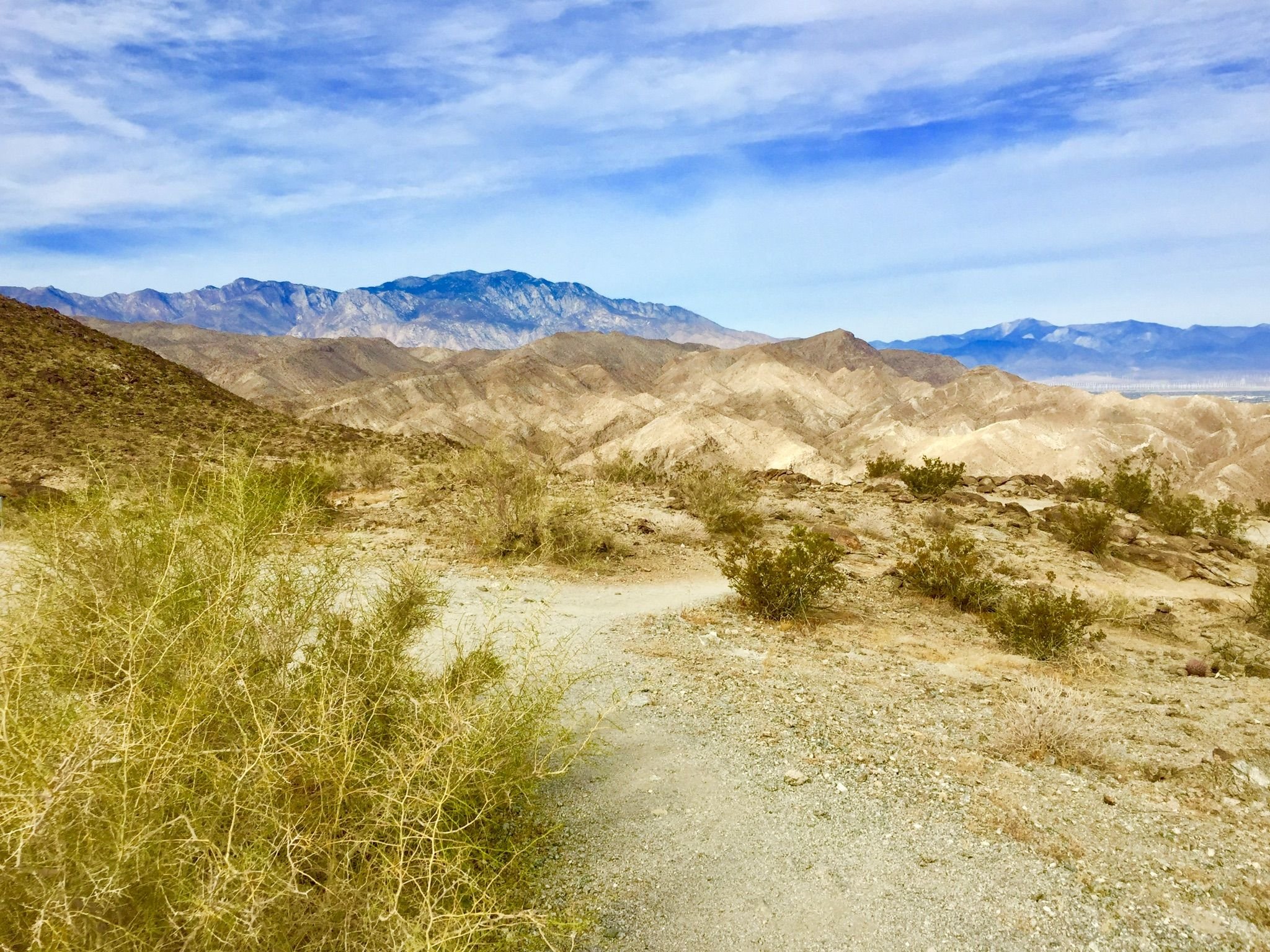
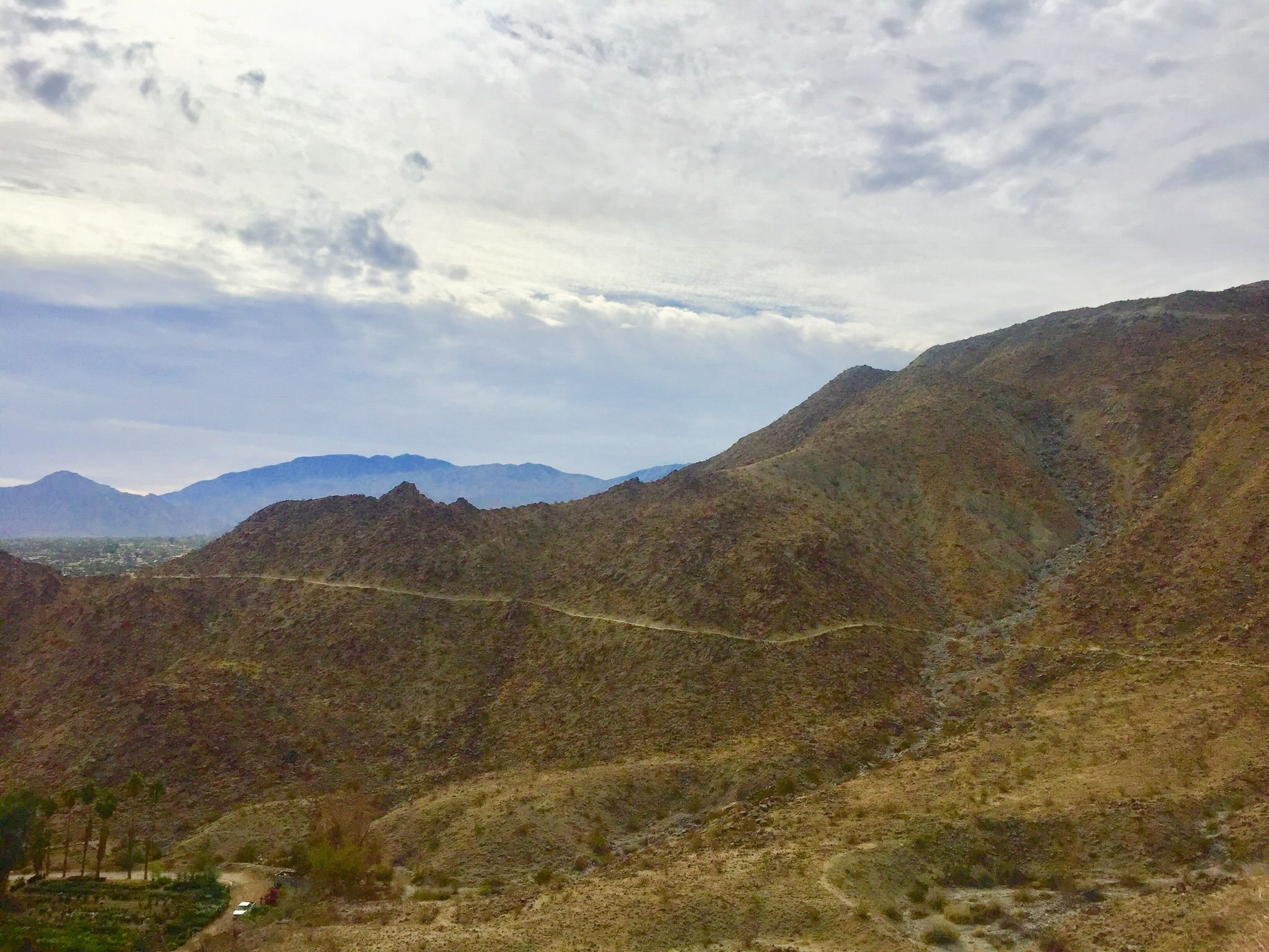
The view from the top gives great views of the surrounding mountain ranges. I am curious about the differences in the rock color of each range.
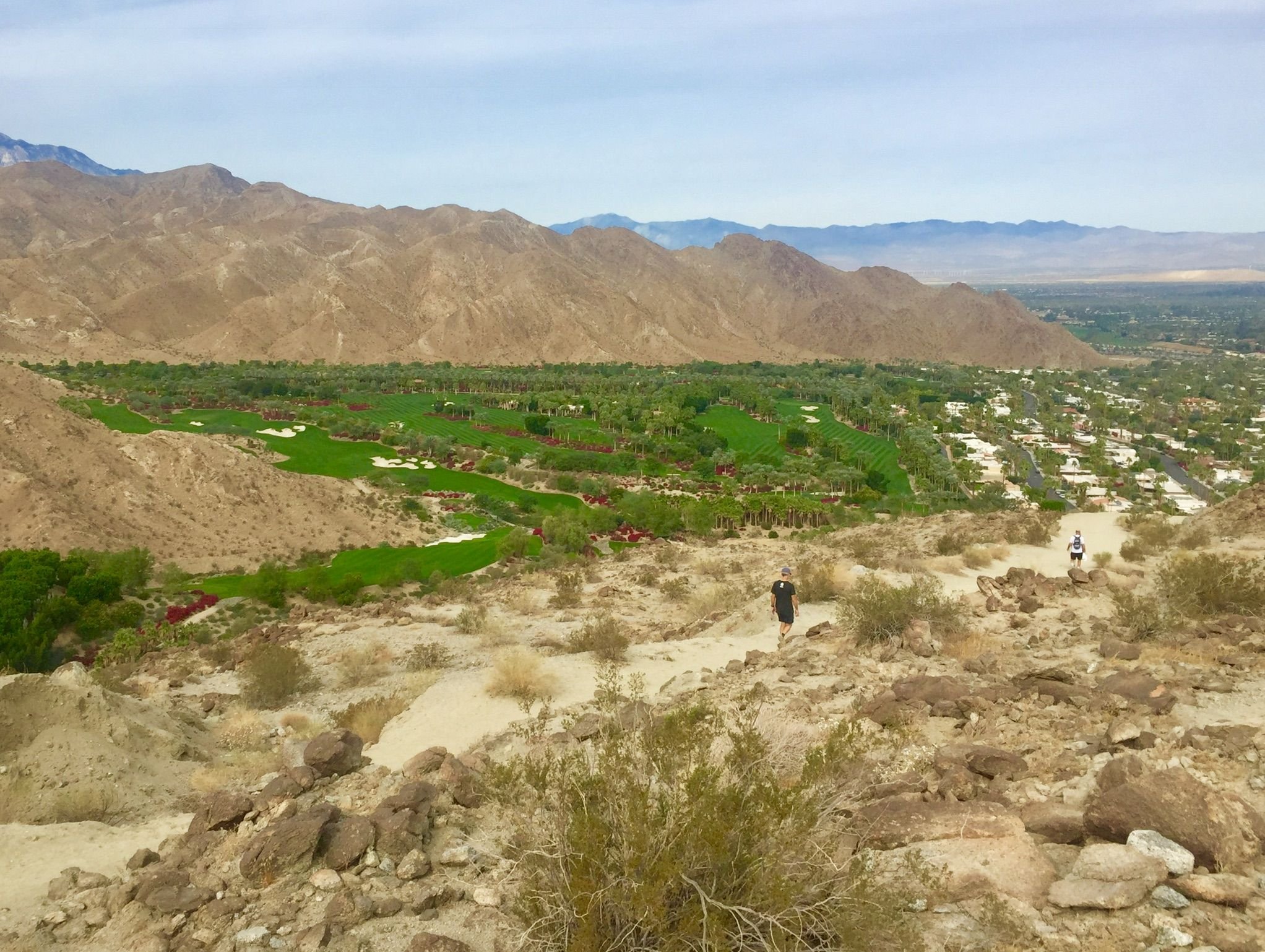
Coming down the back side offered a great view of a golf course down in the valley. All that greenery looks very out of place in this terrain.
The return trail is gradually sloped and if you aren’t up for the steep route, you can take this route both up and down. We even saw a mountain biker coming up the trail.
!steemitworldmap 33.725339 lat -116.405929 long Bump and Grind Trail d3scr
I think if I lived here full time, I would definitely incorporate this trail into my regular workout routine.