I drove up highway 395 to Bishop and up Bishop creek to join my mom and my cousin for an 8 day backpacking adventure starting from the North lake trailhead and ending at the South lake trailhead. We started out hiking up the north fork of Bishop creek to Piute pass through some really amazing fall color. The aspens were just glowing yellow and orange! We dropped our backpacks at the pass and headed cross country across Humphreys basin and then made the long climb up to the summit Mt. Emerson(13,204')! After enjoying the incredible views from the summit we headed back down to Piute pass and picked up our packs and crossed over to the other side of Humphreys basin and found a great spot to setup our first camp at the very impressive Muriel lake. Some clouds were moving in and gave us some little snow flurries and some distant thunder which made for a pleasant first evening.
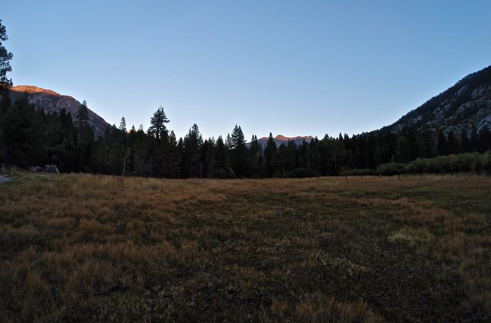
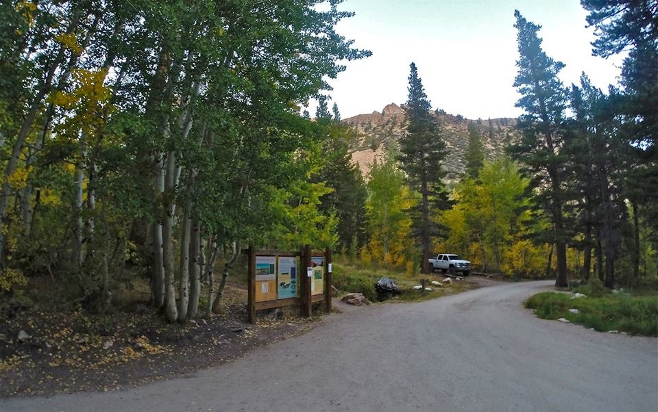 North lake trailhead
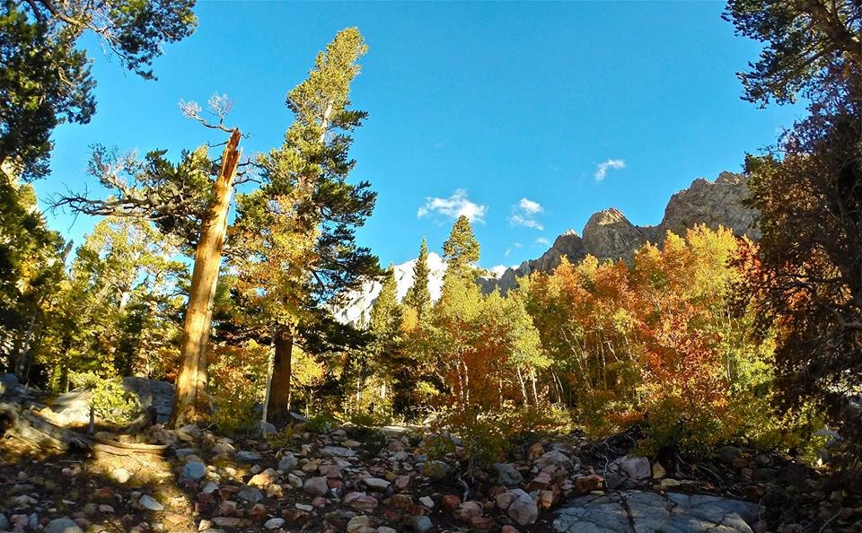
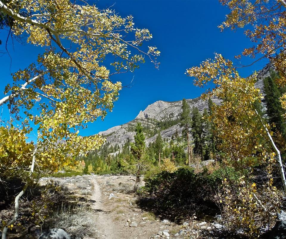
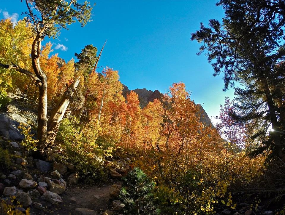 Fall colors on the trail
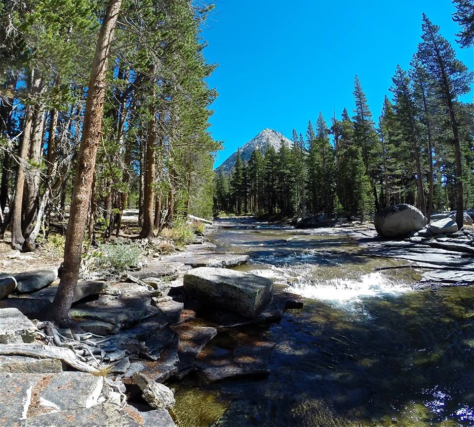
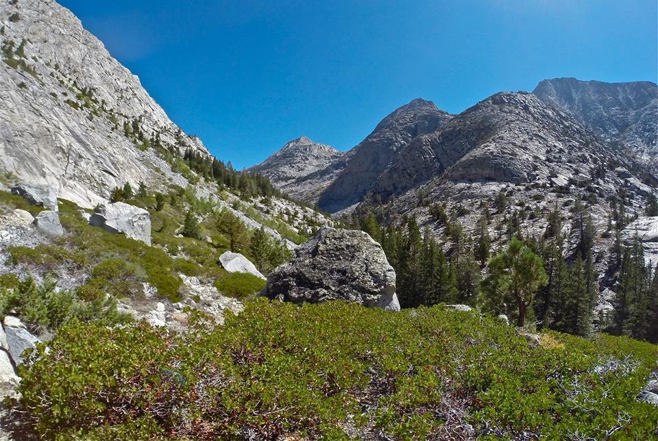
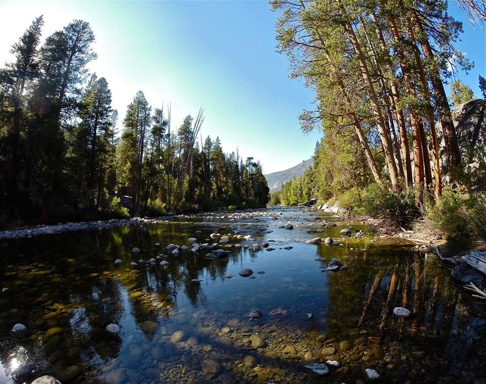
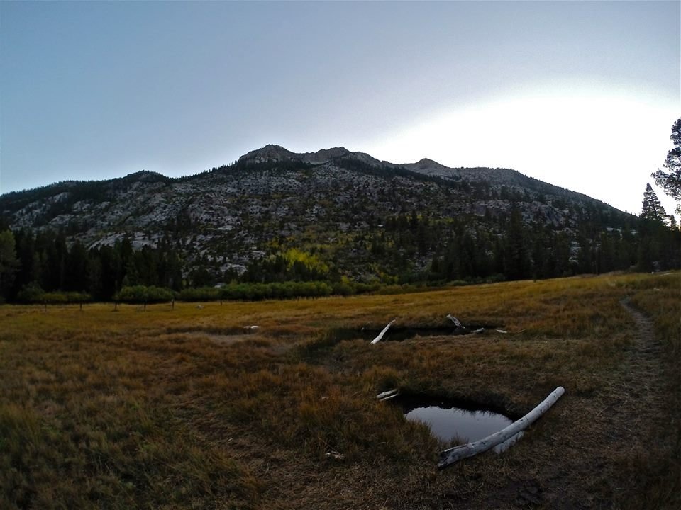
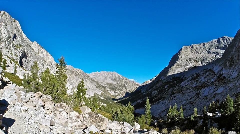
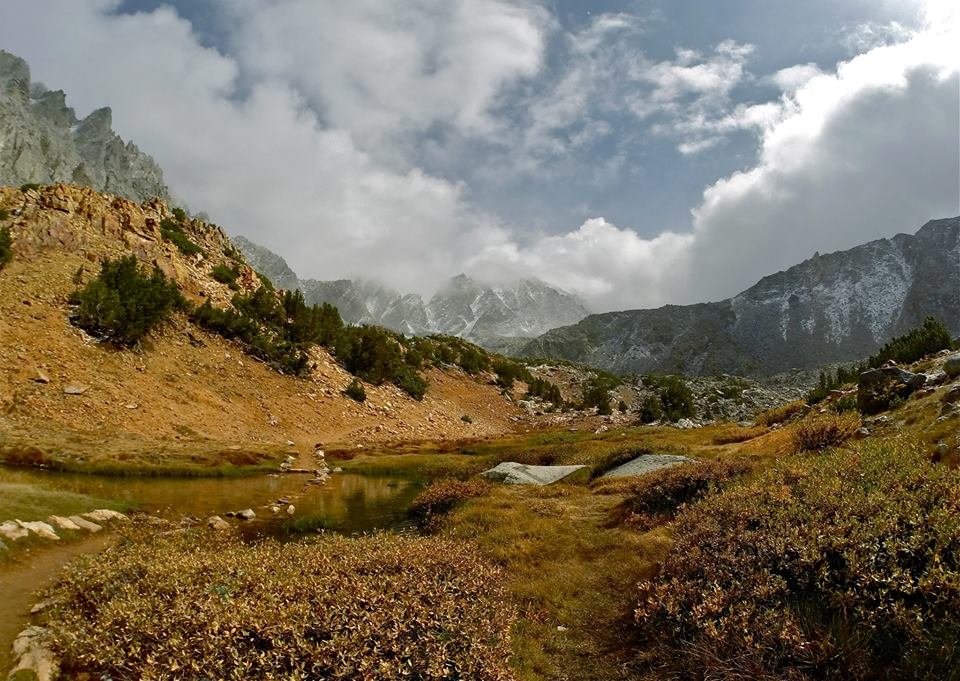
 The north fork of Bishop creek
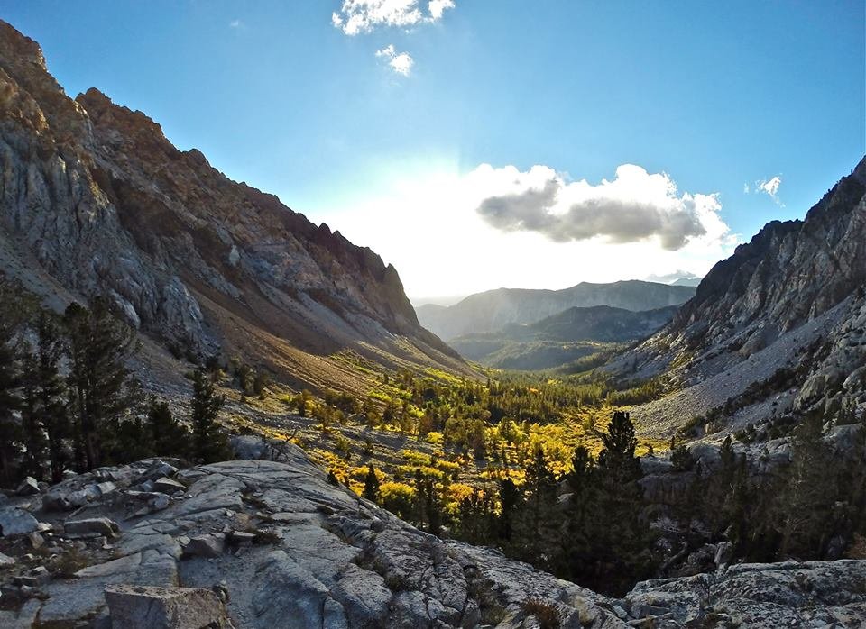
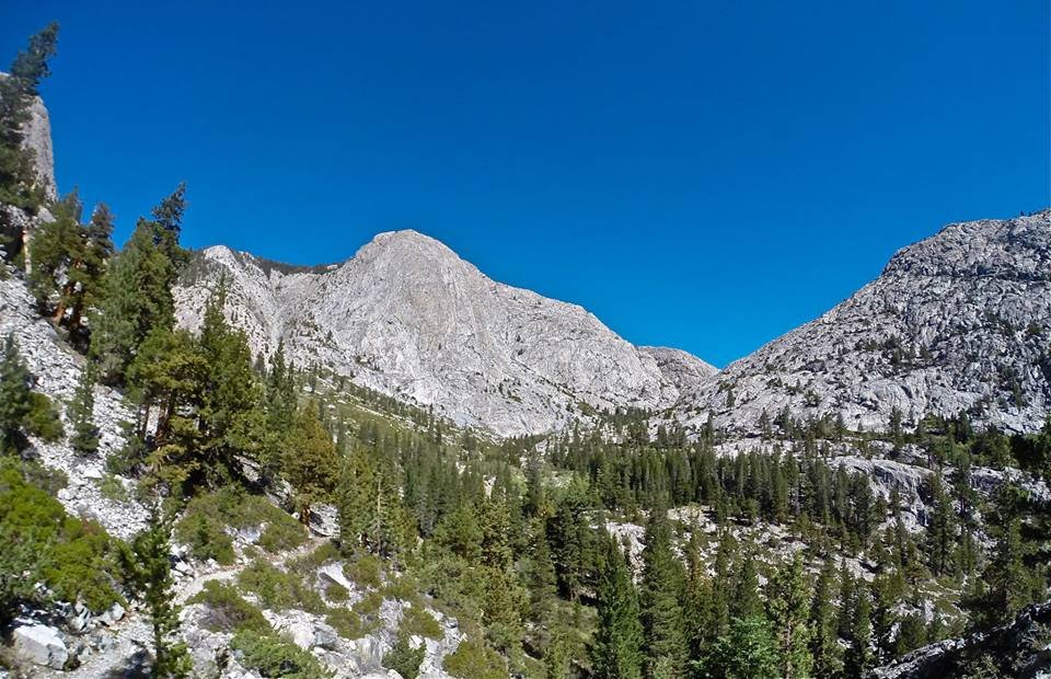
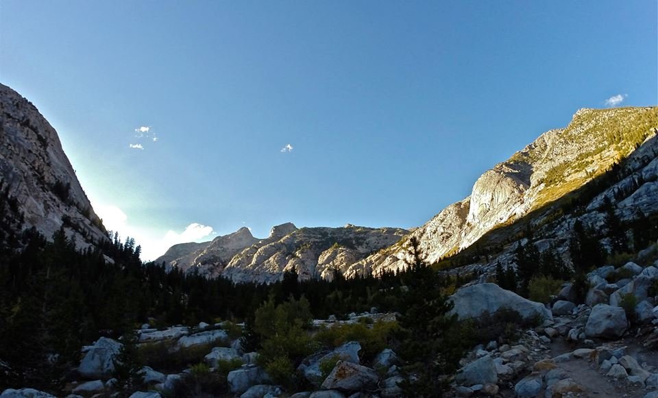
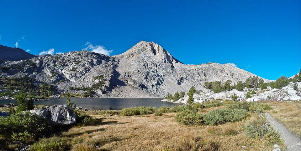 Hiking passed Piute lake
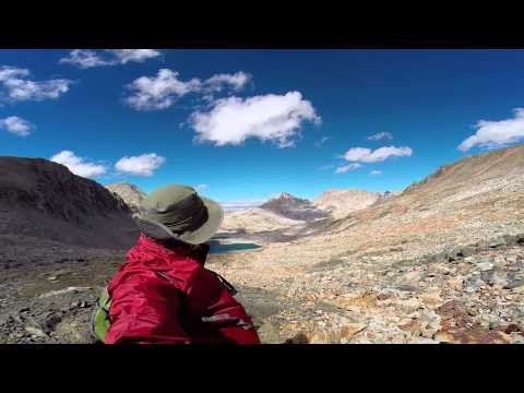
 Views east from Piute pass
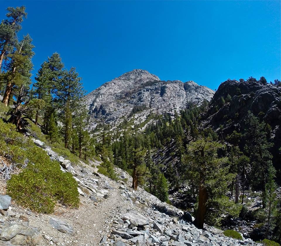
 Approaching Mt. Emerson
 Climbing Mt. Emerson
 Traversing the west ridge of Mt. Emerson
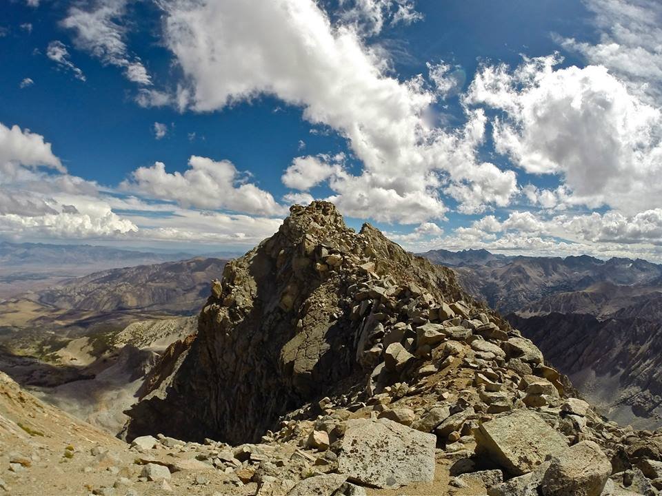
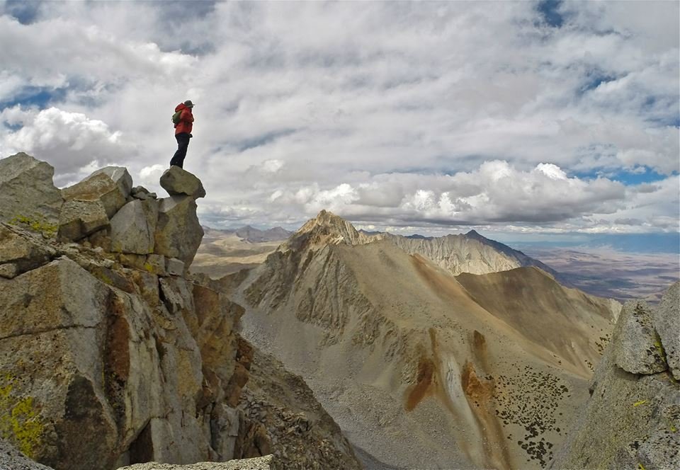
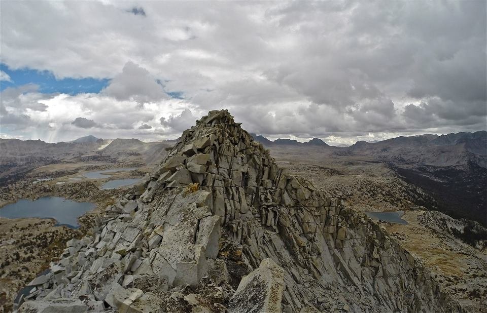
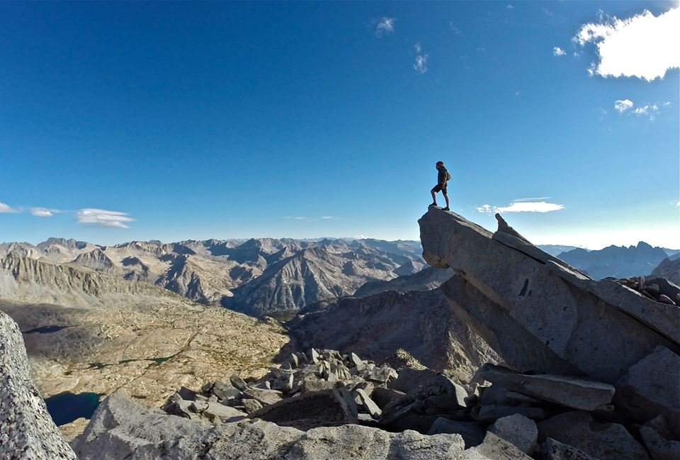
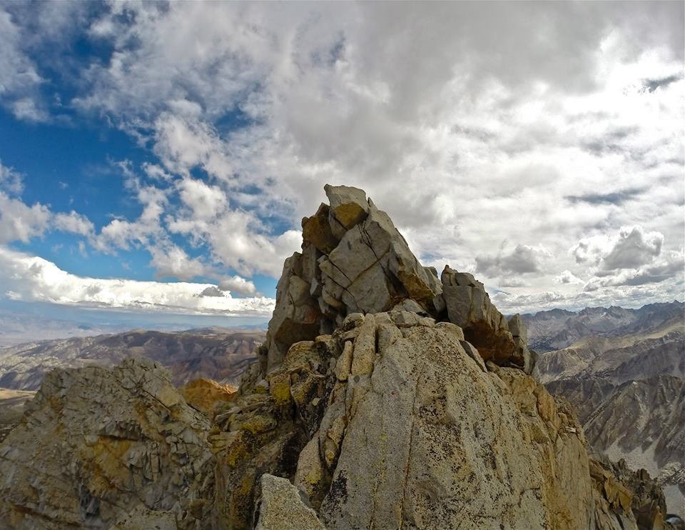 The summit blocks
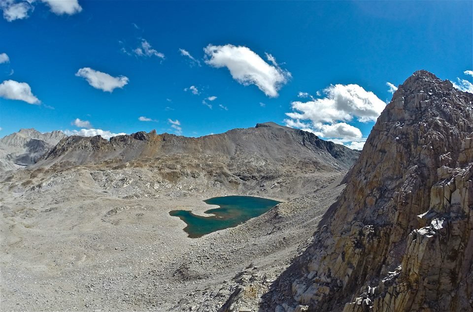
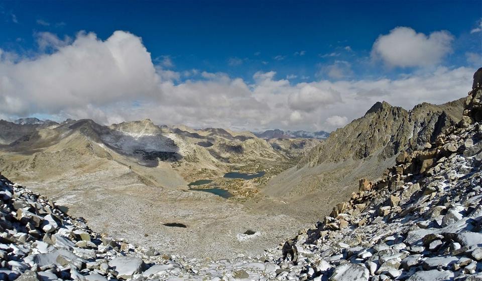
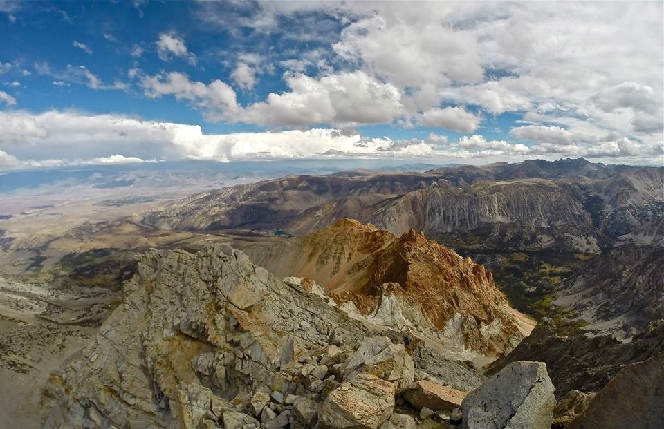 Looking east from the summit
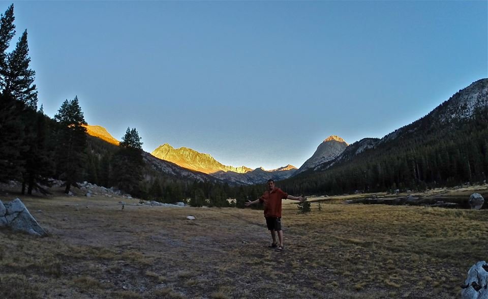
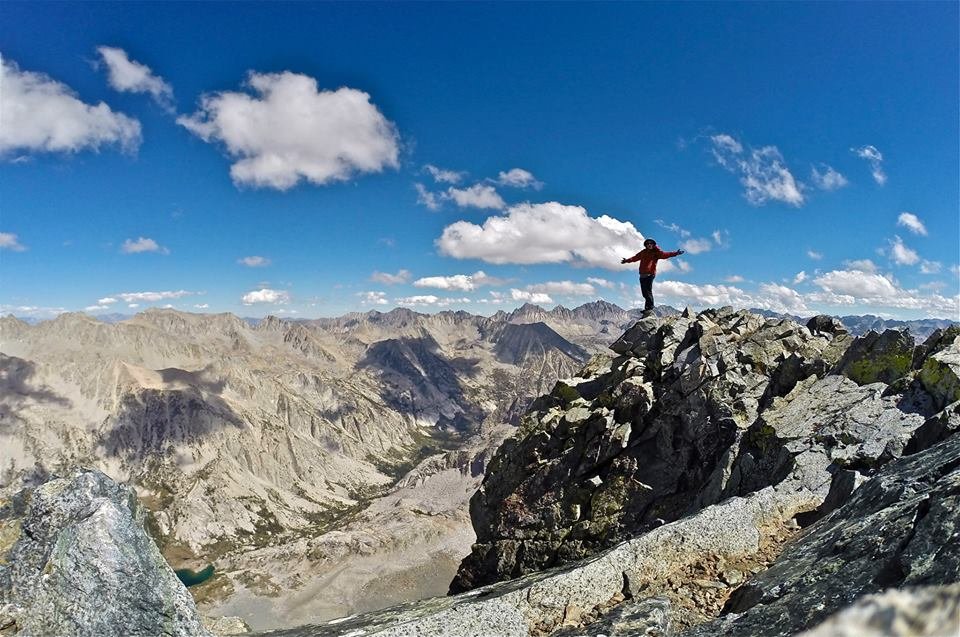
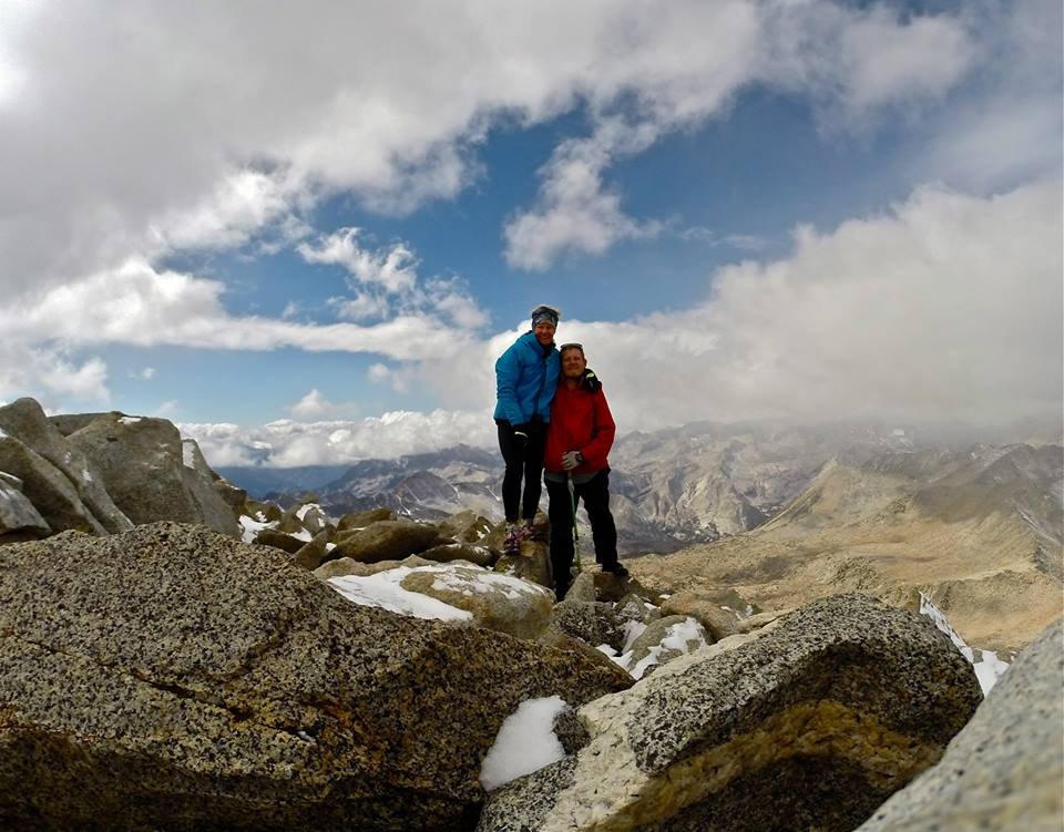
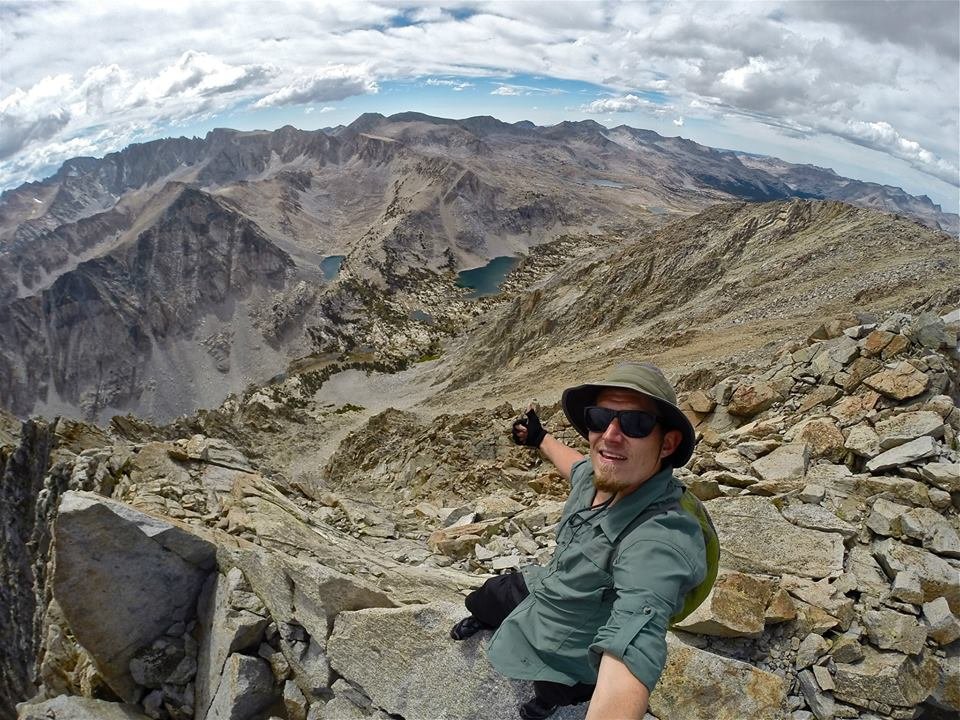 Selfie on the summit
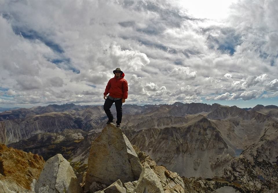 Standing on the summit
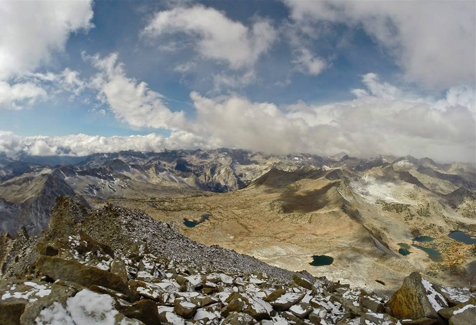
 Looking north from Mt. Emerson
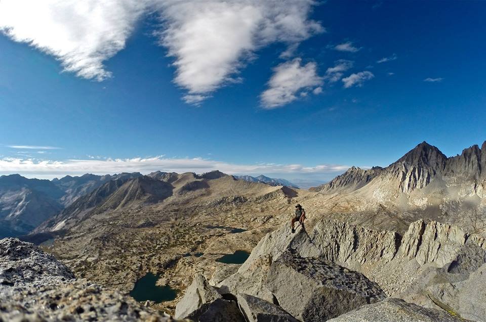
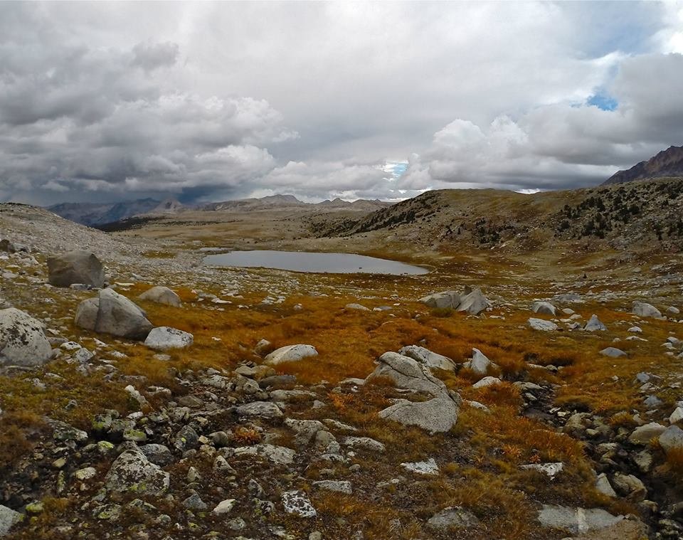 Crossing Humphreys basin
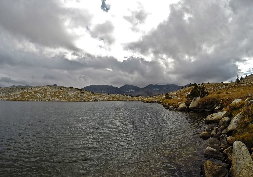
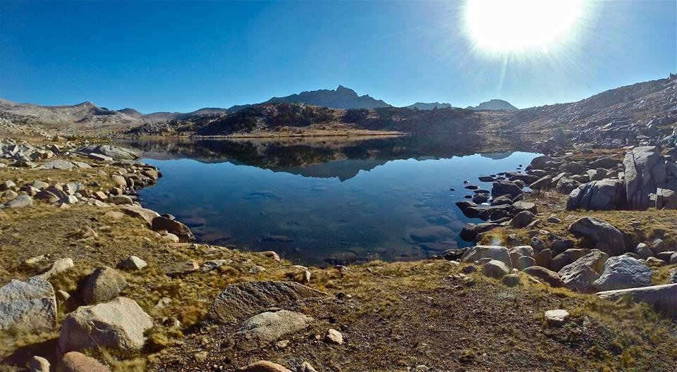
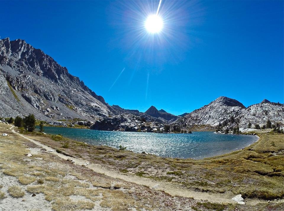
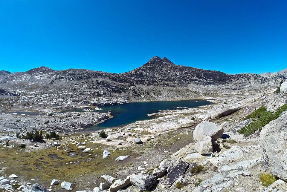
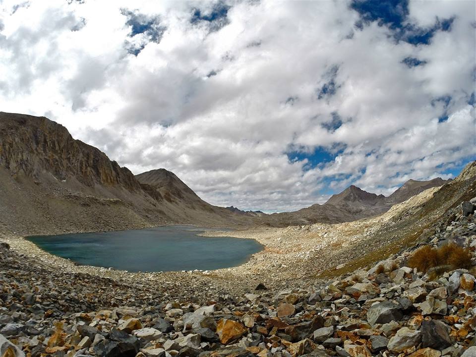
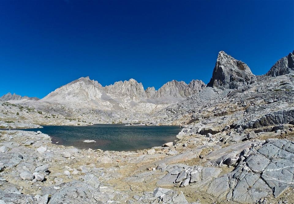
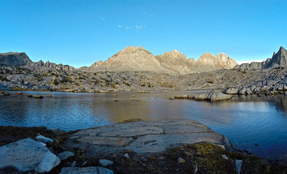
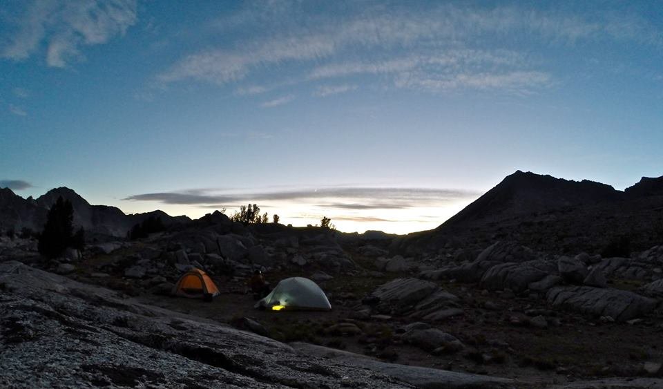
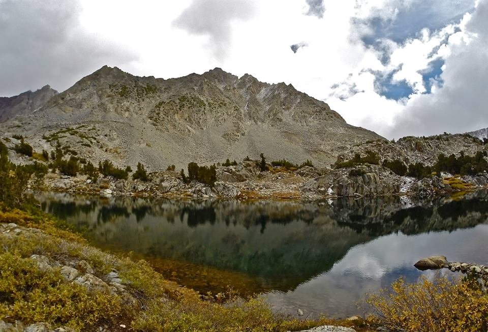
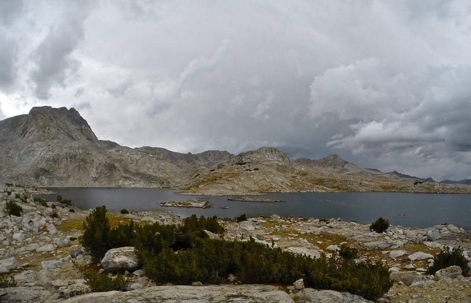 Arriving at Muriel lake
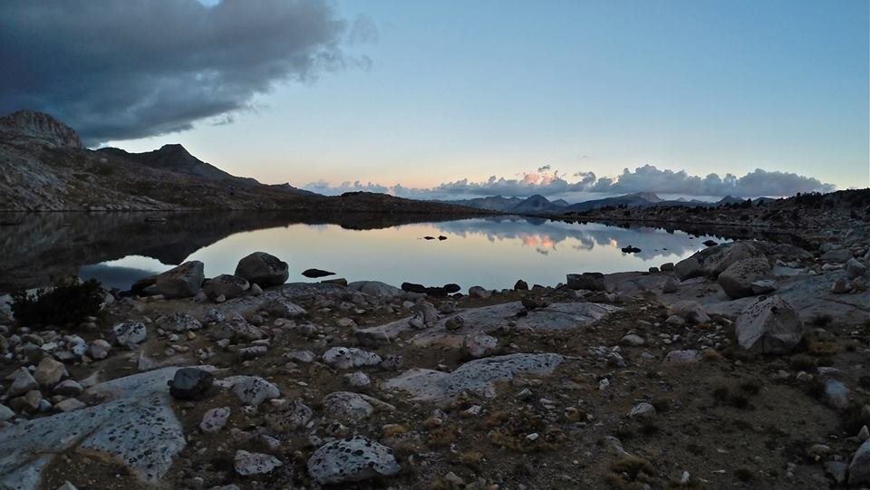 Evening at Muriel lake
The next morning we packed up our camp at Muriel lake and headed northwest across Humphreys basin. We enjoyed a light snowfall in the morning which mostly cleared before arriving at Tomahawk lake where we setup our second camp. The view of Mt. Humphreys was really amazing from there. It just dominates the scene. Then just after we got our tents setup a light rainstorm moved in. We wanted to go climb Pilot Knob(12,245') and the rain and fog was making us question our attempt, but we headed out anyways. As we approached Pilot Knob the rain and fog got less and less and started to clear as we got closer. The weather cleared out perfectly just in time for us to summit and get some awesome views! It's like it was meant to be. Later on, on our way back to our camp at Tomahawk lake it became cloudy again and started sprinkling lightly. But not enough to stop me from trying some trout fishing in the lake before heading to the tents for the night.
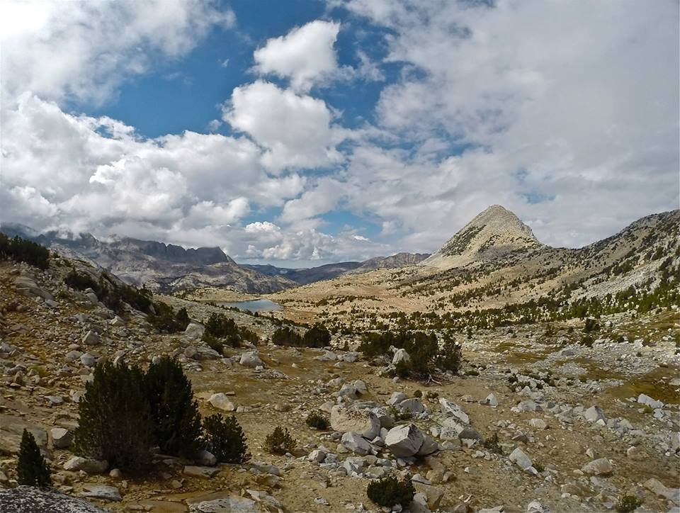
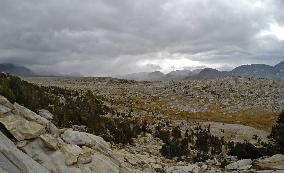
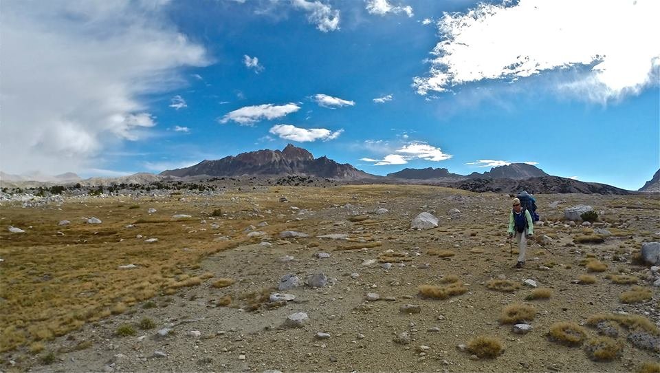 Crossing Humphreys basin
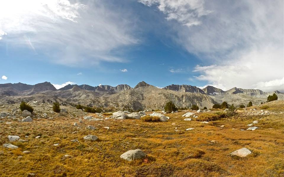 The Glacier Divide
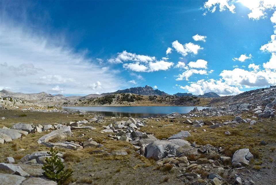 Arriving at Tomahawk lake Mt. Humphreys towering in the background
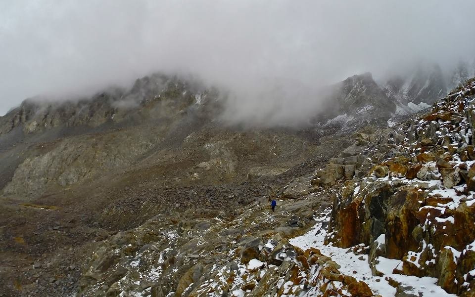
 Approaching Pilot Knob
 Views climbing Pilot Knob
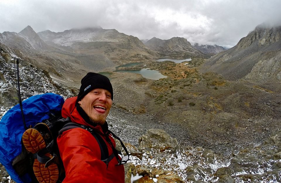
 On the summit of Pilot Knob
 On the summit of Pilot Knob
 The summit of Pilot Knob
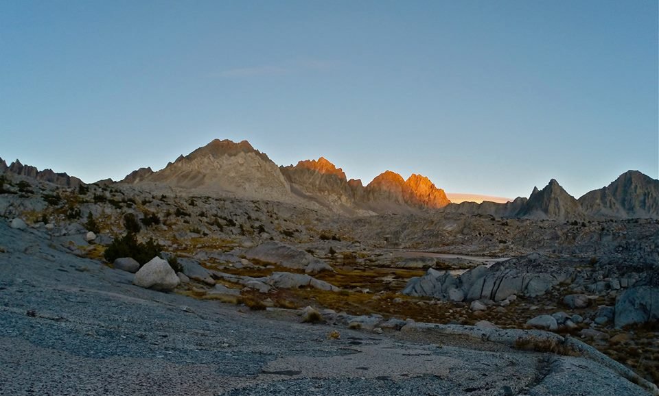
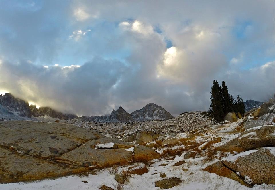
 The clouds moving into Humphreys basin
 Back at Tomahawk lake
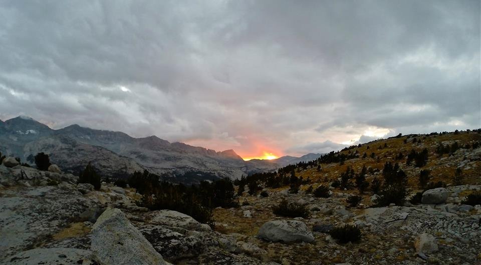 Sunset from Tomahawk lake
After a good night at Tomahawk lake, we packed up camp and headed down through the very impressive Piute canyon. Huge granite peaks, cliffs, and domes just tower over the canyon on all sides. Then we met with the the JMT(John Muir Trail) and followed it down the south fork of the San Joaquin river towards Muir Trail Ranch. We made our third camp by the banks of the river and spent the evening trout fishing in the river and soaking at Blayney hot springs which was in the beautiful meadow just across the river from our camp. The weather was perfect all day, it was a great day to be in the Sierras.
 Morning views of Mt. Humphreys from Tomahawk lake
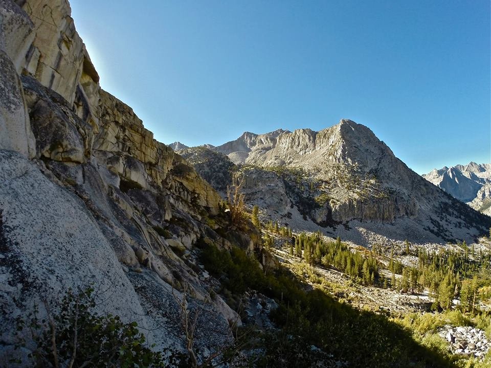
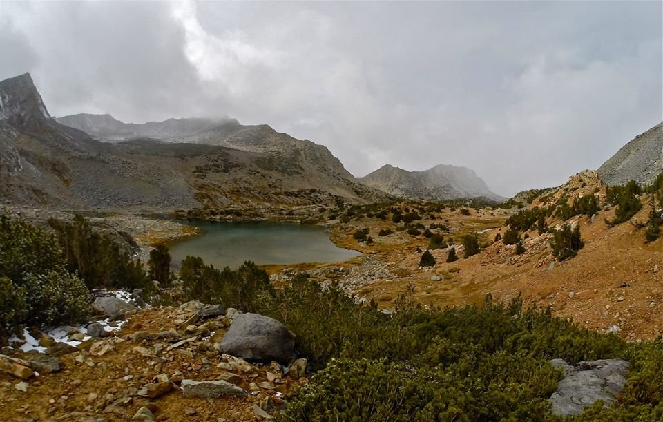
 Looking back up at Pilot Knob from Piute creek
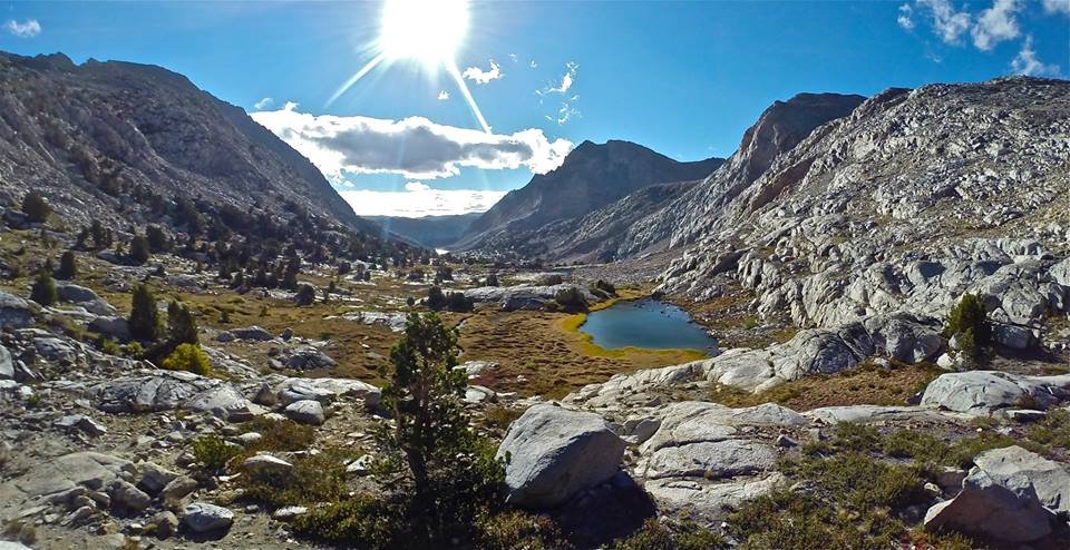
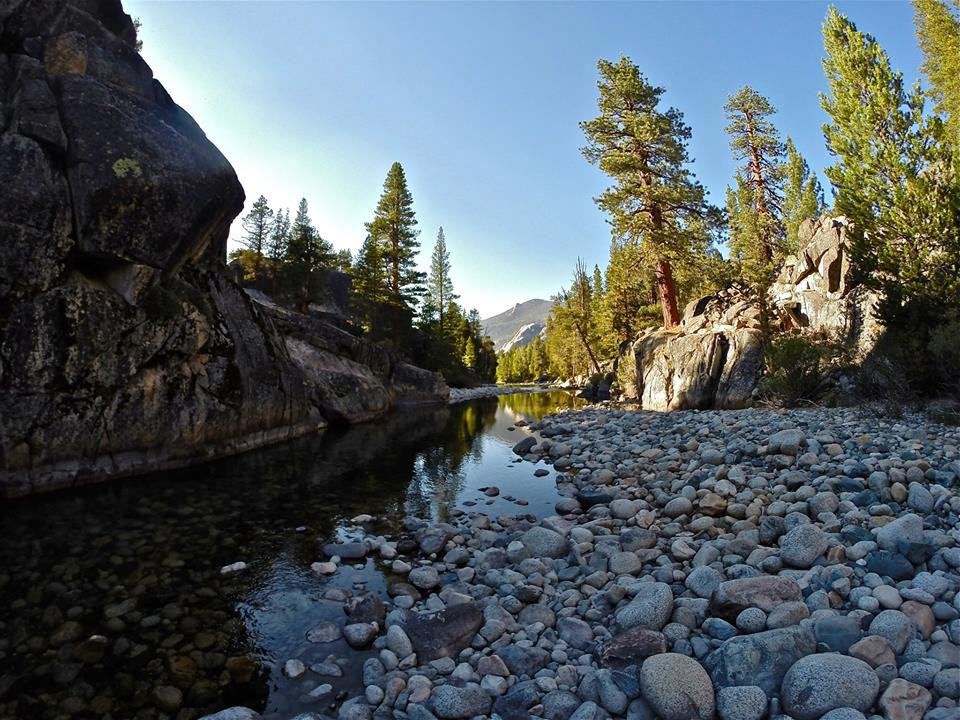
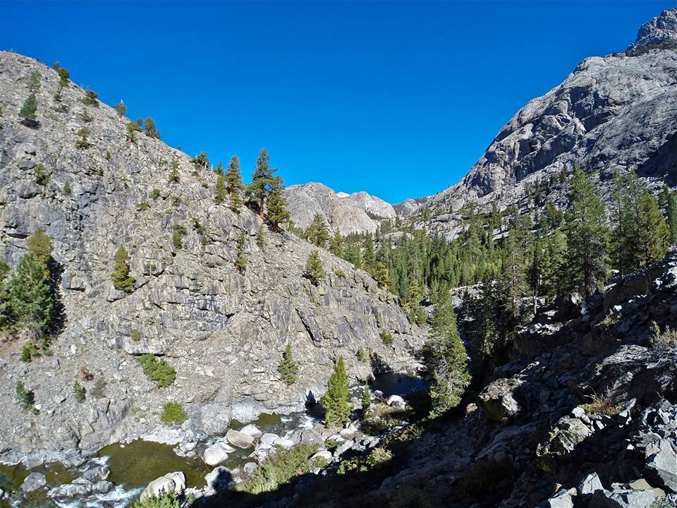
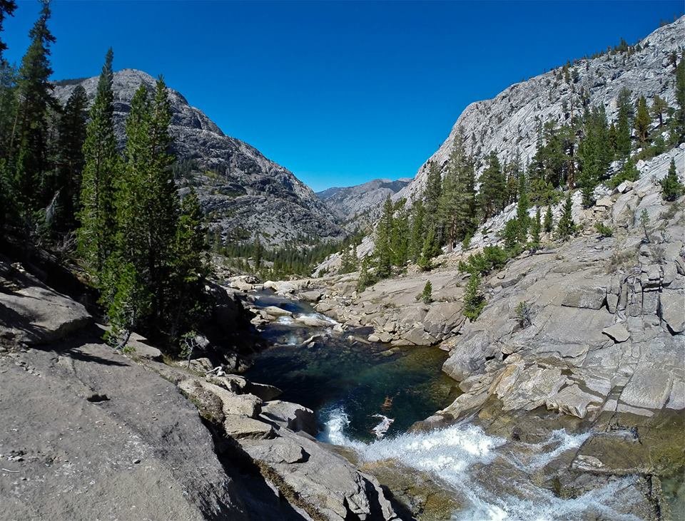
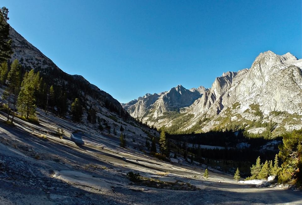
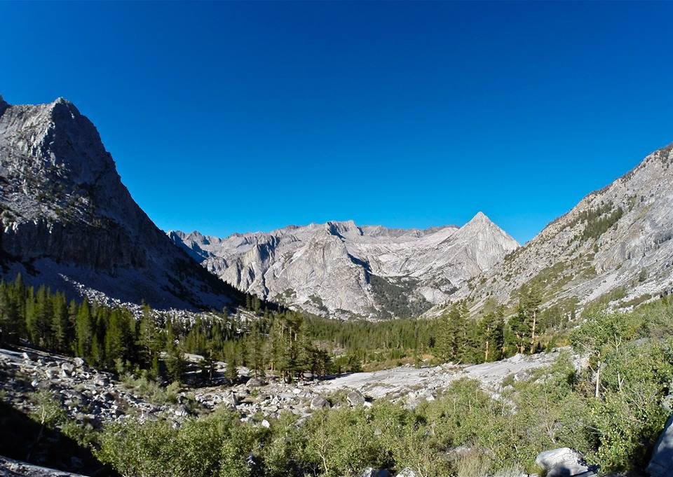
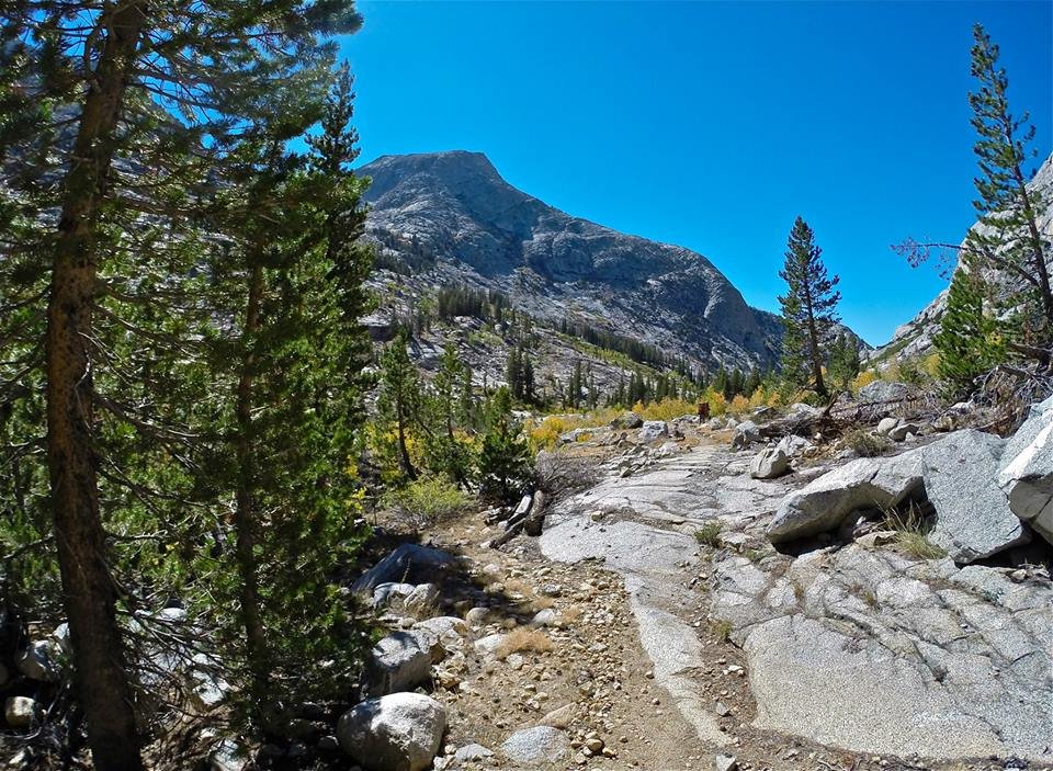 Piute canyon
 Piute canyon
 Piute canyon
 Piute canyon
 Pavillion Dome from Piute creek
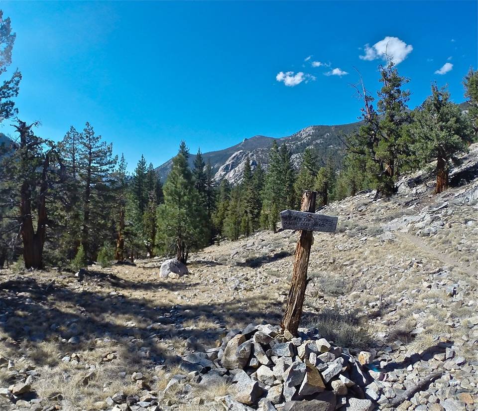 Trail junction to Muir Trail Ranch
 South fork of the San Joaquin river
 South fork of the San Joaquin river
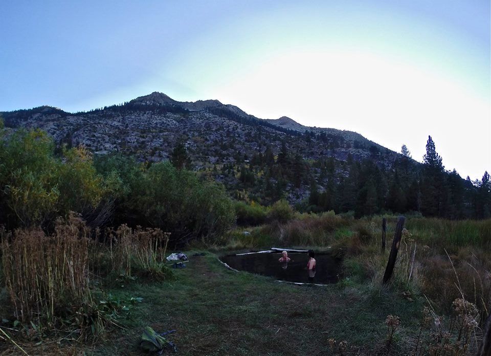 Soaking at Blayney Hot Springs
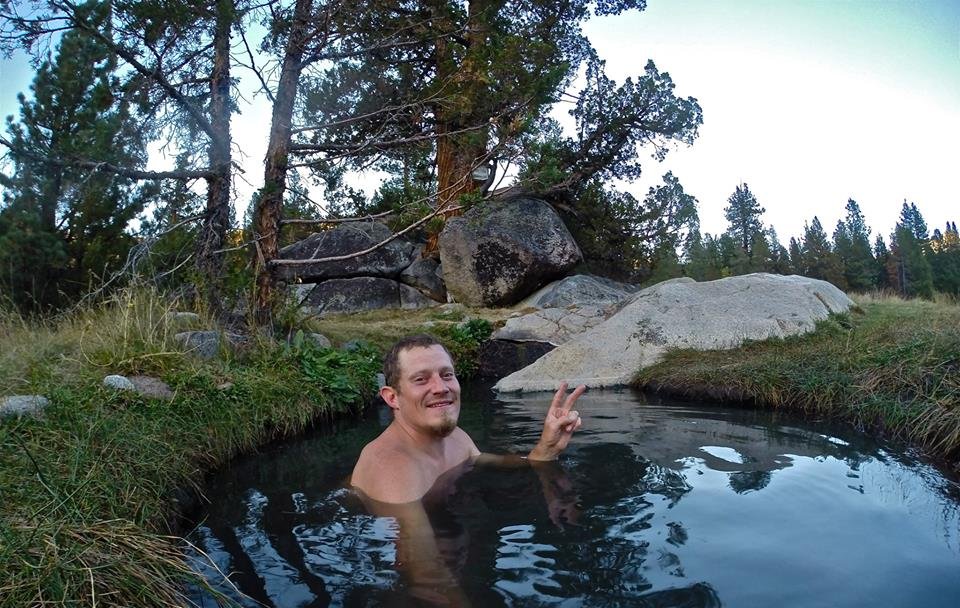 Selfie in the hot springs
 Blayney hot springs
 Sunset glow from the meadow
Feeling nice and refreshed from our evening at Blayney hot springs, we headed back up the South fork San Joaquin river following the JMT, entering Kings Canyon national park at the Piute creek bridge. Then we began our climb up into Evolution valley. We climbed up the trail and enjoyed the many cascading waterfalls of Evolution creek. Taking a nice break for some fishing, swimming, and lunch at some of the waterfalls. Once we reached the valley we hiked through Evolution meadow and made our way to McClure meadow where we setup our fourth camp. The views from McClure meadow are absolutely stunning. Once camp was all setup I went out exploring along Evolution creek having lots of fun trout fishing. The fish were all very small, but there were tons of them and they are still a lot of fun to catch! I also collected some wild onions and blueberries and then headed back to camp. It was my cousins birthday so we had our own little party for her. We even had a small piece of cake and a candle for her! Then we had a some drinks and talked into the night!
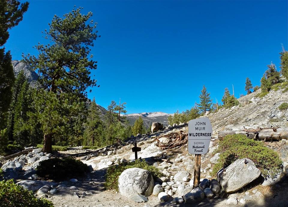 John Muir Wilderness/Kings Canyon national park boundary
 Hiking up the south fork of the San Joaquin river
 Pavillion Dome from Aspen meadow
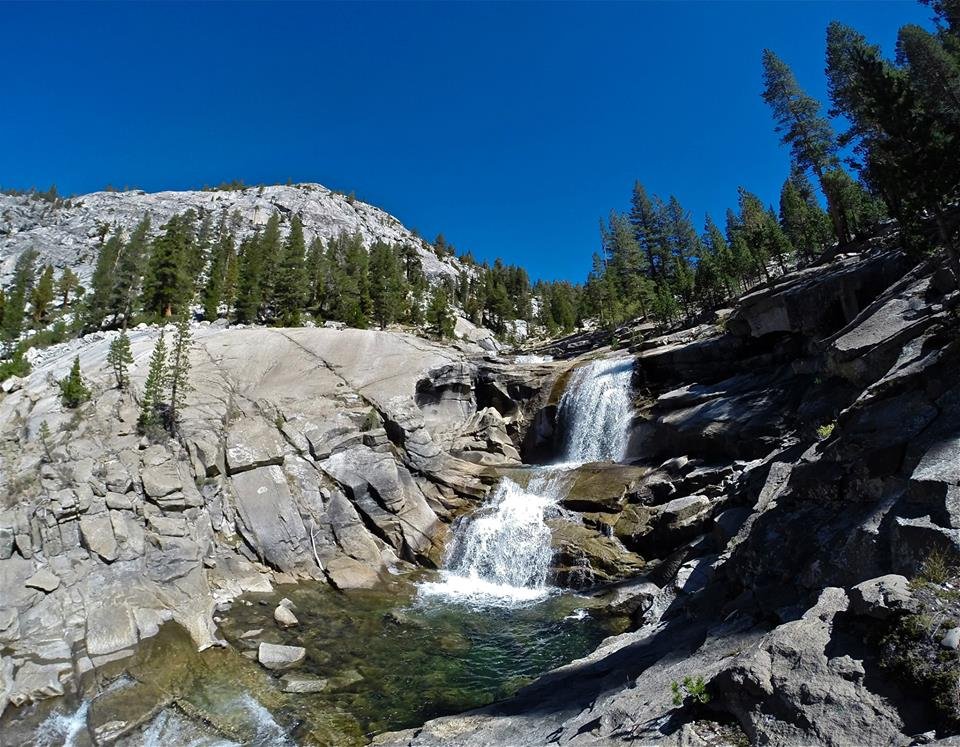 Evolution creek waterfalls
 Evolution creek waterfalls
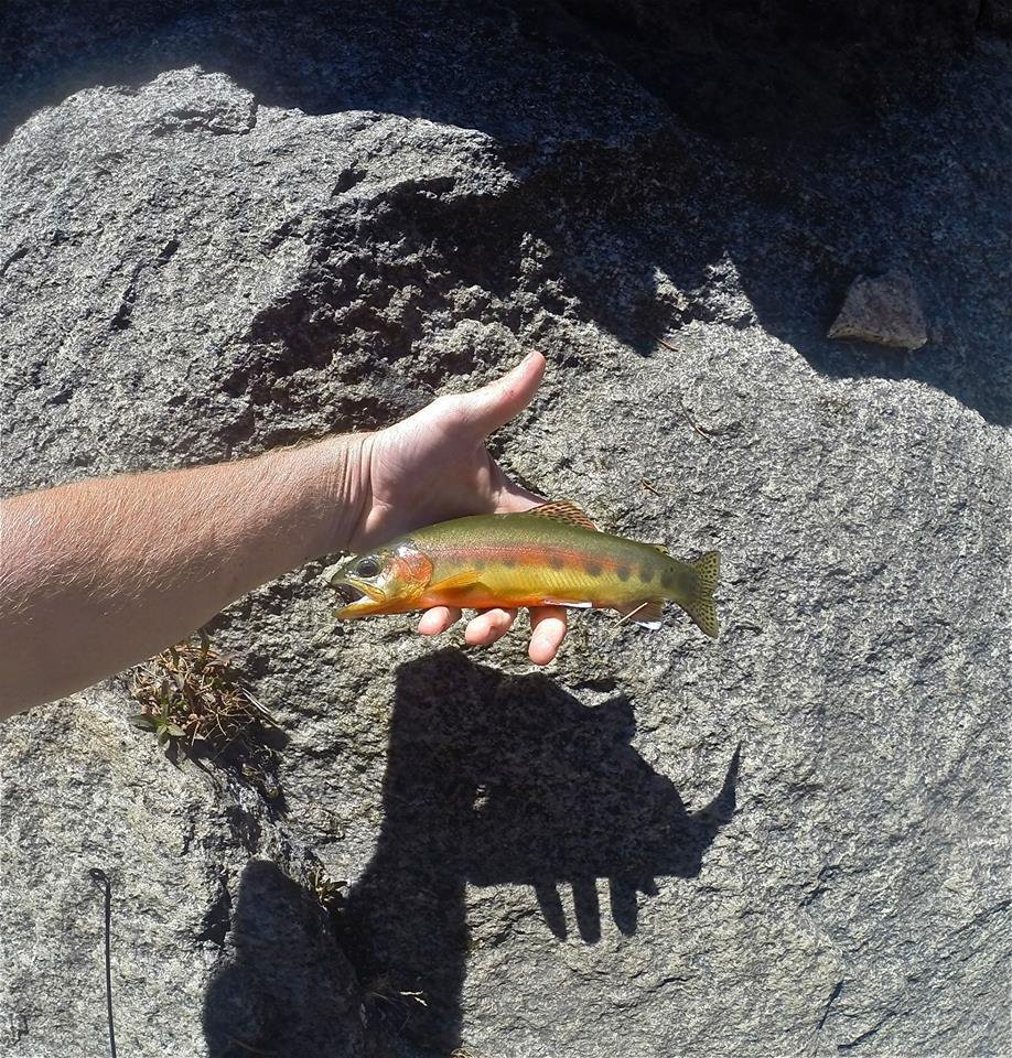 Golden Trout
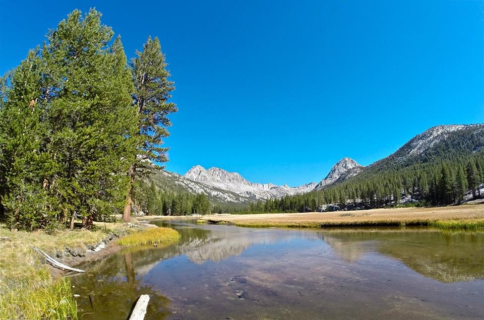
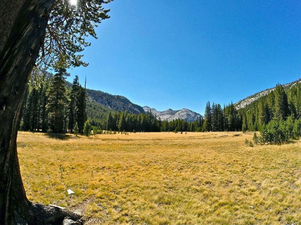 Evolution meadow
 McClure meadow
 McClure meadow
 McClure meadow
 Standing in the meadow during sunset
After a fun but cold night at McClure meadow we packed up our camp and continued up the JMT into Evolution basin. My cousin had a few to many drinks the night before and she was a bit hungover and moving pretty slowly, but we didn't have a lot of miles to cover and It was a perfect clear sunny day. For me the climb up into the basin seemed like almost nothing. And the views just got better and better. The Hermit was just towering over the far side of Evolution valley. We hiked around Evolution lake which is a quite unique and truly beautiful lake. And then we arrived at Sapphire lake, still pretty early in the day. We got our camp set up on the far side of Sapphire lake and then my mom and I (my cousin decided she needed to rest) began our climb to the summit of Mt. Spencer(12,431'). The climb up was a fairly easy class 2 climb and the views from the summit were incredible!! Mt. Spencer sits right in the center of Evolution basin giving it the ultimate view over all the lakes in the basin as well as huge views out over Evolution valley. We signed the summit register and spent plenty of time enjoying the views and then headed back down to our camp at Sapphire lake. I did some trout fishing in the lake and then made some dinner before heading into the tent for the night.
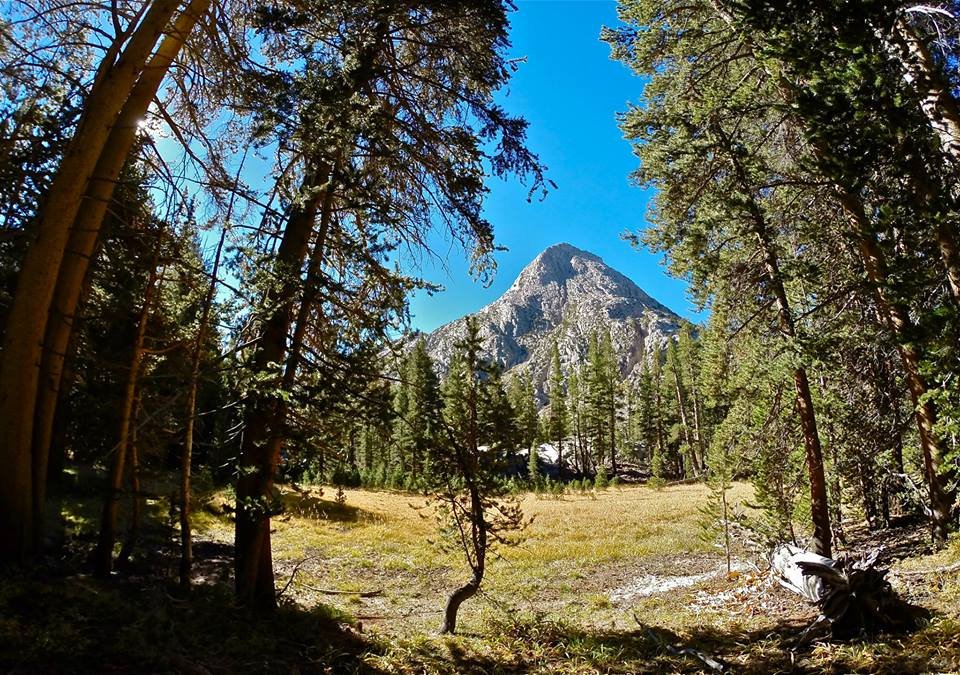 The Hermit from Colby meadow
 Great views of The Hermit from the JMT
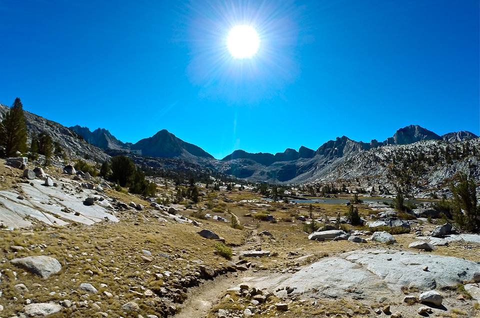
 Getting into Evolution Basin
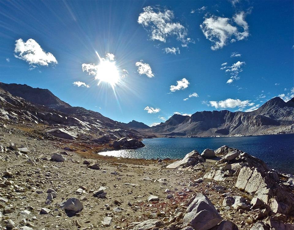
 Evolution Lake
 Evolution Lake
 Evolution Lake
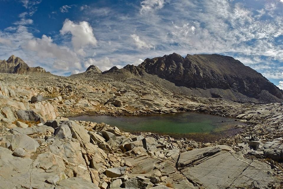
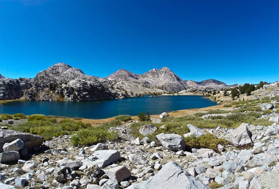
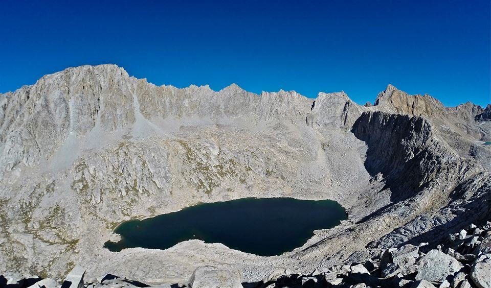
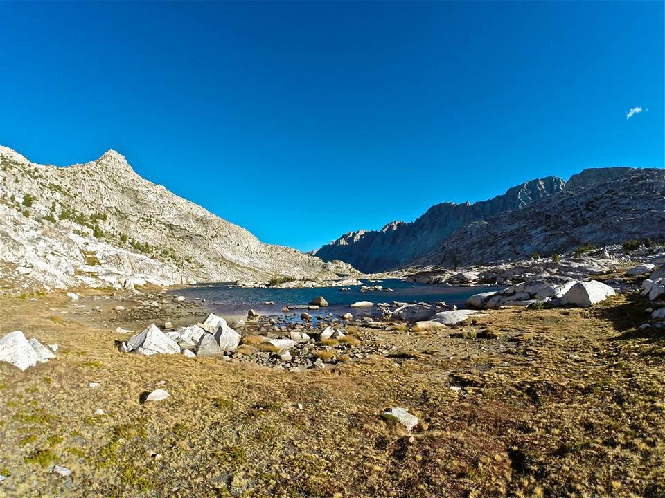
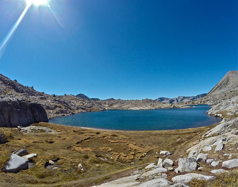
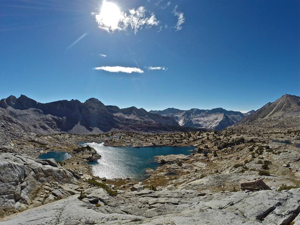
 Arriving at Sapphire Lake
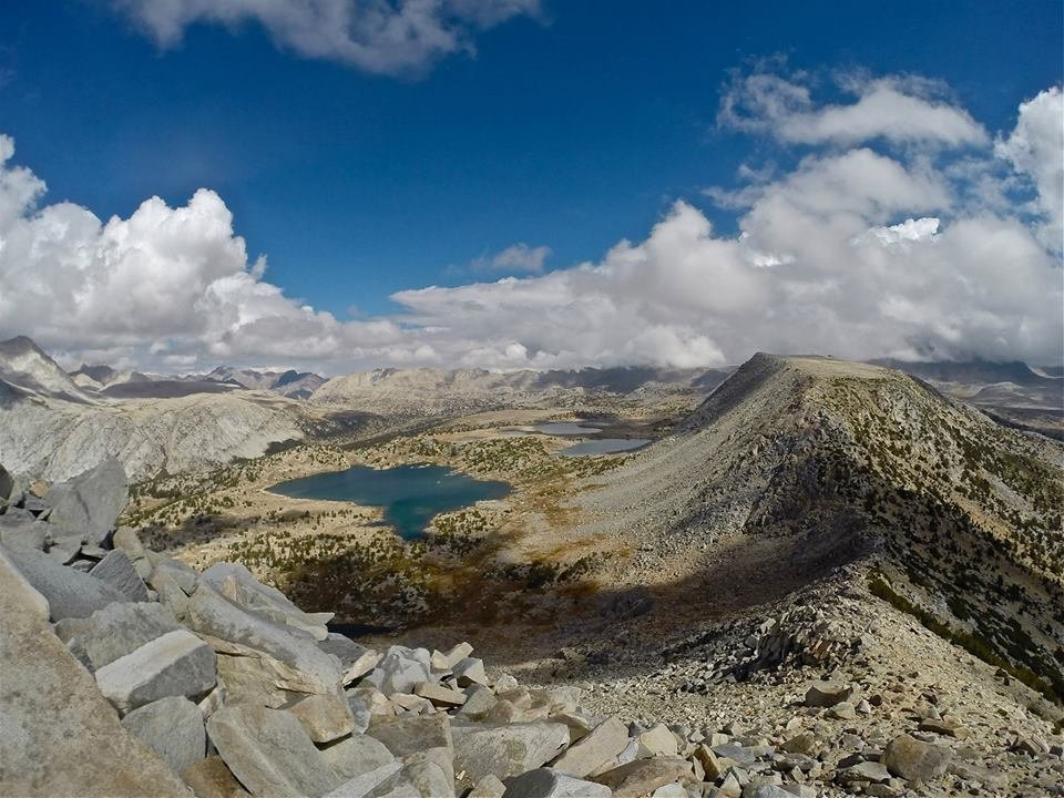
 Overlooking Sapphire lake from the SW slopes of Mt. Spencer
 Views SW overlooking Evolution lake and Evolution valley from the summit of Mt. Spencer
 Views S from Mt. Spencer looking way down at our camp at Sapphire lake (on the right)
 Views NE from Mt. Spencer with Mt. Darwin towering over Lake 11,594'
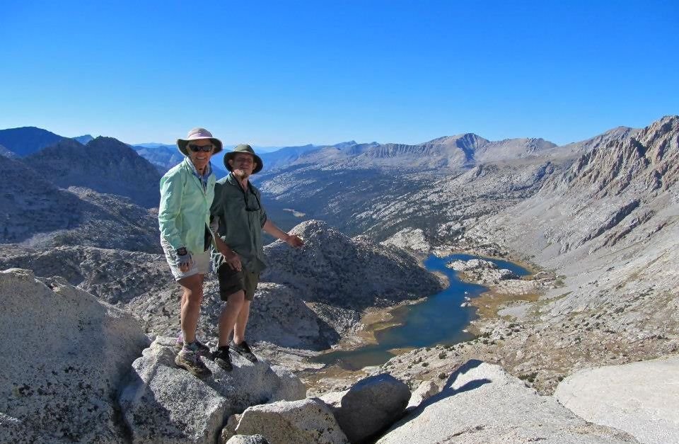 Mom and I standing on the summit of Mt. Spencer
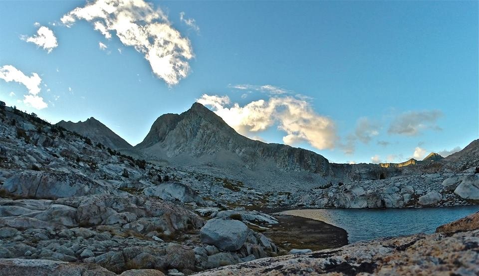 Evening at Sapphire lake
So on day 6 we packed up and left Sapphire lake and headed through Evolution basin by Wanda lake and Lake McDermand up to Muir pass. After a break in the Muir hut, my cousin decided she wanted to finish a day early so she went ahead of us and then finished her hike solo. I on the other hand decided it was a great day for some peak bagging and decided to climb Mt. Solomons(13,034') AND Black Giant(13,330)! Both climbs were steep but relatively easy class 2. The views were amazing of course!! Especially the huge views over LeConte canyon from Black Giant. After my epic peak bagging adventure mom and I dropped down into LeConte canyon and made our camp at beautiful Little Pete meadow. Sitting in the bottom of such a huge canyon, surrounded by massive granite peaks, Little Pete meadow is a little serene paradise. It ended up being a pretty long day, but it was truly amazing. The kind of day that I live for.
 Evolution Basin
 Wanda Lake
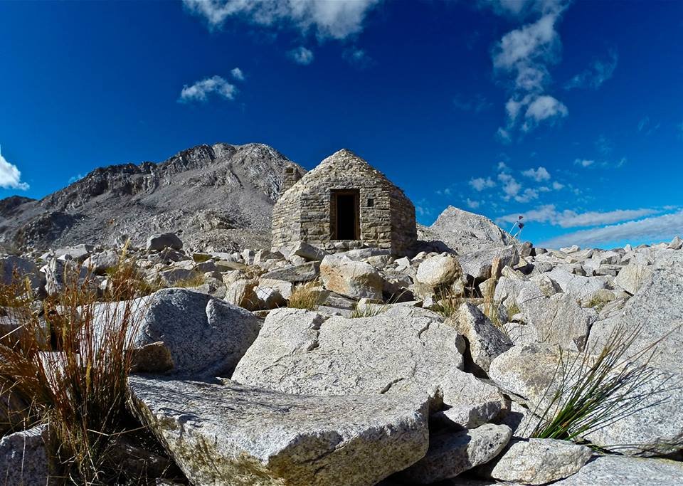 The Muir Hut at Muir Pass
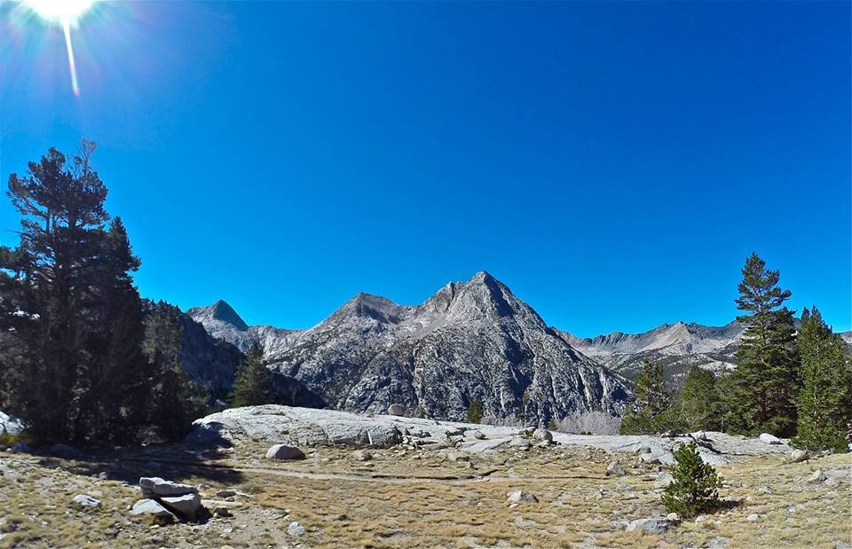
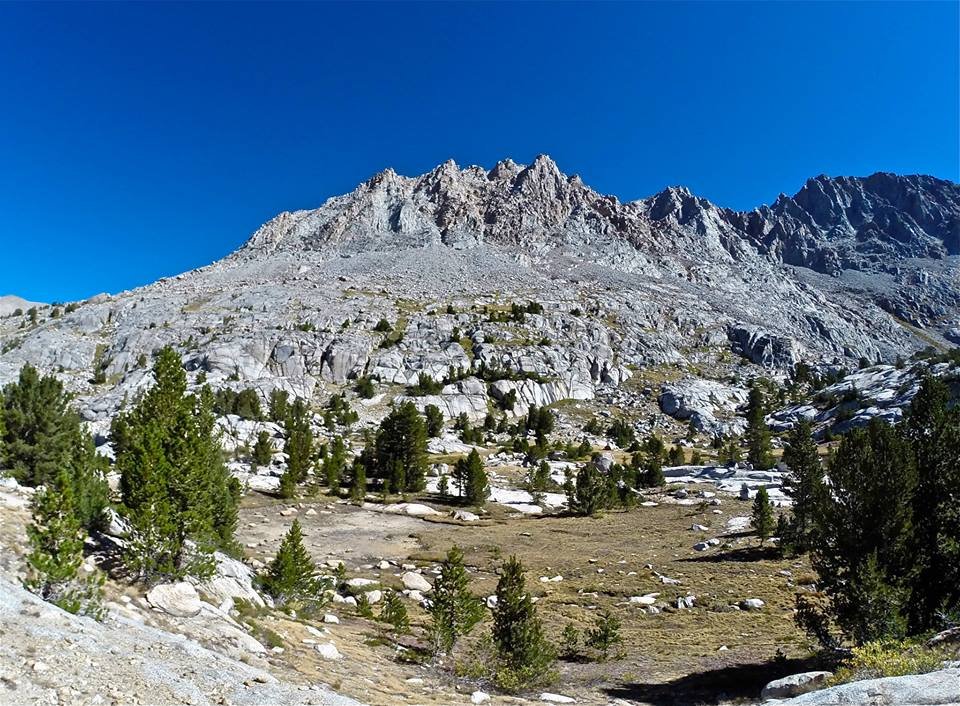
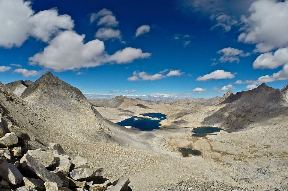 Overlooking upper Evolution basin from the N slope of Mt. Solomons
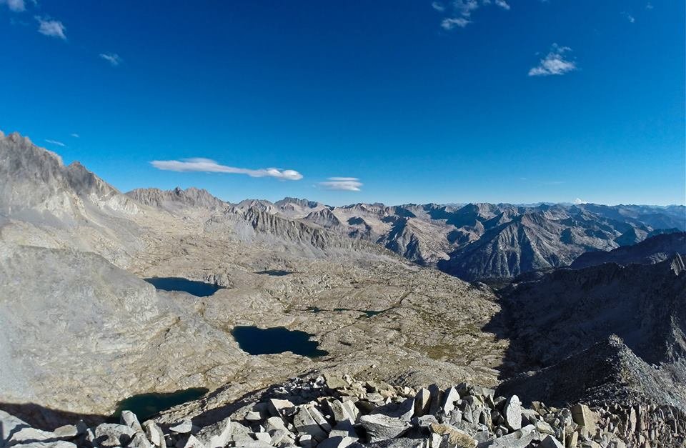
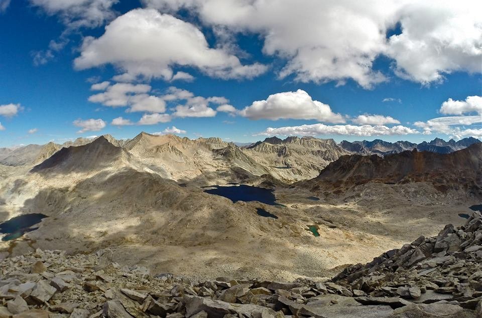 Views NE overlooking the Muir pass area from the top of Mt. Solomons
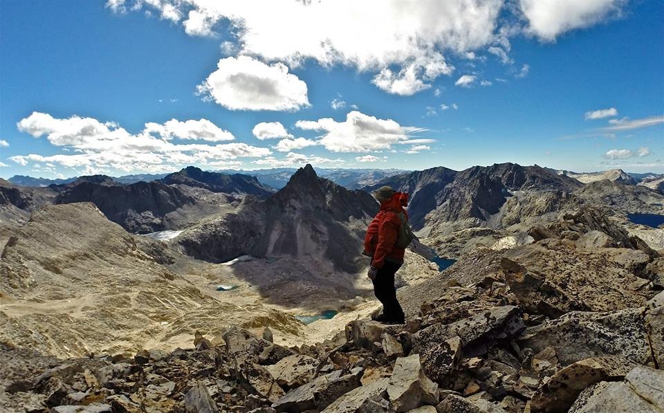 Views S overlooking Ionian Basin from Mt. Solomons
 Traversing from Mt. Solomons to Black Giant
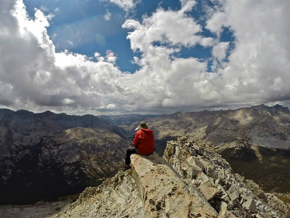
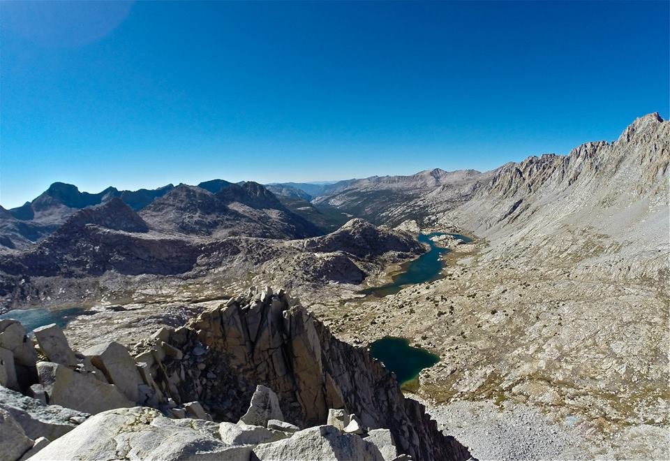
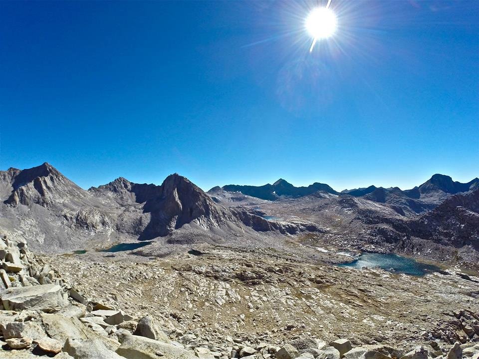
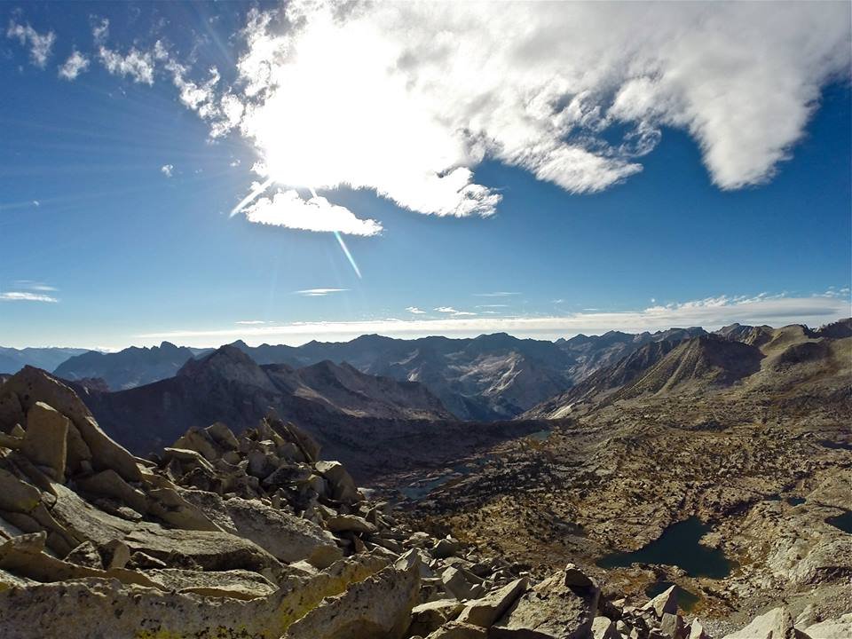
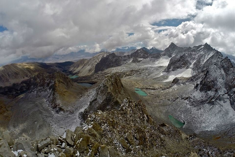
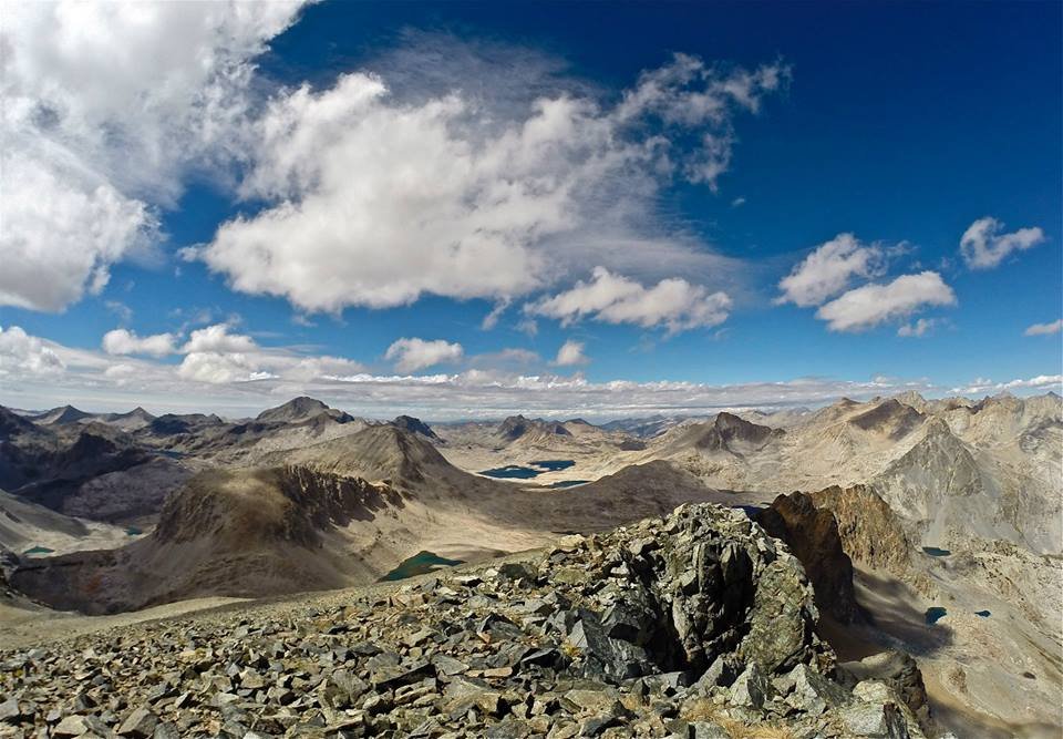 Views NW from the summit of Black Giant
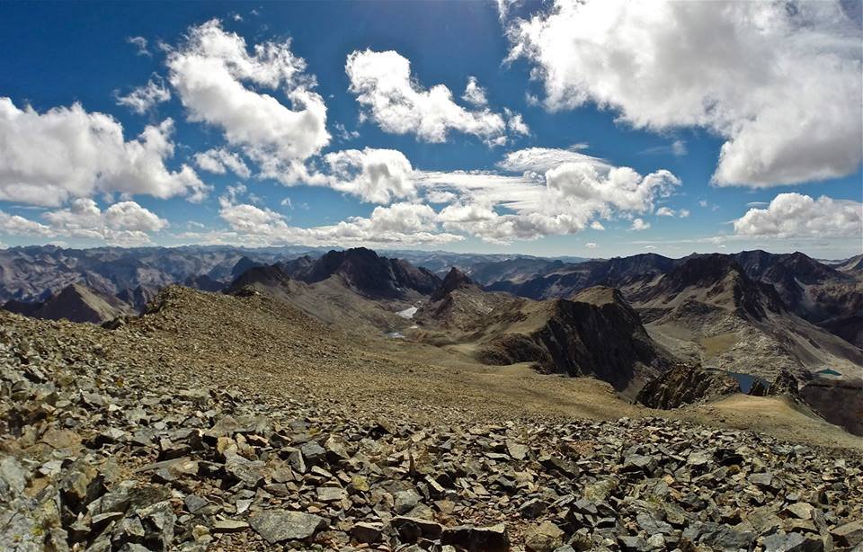 Views SE from the summit of Black Giant
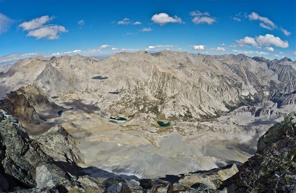 Views NE overlooking LeConte canyon with Little Pete meadow over 4,000 feet below
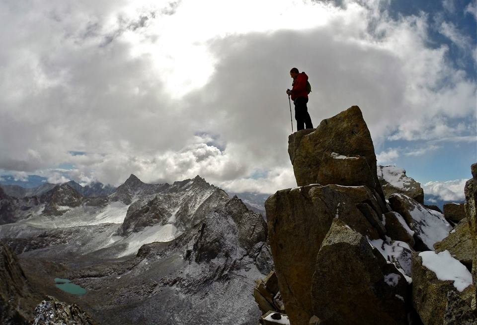
 Shot of me on the summit of Black Giant
 Black Giant pass
 Dropping down into LeConte canyon
 Dropping down into LeConte canyon
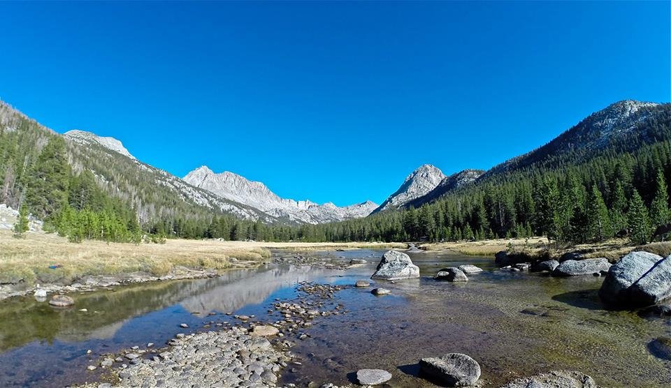
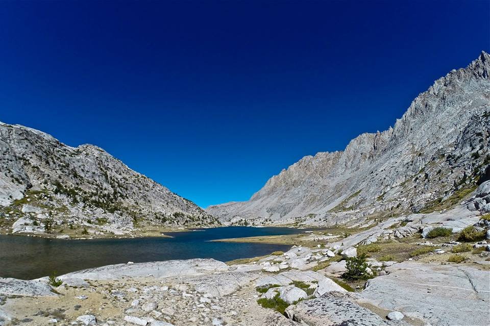
 LeConte canyon
 LeConte canyon
 Little Pete Meadow
So day 7 we packed up our stuff and headed down the canyon to the junction with the Bishop pass trail. We left the JMT and began our climb up the Bishop pass trail out of LeConte canyon and up into Dusy basin. We made our camp early at one of the beautiful lakes in the upper part of the basin. From there I decided to make the climb up to Columbine peak(12,662') for some awesome views over the area. The climb up and down was a little more technical than I had expected with a bit of class 3 climbing and some huge talus, but it was nothing that I couldn't easily handle. And the summit rock was a really cool 'diving board' kind of rock which made for some great pictures! Then I headed back down to camp and we enjoyed a really nice sunset on the Palisades for our final evening of the trip!
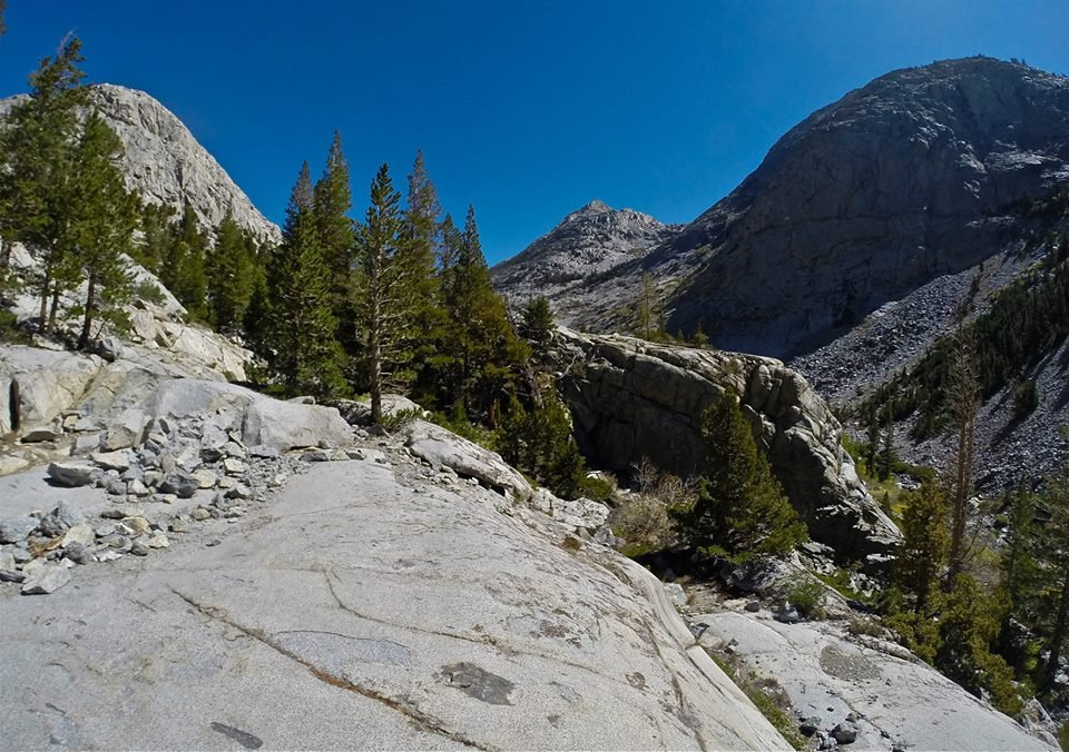
 Climbing out of LeConte canyon
 Climbing out of LeConte canyon
 Climbing into Dusy Basin
 Lower Dusy Basin
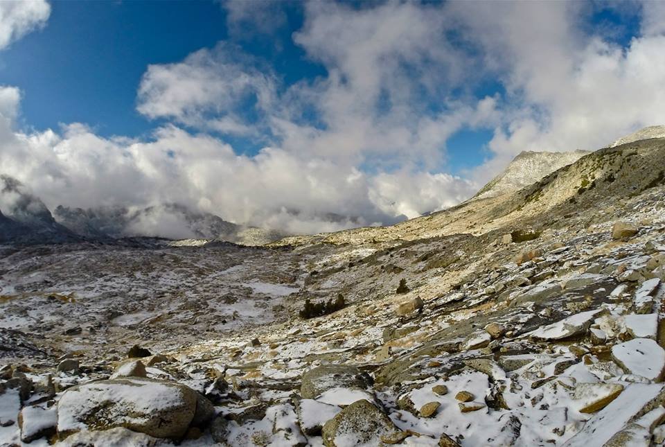
 Dusy Basin
 Dusy Basin
 Dusy Basin
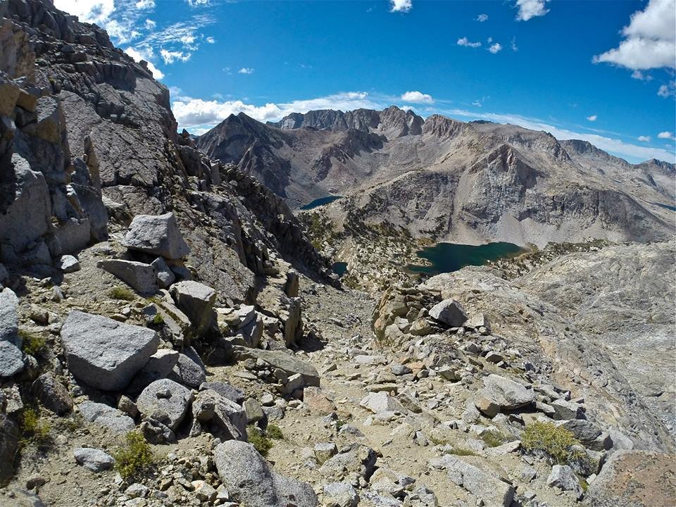
 Views W overlooking Dusy Basin from Columbine peak
 Views SE overlooking Barrett lakes from Columbine peak
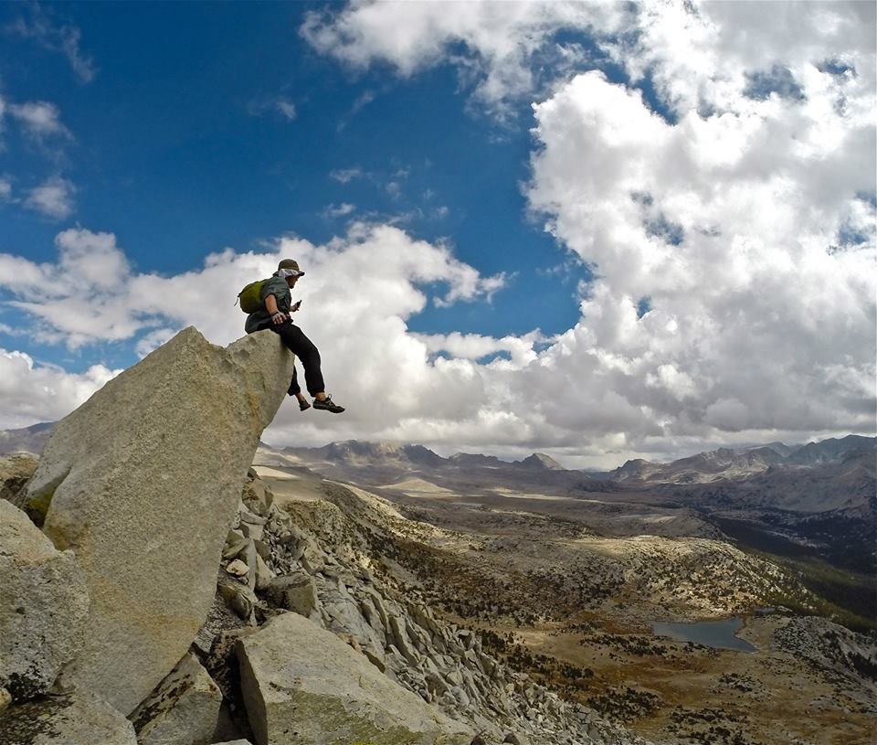
 The 'diving board' summit rock
 Hanging out on the summit of Columbine peak
 The Palisades from Dusy Basin
 Sunset glow on the Palisades
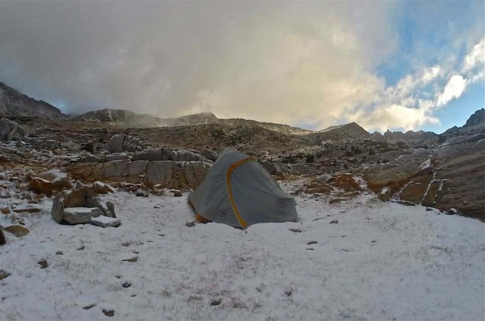
 Camping in Dusy basin
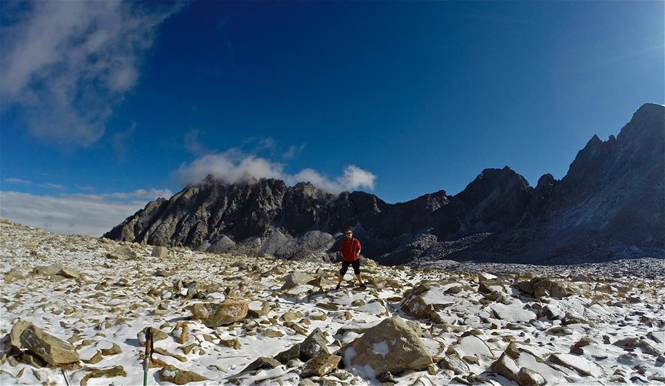
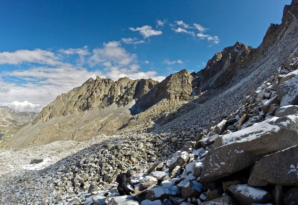
On our final night a storm rolled in and dropped a couple inches of snow on us in Dusy basin. When we woke up the whole basin was coated in white and everything looked super awesome! We packed up our camp and headed for Bishop pass. We arrived at the pass and the clouds had cleared significantly, so we decided to make the climb up to Mt.Agassiz(13,893'), the tallest and the final peak of the trip! We summited with just enough time to enjoy the incredible views before the clouds moved back in and began snowing on us again. The snow and fog made the climb down quite adventurous and it continued to snow on us the rest of the way out on the Bishop pass trail. We hiked through the weather and got down to the trailhead at South lake, our final destination on this awesome trip!! It was really a perfect ending to this incredible adventure.
 Fresh snow in Dusy basin
 Fresh snow in Dusy basin
 Climbing out of Dusy basin
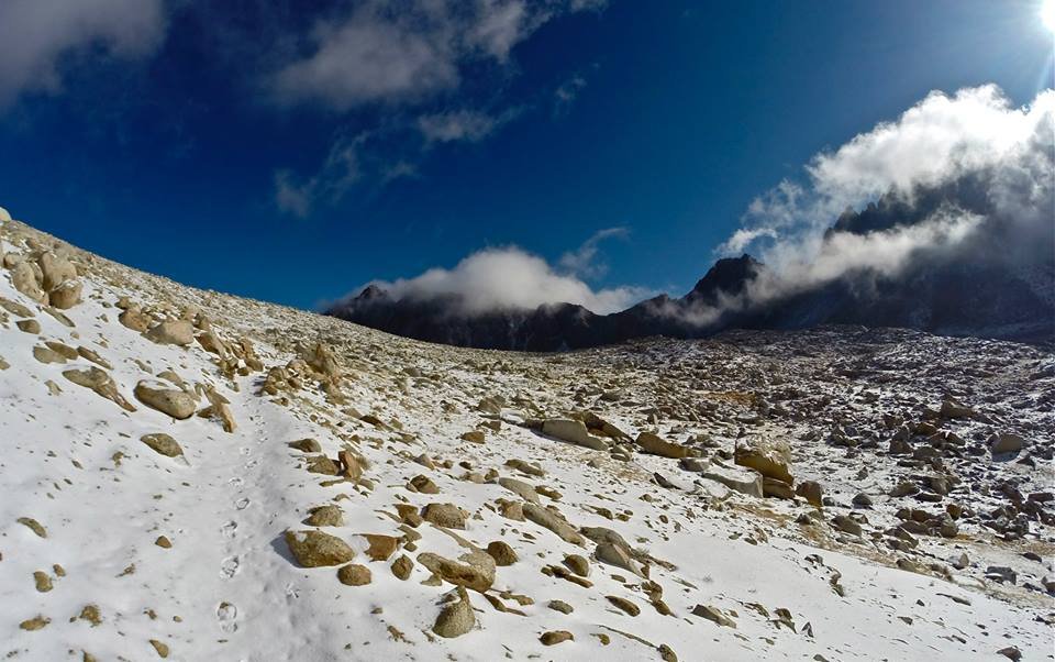 Approaching Bishop pass
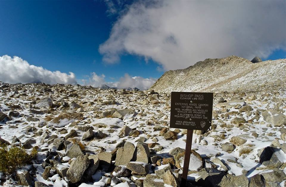 Bishop pass
 Me on Bishop pass
 Climbing Mt. Agassiz
 Climbing Mt. Agassiz
 Views W from the summit of Mt. Agassiz
 Views E from the summit of Mt. Agassiz
 Standing on the summit of Mt. Agassiz
 Mom and I on Mt. Agassiz
 Descending from Bishop pass
 Descending from Bishop pass
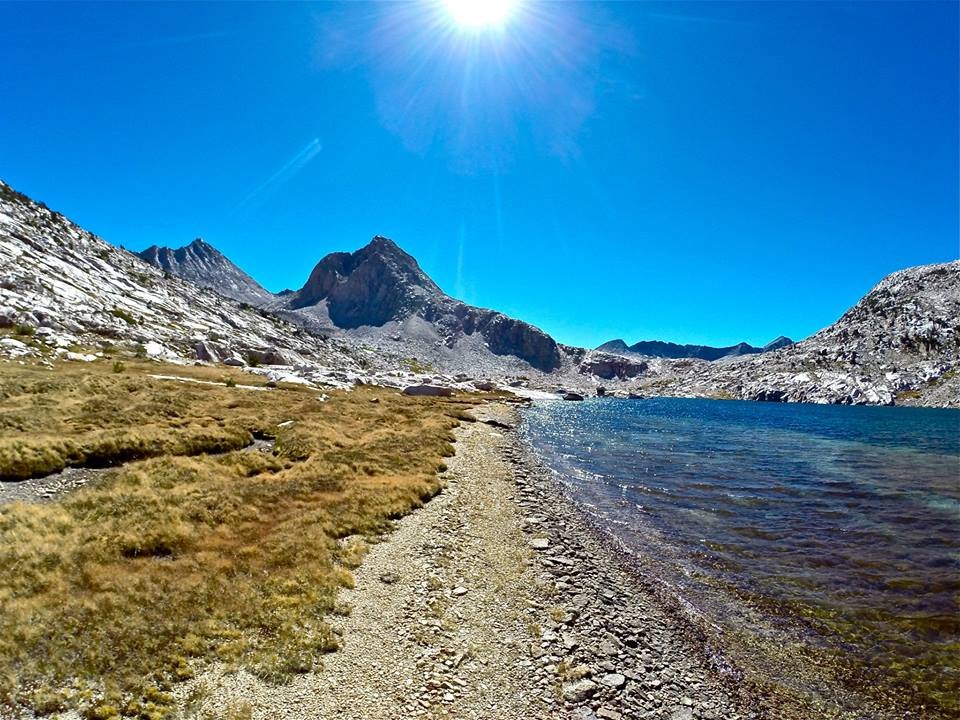
 Bishop lake
 Looking back to Mt. Agassiz (now in the clouds)
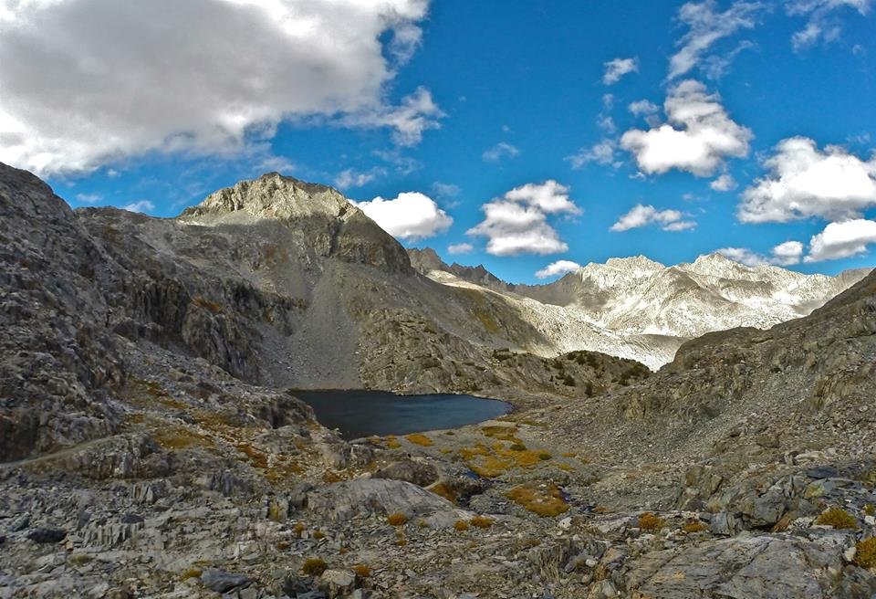
 Saddlerock lake
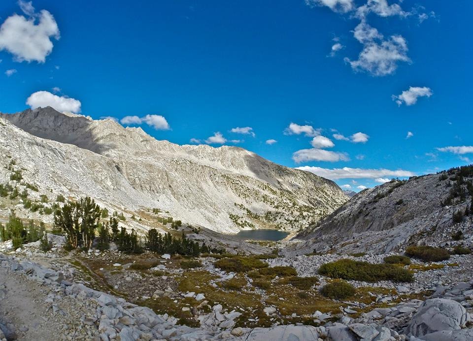
 Long lake
 Fall colors above South lake
Thanks for reading! 

Youtube video -
Thanks for watching!! 
Map -
!steemitworldmap 37.229573 lat -118.618582 long 'North Lake' D3SCR
https://www.facebook.com/CAmountainadventures
https://discord.gg/g22zkFD