When I did the hike to Le Morne Brabant a couple of weeks ago, it was a hike in the footsteps of escaped slaves. Doing the hike to Le Pouce has been a hike in the footsteps of Charles Darwin. Le Pouce offers stunning views of Port Louis and the surrounding countryside. On a clear day it should be possible to see the coastline allmost all the way around the island. After the hike to Le Morne, I was keen to do more. It is winter here, which is an ideal time for doing hikes. Once again I joined a group tour with the same local sport club as I did to Le Morne. They already had Le Pouce on their programme, so I signed up for that one.
Le Pouce is a popular and relatively easy hike. The name means the «Thumb». The shape of the peak resemblance a thumb, hence the name. The location is relatively central in the area of Moka and just behind the capital of Port Louis. With its 812 meter above sea level, it is the 3rd highest mountain on Mauritius but easily accessible. It is not too challenging before the last part towards the top.
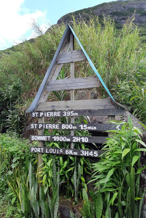
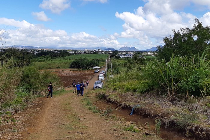
There is more than one route up the mountain. We started from St. Pierre, a little village at the foot of the mountain The hike starts at the carpark here. It can hardly be called a carpark. There is only room for 4 or 5 cars! The rest had to park along the roadside.


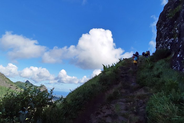
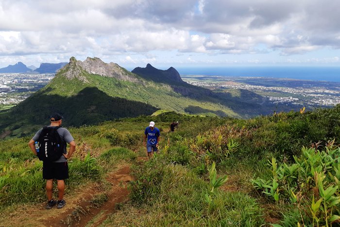
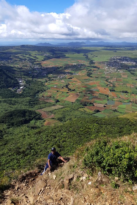
The trail is well worn, signposted and easy to follow. The first part goes through dense forrest on a rocky «road». The underground was wet and muddy, but it did not take long before we reached a more open, grassy area overgrown with wild guava and acacia.
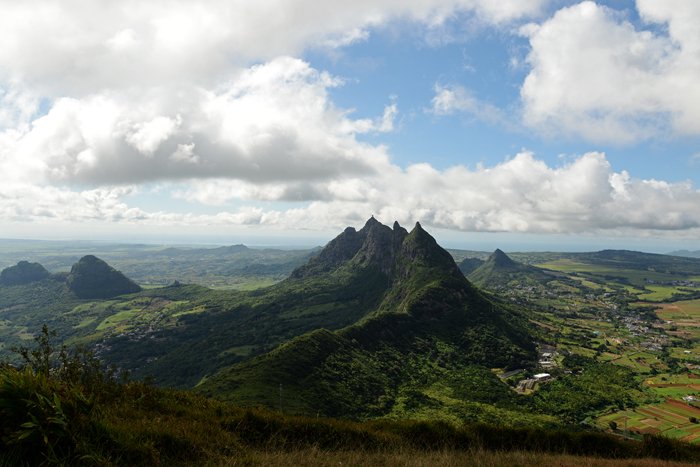
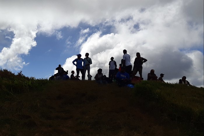
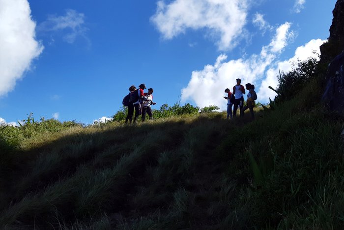
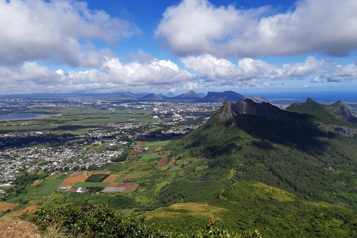
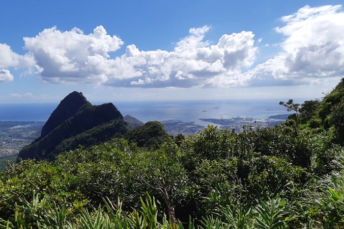
At the plateau, just below the summit itself, we made a stop to wait for everyone in the group to come together here. The view is wonderful even from here. The 2nd. highest peak on the island is Pieter Both – the one which has a rock on the top, with a shape which resembles a human face. This is also a mountain possible to climb, but I think technical skills are needed.
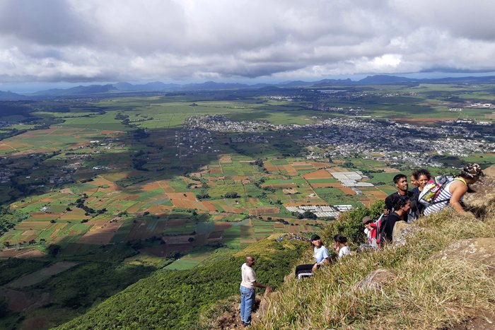
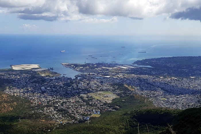


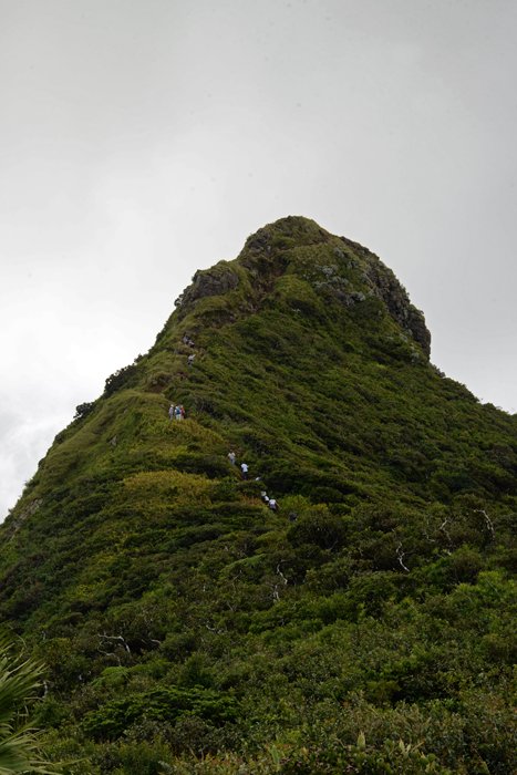
The final part up the «thumb» is steep and rocky. It became more or less a climb where both hands were needed. But it is short and did not take long to reach the top. The very top is very small and with steep edges. We were only a few people here at the same time. It may not be comfortable if crowded. But the view is absolutely stunning! To look at Port Louis from here is an incredible sight. The island is something like 65 km. in lenghts and 45 km. wide. From the summit it should be possible to see almost the entire island when it is clear weather.

We returned the same. The total length is almost 5 kilometers out and back and took us 3-4 hours. As we walked, I was told that Charles Darwin is believed to have been to the top. After the trek I had to check it out. I found out that Darwin was in Mauritius. In his journal from 1845 he actually wrote about the ascent and other interesting observations about Mauritius! ( http://darwin-online.org.uk/content/frameset?pageseq=497&itemID=F14&viewtype=side )
My holiday on this tiny tropical island will soon come to an end, but I have achieved what I had planned to do: Visited the two UNESCO World Heritage Sites. I chose to hike Le Morne Brabant (which is one of them) Doing that, I realized that the island has more to offer than the beaches. I am pretty sure I will do more hikes next time. If any of you who read this are thinking about holiday in Mauritius, I can really recommend doing some hikes.
Please do follow if you want to keep up with my next travel story. Any upvotes or resteems are hugely appreciated!
Latest travel stories, check out :
Mauritius #3 – A new generation is changing the faded old Chinatown
U.J
Kristiansand, Norway
All the photoes are mine, Ulla Jensen (flickr, Instagram and facebook)
[//]:# (!steemitworldmap -20.164467 lat 57.501225 long Mauritius #4 – A 360 degrees view of the island d3scr)Latest content: Travel, Art, Food, Article, Poetry