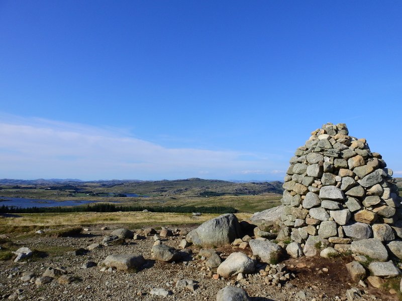
Synesvarden, Looking out over Jæren
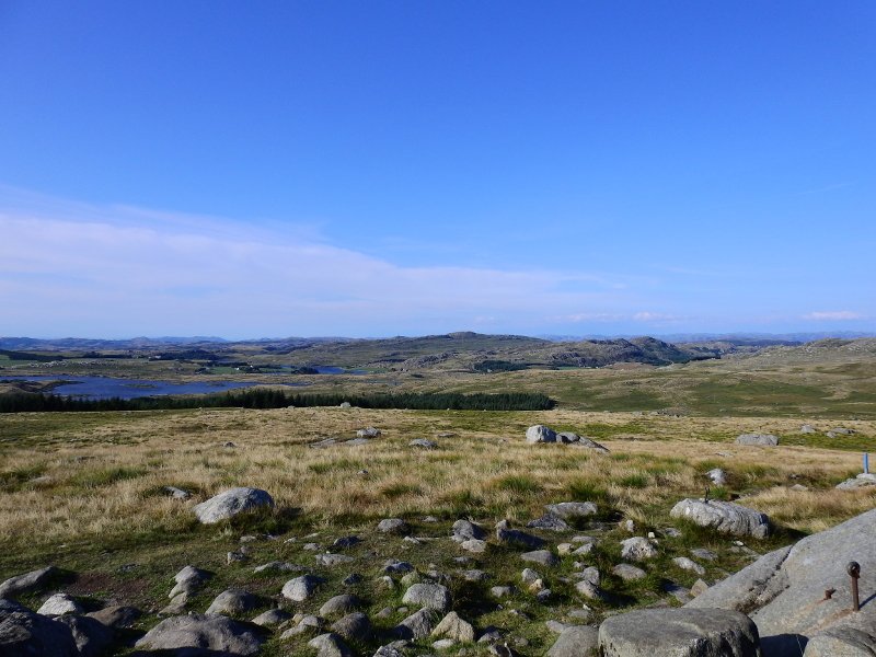
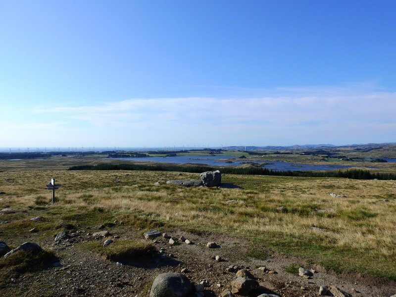
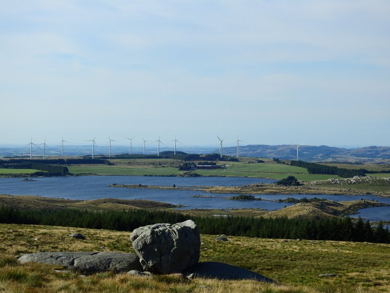
The terrain along the trail is brown and monotonous alternating between heather heaths and marshlands. Several ponds and great fall colors offers an idyllic round trip you will not forget. Large parts of the flat Jæren have just looked like this before the cultivation of land was actually launched in the later half of the 1800s.
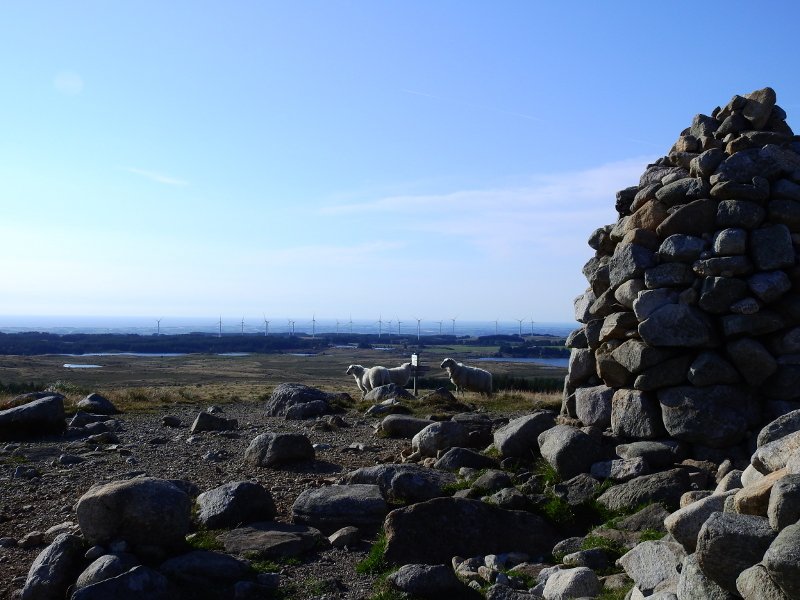
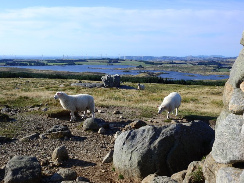
Today, the Synesvarden area is the largest remaining brown heather land in the whole of Jæren. Grazing animals (sheep) make sure that the small seeds that the birds have sown do not grow old, it is also possible to find cloudberries when the season offers this. In the forest area of Obrestadheia, the municipal boundary is between Hå and Time municipality, Synesvarden is located in Time municipality.
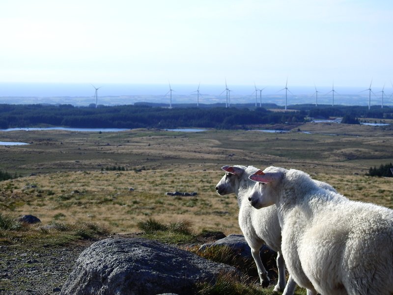
At the top, the view is brilliant in all directions, north and east dominate mountain peaks and higher terrain while the western and southern directions offer more flat areas to the coast.
The sheep up here are very friendly, they even like to be pet.
Original (4608x3456)
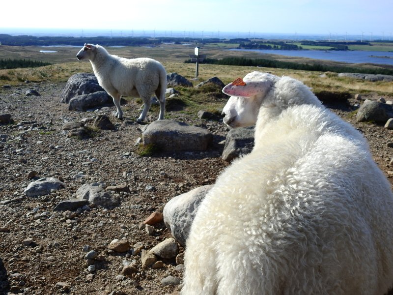
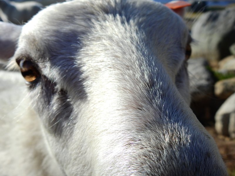
Some of them might even get all up in your face.
Original (4608x3456)
Don't forget to join the ongoing contest
Location: Synesvarden, Jæren, Norway
Camera: Nikon P900
No filter have been used
No editing have been made to these photos
Photographer: @flatman
Latest Post: Competition #3 - Zoomed Picture - Guess & Win

