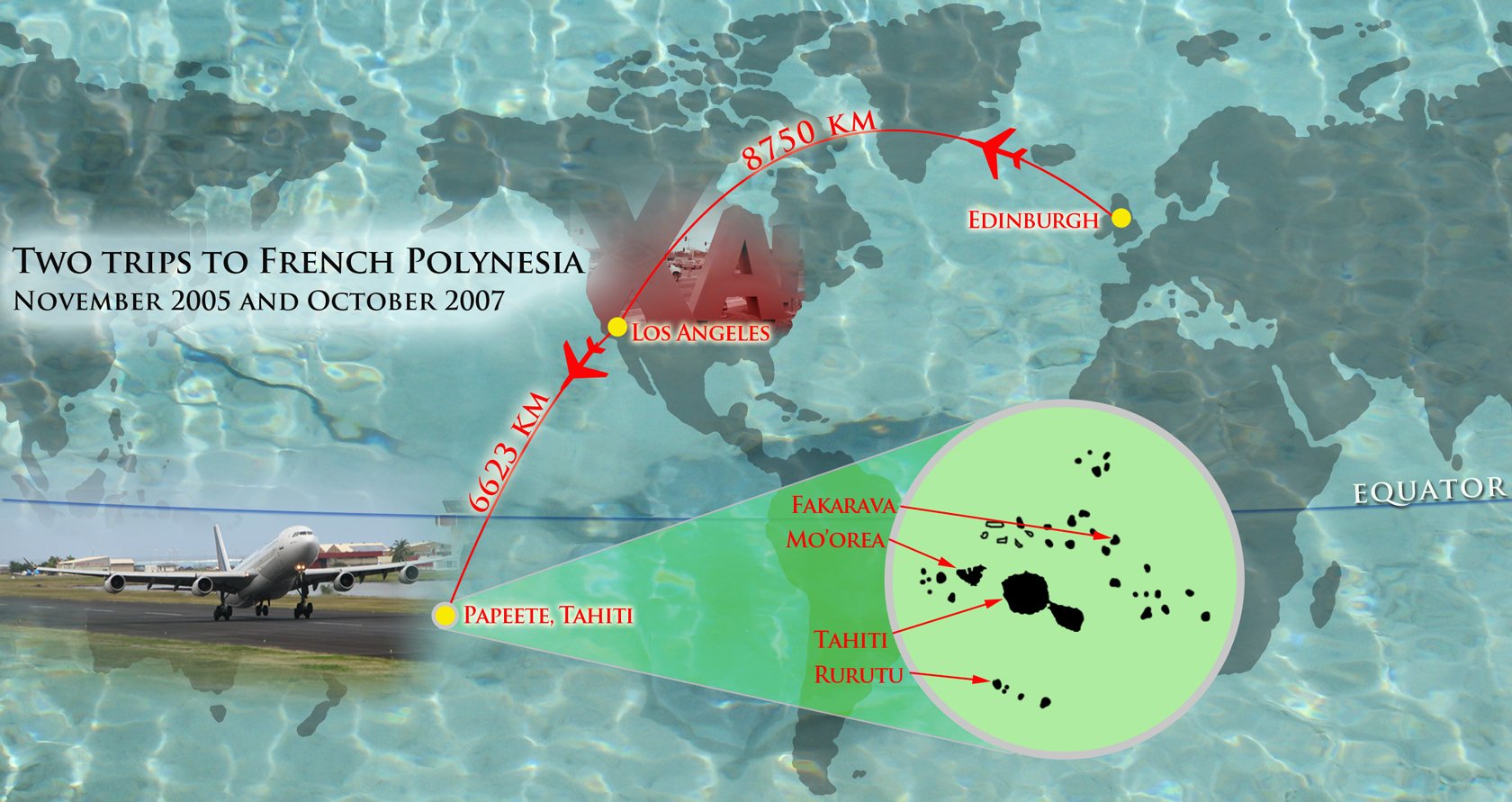
This is the second part of French Polynesia in photographs and a few words. The context is introduced in Part 1, where the photographs are of the island of Tahiti. Click here if you would like to read the first part in this series. I have sized the images to a width of 1680 pixels, so if you'd like to zoom in, you can use the right-click (CTR-click) options to 'view image' for more detail.
In this post I present photographs from trips to the islands of Mo'orea and Rurutu. Mo'orea is visible from Tahiti, and a short ferry ride away. Rurutu is the northernmost island in the Austral Archipelago, 572 km South of Tahiti.

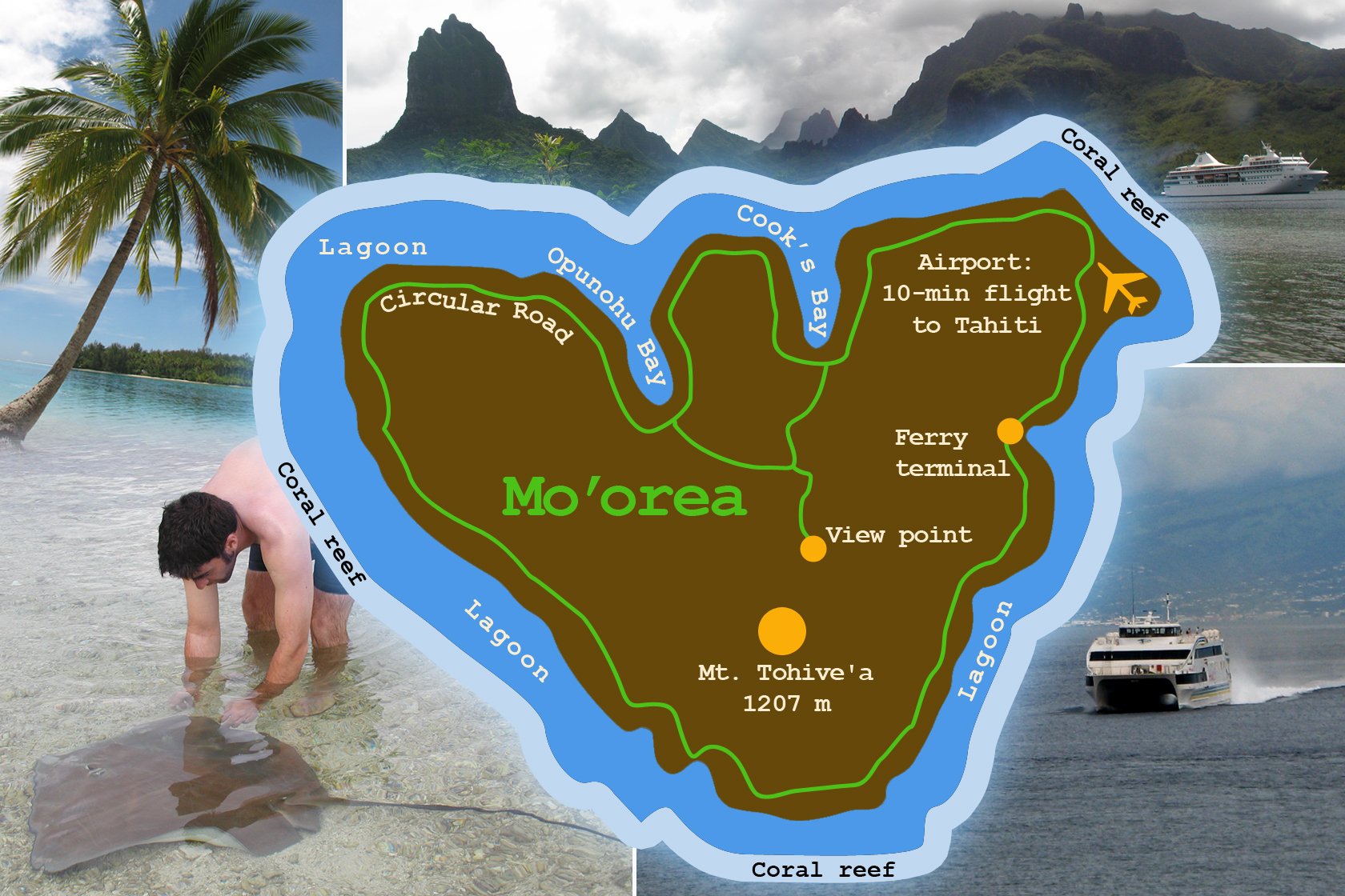
Island of Mo'orea | 17 km NW of Tahiti
Mo'orea is one of the Windward Islands, part of the Society Islands. The name Mo'orea means "yellow lizard" in Tahitian. The island, with an area of 134 km2, has a population of around 16,000. The highest point is Mont Tohive'a at 1207 metres. It is a popular honeymoon destination.
Mo'orea | Land
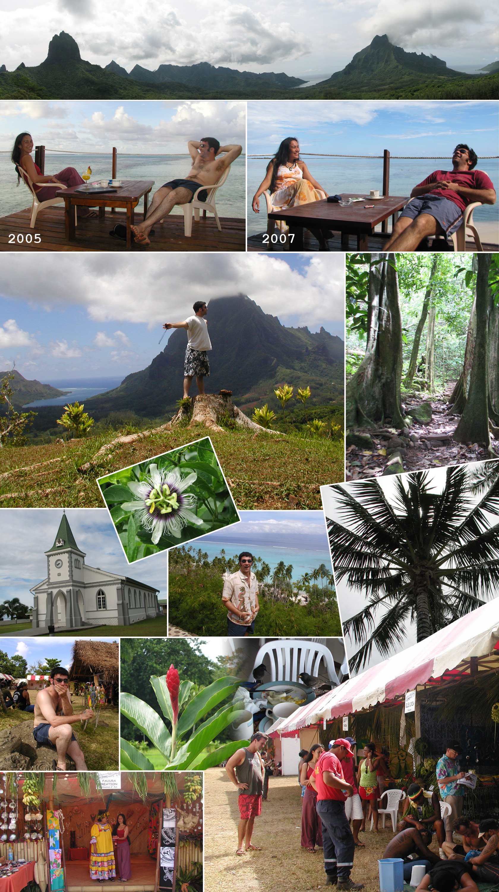
We drove around the island and went into the lush interior - up towards the viewpoint near Mont Tohive'a. A lot of the beaches are accès privé and you have to consume something in order to use them. We stopped at the same place in 2005 and 2007 - photos for comparison :D. We also attended Tattoonesia, a festival of traditional tattoos, Polynesian style. Bottom-right is a person being tattooed in this manner.
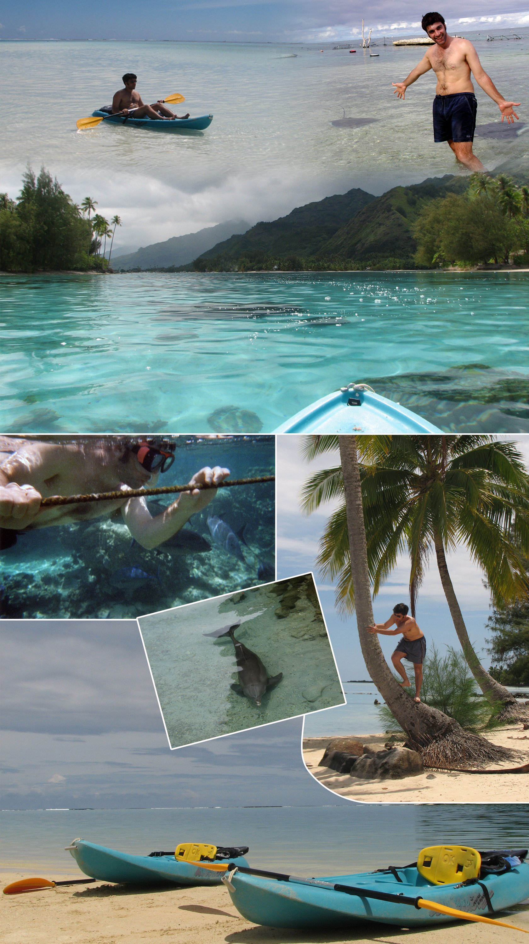
Mo'orea | Water
The colour and transparency of the water is for you to see. Fish everywhere and we visited a Lagonarium, where we chilled with the rays. I also saw my first shark - a 6-foot black tip - when we were out swimming. I froze, nearly shitting myself. M had been trying to de-condition me from fear of sharks, and I was a lot more relaxed after this initial encounter. The Dolphin is not a free bird, but a retired worker for the US Navy, living a life of captivity 😩.

Island of Rurutu | 572 km South of Tahiti
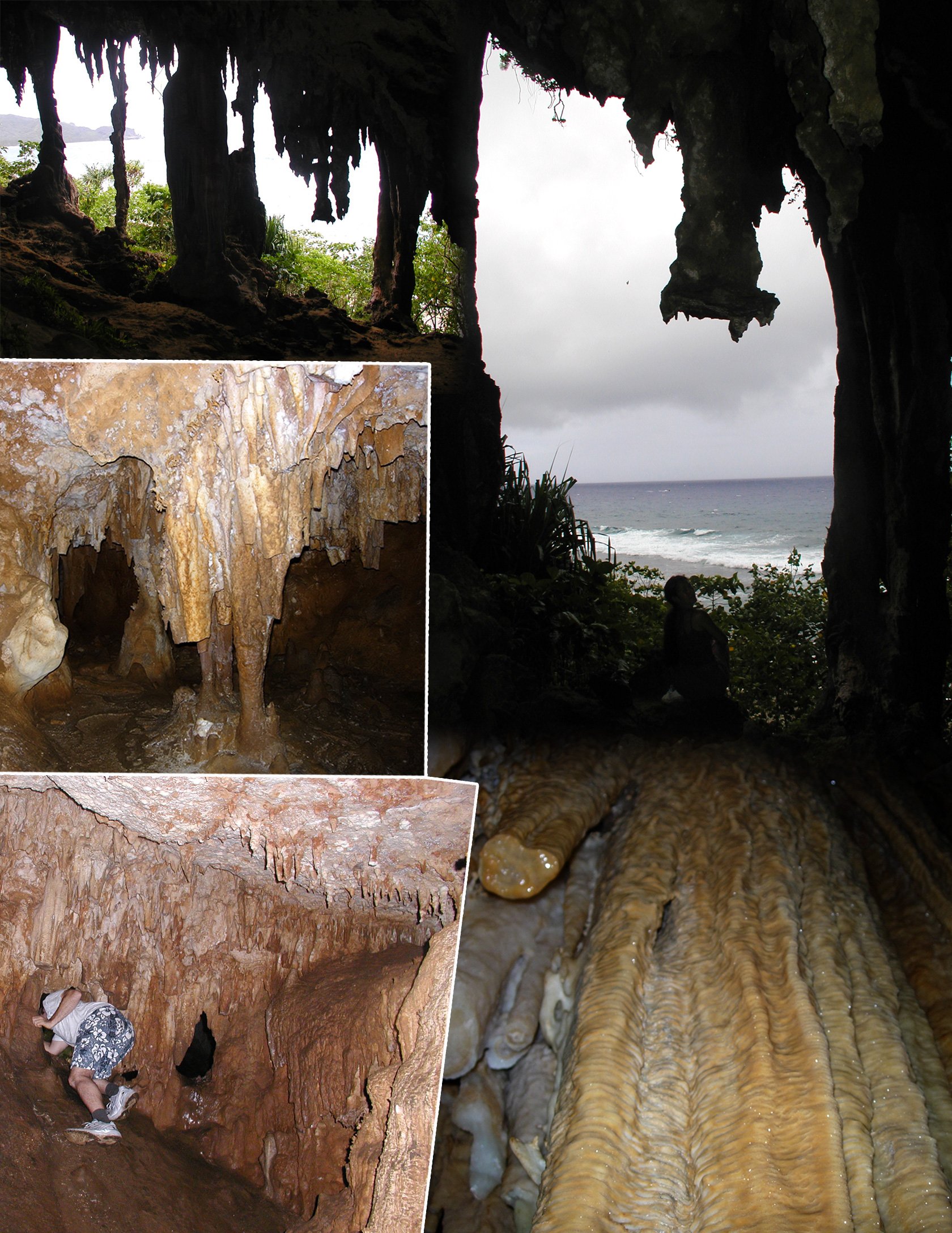
Rurutu is the northernmost island in the Austral Achipelago, with a population of just under two and a half thousand human beings. Seismic events shifted the coral shelves around and in time spectacular caves were formed. The historic inhabitants of the island were cave-dwellers. We visited one such cave.
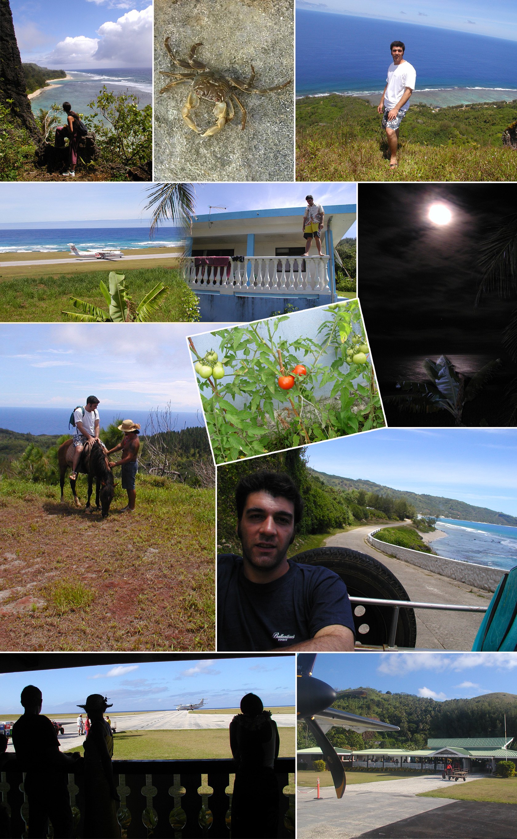
We were taken around the island, which has an area of just over 33 km2. We went horse-riding (I fell off :) and looking for Tiger sharks which were in breeding season, but didn't spot any. You'll see the little airport at Rurutu, with 2 flights per week to Papetee, the main connection to the outside world for this utterly remote island. The runway is just over the wall from the home of our hosts and the view is from where I am standing on the balustrade.
