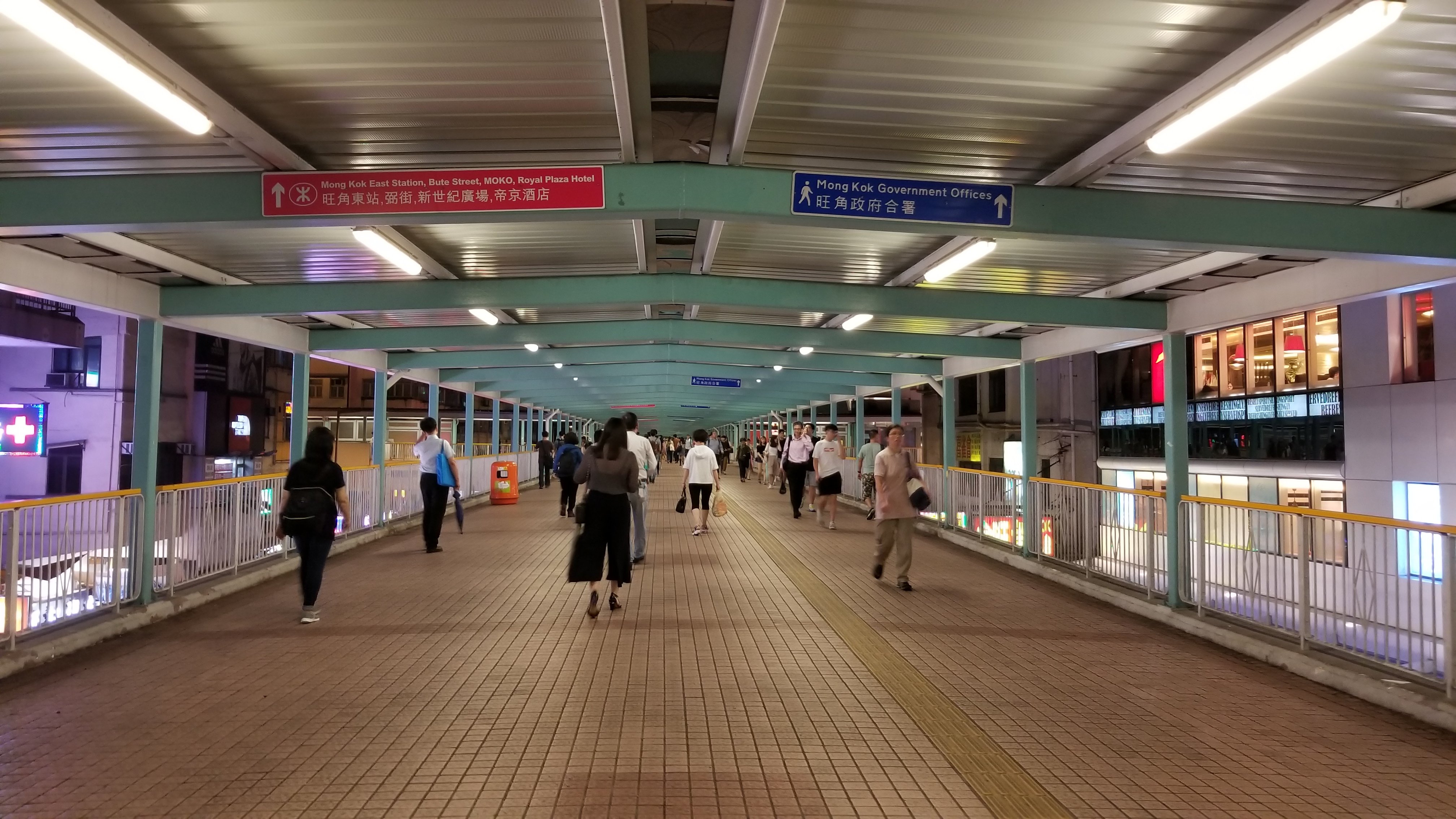
The bridge is used to connect two places. Most of it was used to cross rivers. In Hong Kong, the most well known is the Tsing Ma Bridge! But today I want to tell you about the most common bridges of people in some cities, that is, pedestrian bridges!
橋是用來連接兩個地方的,以前多數是用來橫跨河流,在香港,最為人熟知的便是青馬大橋!可是今天我想跟大家介一下一些城市的人們最常見的橋,就是行人天橋!
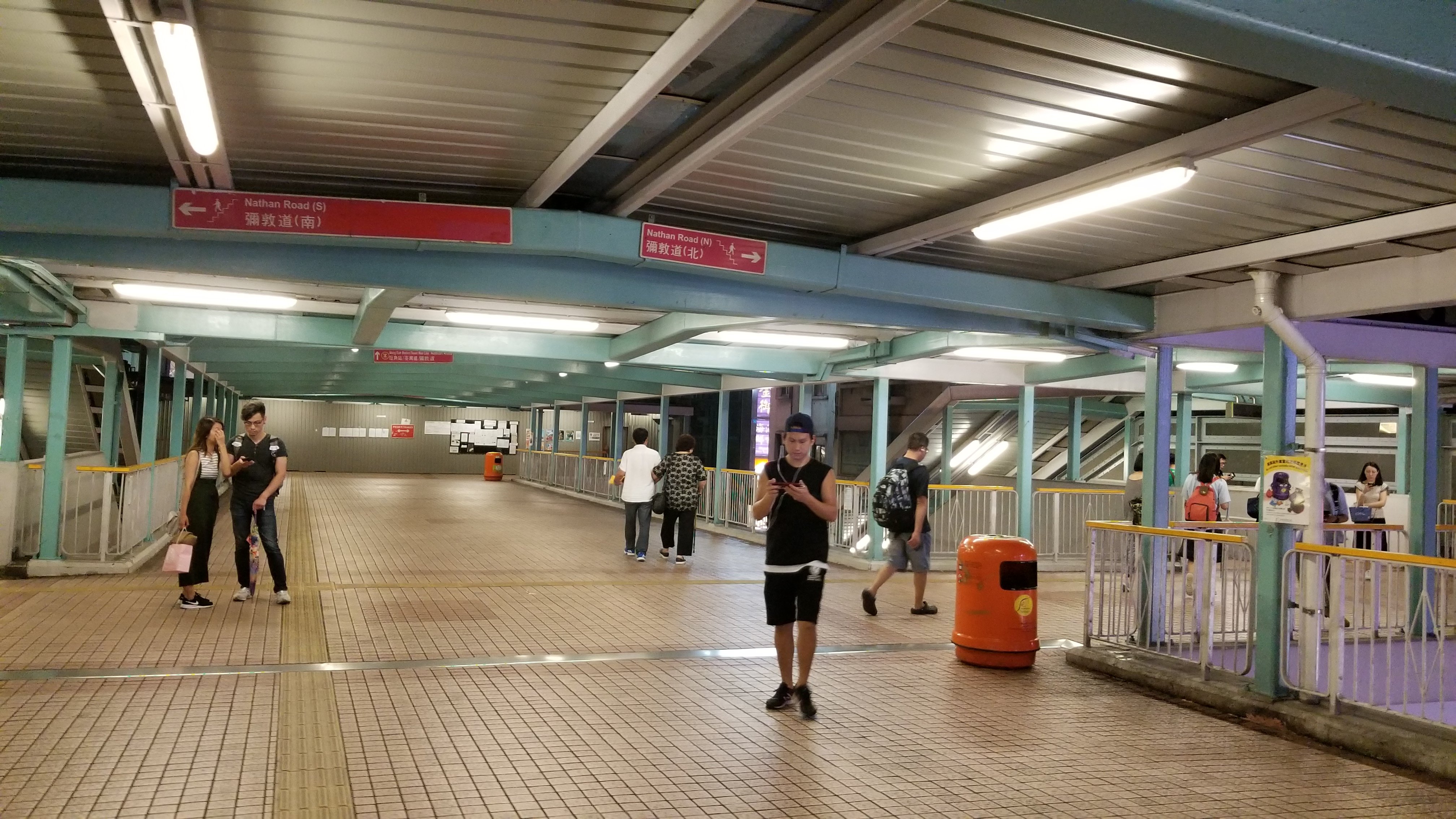
Pedestrian bridge is a bridge designed for pedestrians. It is used to groom busy roads. Walking on pedestrian bridges does not require waiting for traffic lights to cross the road. Most pedestrian bridges are single and cross the road from one side to the other!
行人天橋是一座為行人設計的橋樑,用於疏導繁忙的路面,行走在行人天橋了上就不用等交通燈過馬路了,多數的行人天橋都是單一的由一邊馬路橫越到另一邊!
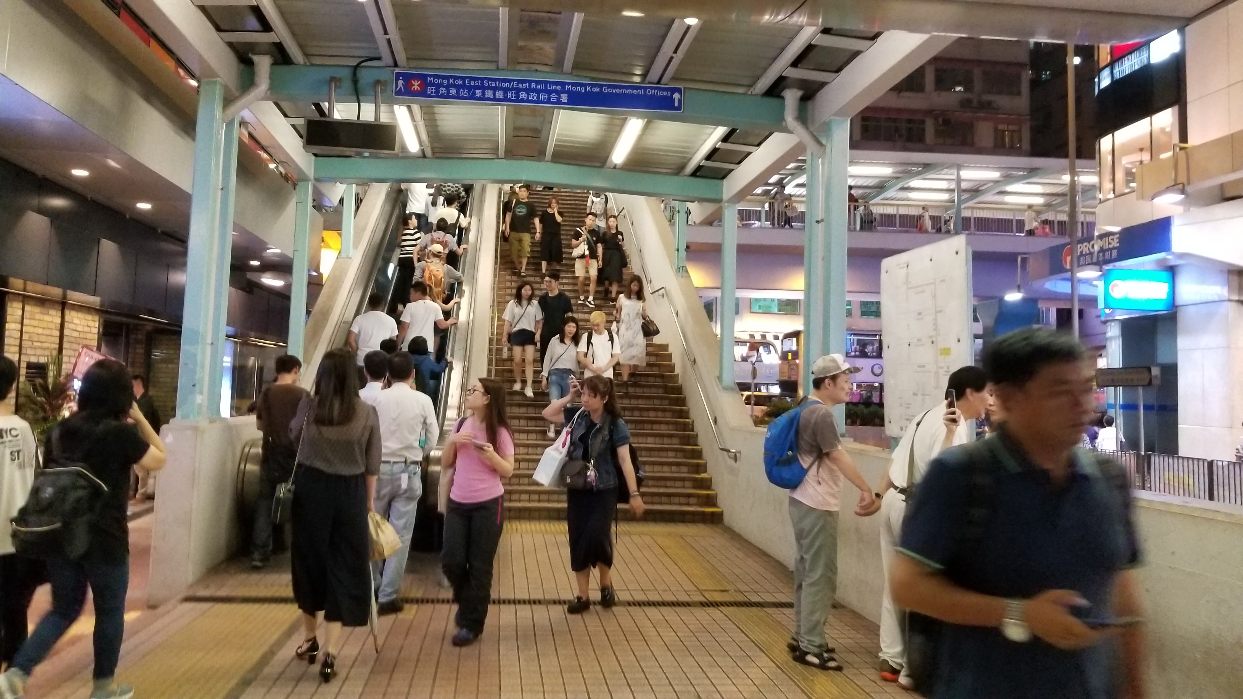
But in Mong Kok, the most densely populated city in Hong Kong, there is a spider-like pedestrian bridge connecting five major streets and directly connecting the Mongkok MTR station to Mong Kok East Station (formerly known as Mong Kok Train Station)!
但是在香港最密集的城市旺角,有一道像蜘蛛網般的行人天橋連接了五條主要街道,並直接把旺角地鐵站跟旺角東站(舊稱旺角火車站)連接起來!
The green line on the map is the coverage of this pedestrian bridge. It is located on Mong Kok Road. From the left, Nathan Road spans Sai Yeung Choi Street (Electrical Street), Tung Choi Street (Women Street) and Fa Yuen Street (Sports Street) to Sai Yee Street (train station)!
在地圖上的綠線就是這條行人天橋的覆蓋範圍,坐立在旺角道,由左邊彌敦道橫跨西洋菜街(電器街)、通菜街(女人街)、花園街(波鞋街)到洗衣街(火車站)!
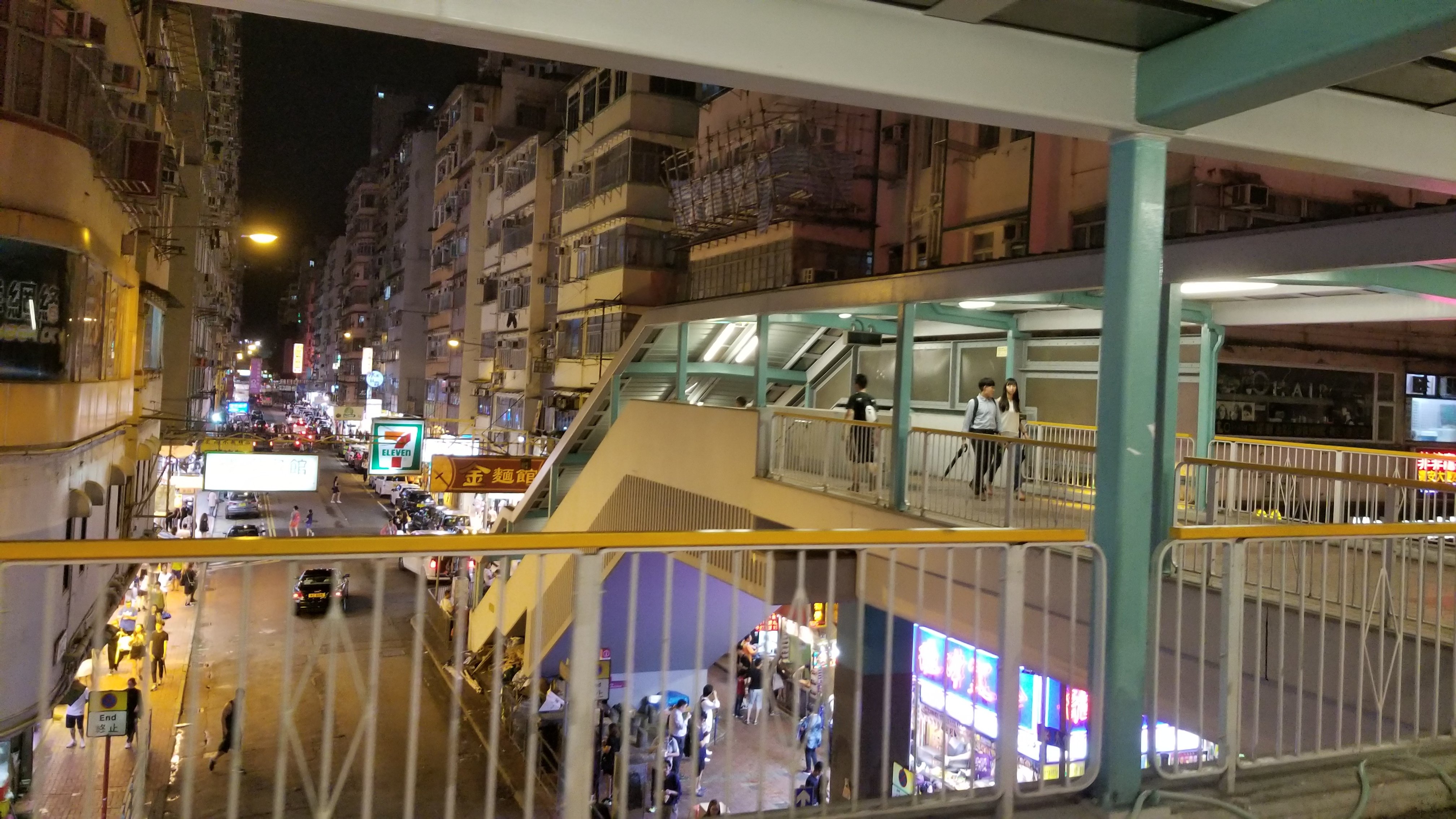
This pedestrian bridge system has been in this position since 2000. Although it does not have special architectural features, it is equipped with elevators, stairs and escalators. It can assist people with different obstacles to use it, and it can even play its role in rainy days!
這道天橋系統從2000年已經座落這個位置,雖然並沒有特別的建築特色,可是卻配備電梯、樓梯及扶手電梯,可協助不同障礙的人士使用,在下雨天更能發揮其功能!

In the evening, there are sometimes hawkers and street performers on the overpass!
在晚上,這天橋上有時還會有小販、街頭表演者的出現!
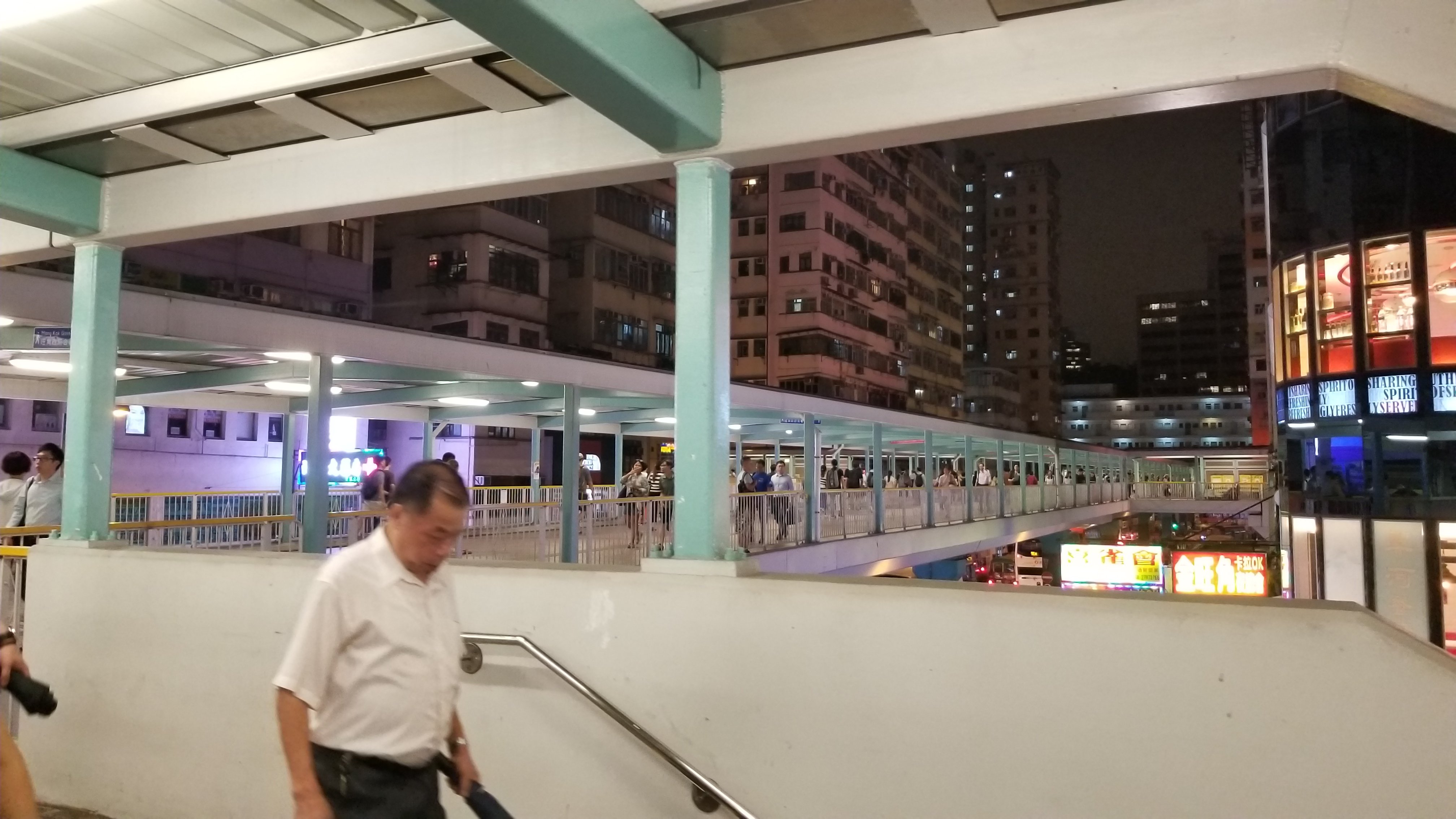
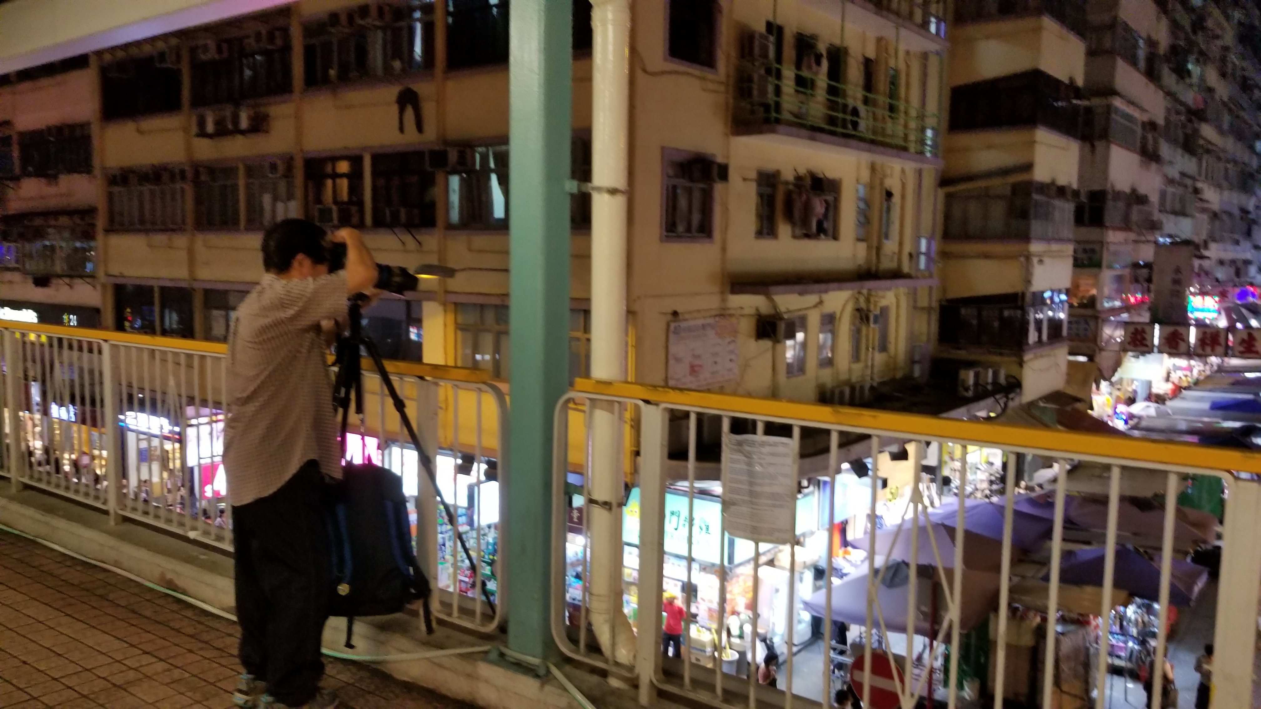
Take a look, there will be some people take photo at here!
看看,還會有龍友(攝影為主的業餘族群)的出現!
Many thanks to @aaronli for hosting this competition and giving me a chance to look back the city in our busy life.
非常多謝 @aaronli 舉行這個比賽,給予一個機會,在忙碌的生活中細看我們所居住的城巿。
 |
 |
 |
 |
 |
|---|
!steemitworldmap 22.3217497 lat 114.1699432 long d3scr
