F4.0 - 1/125 sec. - ISO125
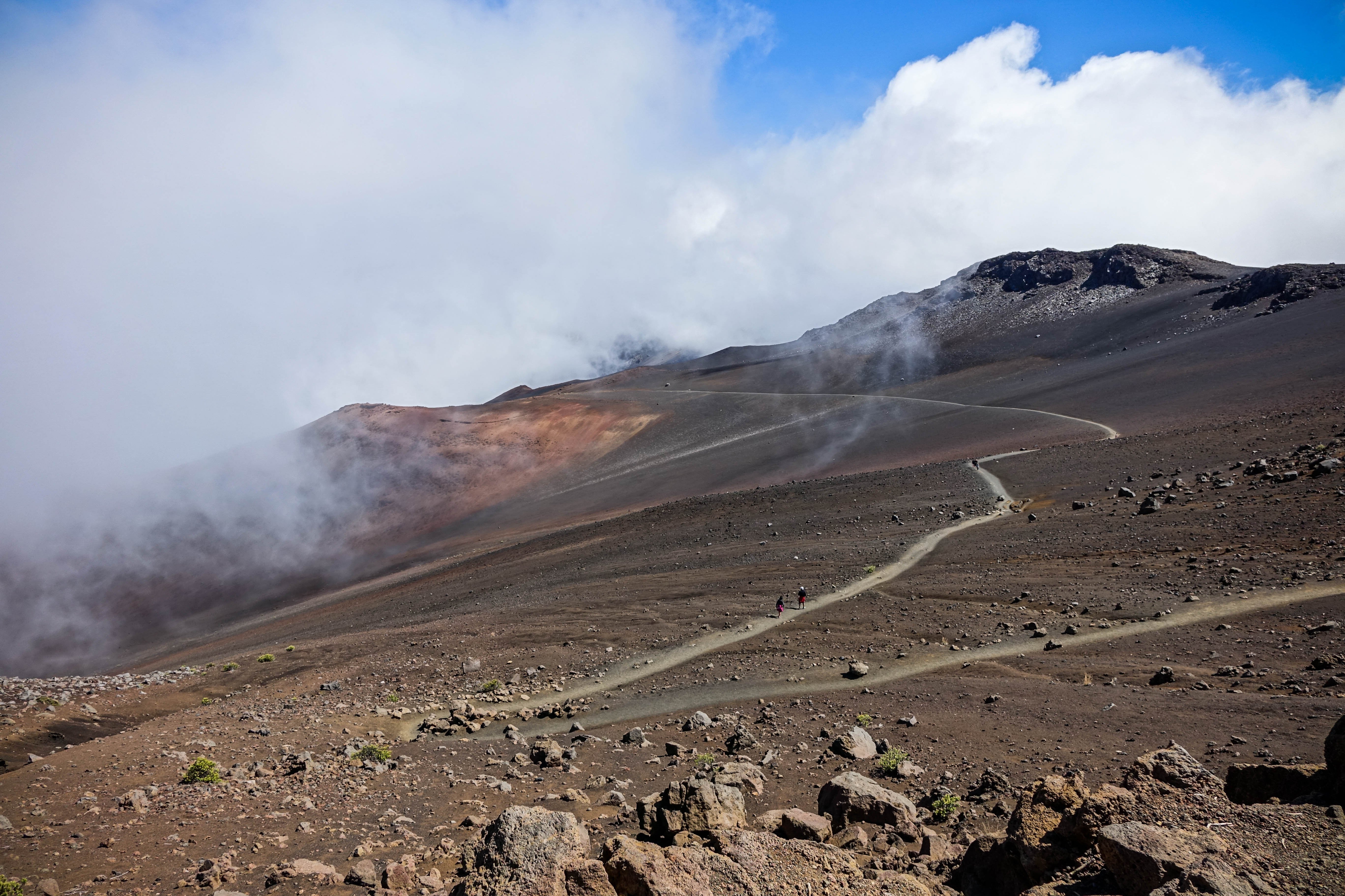
The Haleakala volcano covers over 75% of this hawaiian island's surface area. Since it is no longer active, the summit region can be explored safely. I once heard that this is the only place on earth where you can drive from sea level directly to an altitude of over 3,000m by car. The barren landscape can be explored on foot along numerous hiking trails and offers great views if you catch a clear day. Unfortunately I didn't have this luck, the thick fog cleared only now and then temporarily. I used these short moments for captures like this one.
Der Vulkan Haleakala nimmt über 75% der Fläche dieser hawaiianischen Insel ein. Da er nicht mehr aktiv ist, kann die Gipfelregion gefahrlos erkundet werden. Ich habe mal gehört, dass dies der einzige Ort auf der Erde ist, an dem man mit dem Auto direkt von Meereshöhe auf eine Seehöhe von über 3.000m fahren kann. Die karge Landschaft lässt sich über zahlreiche Wanderwege zu Fuß erkunden und bietet immer wieder großartige Aussichten, sofern man einen klaren Tag erwischt. Leider hatte ich dieses Glück nicht, der dichte Nebel lichtete sich nur ab und zu vorübergehend. Diese kurzen Momente nutzte ich für Aufnahmen, wie diese.