Hello everyone!
How are you doing today? I sincerely hope all of you are doing great. It's been a couple of hectic days and that's not how things are supposed to be during the weekend, but it is what it is and I am perfectly fine with that. Taking some time to relax and recharge our batteries is necessary, however some extra work is always good. I decided to spend my free time in a productive manner and started working on another Cartography blog, so here I am with another part of this series. I've got no time to waste though, so let's do this!
As promised in a previous Cartography post concerning the symbolization of qualitative and quantitative point data, this is the fifteenth part of this Introduction to Cartography series. This time I am taking the chance to share further information regarding the symbolization of geographical elements by emphasizing on linear data. We will take a look at the way Cartgoraphers symbolize linear data depending on the map scale utilized. We will also talk about qualitative and quantitative linear data, so stay focused!
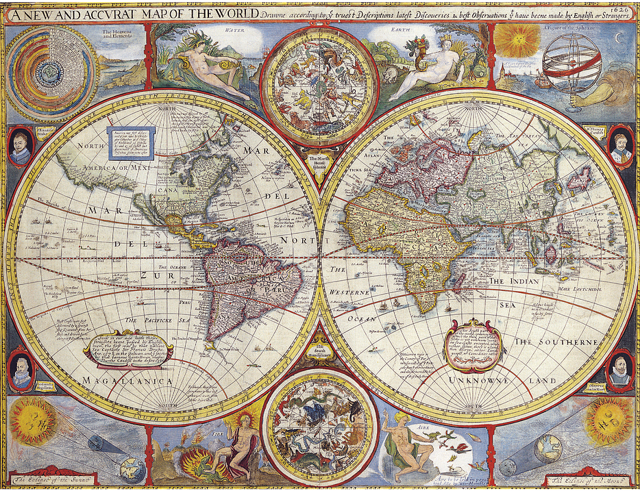
Once again, I'd like everyone to keep in mind that this is an introductory series about Cartography, which is the art and science of creating accurate 2D depictions of our 3D world. This actually means that I will be presenting general information with a pinch of humour so that we can have some fun while learning something new. And that's because I do believe that there's always a possibility of learning a thing or two by reading through these posts, so stay tuned!

Introduction
As explained in a previous post There is a huge variety of categories of spatial data utilized by Cartographers in the creation of multiple types of mappings serving various different purposes. All data gathered in order to assist Cartographers in the process of defining geographic locations with accuracy equals a very small percentage of the total volume of spatial data used in the design and creation of a map. As explained in the previously of, the symbolization process is a very demanding and complicated job with unique difficulties and endless problems. Problems that induce the need for the utilization of various engineering methods, such as the process of map generalization.
The efficient selection of various symbols in order to depict geographical phenomena and to represent their attributes and correlations with precision is highly dependent on the level of measurement utilized. If the process of map generalization is followed, then the level of measurement regarding the spatial elements' characteristics changes. This is by far the most common approach to deciding which primary visual variables will be utilized for the creation of appropriate symbols that could effectively represent the data gathered. We should always keep in mind that all visual variables represent specific levels of measurement, thus the proper selection of primary visual variables is one of the most significant obstacles.
The success of the whole project when building a map depends on the outcome of the process mentioned above. Cartographers need to make wise decisions when picking primary visual variables and level of measurement. Precision regarding the design process is of secondary significance, especially if the symbolization process has been concluded efficiently and successfully. If not, the end product is not useful at all even if quality standards regarding the map's design are kept high. In the following paragraphs we assume that the right decisions regarding the generalization process have been made.
Linear Elements
Many cartographic symbols designed with the purpose of representing linear spatial elements can be produced with the utilization of a combination between linear graphical elements and primary visual variables. Such symbols consist of a simple straight line that in some cases follows geometric patterns in order to create different visual outcomes that can be used to depict different geographical entities. All different versions are continuous lines that range in thickness from 0.25mm [2.5 x 10^(-4)m] to 0.5cm [5 x 10^(-3)m]. These lines are used in order to depict characteristics of spatial elements that are perceived as straight lines and can be easily spotted in all sorts of maps. They are mostly used to represent rivers, coastlines, railways, road networks, and all types of borders.
Qualitative Linear Data
Qualitative Linear Data described by a nominal scale can be efficiently symbolized if the appropriate primary visual variables are used properly. The most commonly used primary visual variable in the depiction of the characteristics of linear elements is hue, however shape and size are also rather useful visual variables. A combination of shape and size is often utilized in the creation of suitable linear symbols, which represent characteristics of geographical phenomena that are described by an ordinal scale. To be more precise, the primary visual variable of size represents variations in magnitude, while the primary visual variable of shape provides differentiation between various kinds of linear phenomena.
Another rather useful visual variable utilized in the depiction of Qualitative Linear Data is orientation. Due to the nature of this specific graphical element, it is quite obvious that misconceptions regarding the information delivered are highly likely, mainly due to the fact that linear phenomena are represented by lines, which by definition have their own orientation. If you have been following then I guess it goes without saying that the orientation of most linear symbols cannot be manipulated. And this is the main reason why such symbols are actually considered by many to be point symbols, thus the visual variable of orientation is not a popular choice in the creation of symbols that represent the characteristics of Qualitative Linear Data effectively.
Quantitative Linear Data
Quantitative Linear Data described by an ordinal or nominal scale can be efficiently symbolized with the utilization of some primary visual variables that are also used in the symbolization of point data. As explained previously, the primary visual variables of size and intensity can help Cartographers create accurate graphical elements in order to symbolize spatial elements that are perceived as lines. Just like in the case of point data, size as a visual variable is much more effective than intensity and is therefore more frequently used in the symbolization of linear data. Size as a visual variable is utilized in order to represent variations in magnitude, whereas intensity indicates differentiation or variation between different kinds of geographical entities.
Hue is another useful visual variable utilized by Cartographers in the creation of accurate representations of Quantitative Linear Data. Variations in hue indicate different kinds of geographical phenomena that are perceived as lines. Last but never least, another rather useful visual variable that can only be used in cases of colored mappings is saturation. Saturation is frequently used in the creation of symbols that indicate quantitative variations and differences regarding surface phenomena, which is going to be the topic of the next part of this series, however it is also used in the creation of linear symbols. In some cases, this specific visual variable is also used in order to enhance the effects of the visual variable of size.
Alright everyone, that's it for today. That brings us to the end of the fourteenth part of this Introduction to Cartography series. I would like to thank each and everyone of you for visiting my blog and spending time to read my work. Feel free to let me know if you have any questions in the comments below and I will respond in detail. I've got two more Engineering blogs coming out within the next four days, so stay tuned and follow me for more Engineering stuff!
PREVIOUS PARTS OF THE SERIES:

IMAGE SOURCES:
REFERENCES:
University Textbooks & Course Lectures:
Χαρτογραφία Ι/ Cartography I -TSOULOS(National Technical University of Athens, School of Rural & Surveying Engineering, Course Lecture Notes)
Xαρτογραφία ΙΙ /Cartography II -NAKOS BYRON(National Technical University of Athens, School of Rural & Surveying Engineering, Course Lecture Notes)
Internet Links:
http://webhelp.esri.com/arcgisdesktop/9.3/index.cfm?TopicName=Ways_to_map_quantitative_data
http://www.esri.com/industries/k-12/education/~/media/files/pdfs/industries/k-12/pdfs/intrcart.pdf
https://help.rockware.com/rockworks17/WebHelp/maps_2d_symbols.htm

Thank you for your attention!
Hope you enjoyed this post and did learn a thing or two.
Follow me and stay tuned for more engineering blogs.
Highest Regards
@lordneroo